The best walks and hikes around Chambon-Sainte-Croix
4.7
(127)
501
hikers
33
hikes
Hiking around Chambon-Sainte-Croix offers exploration of a tranquil farming and forestry village in the Creuse department of France. The region features wooded hillsides and small sunken valleys, providing varied terrain. The Petite Creuse river defines the northern and eastern borders of the commune, contributing to the landscape. Trails often traverse undergrowth, offering shaded paths and views of the surrounding countryside.
Best hiking trails around Chambon-Sainte-Croix
- The most popular hiking route is From One Bank to the Other Trail, a…
Last updated: July 1, 2026
4.7
(11)
43
hikers
8.94km
02:24
110m
110m
Hike the moderate 5.6-mile (8.9 km) La Celle-Dunoise loop, offering magnificent views of the Creuse valley and picturesque riverbanks.
4.7
(10)
42
hikers
Moderate hike. Good fitness required. Easily-accessible paths. Suitable for all skill levels.

Sign up for free
5.0
(5)
7
hikers
Moderate hike. Good fitness required. Easily-accessible paths. Suitable for all skill levels.
5.0
(1)
6
hikers
Easy hike. Great for any fitness level. Easily-accessible paths. Suitable for all skill levels.
5.0
(2)
2
hikers
7.25km
02:00
120m
120m
Moderate hike. Good fitness required. Easily-accessible paths. Suitable for all skill levels.
Get access to more routes and recommendations from other explorers.
Sign up for free
Already have an account?
Our route recommendations are based on thousands of hikes, rides, and runs completed by other people on komoot.
Start today with a free account
Your next adventure awaits.
Login or Signup

Tips from the Community

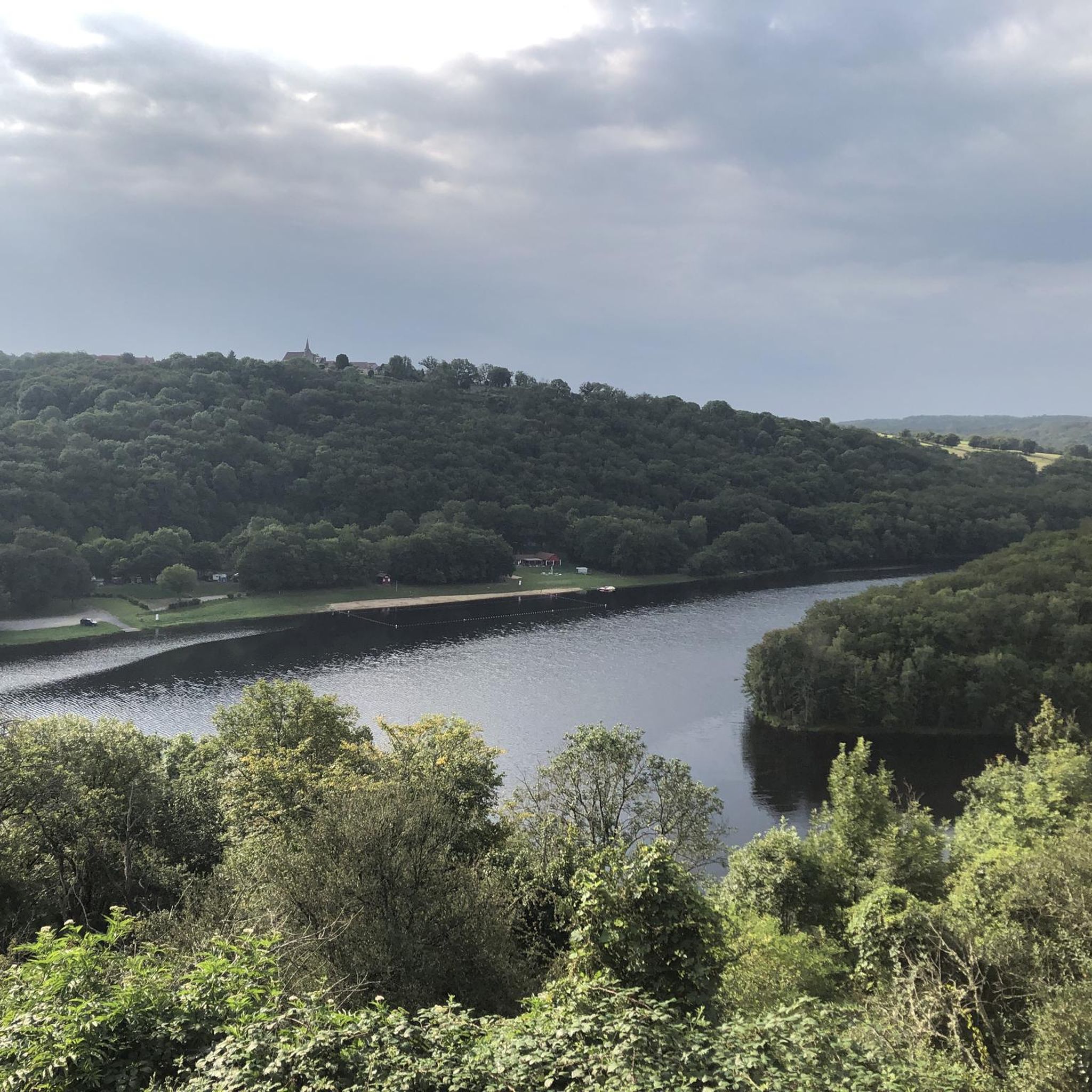
View of the Creuse, with pretty banks.
2
0

The banks are beautiful in the spring, but look promising in the summer, for fly fishing.
0
0
Pretty village with the Saint-Pierre fountain, its bridge and the banks of the Creuse. Take the height for the panorama. https://www.petit-patrimoine.com/fiche-petit-patrimoine.php?id_pp=23039_1
1
0

Located in the heart of the Valley of the impressionist painters of the Creuse, La Celle-Dunoise offers many leisure activities (canoeing on the Creuse, hiking, horseback riding, fishing ...) and a few shops to eat.
3
0

Perfect for a picnic break or to cool off
0
0
Frequently Asked Questions
How many hiking trails are available around Chambon-Sainte-Croix?
There are over 35 hiking routes in the Chambon-Sainte-Croix area, offering a variety of experiences for all skill levels. These trails are highly rated by the komoot community, with an average score of 4.7 stars.
What kind of terrain can I expect on hikes in Chambon-Sainte-Croix?
The hiking terrain around Chambon-Sainte-Croix is characterized by wooded hillsides and small sunken valleys. You'll find paths traversing undergrowth, offering shaded sections, as well as open countryside views. The Petite Creuse river also defines parts of the landscape, suggesting pleasant riverside walks.
Are there any easy hiking trails suitable for beginners or families?
Yes, there are 15 easy trails available. A good option is the La Celle-Dunoise Bridge loop from La Celle-Dunoise, which is 3.5 miles (5.7 km) long and typically takes about 1 hour 34 minutes to complete, leading through the local landscape.
Are there any specific natural features or landmarks to look out for on the trails?
Hikers can enjoy views of the surrounding countryside and explore wooded areas. A notable natural feature nearby is the Mouline waterfall. You might also find a Beautiful viewpoint over the Creuse, offering scenic vistas.
Are the hiking trails in Chambon-Sainte-Croix suitable for dogs?
Many trails in natural areas like Chambon-Sainte-Croix are generally dog-friendly, especially those traversing undergrowth and open countryside. However, it's always recommended to keep dogs on a leash, especially near livestock or in protected areas, and to check local signage for any specific restrictions.
What is the best time of year to go hiking in Chambon-Sainte-Croix?
The region's wooded hillsides and undergrowth trails make it appealing for hiking across multiple seasons. Spring and autumn offer pleasant temperatures and beautiful foliage, while shaded paths are particularly enjoyable during sunny summer days. Winter hiking is also possible, though conditions may vary.
Are there any circular hiking routes available?
Yes, many of the trails in the area are designed as loops. For example, the La Celle-Dunoise Bridge loop from La Celle-Dunoise is an easy circular route, and the Bridge over the Creuse – La Celle-Dunoise Bridge loop from La Celle-Dunoise offers a moderate circular option.
What do other hikers enjoy most about hiking in Chambon-Sainte-Croix?
The komoot community highly rates the hiking experience in Chambon-Sainte-Croix, with an average score of 4.7 stars from over 100 reviews. Hikers often praise the varied terrain, the tranquility of the farming and forestry village, and the scenic views of the surrounding countryside and the Petite Creuse river.
Are there any longer or more challenging hikes in the area?
While most trails are easy to moderate, there are a few longer options. For instance, the La Celle-Dunoise Bridge – Bridge over the Creuse loop from La Celle-Dunoise is a moderate 17 km (10.6 miles) route with over 330 meters of elevation gain, offering a more extended challenge.
Can I find amenities like cafes or restaurants near the hiking trails?
Chambon-Sainte-Croix is a tranquil village, but nearby settlements like La Celle-Dunoise or Bonnat may offer amenities such as cafes, pubs, or restaurants. It's advisable to check availability in advance, especially in smaller villages.
Is public transport available to reach the hiking trailheads?
As Chambon-Sainte-Croix is a rural village, public transport options might be limited. It is generally recommended to have personal transportation to access various trailheads and explore the wider region effectively. Parking is usually available near village centers or designated starting points for trails.
Most popular routes around Chambon-Sainte-Croix
Most popular attractions around Chambon-Sainte-Croix

Get inspired with the komoot mobile app


Explore more
Browse the best Hikes in other regions.
