The best walks and hikes around Birgel
4.5
(3080)
11,160
hikers
20
hikes
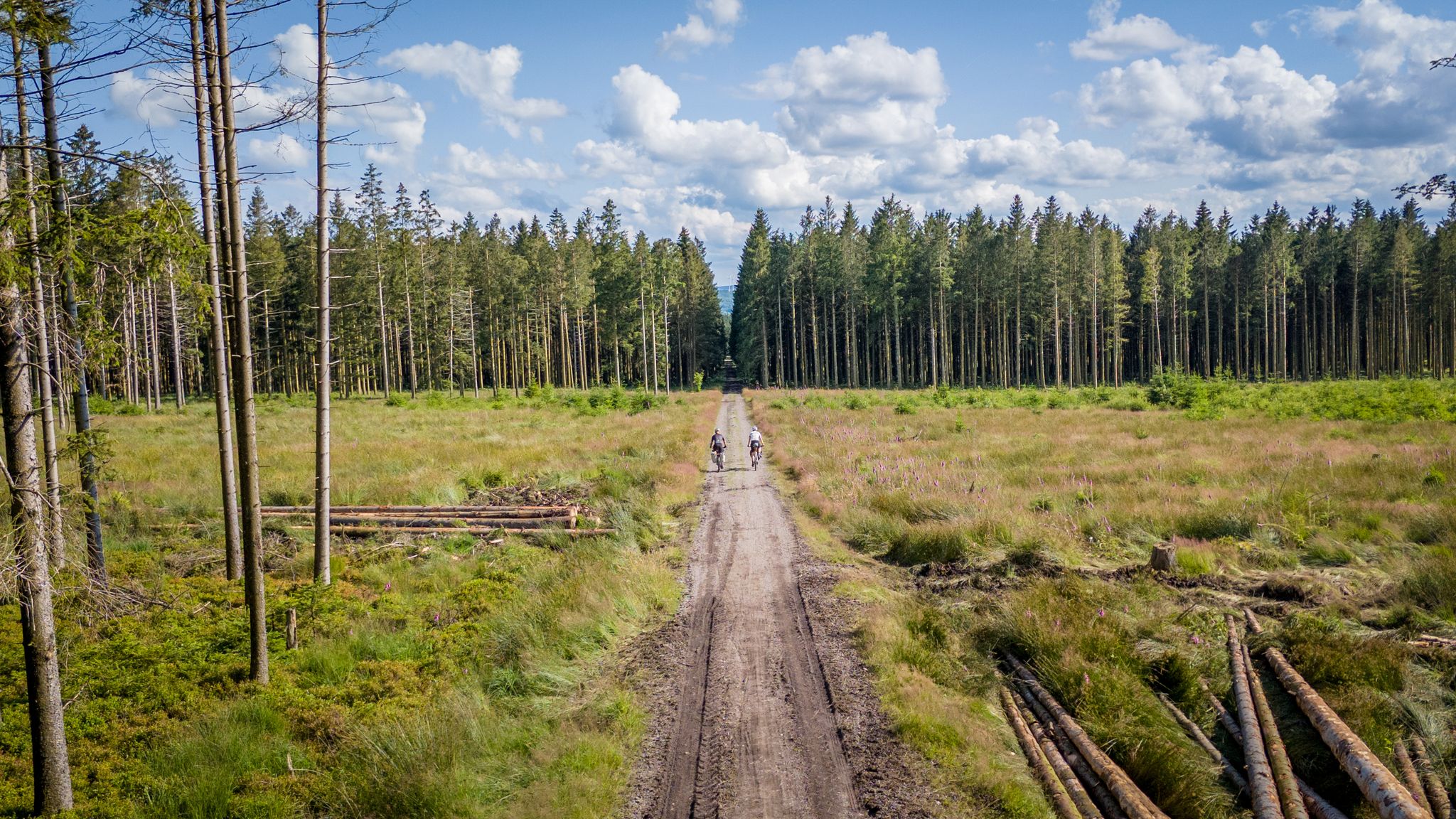
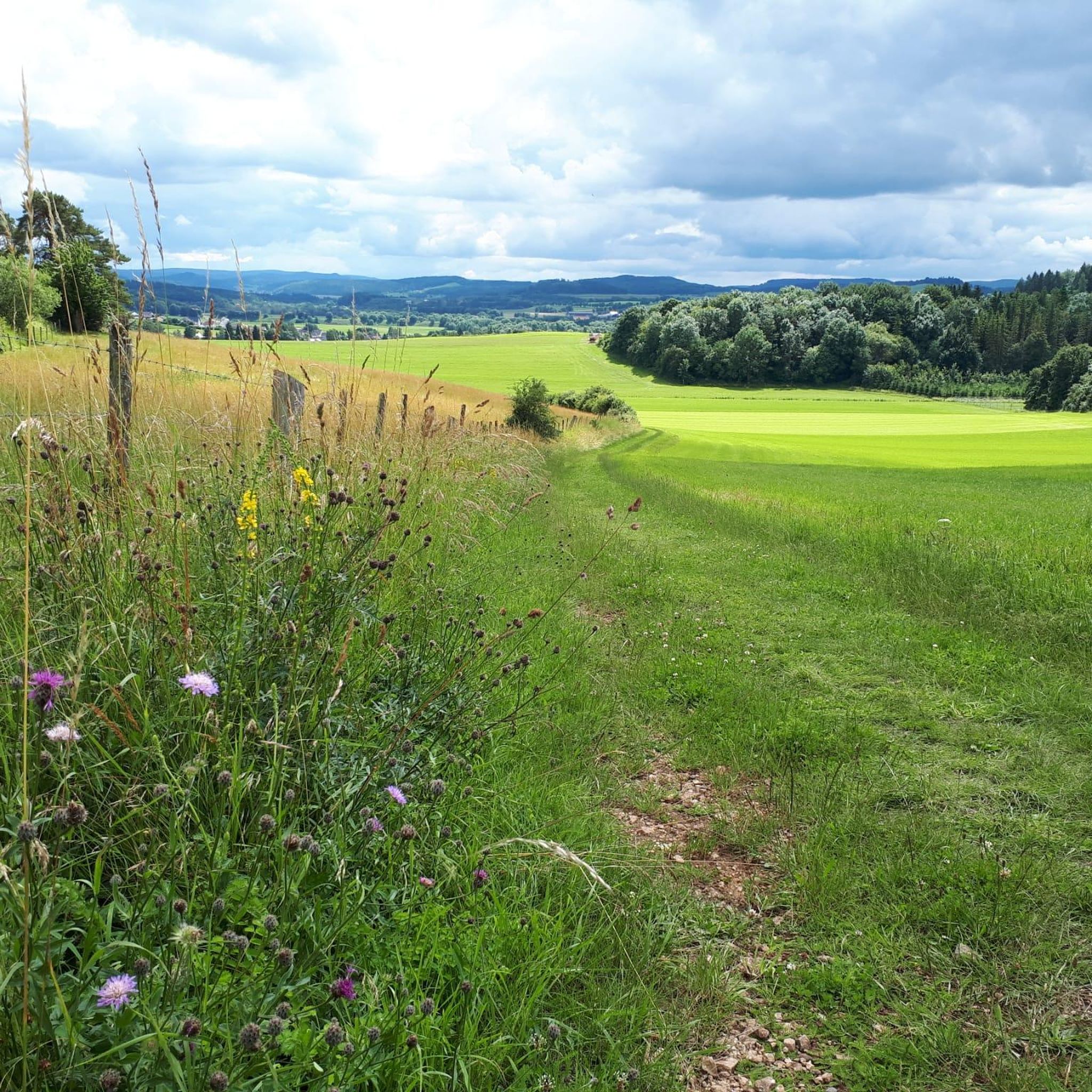
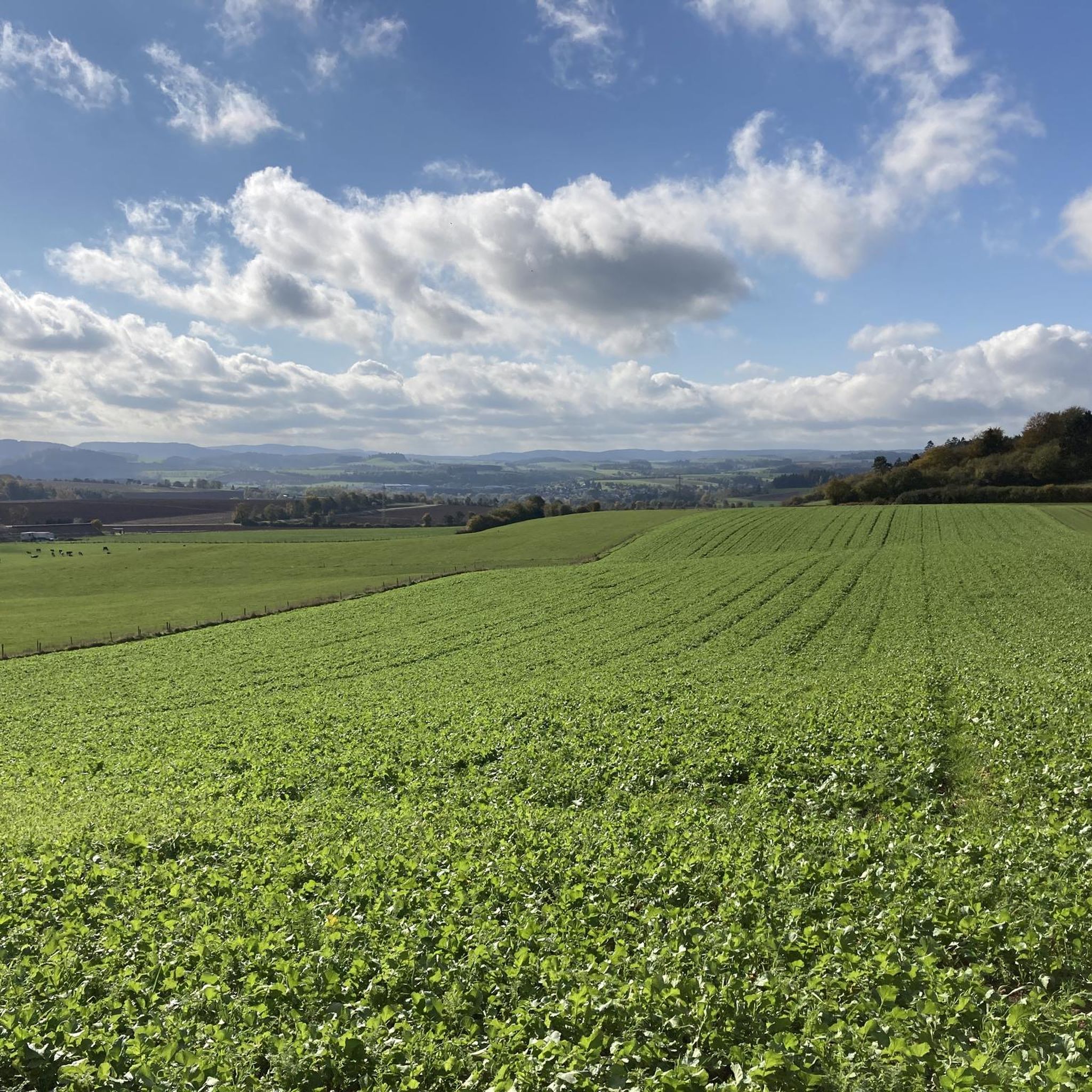
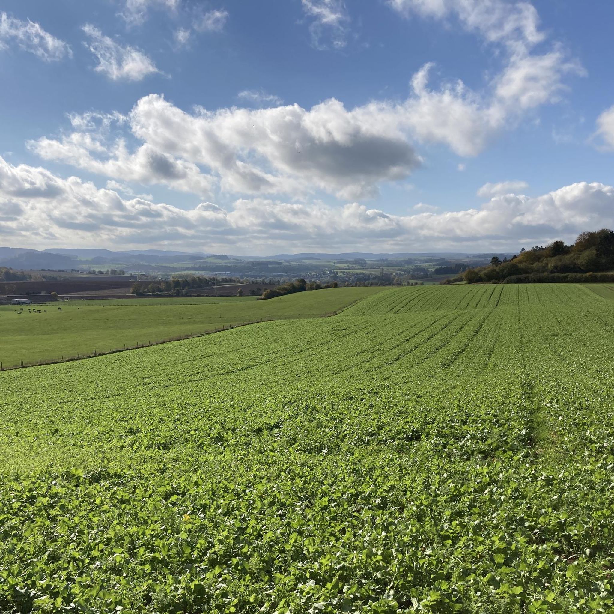
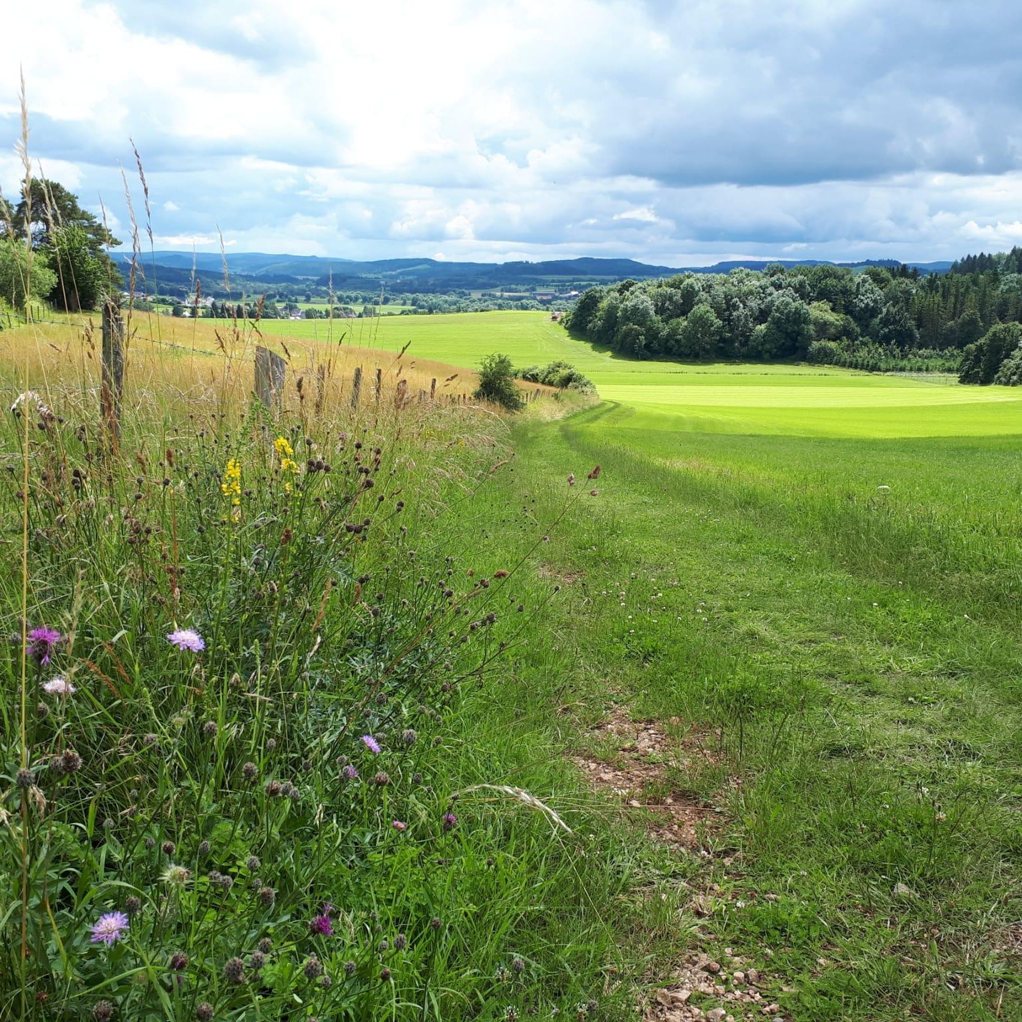
Hiking around Birgel reveals a landscape characterized by rolling hills, dense forests, and meandering river valleys within the Vulkaneifel region. The area provides a mix of elevations, offering both gentle paths and more moderate ascents. Hikers can expect diverse natural settings, including open fields, lush meadows, and shaded woodland trails, making for varied Birgel hiking trails. The region is part of the Eifel, known for its picturesque and varied terrain, including the Kyll Valley.
Best hiking trails around Birgel
- The most popular hiking route is Hirschbergrundweg in Birgel – Mühlstein Viewpoint loop from Birgel, a 5.8 miles (9.3 km) trail that takes 2 hours 32 minutes to complete, offering views from the Mühlstein Viewpoint.
- Another top favourite among local hikers is Schwarzkreuz Picnic Area – Camp Tannenhof loop from Birgel, a moderate 5.6 miles (9.1 km) path. This route winds through woodlands, connecting recreational spots like the Schwarzkreuz Picnic Area.
- Local hikers also love the Hippelsteinchen Rock Formation – Hirschberg loop from Feusdorf, a 1.9 miles (3.1 km) trail leading through varied terrain including the Hippelsteinchen Rock Formation, often completed in about 51 minutes.
- Hiking around Birgel is defined by rolling hills, dense woodlands, and scenic viewpoints, with options for both easy hikes near Birgel and more moderate challenges. The network offers options for different ability levels, including family-friendly walks.
- The routes in Birgel are highly rated by the komoot community with an average score of 4.5 stars from over 2800 reviews. More than 10000 hikers have used komoot to explore Birgel's varied terrain.
Last updated: June 30, 2026
4.8
(87)
289
hikers
9.05km
02:28
130m
130m
Moderate hike. Good fitness required. Easily-accessible paths. Suitable for all skill levels.
4.1
(15)
71
hikers
8.23km
02:11
80m
80m
Moderate hike. Good fitness required. Easily-accessible paths. Suitable for all skill levels.

Sign up for free
4.5
(4)
28
hikers
3.06km
00:51
60m
60m
Easy hike. Great for any fitness level. Easily-accessible paths. Suitable for all skill levels.
4.9
(8)
20
hikers
7.23km
01:56
80m
80m
Easy hike. Great for any fitness level. Easily-accessible paths. Suitable for all skill levels.
4.0
(4)
10
hikers
6.23km
01:39
60m
60m
Easy hike. Great for any fitness level. Easily-accessible paths. Suitable for all skill levels.
Get access to more routes and recommendations from other explorers.
Sign up for free
Already have an account?
Our route recommendations are based on thousands of hikes, rides, and runs completed by other people on komoot.
Start today with a free account
Your next adventure awaits.
Login or Signup

Other adventures around Birgel

Tips from the Community

From this bench, we have a beautiful view over the landscape of the Vulkaneifel.
0
0
Striking pilgrimage cross of the St. Matthias pilgrimage community Lechenich. In the immediate vicinity, there is a bench that invites a short break.
0
0
Striking rock formation by the roadside. A pretty photo opportunity.
0
0
To enjoy the beautiful views, it is best to hike the circular trail on a day with nice and clear weather.
0
0

In the middle of the forest, a rather unexpected structure that is surprisingly well preserved.
0
0
Nice little spot for a short break. The wooden mushroom with its "Grüß Gott" has surely gotten lost in the Eifel!
0
0
Surprisingly well preserved, unexpectedly in the middle of the forest.
0
0

Caution, slippery in the rain!
0
0
Frequently Asked Questions
How many hiking trails are available around Birgel?
Birgel offers a diverse network of over 20 hiking trails. These routes cater to various preferences, with a strong emphasis on easy and moderate paths through the scenic Eifel landscape.
Are there easy hiking trails suitable for beginners or casual walkers?
Yes, Birgel is particularly well-suited for easy hikes, with 18 of the available routes classified as easy. An excellent option is the Hippelsteinchen Rock Formation – Hirschberg loop from Feusdorf, which is a shorter 1.9-mile (3.1 km) trail leading through varied terrain.
What is the typical length and duration of hikes in Birgel?
Hikes around Birgel vary in length, but many popular routes are between 3 to 6 miles (5 to 10 km). For example, the Hirschbergrundweg in Birgel – Mühlstein Viewpoint loop from Birgel is 5.8 miles (9.3 km) and typically takes about 2 hours 32 minutes to complete.
Are there any circular hiking routes in Birgel?
Yes, many of the trails around Birgel are designed as circular routes, allowing you to start and end at the same point. A good example is the Mühlstein Viewpoint – Schwarzkreuz Picnic Area loop from Birgel, offering a convenient hiking experience.
What kind of natural attractions or landmarks can I see while hiking near Birgel?
The Birgel area is rich in natural beauty. You can explore fascinating geological formations and scenic viewpoints. Notable attractions include the Dreimühlen Waterfall, the mysterious Buchenloch Cave, and the impressive Gerolsteiner Dolomiten Rock Formations. Don't miss the View of Gerolstein from the Munterley for panoramic vistas.
Are the hiking trails in Birgel suitable for families with children?
Absolutely. Birgel offers several family-friendly walks, characterized by gentle paths and engaging natural surroundings. The varied terrain, including woodlands and open fields, provides an enjoyable experience for all ages.
Can I bring my dog on the hiking trails in Birgel?
Most hiking trails in the Eifel region, including those around Birgel, are dog-friendly. It's generally recommended to keep dogs on a leash, especially in nature reserves or near wildlife, and to always clean up after your pet.
Are there any challenging hikes for experienced hikers in the Birgel area?
While Birgel primarily features easy and moderate trails, some routes offer more elevation gain and longer distances for a greater challenge. There are 4 moderate routes available, providing a good workout amidst the rolling hills.
What do other hikers enjoy most about hiking in Birgel?
The komoot community highly rates the hiking experience in Birgel, with an average score of 4.5 stars from over 2800 reviews. Hikers often praise the quiet woodlands, well-maintained paths, and the diverse natural settings that offer both open fields and shaded trails.
Is parking available at the trailheads in Birgel?
Yes, many trailheads and popular starting points in and around Birgel, such as those for routes like the Schwarzkreuz Picnic Area – Camp Tannenhof loop from Birgel, typically offer designated parking areas for hikers. It's advisable to check specific route details for precise parking information.
Are there less crowded hiking options if I prefer solitude?
While popular routes can see more visitors, Birgel's extensive network of over 20 trails means you can often find quieter paths, especially during off-peak hours or by exploring some of the lesser-known but equally beautiful routes. The region's dense woodlands offer many opportunities for peaceful walks.
Most popular routes around Birgel
Most popular attractions around Birgel

Get inspired with the komoot mobile app


Explore more
Browse the best Hikes in other regions.
