The best walks and hikes around Chambonchard
4.6
(101)
557
hikers
49
hikes
Hiking around Chambonchard offers access to a diverse and rugged natural environment in the Creuse department of central France. The region is characterized by the dramatic Gorges du Cher, where the Cher River has carved a deep gorge through granite, and the expansive Haute-vallée du Cher, formed by the confluence of the Cher and Tartasse rivers. With altitudes ranging from 310 to 518 meters, Chambonchard presents varied topography suitable for different hiking experiences, from riverside paths along the Cher River…
Last updated: August 21, 2026
4.6
(10)
55
hikers
8.24km
02:23
200m
200m
Moderate hike. Good fitness required. Easily-accessible paths. Suitable for all skill levels.
5.0
(3)
8
hikers
Moderate hike. Good fitness required. Easily-accessible paths. Suitable for all skill levels.

Sign up for free
4.7
(3)
29
hikers
4.31km
01:11
70m
70m
Easy hike. Great for any fitness level. Easily-accessible paths. Suitable for all skill levels.
5.0
(1)
7
hikers
10.7km
03:09
300m
300m
Moderate hike. Good fitness required. Easily-accessible paths. Suitable for all skill levels.
3
hikers
10.7km
02:51
110m
100m
Moderate hike. Good fitness required. Easily-accessible paths. Suitable for all skill levels.
Get access to more routes and recommendations from other explorers.
Sign up for free
Already have an account?
Our route recommendations are based on thousands of hikes, rides, and runs completed by other people on komoot.
Start today with a free account
Your next adventure awaits.
Login or Signup
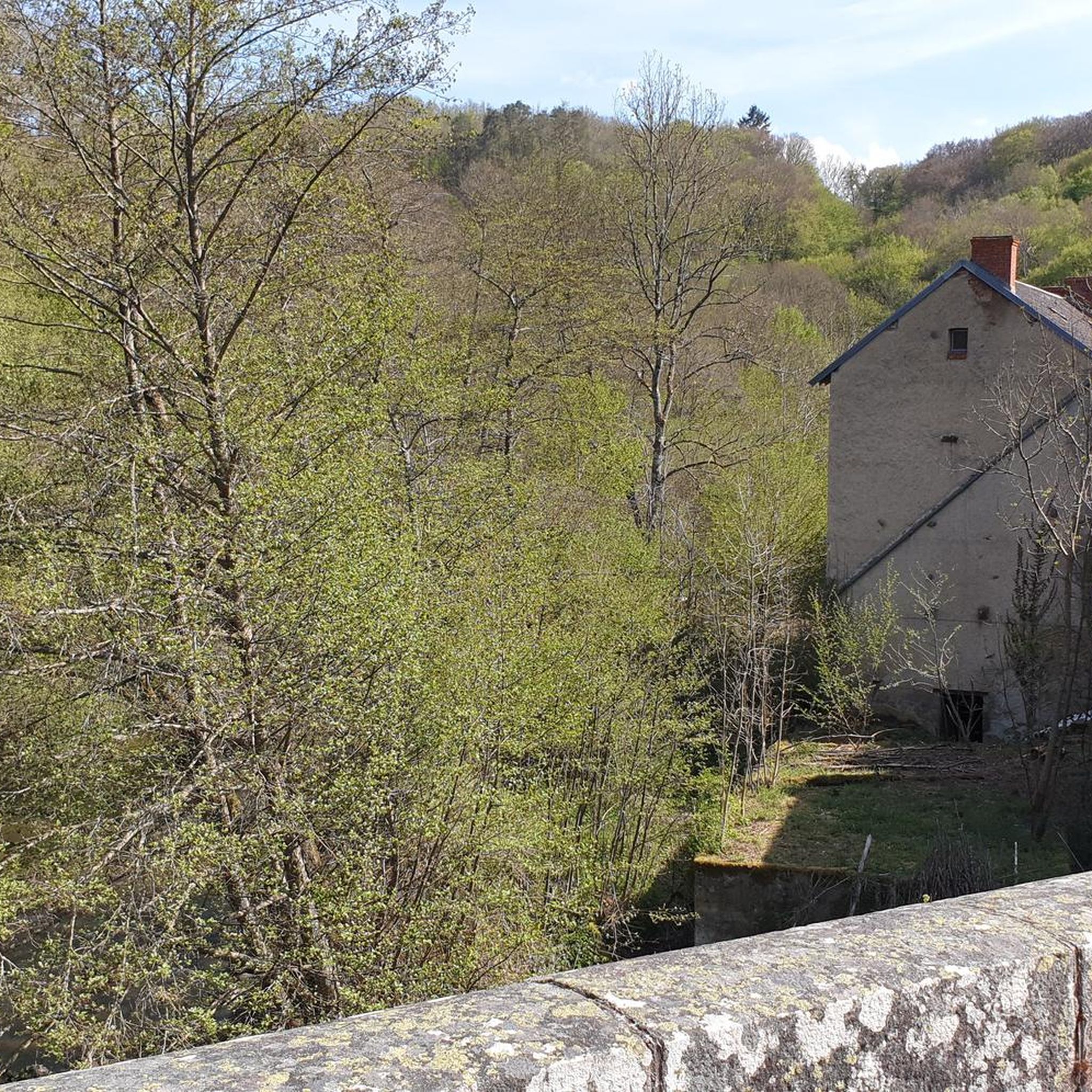
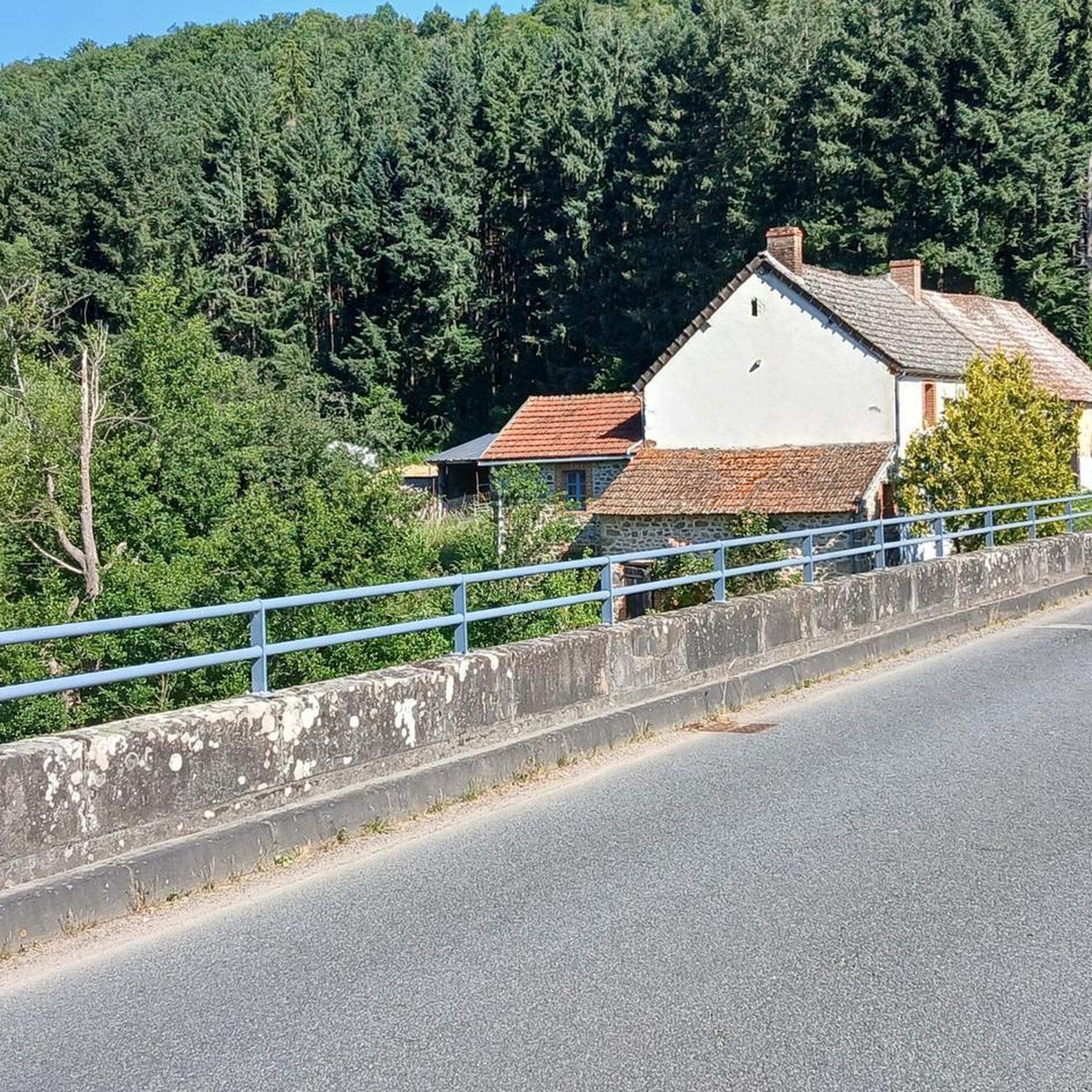
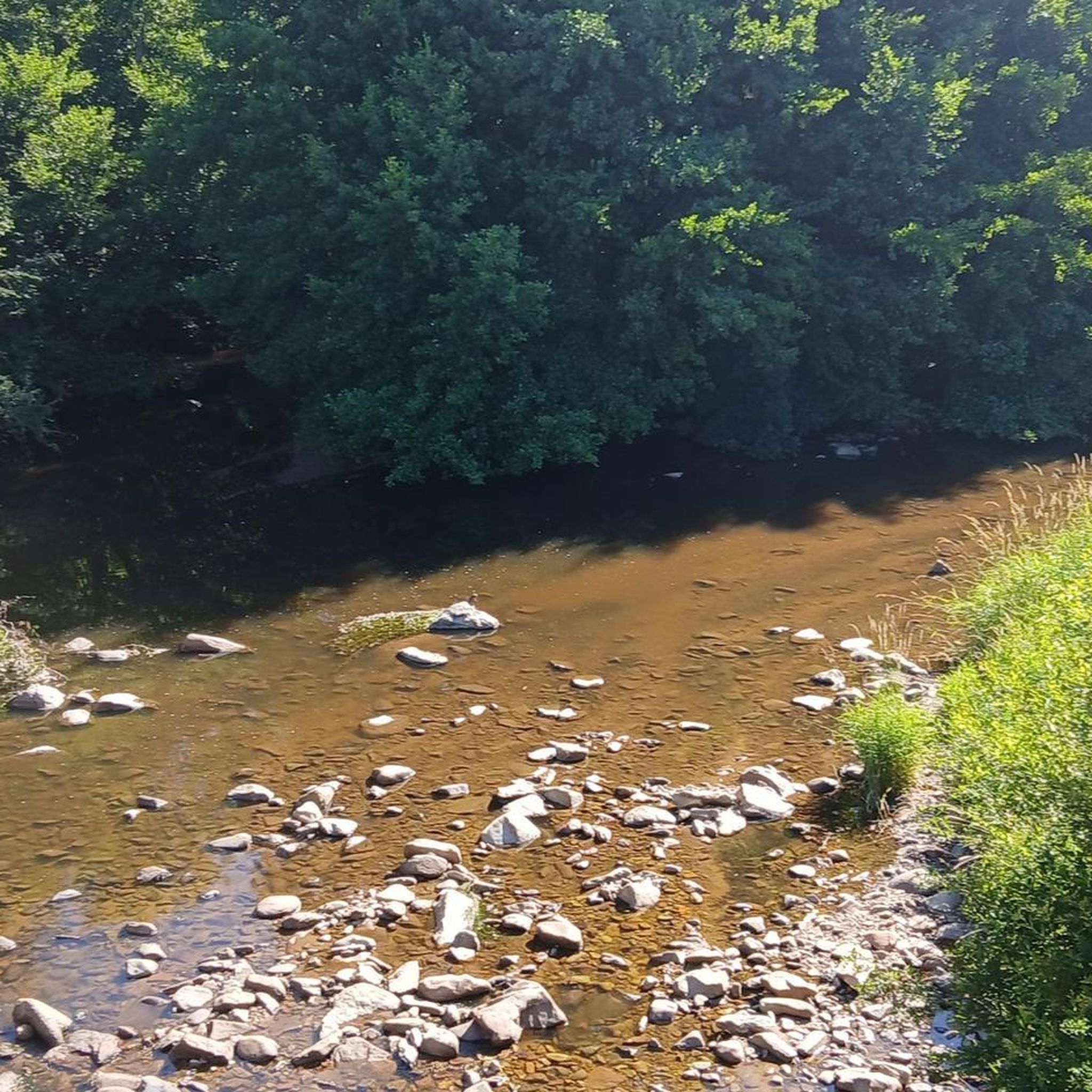

Tips from the Community

pretty thermal town of Creuse.
0
0

Evaux-les-Bains, with this beautiful mural, is advertising itself. It is, as its name indicates, a spa village. Hydrotherapy has been practiced here since Roman times, but reached its peak at the beginning of the 20th century. There is a lot of art deco in Evaux, located in the heart of Combraille. Art lovers from this period, have fun discovering the many visible works, particularly in the layout of certain bourgeois houses.
1
0

End of our tour of the Creuse in this charming town.
1
0
Frequently Asked Questions
What types of landscapes can I expect to see while hiking in Chambonchard?
Chambonchard offers a diverse and rugged natural environment. You can expect to encounter the dramatic Gorges du Cher at Pont-de-Rameau, where the Cher River has carved a deep gorge through granite. The Haute-vallée du Cher provides varied trails, from serene riverside paths along the Cher River to routes ascending valley slopes, showcasing diverse flora and fauna. The region's topography ranges from 310 to 518 meters, ensuring a mix of gentle and more strenuous climbs.
Are there easy hiking trails suitable for beginners or families in Chambonchard?
Yes, Chambonchard offers a good selection of easy trails. There are 14 easy routes available, perfect for beginners or families with children. For example, the Hiking loop from Évaux-les-Bains is a shorter, accessible option.
Can I find challenging or strenuous hikes around Chambonchard?
While the majority of routes are moderate, there is at least one difficult trail available for those seeking a more strenuous experience. The varied topography, with elevations up to 518 meters, ensures that even moderate routes can offer rewarding climbs and descents.
Are there many circular hiking routes in Chambonchard?
Yes, many of the hiking routes in Chambonchard are circular, allowing you to start and end at the same point. A popular example is the Le Chat-Cros loop from Évaux-les-Bains, which is 8.2 km long and takes about 2 hours 22 minutes to complete.
What are some notable landmarks or points of interest I can see near the hiking trails?
Around Chambonchard, you can explore several interesting sites. These include the Evaux-les-Bains Mural, the charming settlement of Chambon-sur-Voueize, and a historic Suspension bridge. Further afield, you might discover the Bear Castle or the serene Sainte-Radegonde Chapel.
Are dogs allowed on the hiking trails in Chambonchard?
Chambonchard and the surrounding Creuse department are generally welcoming to outdoor enthusiasts and their canine companions. While specific regulations for every trail are not detailed, it's usually acceptable to bring dogs on hikes, provided they are kept under control, especially in areas with livestock or wildlife. Always ensure to clean up after your pet.
What is the best time of year to go hiking in Chambonchard?
The Creuse region, including Chambonchard, is ideal for hiking from spring through autumn. Spring brings lush greenery and blooming wildflowers, while autumn offers vibrant foliage. Summer is also pleasant, though it's advisable to start earlier in the day to avoid the midday heat. Winters can be cold, but some trails may still be accessible for walking.
Is parking available at the trailheads in Chambonchard?
Given the rural nature of Chambonchard and the surrounding area, parking is generally available near popular trailheads and villages. It's common to find designated parking areas or roadside spots where you can leave your vehicle before starting your hike.
How accessible are the hiking trails in Chambonchard by public transport?
Public transport options to reach specific trailheads in Chambonchard may be limited due to the region's rural character. It is often more convenient to access the trails by car. However, some larger towns nearby might have bus services, which could require additional planning for the final leg to the trailhead.
What do other hikers enjoy most about hiking in Chambonchard?
The hiking routes in Chambonchard are highly rated by the komoot community, with an average score of 4.6 stars from over 60 reviews. Hikers often praise the varied terrain, the natural beauty of the Gorges du Cher, and the serene riverside landscapes. The mix of forest sections and open areas, as seen on routes like the Beautiful somewhat removed path – Beautiful forest path loop from Évaux-les-Bains, is frequently highlighted.
Are there any hikes that offer views of the Cher River?
Yes, the Cher River is a central feature of the landscape in Chambonchard, and many trails offer picturesque views of its banks and the dramatic gorges it has carved. The Bridge over Le Cher loop from Château-sur-Cher is a prime example, leading through riverside landscapes and providing elevated viewpoints of the river.
Most popular attractions around Chambonchard

Get inspired with the komoot mobile app


Explore more
Browse the best Hikes in other regions.
