The best walks and hikes around Chavanat
4.7
(119)
515
hikers
38
hikes
Hiking around Chavanat offers diverse natural landscapes within the Creuse department of Nouvelle-Aquitaine, France. The region features a mix of forests, fields, and rivers, with elevations ranging from approximately 471 to 647 meters. Trails often traverse varied terrain, including meadows and undergrowth, providing a range of experiences for hikers. The area is characterized by its "glorious sprawl of forest and fields, cut through by rivers and dotted with lakes."
Best hiking trails around Chavanat
- The most popular hiking route is…
Last updated: May 15, 2026
5.0
(1)
4
hikers
8.48km
02:21
150m
150m
Hike the moderate 5.3-mile (8.5 km) The fall of the Poirier loop, gaining 484 feet (148 metres) in about 2 hours and 20 minutes.
4.9
(7)
16
hikers
10.2km
02:48
160m
160m
Moderate hike. Good fitness required. Easily-accessible paths. Suitable for all skill levels.

Sign up for free
5.0
(1)
16
hikers
3.64km
01:01
70m
70m
Easy hike. Great for any fitness level. Easily-accessible paths. Suitable for all skill levels.
4.5
(2)
6
hikers
Moderate hike. Good fitness required. Easily-accessible paths. Suitable for all skill levels.
4
hikers
8.35km
02:17
130m
130m
Moderate hike. Good fitness required. Easily-accessible paths. Suitable for all skill levels.
Get access to more routes and recommendations from other explorers.
Sign up for free
Already have an account?
Our route recommendations are based on thousands of hikes, rides, and runs completed by other people on komoot.
Start today with a free account
Your next adventure awaits.
Login or Signup
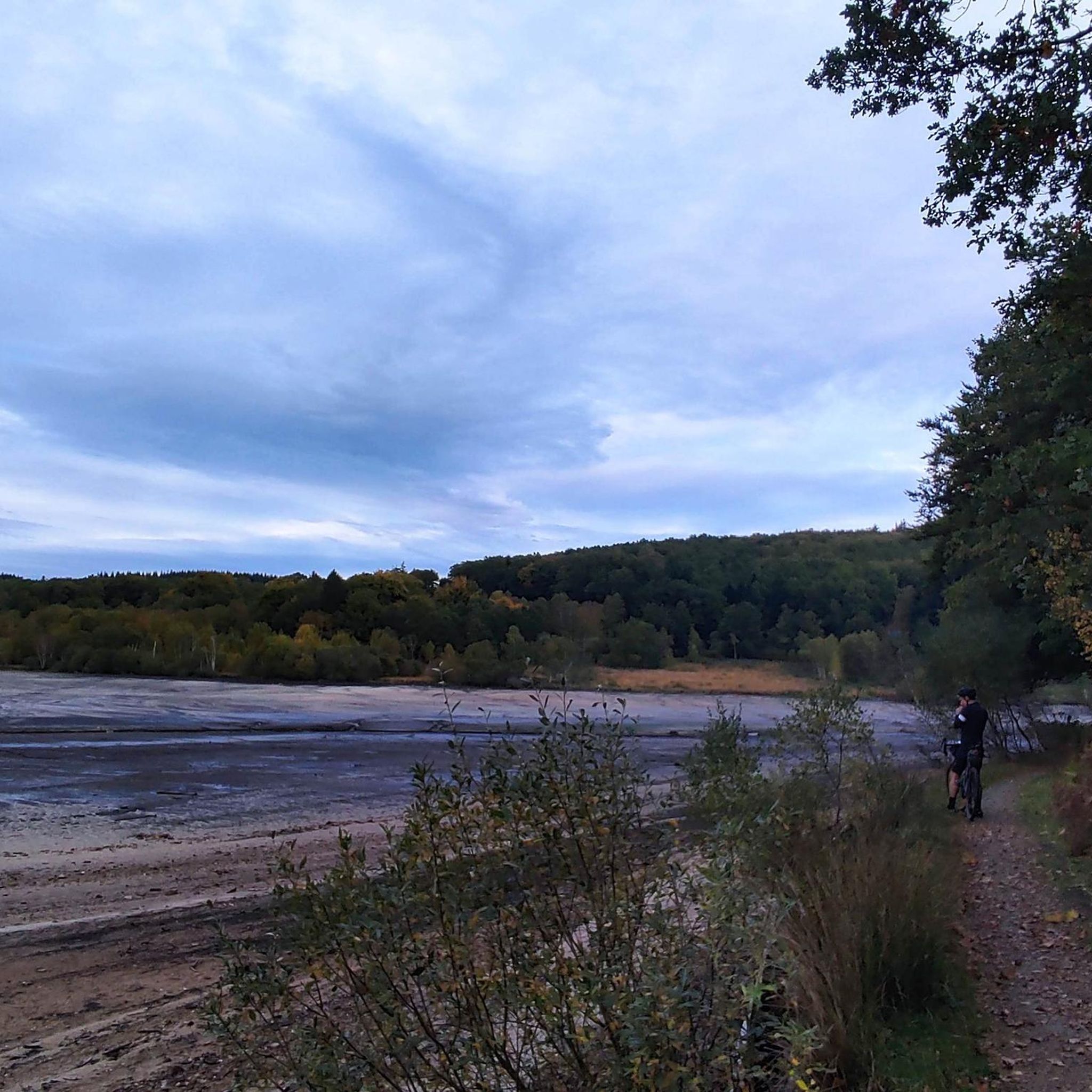
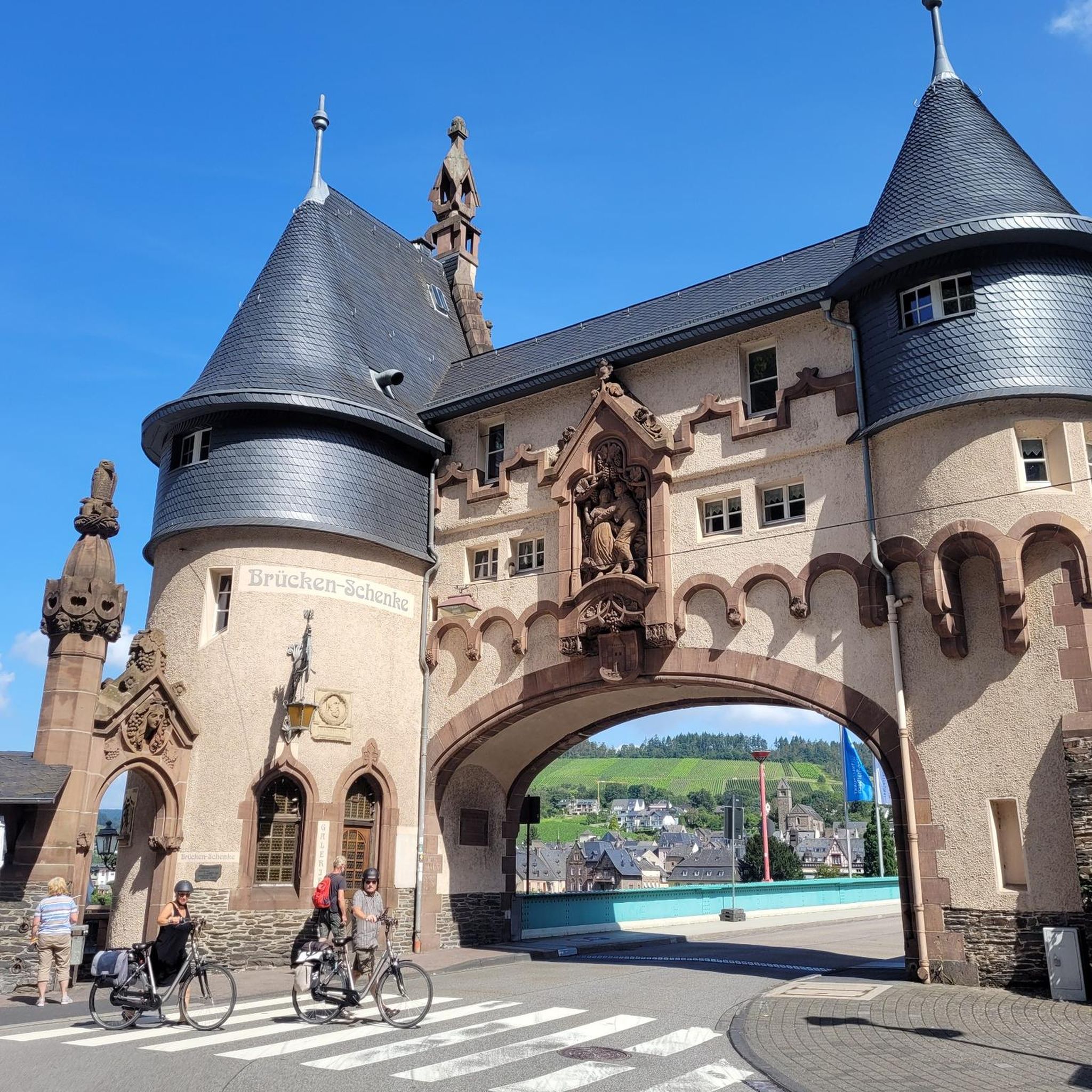
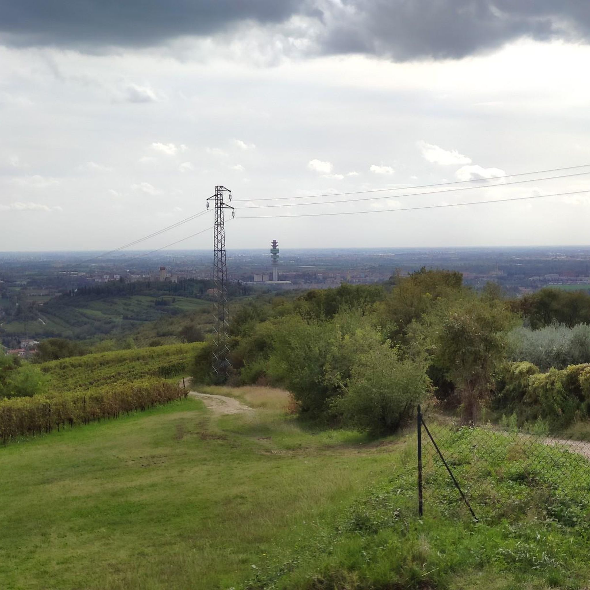

Tips from the Community

Flanked by woods and meadows, this valley and its series of waterfalls are a pleasant stop on your walk.
2
0
Frequently Asked Questions
How many hiking trails are available around Chavanat?
There are over 30 hiking trails around Chavanat, offering a variety of experiences. These include 12 easy routes and 18 moderate options, ensuring there's something for different fitness levels.
What kind of landscapes can I expect to see while hiking in Chavanat?
Chavanat offers a diverse natural landscape characterized by a glorious sprawl of forests and fields, cut through by rivers and dotted with lakes. You'll traverse varied terrain including meadows, woods, and undergrowth, with trails often crossing footbridges and winding through river gorges. The region's altitude ranges from approximately 471 to 647 meters, providing varied topographical experiences.
Are there any waterfalls I can visit on a hike in Chavanat?
Yes, the region is home to impressive waterfalls. The most prominent is the Poirier Waterfall, where the Thaurion river transforms into a bubbling cascade over large granite boulders. You can experience this on the Poirier Waterfall Loop. Additionally, the Augerolles Waterfalls are another natural attraction nearby.
Are there any lakes or rivers to explore on the hiking trails?
Absolutely. The Thaurion River is a prominent feature, with many trails crossing it via footbridges and winding through its gorges. You can also hike around the Étang du Rigoulet, which offers varied scenery. Nearby, Lake Lavaud Gelade provides another beautiful natural setting for exploration.
What do other hikers say about the trails in Chavanat?
The hiking routes in Chavanat are highly rated by the komoot community, with an average score of 4.7 stars from over 90 reviews. Hikers often praise the varied terrain, the natural beauty of the forests and rivers, and the well-maintained paths that lead to features like the Poirier Waterfall.
Are the hiking trails in Chavanat suitable for families with children?
Yes, Chavanat offers several easy walks that are suitable for families. For example, the Bridge loop from Vallière is an easier option, covering 3.6 km with a moderate elevation gain, making it manageable for most families.
Can I bring my dog on the hiking trails around Chavanat?
Many trails in the Chavanat area are generally dog-friendly, allowing you to enjoy the natural surroundings with your canine companion. However, it's always recommended to keep your dog on a leash, especially in areas with livestock or protected wildlife, and to check for any specific local regulations at trailheads.
Are there circular hiking routes available in Chavanat?
Yes, many of the hiking routes in Chavanat are designed as circular loops, allowing you to start and end at the same point without retracing your steps. Examples include the Poirier Waterfall Loop and the Étang du Rigoulet loop from La Chaise.
What are the typical distances and elevation gains for hikes in Chavanat?
Hikes in Chavanat vary in length and elevation. Easy routes like the Bridge loop from Vallière are around 3.6 km with about 70 meters of elevation gain. Moderate trails, such as the Poirier Waterfall Loop, typically range from 8 to 10 km with elevation gains between 130 and 160 meters.
How long do the moderate hikes around Chavanat typically take?
Moderate hikes in Chavanat generally take between 2 to 3 hours to complete. For instance, the Poirier Waterfall Loop, which is 8.5 km, takes approximately 2 hours and 21 minutes, while the 10.3 km Étang du Rigoulet loop from La Chaise typically takes around 2 hours and 49 minutes.
Is parking available at the trailheads in Chavanat?
Yes, parking is generally available at or near the starting points of the main hiking trails in Chavanat. While specific parking details can vary by trailhead, you'll typically find designated areas for vehicles, especially for popular routes like those leading to the Poirier Waterfall or around the Étang du Rigoulet.
What is the best time of year to go hiking in Chavanat?
Chavanat offers beautiful hiking opportunities throughout much of the year. The region's diverse landscapes, with forests, fields, and rivers, are particularly appealing in spring and autumn when the foliage is vibrant. Even in cooler months, trails around features like Lake Vassivière (nearby) are enjoyable, suggesting the area is suitable for hiking across multiple seasons.
Most popular attractions around Chavanat

Get inspired with the komoot mobile app


Explore more
Browse the best Hikes in other regions.
