The best road cycling routes around La Chapelle-Taillefert
4.3
(29)
1,561
riders
404
rides
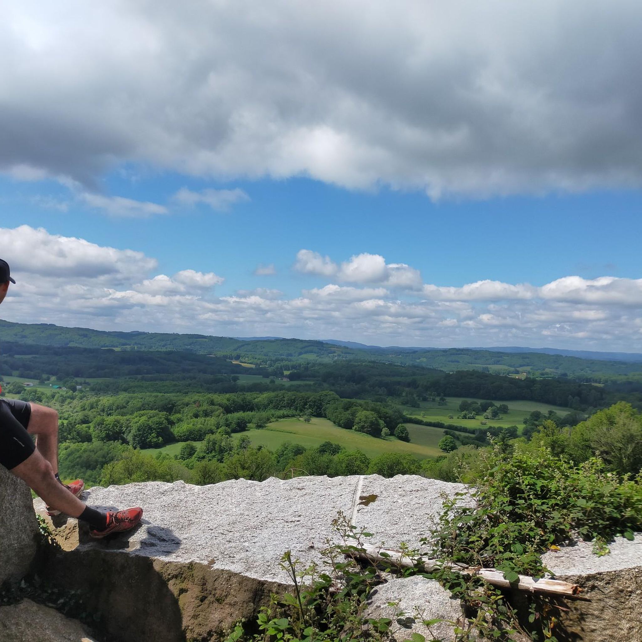
Road cycling routes around La Chapelle-Taillefert traverse the rolling terrain of the Creuse department in central France, situated within the Gartempe river valley. The landscape features a mix of farming and forestry, providing varied scenery for cyclists. Roads in this region are characterized by elevation changes, with gradients ranging from 462 to 690 meters. This area provides a network of generally paved routes suitable for road cycling.
Best road cycling routes around La Chapelle-Taillefert
- The most popular road cycling route…
Last updated: May 20, 2026
13
riders
21.7km
01:12
360m
360m
Moderate road ride. Good fitness required. Mostly well-paved surfaces and easy to ride.
8
riders
35.8km
01:48
540m
540m
Moderate road ride. Good fitness required. Some segments of this route may be unpaved and difficult to ride.

Sign up for free
11
riders
50.5km
02:22
630m
630m
Moderate road ride. Good fitness required. Mostly well-paved surfaces and easy to ride.
4.3
(3)
26
riders
33.1km
01:35
410m
410m
Moderate road ride. Good fitness required. Mostly well-paved surfaces and easy to ride.
6
riders
43.3km
02:07
610m
610m
Moderate road ride. Good fitness required. Mostly well-paved surfaces and easy to ride.
Get access to more routes and recommendations from other explorers.
Sign up for free
Already have an account?
Our route recommendations are based on thousands of hikes, rides, and runs completed by other people on komoot.
Start today with a free account
Your next adventure awaits.
Login or Signup


Tips from the Community

First aid station, water point, restaurant
0
0


There is a lovely view of the Taurion Valley from this stone bridge. We can see a mill which contributes to the charm of the place.
0
0
The viaduct was built from 1902 to 1904 and was used for the passage of freight trains (until 1952) and passenger trains (until 1939). 202 meters long and 20 meters high, it is made up of granite stones extracted from the nearby Villegondry quarry.
1
0

A great little pond that allows you to always be on the edge of the water when running around.
3
0

The terminals located at each end of the viaduct are wildly close together. My pedals barely made it through, but there was no chance for our panniers. We had to lift the bikes.
0
0

Church of Saint-Martin de Sardent, from the 13th century. The bell tower is covered with shingles and the southern portal is listed as a Historic Monument.
2
0
Large pond of about 60 hectares, lined with lime trees.
1
0
Frequently Asked Questions
What kind of terrain can I expect when road cycling around La Chapelle-Taillefert?
The region around La Chapelle-Taillefert is characterized by rolling terrain, situated in the valley of the Gartempe river. You'll encounter elevation changes, with altitudes ranging from 462 to 690 meters, providing an engaging challenge for road cyclists. The landscape features a mix of farming and forestry, offering varied and constantly renewed scenery.
How many road cycling routes are available in the La Chapelle-Taillefert area?
There are over 400 road cycling routes available around La Chapelle-Taillefert. These routes cater to various skill levels, from moderate loops to more challenging rides, all generally on paved surfaces.
Are there routes suitable for beginners or those looking for an easier ride?
Yes, while the Creuse department is known for its 'far from flat' roads, there are options for easier rides. For instance, the 'Gartempe valley (local loop 2)' starting from Saint-Victor-en-Marche passes through La Chapelle-Taillefert and is considered an easier route to explore the valley. Overall, 12 easy routes are available in the area.
What natural features or points of interest can I see along the road cycling routes?
Road cycling routes in the area offer views of the Gartempe river valley, extensive forests, and picturesque countryside. You might encounter natural monuments like Les Pierres Civieres, or enjoy views from Puy du Gaudy. The region is also within a reasonable distance of larger lakes like Lac de Vassivière and Lac de Saint-Pardoux, which offer additional scenic beauty.
Are there any challenging road cycling routes for experienced riders?
Absolutely. The Creuse department is known for its varied terrain and elevation changes, offering routes that 'test your calves.' Many routes feature significant elevation gains, such as the Courtille Pond – Courtille drained for maintenance loop from Guéret, which includes over 740 meters of ascent over 56 kilometers. There are 176 difficult routes available for those seeking a greater challenge.
What do other road cyclists enjoy most about cycling in La Chapelle-Taillefert?
The area is highly rated by the komoot community, with an average score of 4.4 stars from over 20 reviews. Cyclists often praise the varied terrain, the scenic beauty of the Gartempe river valley, and the extensive forests that provide a tranquil backdrop for rides. The network of routes offers options for different ability levels, ensuring an engaging experience for many.
Are there any circular road cycling routes starting near La Chapelle-Taillefert?
Yes, many routes in the area are designed as loops. For example, the 'Forêt follies – Pierre La Grosle' is a moderate 14.4 km cycling loop that starts directly from La Chapelle-Taillefert. Other popular loops include Montaigut-le-Blanc Castle – Courtille Pond loop from Guéret and Bénévent-l'Abbaye – Courtille Pond loop from Guéret, both offering scenic circular rides.
Can I find routes that pass by specific landmarks or attractions?
Many routes are designed to showcase the region's highlights. For instance, the Montaigut-le-Blanc Castle – Courtille Pond loop from Guéret passes by notable points of interest. You can also explore routes that offer views of Courtille Pond or take you through areas like the Wolves of Chabrières forest.
What is the best time of year for road cycling in La Chapelle-Taillefert?
The region's constantly renewed countryside scenery makes it enjoyable throughout the warmer months. Spring and autumn generally offer pleasant temperatures and vibrant landscapes, ideal for road cycling. Summers are also suitable, though it's always advisable to check local weather forecasts.
Are there options for longer, multi-day road cycling tours?
La Chapelle-Taillefert's proximity to the larger 'Tour de Creuse' cycling route means cyclists can access extensive exploration of the department. The Tour de Creuse is a 327 km circuit largely on low-traffic secondary roads, allowing for multi-day adventures to discover the region's natural and cultural heritage. More information can be found on France Vélo Tourisme.
Where can I find parking for road cycling routes in the area?
Many routes, particularly those starting from larger towns like Guéret (just 8 km north of La Chapelle-Taillefert), offer accessible starting points with parking. For example, the loops around Guéret, such as the Courtille drained for maintenance – Courtille Pond loop from Guéret, typically have convenient access for cyclists arriving by car.
Most popular routes around La Chapelle-Taillefert
Most popular attractions around La Chapelle-Taillefert

Get inspired with the komoot mobile app


Explore more
Browse the best Road cycling routes in other regions.
