The best running trails around Lizières
3.7
(7)
502
runners
122
runs
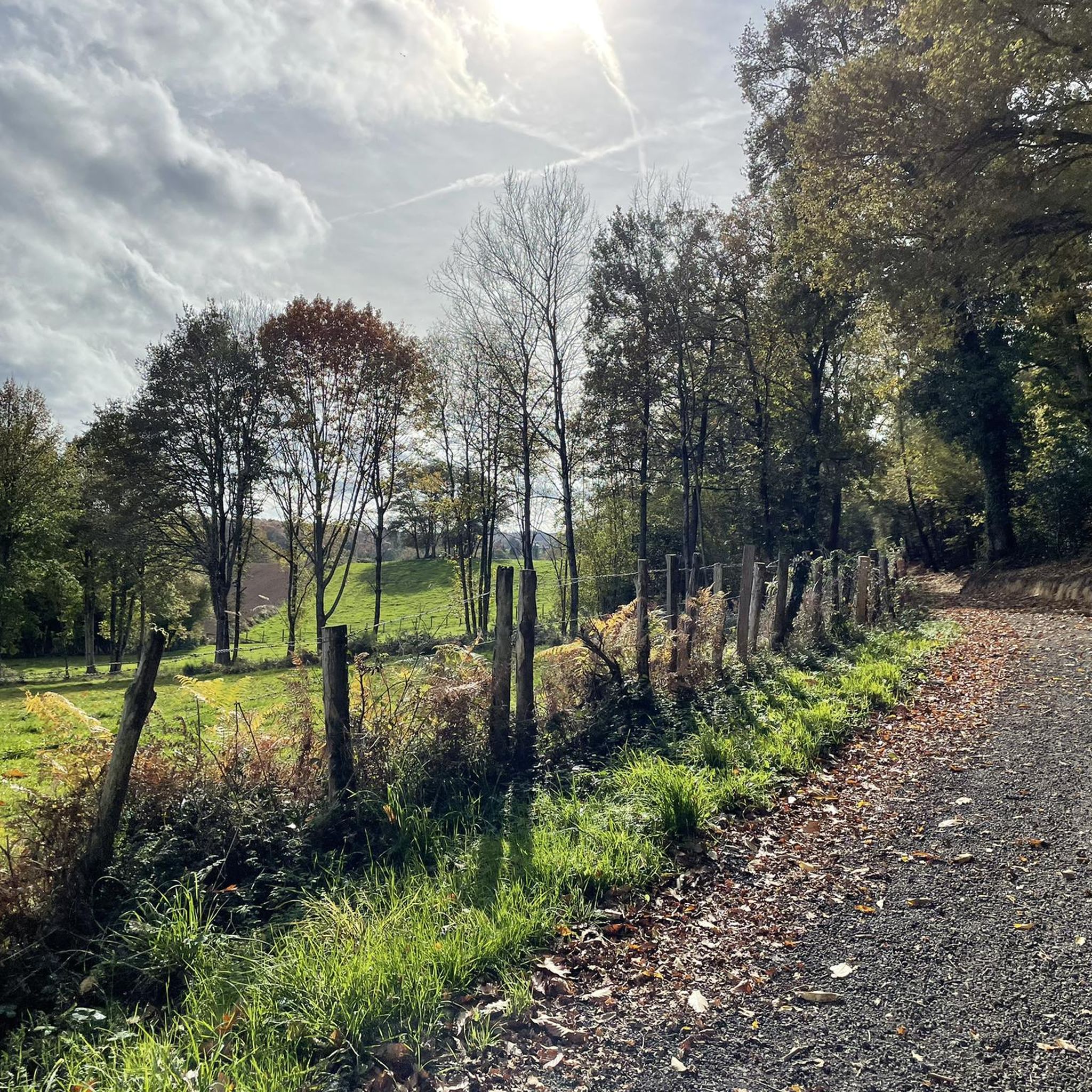
Jogging around Lizières offers diverse routes through the picturesque Creuse department. The region features a varied landscape with panoramic views, including distant Monts d'Auvergne, and is crossed by the Gartempe River, rich in private and public ponds. Terrain ranges from hilly agricultural land to extensive forests and karst landscapes, providing varied running experiences. This environment supports a wide array of outdoor activities, making it well-suited for those seeking active pursuits.
Best jogging routes around Lizières
- The most popular jogging route is The Tour Bridiers - running loop, a 3.2 miles (5.1 km) trail that takes 35 minutes to complete. This route offers a moderate running experience through the local countryside.
- Another top favourite among local runners is Heart of the trail loop from Le Quéroy, a moderate 8.8 miles (14.2 km) path. This route winds through hilly, agricultural terrain with sections of forest.
- Local runners also love the Running loop from La Souterraine, a 4.1 miles (6.6 km) trail leading through varied landscapes near the town, often completed in about 43 minutes.
- Jogging around Lizières is defined by panoramic views, tranquil riverbanks, and diverse hilly and forested terrain. The network offers options for different ability levels, from gentle runs to more challenging trail experiences.
- The routes in Lizières are highly rated by the komoot community with an average score of 3.7 stars from more than 5 reviews. More than 500 runners have used komoot to explore Lizières's varied terrain.
Last updated: June 27, 2026
2.0
(1)
3
runners
5.09km
00:35
40m
40m
Moderate run. Good fitness required. Mostly paved surfaces. Suitable for all skill levels.
3.0
(1)
23
runners
11.2km
01:17
110m
110m
Moderate run. Good fitness required. Mostly paved surfaces. Suitable for all skill levels.

Sign up for free
22
runners
6.63km
00:43
50m
50m
Moderate run. Good fitness required. Mostly paved surfaces. Suitable for all skill levels.
8
runners
6.62km
00:44
50m
50m
Moderate run. Good fitness required. Mostly paved surfaces. Suitable for all skill levels.
4
runners
4.96km
00:33
60m
60m
Easy run. Great for any fitness level. Mostly paved surfaces. Suitable for all skill levels.
Get access to more routes and recommendations from other explorers.
Sign up for free
Already have an account?
Our route recommendations are based on thousands of hikes, rides, and runs completed by other people on komoot.
Start today with a free account
Your next adventure awaits.
Login or Signup



Tips from the Community

The Tour de Bridiers is what remains of a medieval castle from the 12th–13th centuries. What you see now is mainly the enormous round keep—and it's not subtle. What makes it cool: That tower is over 30 meters high. That's seriously impressive when you stand next to it. It stands slightly apart from the landscape, giving it an almost cinematic feel. The castle was part of a major trade route between Limoges and Berry. So this wasn't a romantic fairytale castle, but a pure display of power. In the summer, a historical evening show is held here with lights, projections, and knights. Then the ruins literally come back to life. What almost no one knows: The name "Bridiers" probably comes from "bride" (rein). The castle was intended to keep the region in check.
0
0

Great. Creuse mountain bike ride suite.
0
0

The Cheix pond is a natural body of water popular for fishing and relaxation. Also nearby are the remains of Bridiers, historic ruins that offer a glimpse into the region's medieval past.
0
0

In the 12th century, a tower was built on this site. But not the one you see today, it was built in the 13th and 14th centuries. What happened to the first tower? According to a written chronicle dating from 1202, it collapsed!
2
0
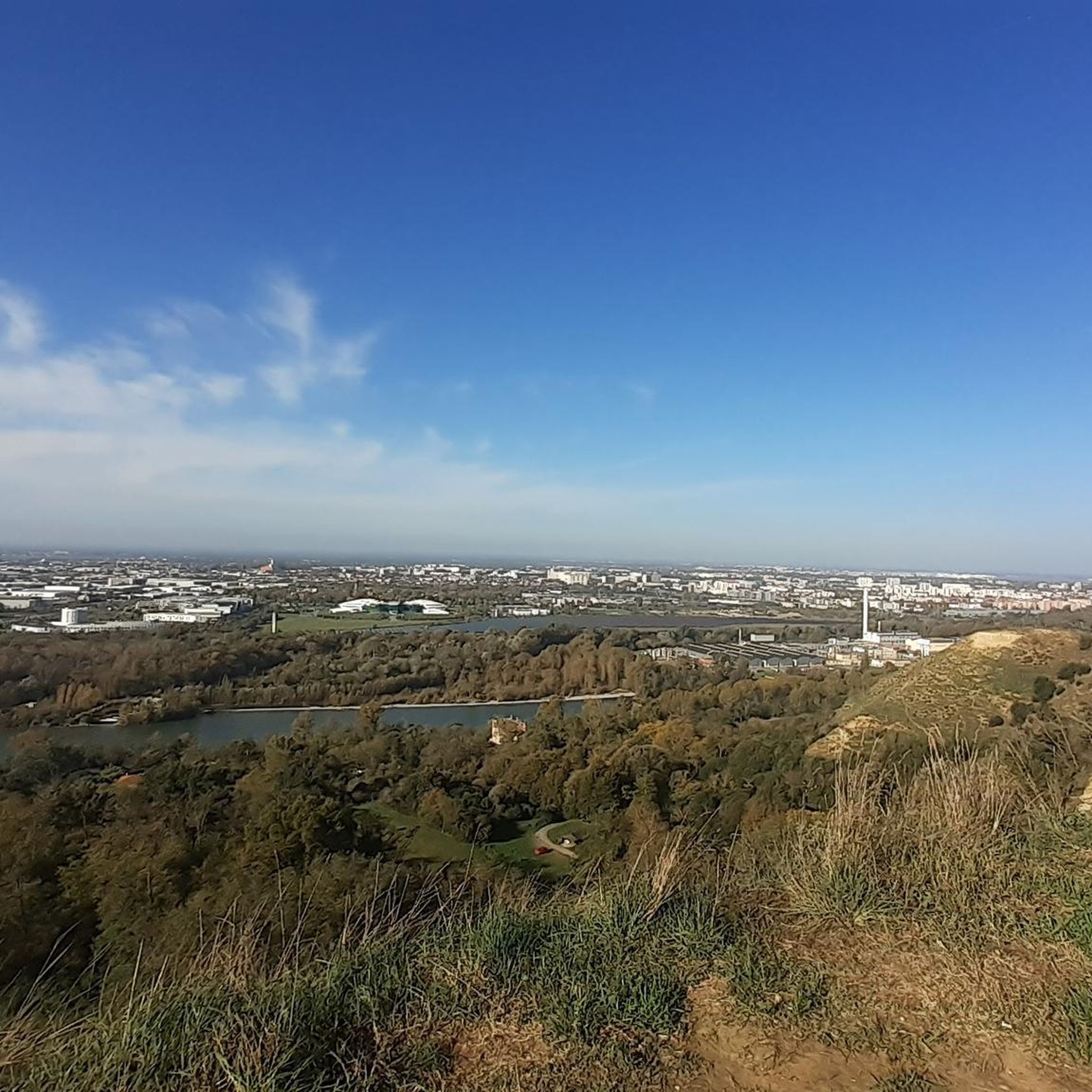
Here you will find one of the many observation points that will allow you to enjoy the view of the lake.
2
0


Very nice path that starts from downtown La Souterraine to pass the Etang du Cheix and join the remains of Bridiers.
0
0
Frequently Asked Questions
What kind of terrain can I expect on running routes around Lizières?
The Lizières area offers a diverse landscape for running. You'll find routes through hilly, agricultural land, extensive forests, and even karst landscapes. Many paths follow tranquil riverbanks, such as the Gartempe River, and circle picturesque ponds. This variety provides options from gentle runs to more challenging trail experiences.
Are there many running routes available in the Lizières region?
Yes, there are plenty of options for runners. Komoot features over 100 running routes around Lizières, catering to various preferences and fitness levels. The wider Creuse department also boasts an extensive network of marked trails, many of which are suitable for jogging.
What are the difficulty levels of the jogging routes near Lizières?
The routes around Lizières offer a good mix of difficulty levels. You'll find approximately 15 easy routes, over 80 moderate routes, and nearly 20 more challenging options. This ensures that both beginners and experienced trail runners can find suitable paths.
Can I find circular running routes in Lizières?
Absolutely. Many of the running routes in the area are designed as loops, allowing you to start and finish at the same point. For example, you could try the The Tour Bridiers - running loop or the Running loop from Le Puy de Premont for a complete circuit.
Are there any specific trail running circuits in the wider Creuse region?
Yes, for those seeking dedicated trail running experiences, areas like the Monts de Guéret, within the Creuse department, feature 10 specific 'Trail' circuits. These are marked and range from shorter distances with moderate elevation to longer, more challenging routes, offering technical paths with rocks, roots, and forest tracks. You can find more information on these dedicated trails at tourisme-creuse.com.
What kind of views can I expect while running in Lizières?
Lizières is known for its stunning panoramic views. Situated 'as if placed on a balcony,' the area offers scenic vistas of the surrounding landscapes, including the distant Monts d'Auvergne. Many routes will treat you to picturesque outlooks over agricultural fields, forests, and tranquil waterways.
Are there any interesting landmarks or attractions to see along the running routes?
Yes, the region is rich in historical and natural points of interest. You might encounter historical sites like the Bridiers Tower or the Cazine Castle. Natural attractions include the beautiful Étang de la Cazine, a picturesque pond perfect for running around. Nearby towns also offer sights like Bénévent-l'Abbaye with its abbey.
What do other runners enjoy most about jogging in Lizières?
The running routes around Lizières are highly rated by the komoot community, with an average score of 3.7 stars from over 5 reviews. Runners often praise the varied terrain, from tranquil riverbanks to diverse hilly and forested paths, and the beautiful panoramic views that make each run a scenic experience.
Are there any easy running routes suitable for beginners or families with children?
Yes, Lizières offers several easy running routes perfect for beginners or families. These routes typically feature less elevation gain and smoother paths. An example of an easy route is the Running loop from Le Puy de Premont, which is just under 5 km.
Is Lizières well-suited for outdoor activities beyond running?
Absolutely. The Creuse department, where Lizières is located, actively promotes a wide array of outdoor activities. Its diverse natural environment, with hills, forests, rivers, and lakes, makes it ideal for hiking, cycling, and mountain biking, in addition to running. The general infrastructure and culture are very supportive of outdoor pursuits.
Where can I find more information about Lizières and its surroundings?
For more general information about Lizières and the surrounding area, including its rural charm and historical sites, you can visit the official tourism website: tourisme-creuse.com.
Most popular attractions around Lizières

Get inspired with the komoot mobile app


Explore more
Browse the best Running Trails & Routes in other regions.
