The best running trails around Naillat
4.0
(8)
462
runners
94
runs
Jogging routes Naillat are set within the Creuse department of Nouvelle-Aquitaine, France, characterized by diverse natural landscapes. The region features tranquil riverine environments, with two rivers traversing the area, and elevated woodlands like the Bois de Chabannes offering varied terrain. Joggers can also find serene paths around water bodies such as the Poulignat Pond and the Grande Cazine Pond. This natural setting provides a range of running experiences from gentle riverside paths to routes with moderate elevation changes.
Best jogging routes around Naillat
- The most popular jogging route is Heart of the trail loop from Le Quéroy, an 8.8 miles (14.2 km) trail that takes 1 hour 36 minutes to complete. This route offers a moderate challenge with varied terrain.
- Another top favourite among local runners is Running loop from Dun-le-Palestel, a moderate 5.2 miles (8.4 km) path. This route provides a scenic run through the local countryside.
- Local runners also love the Vergne Pond loop from Chatenet, a 50.4 miles (81.1 km) trail leading through the area around Vergne Pond, often completed in about 9 hours 18 minutes.
- Jogging around Naillat is defined by peaceful riverine landscapes, panoramic vistas from the Bois de Chabannes, and tranquil pond-side paths. The network offers options for easy, moderate, and difficult running, catering to various ability levels.
- The routes in Naillat are highly rated by the komoot community with an average score of 4.0 stars from over 10 reviews. More than 600 runners have used komoot to explore Naillat's varied terrain.
Last updated: May 15, 2026
3.0
(1)
23
runners
11.0km
01:15
110m
110m
Moderate run. Good fitness required. Mostly paved surfaces. Suitable for all skill levels.
3.0
(1)
8
runners
8.36km
00:53
100m
100m
Moderate run. Good fitness required. Mostly paved surfaces. Suitable for all skill levels.

Sign up for free
6
runners
8.50km
00:53
60m
60m
Moderate run. Good fitness required. Mostly paved surfaces. Suitable for all skill levels.
8
runners
6.62km
00:44
50m
50m
Moderate run. Good fitness required. Mostly paved surfaces. Suitable for all skill levels.
4.0
(1)
4
runners
12.8km
01:29
160m
160m
Moderate run. Good fitness required. Mostly paved surfaces. Suitable for all skill levels.
Get access to more routes and recommendations from other explorers.
Sign up for free
Already have an account?
Our route recommendations are based on thousands of hikes, rides, and runs completed by other people on komoot.
Start today with a free account
Your next adventure awaits.
Login or Signup

Tips from the Community

Great. Creuse mountain bike ride suite.
0
0

This castle, also called Château de la Fôt, was built in 1894 under the aegis of Viscount Paul de Curel, then owner. He called on the architects Louis Chauvet and Alfred Coulomb. Absolutely remarkable, it was transformed into a hotel in the 1980s.
0
0

The Cheix pond is a natural body of water popular for fishing and relaxation. Also nearby are the remains of Bridiers, historic ruins that offer a glimpse into the region's medieval past.
0
0

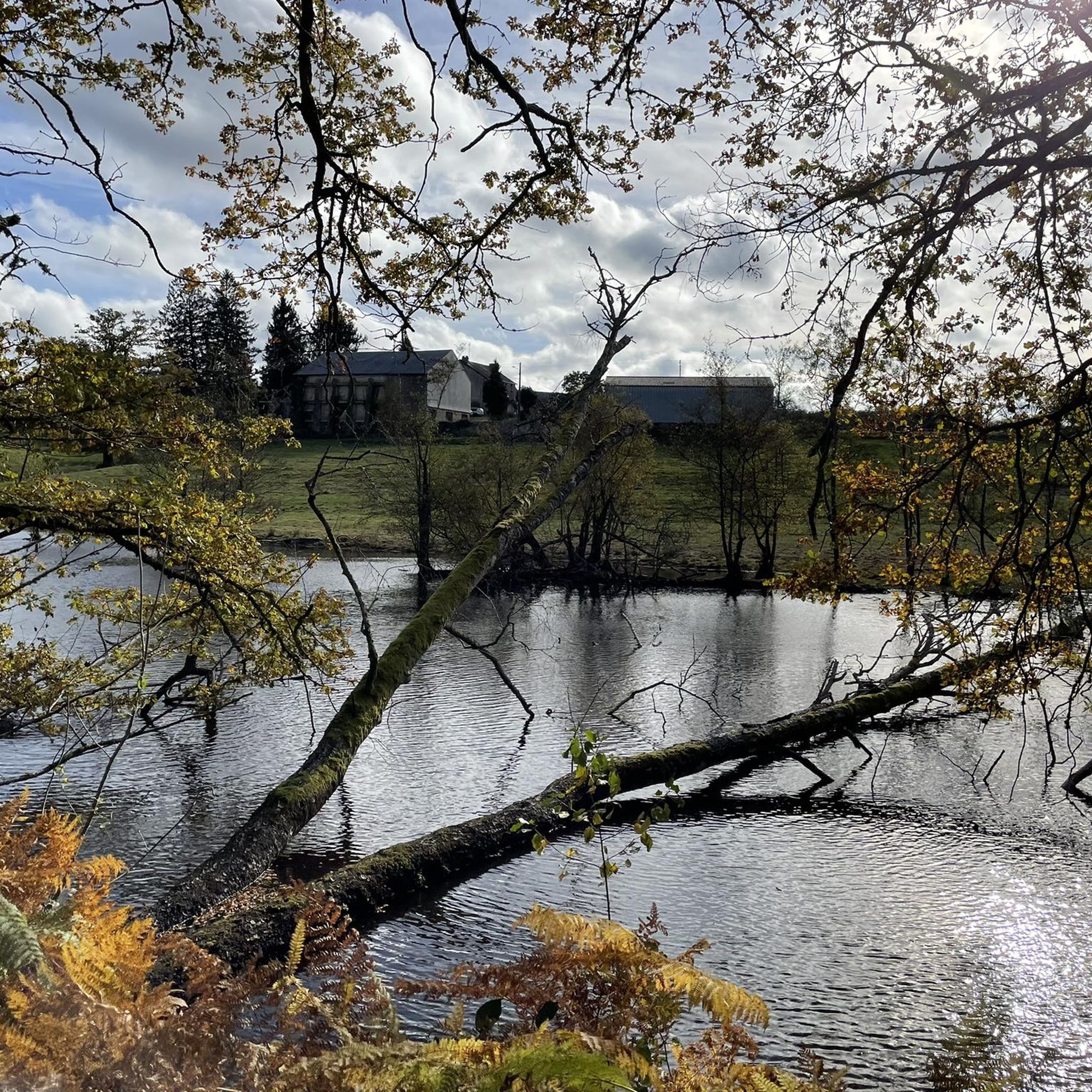
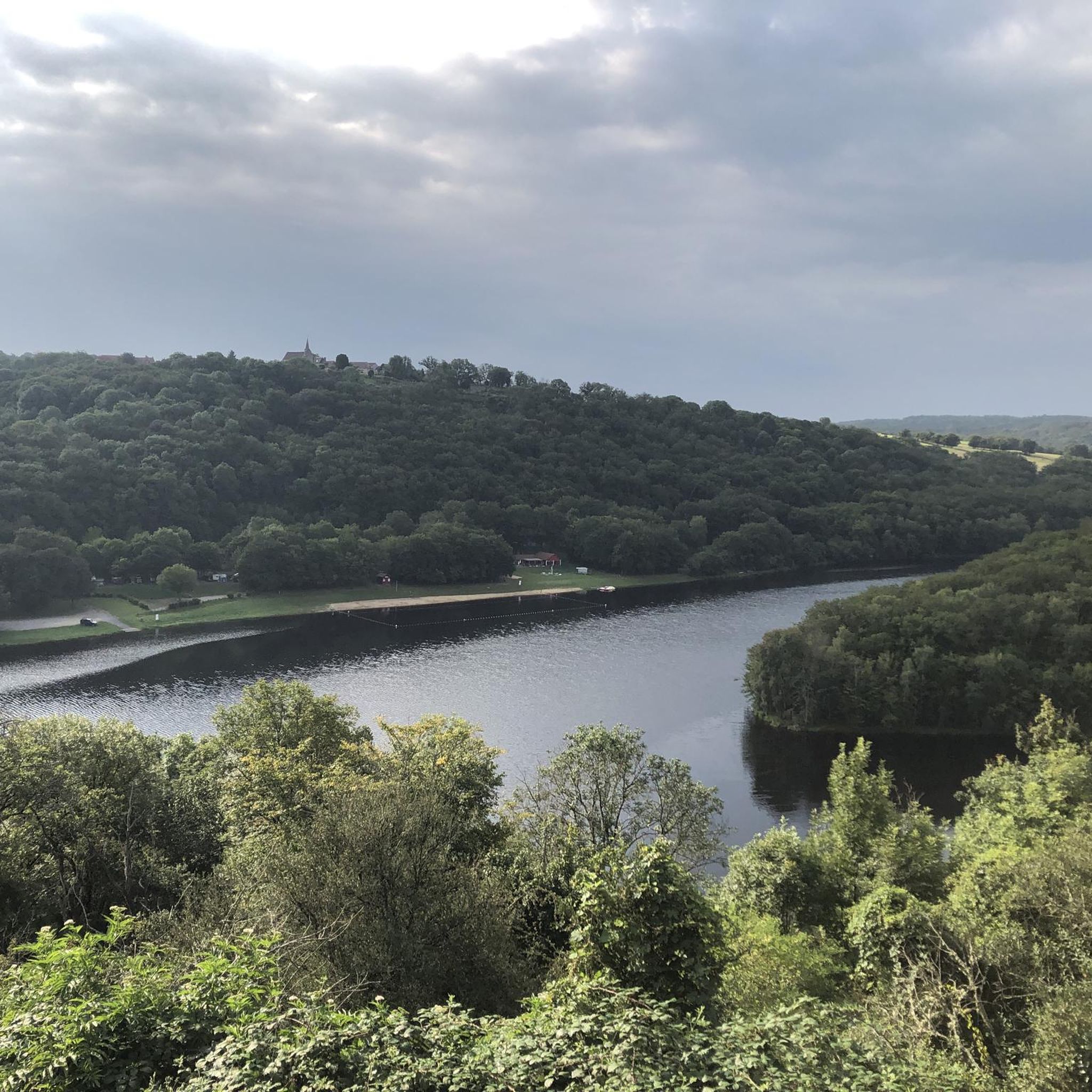
Here you will find one of the many observation points that will allow you to enjoy the view of the lake.
2
0


Very nice path that starts from downtown La Souterraine to pass the Etang du Cheix and join the remains of Bridiers.
0
0
Frequently Asked Questions
How many running routes are available around Naillat?
There are over 90 dedicated running routes around Naillat, offering a wide variety of experiences. These include routes of varying lengths and difficulty levels, ensuring options for every runner.
Are there easy running trails suitable for beginners in Naillat?
Yes, Naillat offers several easy running trails perfect for beginners or those looking for a relaxed jog. You'll find 7 routes specifically classified as easy, often featuring gentle terrain and scenic paths.
What kind of landscapes can I expect to see while jogging in Naillat?
Jogging in Naillat offers diverse natural landscapes. You can expect tranquil riverine environments along the Brézentine River, elevated woodlands like the Bois de Chabannes with panoramic views, and serene paths around water bodies such as the Poulignat Pond and the Grande Cazine Pond. The region is characterized by its picturesque and refreshing natural beauty.
Are there any family-friendly jogging routes in Naillat?
Many of Naillat's running routes are suitable for families, especially the easier and moderate trails that wind through peaceful natural settings. These paths often provide a safe and enjoyable environment for all ages to experience the outdoors together.
Can I bring my dog on the running trails around Naillat?
Generally, dogs are welcome on many of the outdoor trails in Naillat, provided they are kept on a leash and you clean up after them. It's always a good idea to check local signage for any specific restrictions on certain paths or nature reserves.
Are there circular running routes available in Naillat?
Yes, many of the running routes in Naillat are designed as circular loops, allowing you to start and finish at the same point. For example, the Heart of the trail loop from Le Quéroy is a popular circular option, offering a moderate challenge over 8.8 miles.
What are some notable natural attractions or landmarks along the running routes?
While running, you might encounter beautiful natural features like the tranquil Étang de la Cazine or the serene Poulignat Pond. The Bois de Chabannes offers elevated views, and the Brézentine River provides peaceful riverside paths. You can also find historical sites like Bridiers Tower nearby.
When is the best time of year to go running in Naillat?
Naillat is suitable for outdoor activities like running throughout much of the year. Spring and autumn offer pleasant temperatures and vibrant scenery, while summer provides longer daylight hours. Even in winter, the natural environment can be refreshing, though some paths might be muddy. Always check local weather conditions before heading out.
What do other runners enjoy most about jogging in Naillat?
The running routes in Naillat are highly rated by the komoot community, with an average score of 4.0 stars. Reviewers often praise the peaceful riverine landscapes, the panoramic vistas from areas like the Bois de Chabannes, and the tranquil pond-side paths, highlighting the region's natural beauty and varied terrain.
Is there parking available near the running trails in Naillat?
Yes, many trailheads and popular starting points for running routes in and around Naillat offer convenient parking options. Specific parking details can often be found on individual route pages on Komoot, or in nearby villages like Dun-le-Palestel or Noth, which serve as starting points for routes such as the Grande Cazine Pond – Cazine Castle loop from Noth.
Are there any running routes that pass by lakes or ponds?
Absolutely. Naillat's region is dotted with beautiful water bodies. You can enjoy runs around the tranquil Poulignat Pond or the larger Étang de la Cazine. The Grande Cazine Pond – Cazine Castle loop from Noth is a great example of a route that features a significant pond.
How long are the running trails in Naillat?
The running trails in Naillat vary significantly in length. You can find shorter routes, such as the Running loop from Dun-le-Palestel at 5.2 miles (8.4 km), up to much longer and more challenging trails like the Vergne Pond loop from Chatenet, which spans over 50 miles (81.1 km).
What is the terrain like on Naillat's running routes?
The terrain on Naillat's running routes is quite varied, offering different experiences. You'll find gentle riverside paths, more challenging sections through elevated woodlands like the Bois de Chabannes, and paths around ponds. This mix provides options from relatively flat surfaces to routes with moderate elevation changes, catering to different preferences and fitness levels.
Most popular attractions around Naillat

Get inspired with the komoot mobile app


Explore more
Browse the best Running Trails & Routes in other regions.
