The best running trails around Saint-Agnant-Près-Crocq
4.4
(13)
498
runners
4
runs
Jogging routes around Saint-Agnant-Près-Crocq offer diverse terrain within the Creuse department of France, characterized by an elevated position and varied landscapes. The region's topography ranges from 650m to 824m, providing undulating paths suitable for different running experiences. Joggers can explore extensive trail networks, including marked paths through woodlands, bocages, and around numerous ponds. The area also features panoramic views of the Massif des Puys from higher elevations.
Best jogging routes around Saint-Agnant-Près-Crocq
- The most popular jogging route is Étang de…
Last updated: July 1, 2026
4.5
(2)
391
runners
10.3km
01:07
150m
150m
Moderate run. Good fitness required. Mostly paved surfaces. Suitable for all skill levels.
8
runners
15.0km
01:38
190m
190m
Moderate run. Good fitness required. Mostly paved surfaces. Suitable for all skill levels.

Sign up for free
3
runners
Moderate run. Good fitness required. Mostly paved surfaces. Suitable for all skill levels.
5.0
(9)
6
runners
15.2km
01:40
220m
220m
Hard run. Very good fitness required. Mostly paved surfaces. Suitable for all skill levels.
3
runners
8.82km
00:57
160m
160m
Moderate run. Good fitness required. Mostly paved surfaces. Suitable for all skill levels.
Our route recommendations are based on thousands of hikes, rides, and runs completed by other people on komoot.
Start today with a free account
Your next adventure awaits.
Login or Signup


Frequently Asked Questions
How many running routes are available in Saint-Agnant-Près-Crocq?
Komoot currently features 5 dedicated running routes around Saint-Agnant-Près-Crocq. These routes offer a variety of experiences across the region's diverse landscape.
What kind of terrain can I expect on the jogging trails around Saint-Agnant-Près-Crocq?
The terrain is quite varied and undulating, with altitudes ranging from 650m to 824m. You'll find paths winding through extensive woodlands, charming bocages, and alongside numerous tranquil ponds. This diverse landscape provides options for different running experiences, from gentle slopes to more challenging ascents.
Are there any circular running routes in Saint-Agnant-Près-Crocq?
Yes, all the featured running routes in Saint-Agnant-Près-Crocq are circular. For example, you can enjoy the Étang de Grattadour loop from La Courtine or the Étang de la Peyrouse – Étang de Grattadour loop from La Courtine, both offering scenic circuits.
What do other runners enjoy most about jogging in Saint-Agnant-Près-Crocq?
The running routes in Saint-Agnant-Près-Crocq are highly rated by the komoot community, with an average score of 4.6 stars from over 16 reviews. Runners often praise the varied terrain, the peaceful woodlands, and the scenic beauty of the ponds and rural landscapes.
Are there any running routes that offer panoramic views?
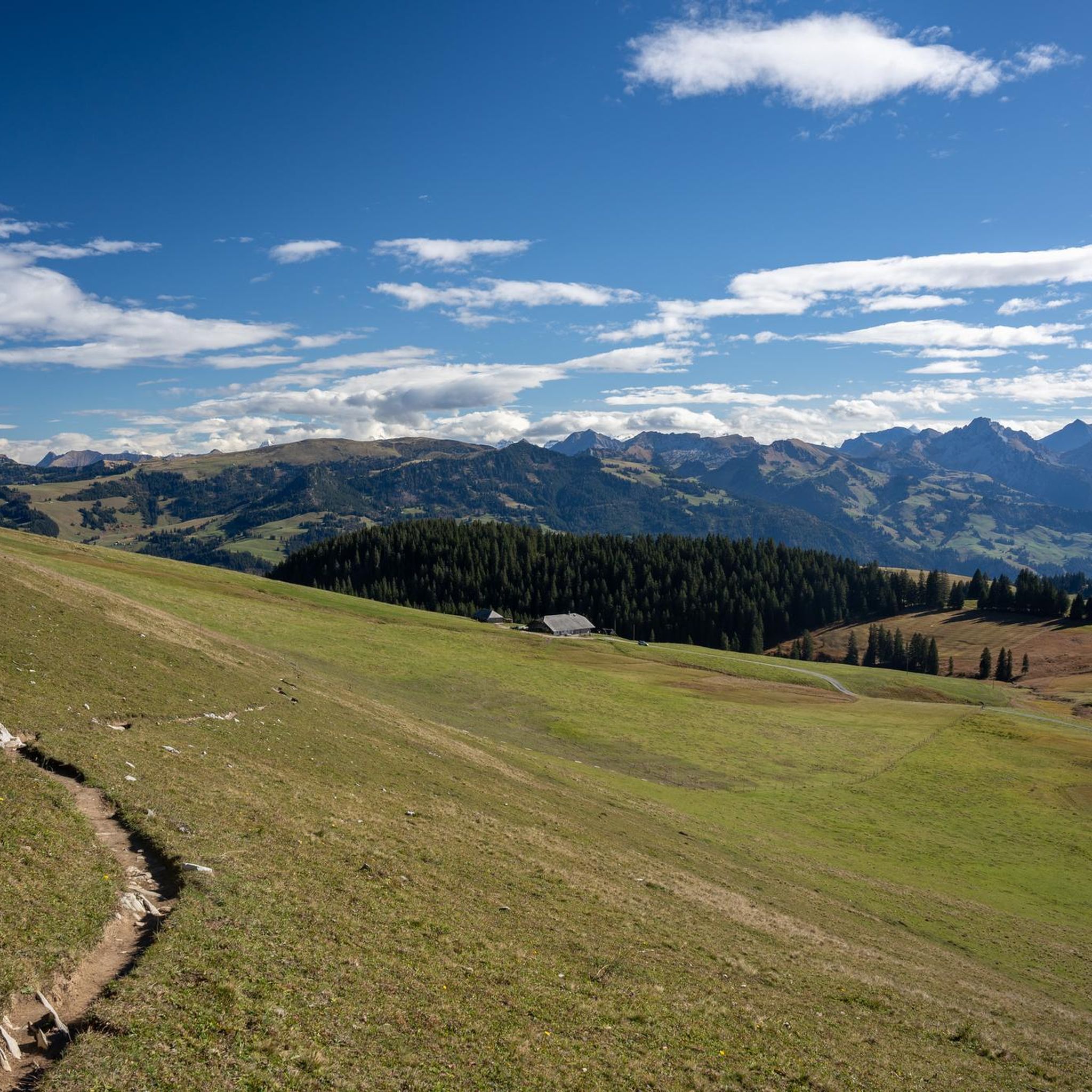
Absolutely. For breathtaking panoramic views, consider routes that ascend towards the highest points of the commune. From the Chapel Saint-Michel, located at 827m, you can experience nearly 360-degree vistas of the Massif des Puys, including the Chaîne des Puys, Monts d'Auvergne, and Mont-Dore massif on clear days. While not explicitly a jogging route, the Puy des Ripaux loop from La Courtine offers significant elevation gain and is likely to provide excellent viewpoints.
Can I find running routes that pass by historical landmarks?
Yes, the region blends natural beauty with historical elements. The Château du Theil circuit, for instance, is a 12 km path that leads past the 15th-century private castle, offering a moderate run through varied landscapes and a glimpse into local heritage.
Are there any running trails suitable for families or those looking for a moderate challenge?
Many of the routes around Saint-Agnant-Près-Crocq are classified as moderate, making them suitable for active families or runners seeking a balanced challenge. The Étang de Grattadour loop from Saint-Denis is a moderate 4.5-mile (7.2 km) path, offering a pleasant experience around the pond.
What are the best times of year to go jogging in Saint-Agnant-Près-Crocq?
The region's woodlands, particularly the 'hêtraies' (beech forests), provide refreshing shaded trails, making spring and summer ideal for comfortable runs. Autumn offers beautiful foliage, while the varied topography ensures engaging runs year-round, weather permitting.
Are there any longer running routes for experienced runners?
For those seeking a longer and more challenging run, the Puy des Ripaux loop from La Courtine is a difficult 9.5-mile (15.3 km) route with significant elevation changes, perfect for experienced runners looking to push their limits.
Can I find running routes that feature lakes or ponds?
Yes, the landscape around Saint-Agnant-Près-Crocq is dotted with numerous ponds ('étangs'), and several running routes incorporate these tranquil waterside paths. The Étang de Grattadour loop from La Courtine - Le Petit Breuil AB is a great option for enjoying the serene pond scenery.
What is the typical elevation gain on running routes in this area?
The routes in Saint-Agnant-Près-Crocq feature undulating terrain. For example, the Étang de la Peyrouse – Étang de Grattadour loop from La Courtine has an elevation gain of approximately 162 meters over its 10.1 km distance, providing a good workout with varied ascents and descents.
Most popular routes around Saint-Agnant-Près-Crocq

Get inspired with the komoot mobile app


Explore more
Browse the best Running Trails & Routes in other regions.
