The best road cycling routes around Vals-Près-Le-Puy
4.2
(84)
3,007
riders
269
rides
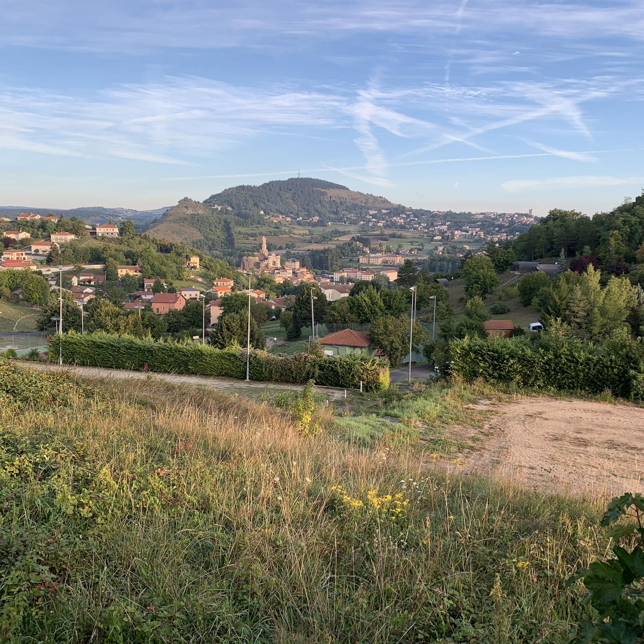
Road cycling around Vals-Près-Le-Puy is characterized by its location within the Dolaizon valley and the broader Massif Central, offering a varied topography. The region features a volcanic landscape with elevations ranging from 632 to 920 meters, providing numerous ascents and descents. This terrain supports a network of road cycling routes that cater to various skill levels, from moderate to challenging.
Best road cycling routes around Vals-Près-Le-Puy
- The most popular road cycling route is Lavoûte-sur-Loire Bridge – Forteresse de Polignac loop…
Last updated: July 1, 2026
4.6
(7)
114
riders
Moderate road ride. Good fitness required. Mostly well-paved surfaces and easy to ride.
4.0
(2)
86
riders
Moderate road ride. Good fitness required. Some segments of this route may be unpaved and difficult to ride.

Sign up for free
4.0
(2)
82
riders
Moderate road ride. Good fitness required. Mostly well-paved surfaces and easy to ride.
5.0
(3)
73
riders
Moderate road ride. Good fitness required. Mostly well-paved surfaces and easy to ride.
55
riders
77.4km
03:55
1,260m
1,260m
Hard road ride. Very good fitness required. Mostly well-paved surfaces and easy to ride.
Get access to more routes and recommendations from other explorers.
Sign up for free
Already have an account?
Our route recommendations are based on thousands of hikes, rides, and runs completed by other people on komoot.
Start today with a free account
Your next adventure awaits.
Login or Signup

Tips from the Community

very beautiful castle overlooking the Loire
0
0

nice place with cafe
0
0

This stone bridge, once an important crossing, is now partly collapsed, but its still visible arches offer a fascinating spectacle. Walking around the ruins, one can admire the tranquil beauty of the river flowing below, surrounded by lush vegetation.
1
0

This lake located at an altitude of over 1200 m has magnificent colours
0
0

Culminating at more than 1,250 meters, Lake Saint-Front is the highest lake in Haute-Loire. This natural lake of volcanic origin is seven meters deep and underneath is 47 meters of mud accumulated over geological time.
0
0

Not cobblestones but stones, we put our foot down
0
0

The Polignac Fortress, perched on a volcanic mound, offers a striking spectacle. Polignac classified among "The most beautiful villages in France".
0
0
Frequently Asked Questions
How many road cycling routes are available around Vals-près-le-Puy?
There are over 260 road cycling routes around Vals-près-le-Puy, offering a wide range of options for different skill levels. This includes 7 easy routes, 107 moderate routes, and 153 difficult routes.
What kind of terrain can I expect when road cycling near Vals-près-le-Puy?
The terrain around Vals-près-le-Puy is diverse, characterized by its location in the Dolaizon valley and the broader Massif Central. You'll encounter a varied topography with elevations ranging from 632 to 920 meters, ensuring plenty of ascents and descents. The region is known for its unique volcanic landscapes, offering picturesque views throughout your ride.
Are there challenging road cycling routes in the Vals-près-le-Puy area?
Yes, Vals-près-le-Puy offers numerous challenging road cycling routes, with 153 routes rated as difficult. These routes often feature significant elevation gains, such as the 74.6 km route, Viaduc de la Recoumène – Old bridge of Brives (ruins) loop from Le Puy-en-Velay, which includes over 1200 meters of climbing. These are ideal for experienced cyclists seeking a strenuous workout.
Are there easier road cycling options for beginners or less experienced riders?
While the region is known for its challenging terrain, there are 7 easy road cycling routes available around Vals-près-le-Puy. These routes typically feature less elevation gain and shorter distances, providing a more relaxed experience for beginners or those looking for a leisurely ride.
What scenic viewpoints or natural features can I see while road cycling?
The region boasts stunning natural beauty. You can cycle through volcanic landscapes and the Dolaizon Valley. Notable natural features include the Beaume Waterfall and the Montjoie Viewpoint, which offers panoramic vistas. The area is also home to unique dry-stone huts known as 'chibottes' in the Chibottes Valley.
Are there any interesting historical landmarks or attractions along the road cycling routes?
Yes, several routes pass by significant historical and cultural sites. For instance, the Lavoûte-sur-Loire Bridge – Forteresse de Polignac loop from Le Puy-en-Velay connects historical sites like the Polignac Fortress. You can also find routes that lead to Le Puy-en-Velay, where you can visit the Cathedral Notre Dame and the striking Saint Michael's Chapel perched on a volcanic rock.
Can I find loop trails for road cycling around Vals-près-le-Puy?
Many road cycling routes in the area are designed as loops, often starting and ending near Le Puy-en-Velay, which borders Vals-près-le-Puy. An example is the Le Monastier-sur-Gazeille – The "Saint Jacques" fresco loop from Le Puy-en-Velay, a moderate 47.6 km path that brings you back to your starting point.
What do other road cyclists enjoy the most about road cycling in Vals-près-le-Puy?
The area is highly rated by the komoot community, with an average score of 4.4 stars from over 90 reviews. Cyclists often praise the varied terrain, the challenging ascents, and the beautiful volcanic landscapes. The network of routes caters to different abilities, making it appealing to a broad range of riders.
Is public transport accessible for reaching road cycling routes in Vals-près-le-Puy?
Vals-près-le-Puy is well-connected to Le Puy-en-Velay, a major hub in the region. While specific public transport options for cyclists directly to trailheads might vary, Le Puy-en-Velay serves as a good starting point for many routes, and local bus services or regional trains might offer connections to nearby towns. It's advisable to check local transport schedules for bike carriage policies.
Are there any long-distance road cycling trails available?
Yes, the region offers longer road cycling routes for those seeking extended rides. For example, the Pont de la Chartreuse – Lavoûte-sur-Loire Bridge loop from Le Puy-en-Velay covers nearly 69 km, providing a substantial distance for endurance cyclists. The varied topography ensures these longer rides remain engaging.
What is the best time of year for road cycling in Vals-près-le-Puy?
The spring, summer, and early autumn months generally offer the most favorable conditions for road cycling in Vals-près-le-Puy. During these seasons, the weather is typically mild to warm, and the landscapes are vibrant. It's always a good idea to check the local forecast before heading out, especially for mountain weather which can be unpredictable.
Most popular routes around Vals-Près-Le-Puy
Most popular attractions around Vals-Près-Le-Puy

Get inspired with the komoot mobile app


Explore more
Browse the best Road cycling routes in other regions.
