The best MTB trails around Le Mayet-De-Montagne
4.3
(45)
326
riders
41
rides
Mountain biking around Le Mayet-De-Montagne, located in the Montagne Bourbonnaise region of France, offers diverse landscapes and challenging terrain. The area features significant elevation changes, with routes traversing forests, valleys, and plateaus over 1,000 meters in altitude. This region provides a blend of wild, preserved environments and panoramic views, catering to various skill levels.
Best mountain bike trails around Le Mayet-De-Montagne
- The most popular mountain bike trail is La Croix du Chat Blanc – Vichy Montagne FFC MTB area,…
Last updated: June 27, 2026
4.0
(1)
13
riders
38.3km
03:43
1,170m
1,170m
Hard mountain bike ride. Very good fitness required. Advanced riding skills necessary.
5.0
(1)
10
riders
44.5km
04:17
1,180m
1,180m
Hard mountain bike ride. Very good fitness required. Suitable for all skill levels.

Sign up for free
6
riders
45.6km
04:20
1,280m
1,280m
Hard mountain bike ride. Very good fitness required. Advanced riding skills necessary.
5.0
(2)
17
riders
26.8km
02:26
710m
710m
Moderate mountain bike ride. Good fitness required. Suitable for all skill levels.
5.0
(2)
16
riders
23.8km
02:12
640m
640m
Moderate mountain bike ride. Good fitness required. Suitable for all skill levels.
Get access to more routes and recommendations from other explorers.
Sign up for free
Already have an account?
Our route recommendations are based on thousands of hikes, rides, and runs completed by other people on komoot.
Start today with a free account
Your next adventure awaits.
Login or Signup
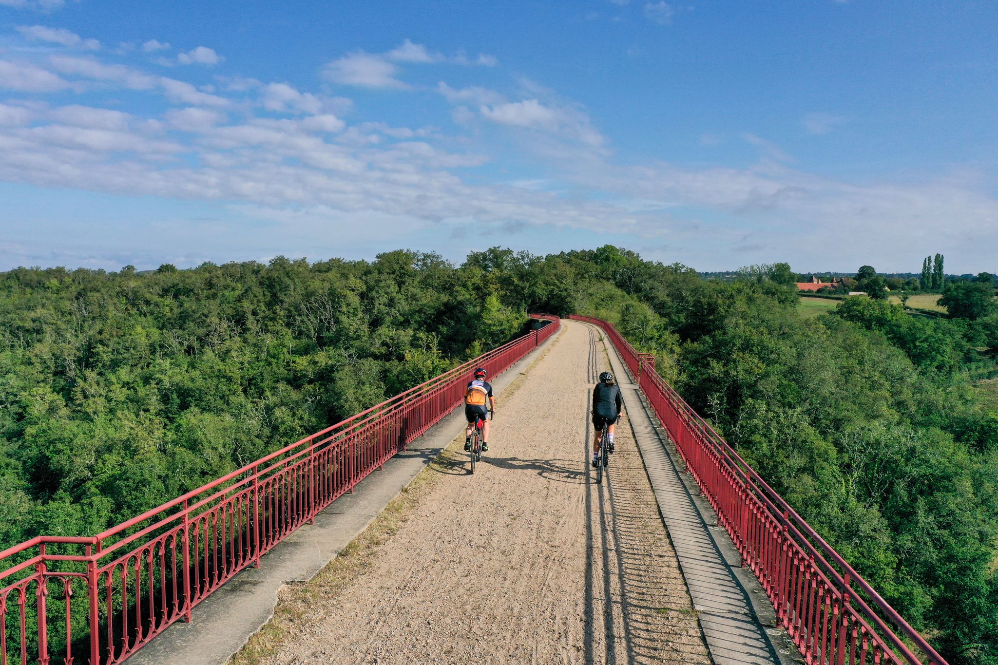
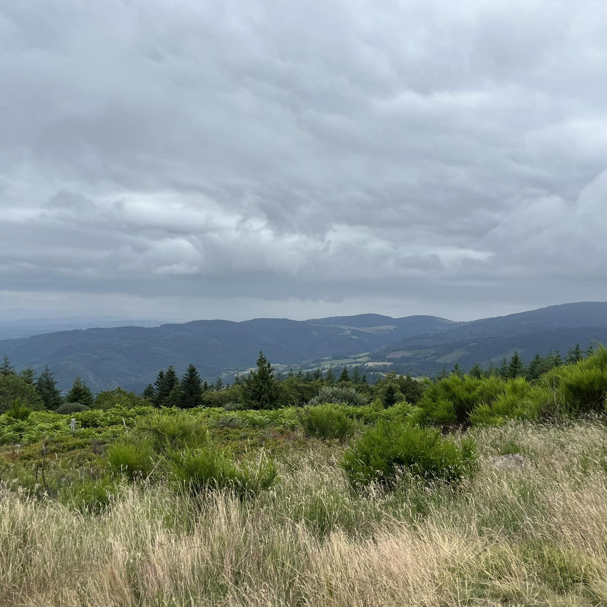
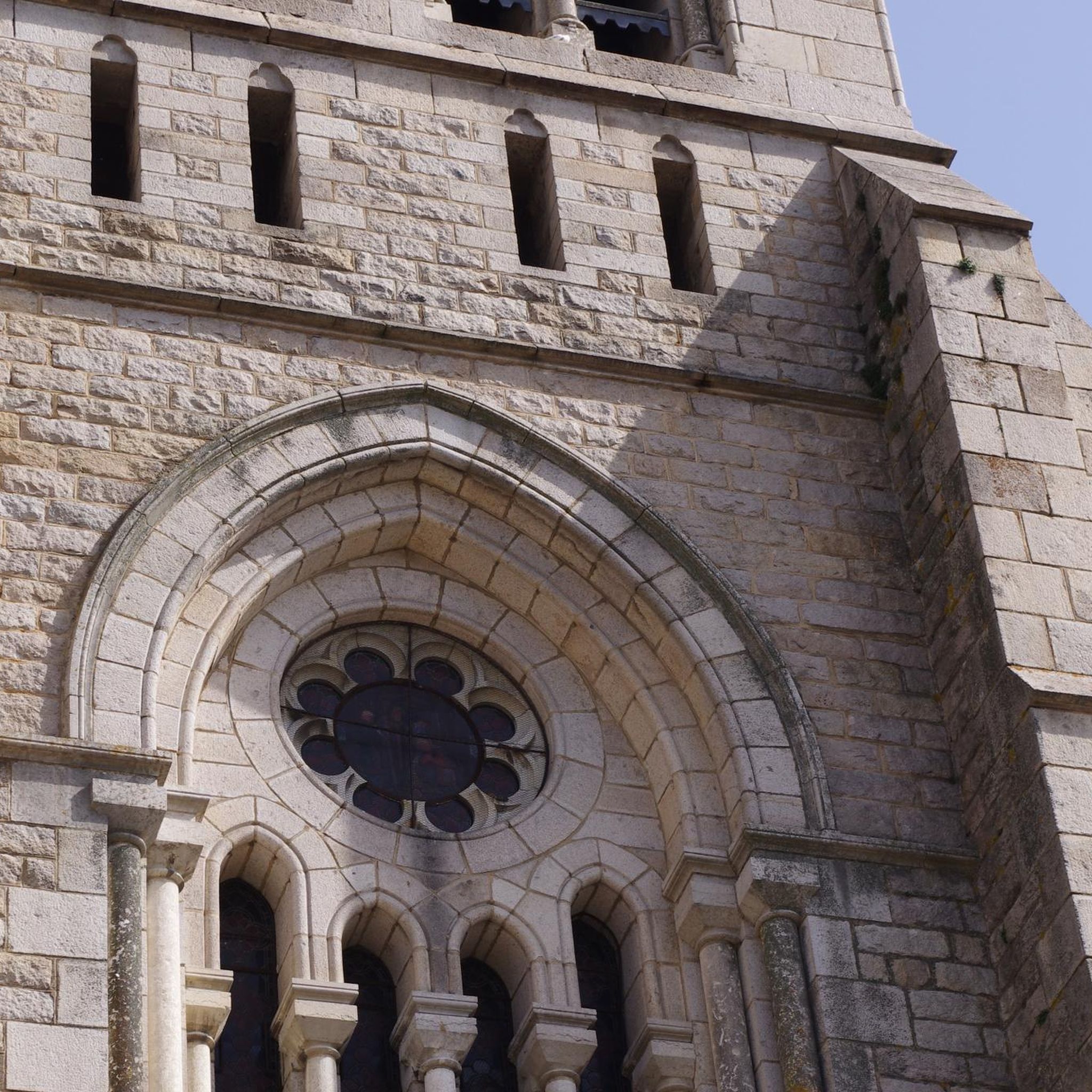
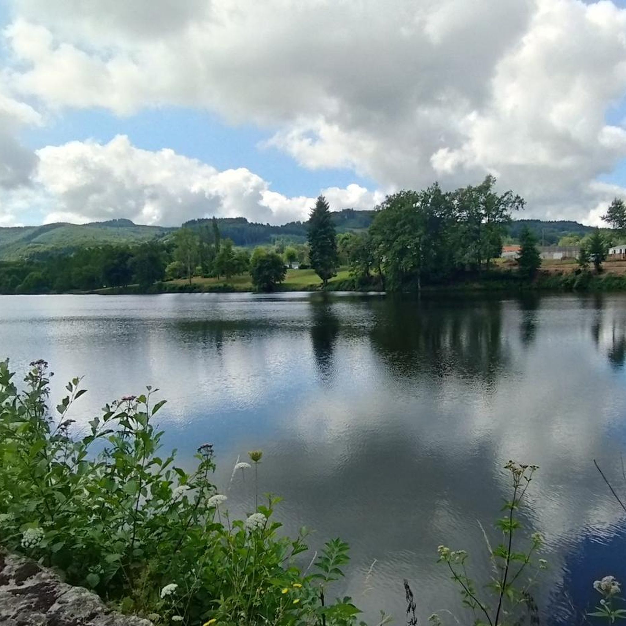
Other adventures around Le Mayet-De-Montagne

Tips from the Community

Chargueraud is a pretty village nestled in the heart of the mountains. There is a shelter for hikers. In the early 19th century, the "Charguerauds" referred to a group of independent and feared travelers from the region.
0
0

Arfeuilles is a charming village dating back to the Middle Ages. It is located in the Allier department, on one of the last foothills of the Madeleine Mountains. Its proximity to nature makes it a popular destination for lovers of the great outdoors.
0
0

This ancient path, near the hamlet of La Bletterie, is lined with majestic trees over 400 years old, whose distinctive shape is the result of human pruning. You'll feel like you're in a fairy tale as you admire the moss-covered trunks, the branches reaching toward the sky, and the lovers' initials engraved on the bark.
0
0

Saint-Clément is a small village on the banks of the Bresbe River. If you're hiking the GR 3, you'll probably be delighted to discover its bistro, Chez Louise, which enjoys an excellent reputation. They serve homemade dishes, and with a smile!
0
0

The Glassworks Plateau is located at an altitude of 1,015 meters. It is a large open plateau in the Magdalen Mountains. The landscape is wild and relatively unspoiled.
0
0
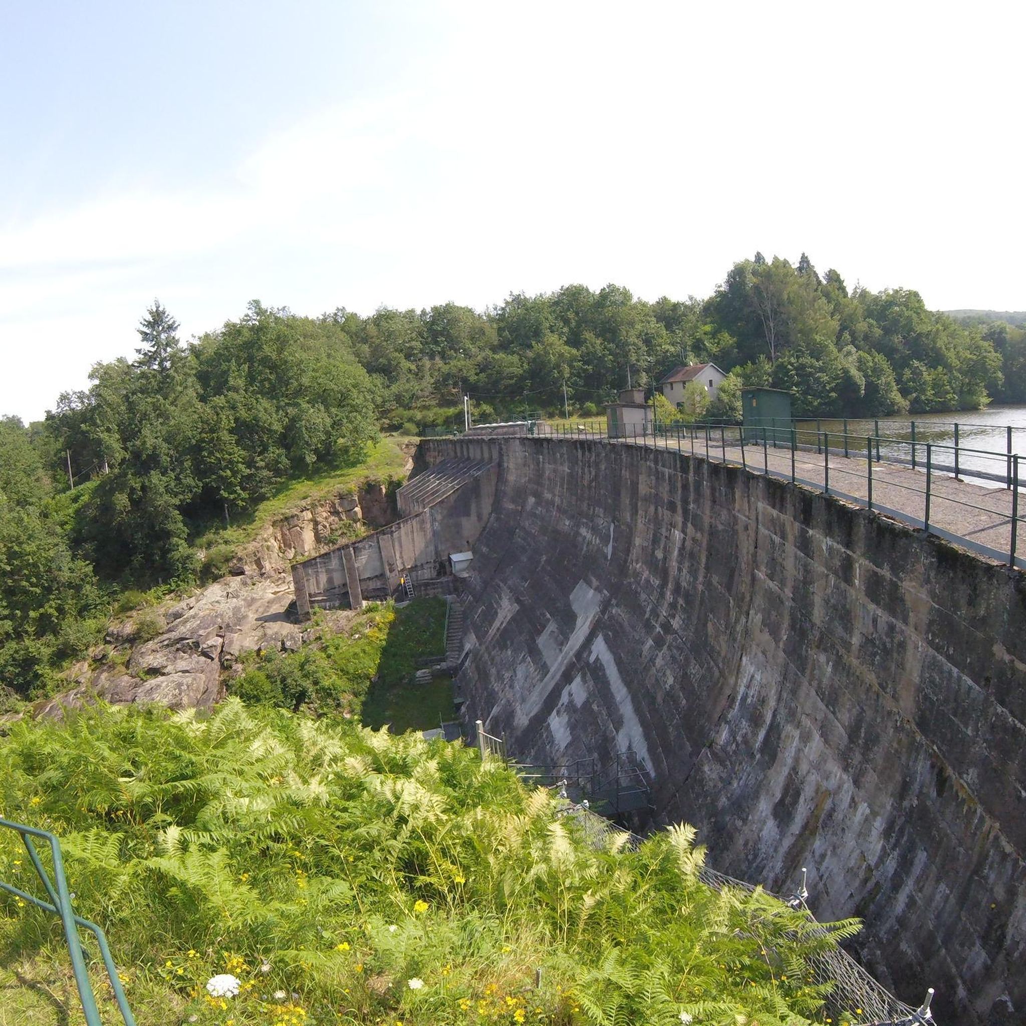
From the GR 3 trail that descends from the Vignaud Woods, you'll enjoy pleasant views of the artificial lake of Saint-Clément. You can walk down to its shore to dip your toes in or enjoy the various activities on offer, such as treetop adventures, pedal boats, and paddleboarding.
0
0
Saint-Clément is a small village on the edge of the Bresbe. If you walk along the GR 3, you will probably be delighted to discover the bistro Chez Louise, which has an excellent reputation. They serve homemade dishes, and with a smile!
0
0
By the path that descends from the Vignaud wood borrowed from the GR 3, you benefit from pleasant views of the artificial lake of Saint-Clément. You can go down to its shore to soak your feet or enjoy the various activities offered such as tree climbing, pedal boating, or paddleboarding.
0
0
Frequently Asked Questions
What types of mountain bike trails can I find around Le Mayet-De-Montagne?
Le Mayet-De-Montagne offers a diverse range of mountain bike trails, from moderate routes suitable for most riders to challenging paths with significant elevation changes. The region features high plateaus, dense forests, and deep valleys, providing varied terrain for all skill levels. There are 44 mountain bike routes available, including 26 moderate and 17 difficult options.
Are there any easy mountain bike trails for beginners or families?
Yes, while many routes are moderate to difficult, there is at least one easy mountain bike trail available around Le Mayet-De-Montagne. These routes are generally shorter with less elevation gain, making them suitable for beginners or families looking for a more relaxed ride.
What are some notable natural attractions or viewpoints accessible by mountain bike?
You can encounter several natural attractions and viewpoints. The Saint-Vincent Rock offers breathtaking views of the surrounding forests and valleys. The Plateau de la Verrerie, over 1,000 meters high, provides panoramic views of the Roannais, the Alps, and the Auvergne after a beautiful ascent. You might also come across the impressive Pisserotte Waterfall, especially striking in spring.
Are there any mountain bike routes that are circular?
Yes, many mountain bike routes in the area are designed as loops. For example, the Lake Saint-Clément – Chargueraud loop from Le Mayet-de-Montagne is a moderate 26.4 km circular route. Another option is the Mountainbike loop from Saint-Clément, which covers 29.4 km with a moderate difficulty.
What is the best time of year to go mountain biking in Le Mayet-De-Montagne?
The region is generally best for mountain biking during spring, summer, and autumn. Spring offers impressive views of the Pisserotte Waterfall, while summer and early autumn provide pleasant weather for exploring the forests and plateaus. Always check local weather conditions before heading out, especially for higher elevations.
What kind of elevation changes can I expect on the mountain bike trails?
Mountain biking around Le Mayet-De-Montagne involves significant elevation changes. Routes can feature up to 1,000 feet of elevation gain for easier rides, while more challenging trails can demand over 3,000 feet of ascent. For instance, the difficult route In the footsteps of the Charguerauds includes over 1,280 meters of climbing.
What do other mountain bikers say about the trails in Le Mayet-De-Montagne?
The mountain bike routes in Le Mayet-De-Montagne are highly rated by the komoot community, with an average score of 4.4 stars from over 40 reviews. Riders often praise the diverse landscapes, the challenging terrain, and the blend of wild, preserved environments with panoramic views.
Are there any historical sites or castles I can visit near the mountain biking routes?
Yes, you can explore historical sites in the vicinity. The ruined medieval fortress of Château de Montgilbert, dating back to the 13th century, offers panoramic views of the Vareille valley and is a fascinating stop. The Saint-Vincent Rock also has historical significance with ruins of an ancient castle.
What is one of the more challenging mountain bike routes in the area?
For experienced riders seeking a challenge, La Croix du Chat Blanc – Vichy Montagne FFC MTB area is a difficult 38.3 km trail with over 1,170 meters of elevation gain, typically taking nearly 4 hours to complete. It offers extensive riding through varied and demanding terrain.
Can I expect to see any unique natural features like bogs or protected areas?
Yes, the Plateau de la Verrerie, a significant feature over 1,000 meters in altitude, is home to a protected Natura 2000 site with a bog dating back to 4600 BC. This area is accessible via a wooden walkway, offering a glimpse into a unique and preserved environment.
Are there any long-distance mountain bike routes for endurance riders?
Yes, the region offers routes suitable for endurance. For example, Le Grand Roc – Vichy Montagne FFC MTB area is a difficult 44.5 km path with over 1,180 meters of ascent, providing an extensive ride through varied terrain for those looking for a longer challenge.
Most popular routes around Le Mayet-De-Montagne
Most popular attractions around Le Mayet-De-Montagne

Get inspired with the komoot mobile app


Explore more
Browse the best MTB trails in other regions.
