The best walks and hikes around Gehnkirchen
4.0
(145)
613
hikers
47
hikes
Hiking around Gehnkirchen offers a network of trails through a landscape characterized by rolling hills, historical sites, and numerous water features such as ponds and springs. The region's terrain includes moderate elevation changes, making it suitable for various hiking abilities. These routes often traverse woodlands and open areas, providing diverse natural scenery.
Best hiking trails around Gehnkirchen
- The most popular hiking route is Charlemagne Spring Loop, a 7.5 miles (12.1 km) trail that takes 3 hours 20 minutes to…
Last updated: August 29, 2026
4.2
(55)
163
hikers
12.1km
03:21
210m
210m
Moderate hike. Good fitness required. Easily-accessible paths. Suitable for all skill levels.
4.5
(13)
66
hikers
7.28km
02:00
120m
120m
Easy hike. Great for any fitness level. Easily-accessible paths. Suitable for all skill levels.

Sign up for free
3.4
(5)
32
hikers
8.28km
02:12
80m
80m
Moderate hike. Good fitness required. Easily-accessible paths. Suitable for all skill levels.
4.3
(12)
25
hikers
11.7km
03:19
260m
260m
Moderate hike. Good fitness required. Easily-accessible paths. Suitable for all skill levels.
3.7
(3)
11
hikers
10.4km
02:55
200m
200m
Moderate hike. Good fitness required. Easily-accessible paths. Suitable for all skill levels.
Get access to more routes and recommendations from other explorers.
Sign up for free
Already have an account?
Our route recommendations are based on thousands of hikes, rides, and runs completed by other people on komoot.
Start today with a free account
Your next adventure awaits.
Login or Signup
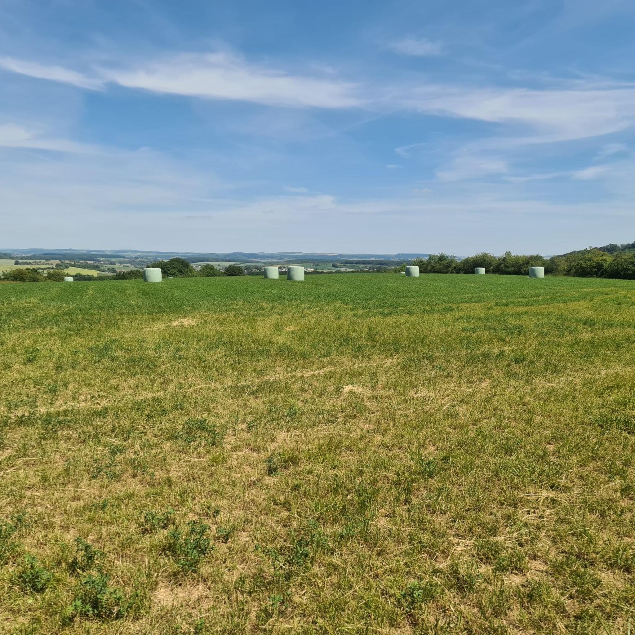
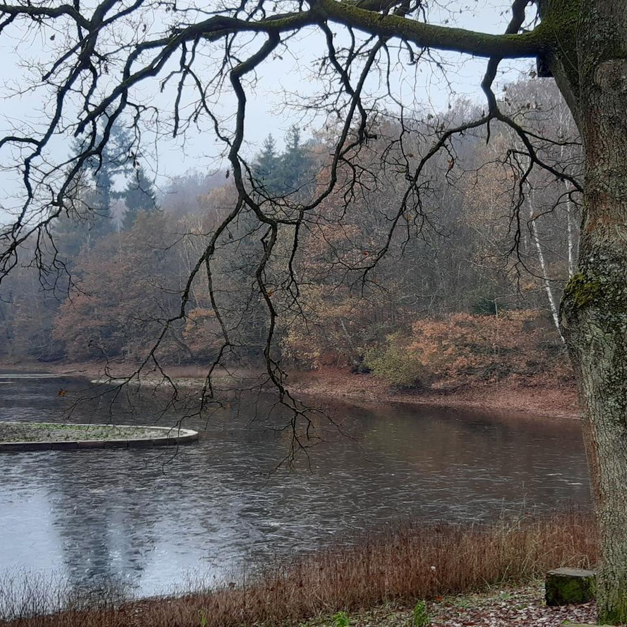


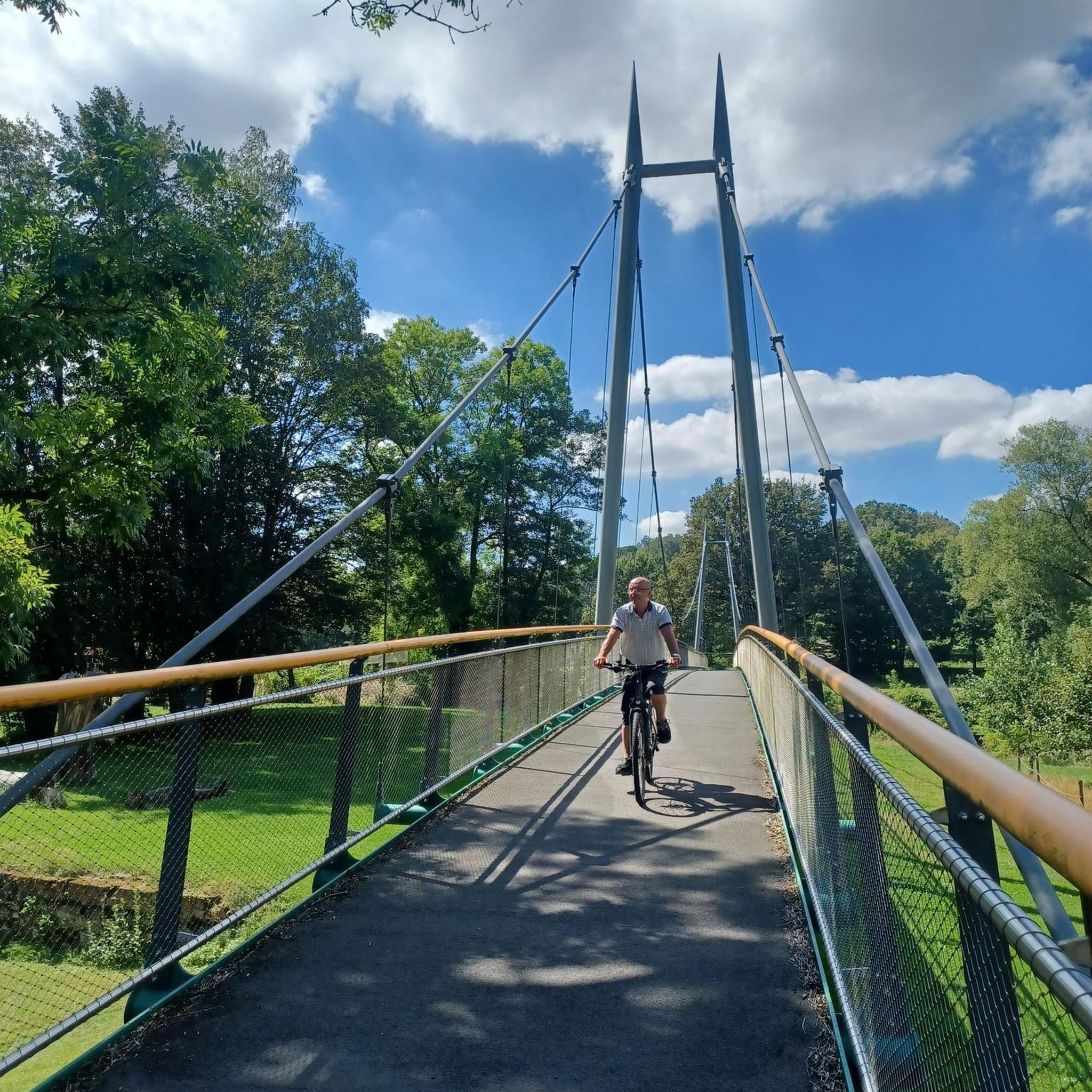
Tips from the Community

very peaceful place in the middle of the forest! to discover in every season
1
0

Beautiful, idyllic abbey with a small, shady rest area 👍
0
0
The peasant chapel (chapel of the humble) is part of the monastery complex and dates from the 17th century.
0
0
The pond was built by the monks from the neighboring monastery.
2
0
Legend has it that the ruler, so thirsty, promised the Virgin to build a chapel if she would quench his thirst. Then his horse pawed the ground and a spring appeared.
1
0
A really impressive ravine surrounded by large trees. The sandstone walls to the left and right of the path offer a bizarre picture of the root system of the trees that grow along the edge.👀👍
2
0
Remains of the Cistercian monastery
2
0

LA SOURCE DE CHARLEMAGNE - Charlemagne This ancient legend, deeply rooted in popular imagination, dates back to the 9th century. century back. The story goes that Charlemagne, who was in the town of Thionville in transit, went hunting in the region with his men and hounds. On a beautiful, hot summer's day, they continued towards Vigy and Saint-Hubert. However, as the hours passed, the heat became so oppressive that even the Emperor could not quench his thirst. Then he called the Virgin Mary in the middle of the forest and promised her that if she would conjure up water, he would have a chapel built for her. Immediately the prayer became a reality. A spring of pure water sprang from the hooves of his horse... Even today, visitors and pilgrims in transit hike to the mythical spring of the Emperor, which still flows in the middle of the forest.
1
0
Frequently Asked Questions
How many hiking trails are available in Gehnkirchen?
Gehnkirchen offers a network of over 40 hiking trails. These routes traverse rolling hills, woodlands, and areas with numerous water features, providing diverse options for various hiking abilities.
What is the typical terrain like for hiking in Gehnkirchen?
The terrain in Gehnkirchen is characterized by rolling hills and moderate elevation changes. Trails often lead through woodlands and open areas, featuring tranquil ponds and historical sites. While there are no difficult routes, the moderate trails provide a good workout.
Are there easy hiking routes suitable for beginners or families in Gehnkirchen?
Yes, Gehnkirchen has 12 easy hiking routes that are perfect for beginners or families looking for a relaxed stroll. These trails allow you to enjoy the natural scenery without significant physical demands.
What kind of natural features or landmarks can I expect to see on the trails?
Hiking trails in Gehnkirchen often lead past historical sites and natural attractions. You can explore the historic Charlemagne Spring, discover the serene Nidange Pond, or visit the Notre-Dame de Rabas Chapel. The region also features the dramatic Saint-Hubert Canyon and the historic Landon-Villers Castle.
Are there any circular walks in Gehnkirchen?
Many of the trails in Gehnkirchen are designed as circular routes, allowing you to start and end at the same point. Popular options include the Charlemagne Spring Loop and the Etang loop from Burtoncourt, which offer varied scenery and historical points of interest.
Can I bring my dog on the hiking trails in Gehnkirchen?
Generally, dogs are welcome on most hiking trails in Gehnkirchen. However, it's always recommended to keep them on a leash, especially in nature reserves or areas with livestock, and to clean up after them. Check local signage for any specific restrictions.
What do other hikers say about the trails in Gehnkirchen?
The hiking trails in Gehnkirchen are highly rated by the komoot community, with an average score of 4.0 stars from over 100 reviews. Hikers often praise the quiet woodlands, the scenic water features, and the well-maintained paths that make for an enjoyable experience.
What is the best time of year to go hiking in Gehnkirchen?
Gehnkirchen offers enjoyable hiking experiences throughout much of the year. Spring brings lush greenery and blooming flora, while autumn showcases vibrant fall colors. Summer is ideal for longer days, and even mild winter days can be pleasant for a crisp walk, especially around the tranquil ponds.
Are there any trails that pass by historical abbey sites?
Yes, the region around Gehnkirchen is known for its historical abbey sites. A notable route is the Monks' Pond – Villers-Bettnach Abbey loop from Saint-Michel, which takes you through historical areas and past significant water features.
Are there any amenities like cafes or pubs near the hiking routes?
While specific amenities vary by route, many trails in Gehnkirchen are located near villages or towns where you can find cafes, pubs, or other facilities. It's advisable to check the specific route details on komoot for information on nearby services before you set out.
What is the longest hiking route available in Gehnkirchen?
Among the popular routes, the Charlemagne Spring Loop is one of the longer options, covering approximately 7.5 miles (12.1 km). This moderate trail offers a good duration for a half-day hike.
Is public transport accessible for reaching hiking trailheads in Gehnkirchen?
Information on public transport access to specific trailheads in Gehnkirchen can vary. It's recommended to check local public transport schedules and routes to determine the best way to reach your desired starting point, as some trails may be more accessible by car.
Most popular routes around Gehnkirchen
Most popular attractions around Gehnkirchen

Get inspired with the komoot mobile app


Explore more
Browse the best Hikes in other regions.
