
The best running trails around Saint-Merd-La-Breuille
4.5
(10)
819
runners
17
runs
Jogging around Saint-Merd-La-Breuille offers diverse natural landscapes within a mid-mountainous region of central France. The area features an extensive network of paths, including rural roads and trails that traverse picturesque areas with stone walls and varied surfaces. Runners can explore dense forests, streams, ponds, and peat bogs, with routes often providing views of the surrounding countryside. This varied terrain caters to different fitness levels, making it suitable for a range of running experiences.
Best jogging routes around Saint-Merd-La-Breuille
- The most…
Last updated: November 1, 2026
6
runners
5.11km
00:33
60m
70m
Moderate run. Good fitness required. Mostly paved surfaces.
8
runners
13.7km
01:35
220m
220m
Moderate run. Good fitness required. Mostly paved surfaces.

3
runners
11.8km
01:16
130m
130m
Moderate run. Good fitness required. Mostly paved surfaces.
5.0
(1)
8
runners
9.55km
01:04
130m
130m
Moderate run. Good fitness required. Mostly paved surfaces.
2
runners
14km
01:36
170m
170m
Moderate run. Good fitness required. Mostly paved surfaces.
Get access to more routes and recommendations from other explorers.
Already have an account?
Our route recommendations are based on thousands of hikes, rides, and runs completed by other people on komoot.
Start today with a free account
Your next adventure awaits.
Frequently Asked Questions
What kind of terrain can I expect on the running routes around Saint-Merd-La-Breuille?
The region offers a diverse range of terrain, characteristic of a 'pays de moyenne montagne' (mid-mountainous region). You'll find an extensive network of paths, including rural roads, trails with stone walls, and varied surfaces. Routes often traverse dense forests, verdant bocage landscapes, streams, ponds, and even peat bogs, providing a varied and engaging running experience.
Are there running routes suitable for beginners in Saint-Merd-La-Breuille?
Yes, while many routes are classified as moderate, the varied terrain and extensive path network mean there are options suitable for different fitness levels. For instance, the Running loop from Eygurande is a 3.2-mile (5.1 km) trail with gentle elevation changes, making it a good starting point for those new to the area.
What do other runners enjoy most about the trails in Saint-Merd-La-Breuille?
The running routes in Saint-Merd-La-Breuille are highly rated by the komoot community, with an average score of 4.5 stars from over 10 reviews. Runners often praise the diverse natural landscapes, the extensive network of well-maintained paths, and the peaceful, authentic nature of the Millevaches Regional Natural Park.
Are there any circular running routes in the area?
Yes, many of the routes around Saint-Merd-La-Breuille are designed as loops, offering convenient circular runs. Examples include the popular Running loop from Eygurande - Merlines, a 5.4-mile (8.7 km) path, and the longer Les Vergnes loop from Eygurande, which is 7.3 miles (11.8 km).
Can I find running routes with scenic views or landmarks?
Absolutely. The region is rich in scenic beauty. The Puy de la Garde, at 805 meters, offers stunning panoramic views of the Puy de Dôme and the Massif du Sancy. The 12 km Hautefeuille Track passes through magnificent trails with dry-stone walls and historical sites like the grounds of the former Château d'Hautefeuille, and villages with unique features like a tumulus or an ancient coat of arms.
Are there longer distance running trails available?
Yes, for those looking for a longer run, there are several options. The Les Vergnes loop from Eygurande is 7.3 miles (11.8 km), and the Running loop from Laroche-près-Feyt extends to 6.4 miles (10.4 km) with significant elevation changes, providing a good challenge for endurance runners.
What is the best time of year to go running in Saint-Merd-La-Breuille?
Spring is particularly recommended as an ideal season to experience the trails, as nature reawakens and the landscapes are vibrant. However, the diverse terrain and extensive path network make the area suitable for running throughout much of the year, with each season offering its own unique beauty.
Are there any running routes that feature water elements like lakes or rivers?
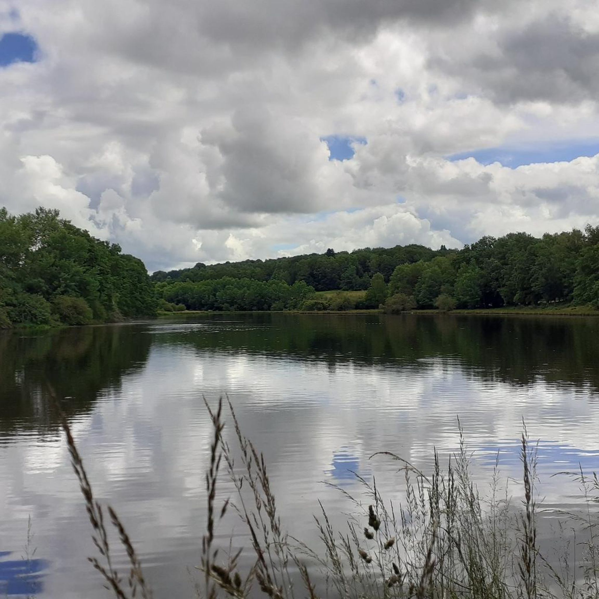
Yes, the region is known for its water features. Trails like the 'Vallée de la Méouzette' wind through streams, ponds, and peat bogs, often crossing picturesque stone bridges. While not directly on the routes listed, larger natural sites such as Lac du Guery, Lac Pavin, and the expansive Lac de Vassivière are within a reasonable distance and offer additional opportunities for lakeside runs.
Can I run with my dog on the trails around Saint-Merd-La-Breuille?
Many natural trails in France, especially within regional natural parks like Millevaches, are generally dog-friendly, provided dogs are kept on a leash to protect wildlife and respect other users. It's always advisable to check specific signage at trailheads for any local restrictions or requirements.
Are there family-friendly running options in Saint-Merd-La-Breuille?
The extensive network of paths and varied terrain includes options that are suitable for families. Shorter, less challenging loops with gentle elevation, such as the Running loop from Eygurande, can be enjoyable for families looking to run together. The natural surroundings also offer plenty of opportunities for exploration and discovery.
What kind of natural landscapes will I encounter while running here?
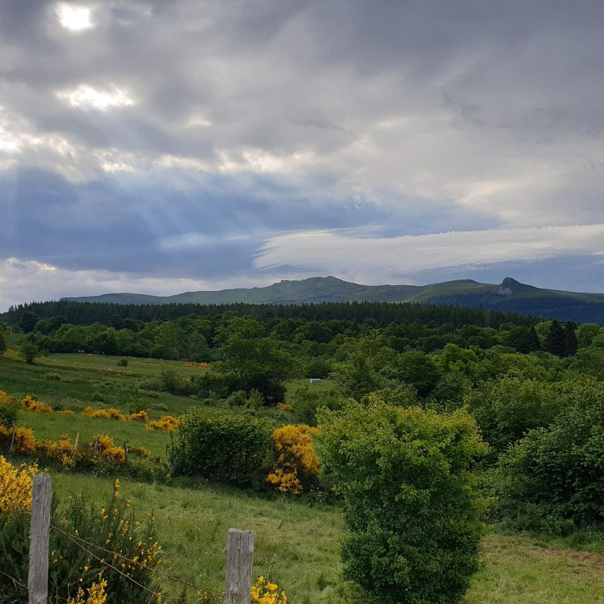
You'll experience a rich variety of natural landscapes, from dense forests and verdant bocage (a landscape of small fields enclosed by hedges and trees) to streams, ponds, and peat bogs. The region is part of the Millevaches Regional Natural Park, ensuring access to preserved wilderness, and many routes offer continuous views of the surrounding volcanic peaks like the Chaîne des Puys.
Are there any running routes that offer views of the Massif du Sancy or Puy-de-Dôme?
Yes, the Puy de la Garde, located within the commune, provides stunning panoramic views that include both the Puy de Dôme and the Massif du Sancy. Additionally, some local trails, like an 11 km hiking trail mentioned in the region research, offer continuous views of these iconic volcanic peaks, making for very rewarding runs.
Most popular routes around Saint-Merd-La-Breuille

Get inspired with the komoot mobile app


Explore more
Browse the best Running Trails & Routes in other regions.
