The best walks and hikes around Saint-Dizier-Leyrenne
4.6
(86)
547
hikers
77
hikes
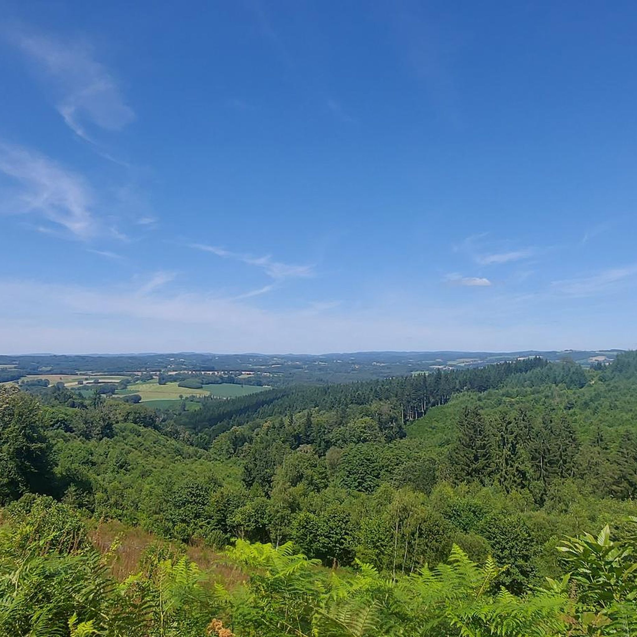
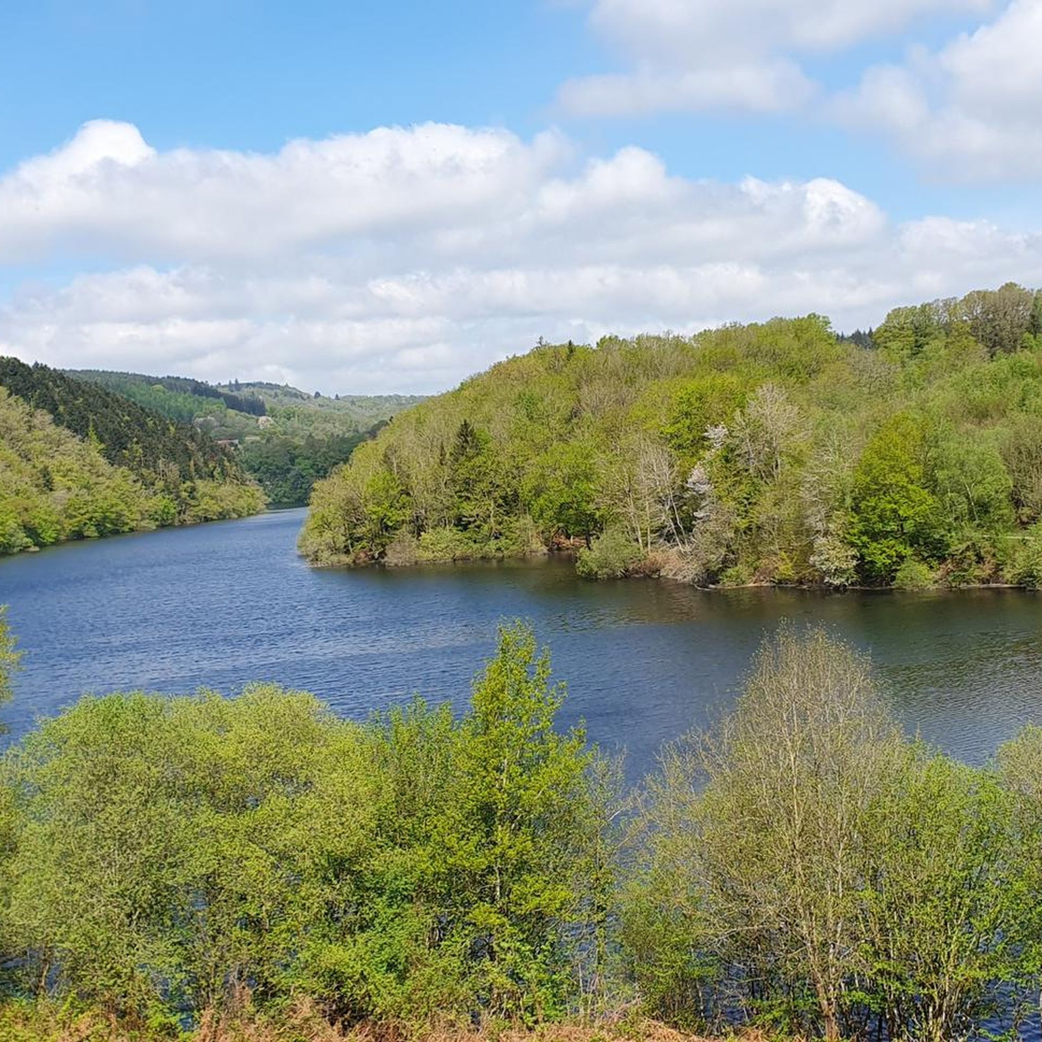
Hiking around Saint-Dizier-Leyrenne offers access to the verdant heart of the Limousin region, characterized by its unspoiled nature and diverse landscapes. The area features a hilly, green countryside with forests, meadows, and brooks. Notable natural features include the dramatic Thaurion Gorges and the mid-mountain landscapes of the Guéret Mountains.
Best hiking trails around Saint-Dizier-Leyrenne
- The most popular hiking route is Châtelus le Marcheix – loop, a 4.7 miles (7.5 km) trail that takes 2 hours 4 minutes to complete,…
Last updated: July 11, 2026
4.3
(3)
13
hikers
7.52km
02:05
130m
130m
Moderate hike. Good fitness required. Mostly accessible paths. Sure-footedness required.
5
hikers
16.2km
04:43
440m
440m
Moderate hike. Good fitness required. Easily-accessible paths. Suitable for all skill levels.

Sign up for free
5.0
(2)
8
hikers
Hard hike. Very good fitness required. Easily-accessible paths. Suitable for all skill levels.
5.0
(1)
5
hikers
Hard hike. Very good fitness required. Easily-accessible paths. Suitable for all skill levels.
4
hikers
Easy hike. Great for any fitness level. Easily-accessible paths. Suitable for all skill levels.
Get access to more routes and recommendations from other explorers.
Sign up for free
Already have an account?
Our route recommendations are based on thousands of hikes, rides, and runs completed by other people on komoot.
Start today with a free account
Your next adventure awaits.
Login or Signup
Tips from the Community

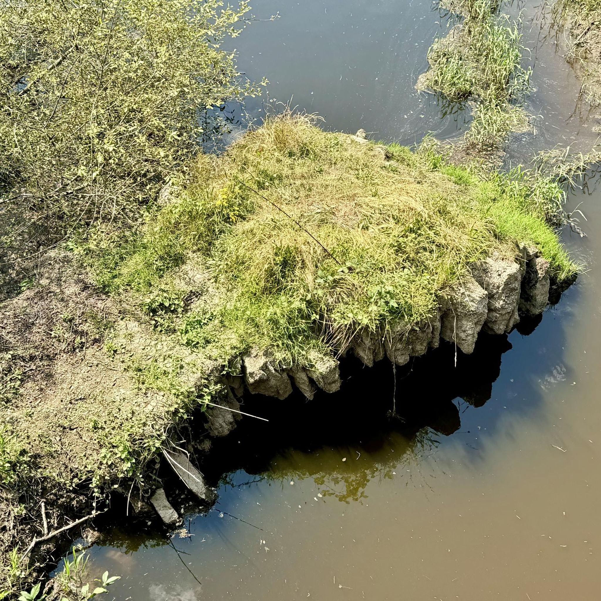
On the otters' (and fishermen's) trail towards Châtelus, this dam is impressive, especially its overflow which emerges from a cave and whose roar can be heard from afar.
0
0

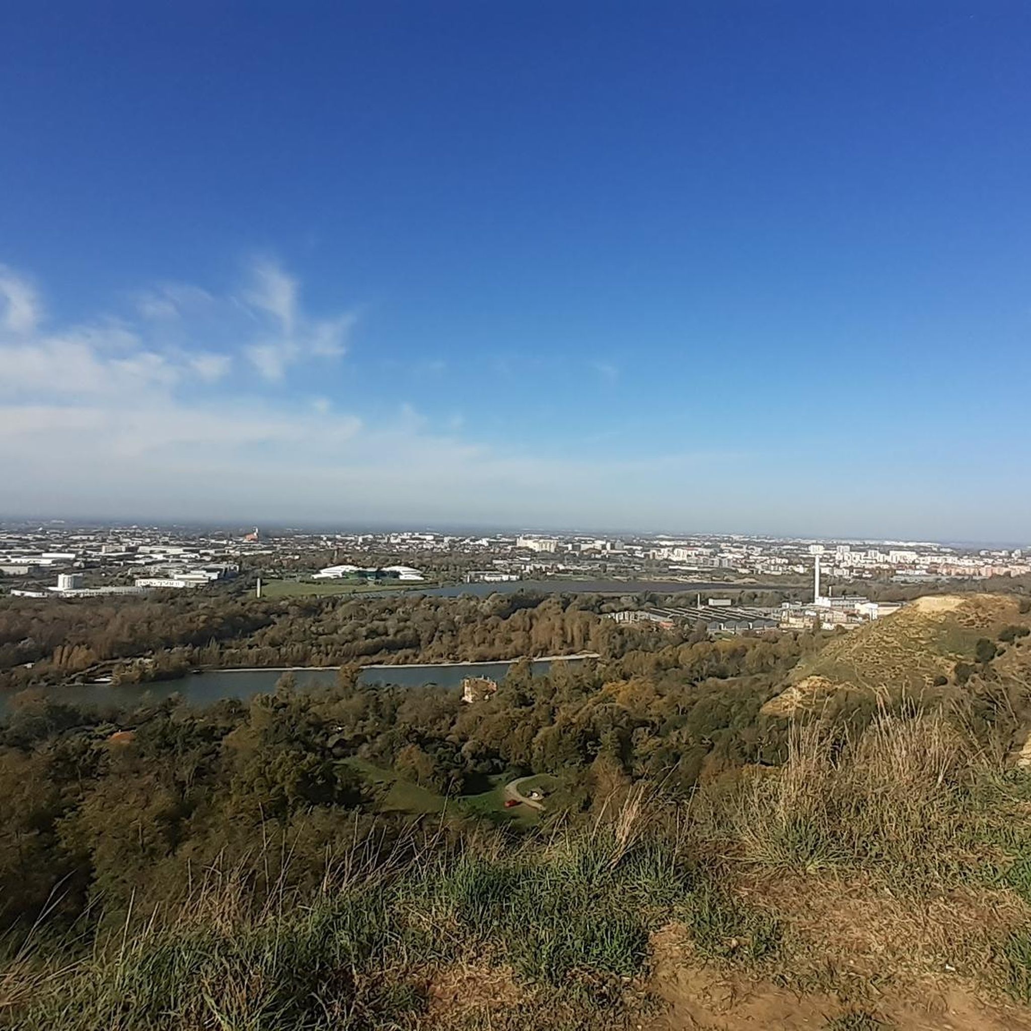
Quite steep trail. Magnificent view from the cliffs of the hill.
0
0
Pretty flowered bridge with geraniums crossing the Thaurion, a river with copper-brown water.
0
0
Beautiful view of the village and the valley from the fountain
0
0
(Sandy) beach supervised in summer
0
0
(Sandy) beach supervised in summer.
0
0

The whole area is gorgeous. Forest paths with mossy stone walls, some streams in places.
0
0
Frequently Asked Questions
How many hiking trails are available around Saint-Dizier-Leyrenne?
There are over 60 hiking routes around Saint-Dizier-Leyrenne, offering a wide range of options for various fitness levels. These trails explore the region's diverse landscapes, from hilly countryside to dramatic gorges.
Are there easy hiking trails suitable for beginners or families?
Yes, Saint-Dizier-Leyrenne offers nearly 30 easy hiking trails perfect for beginners or families. An excellent option is The Thaurion Gorges loop from Thauron, an easy 4.2-mile (6.8 km) path that explores the scenic riverside.
What natural features or landmarks can I see while hiking in this area?
The region is rich in natural beauty. You can explore the dramatic Thaurion Gorges, discover the unique Châtelus Bridge, or visit the intriguing Jaumâtres Stones near Boussac. Many trails also lead through diverse forests and offer views of the hilly countryside.
Are there any circular hiking routes around Saint-Dizier-Leyrenne?
Yes, many of the trails in the area are circular. Popular loop routes include Châtelus le Marcheix – loop, a moderate 4.7-mile (7.5 km) trail, and the longer Saint-Goussaud – Lantern of the Dead loop from Châtelus-le-Marcheix, which is 10.1 miles (16.2 km).
What is the best time of year to go hiking in Saint-Dizier-Leyrenne?
The spring and autumn months are ideal for hiking in Saint-Dizier-Leyrenne. During these seasons, the weather is generally pleasant, and the natural landscapes, from blooming meadows to vibrant autumn foliage, are at their most picturesque. Migratory birds, like common cranes, can also be observed around Lake Vassivière in autumn and spring.
Can I bring my dog on the hiking trails?
Most hiking trails in the Saint-Dizier-Leyrenne region are dog-friendly, allowing you to enjoy the natural surroundings with your canine companion. However, it's always advisable to keep dogs on a leash, especially in areas with wildlife or near livestock, and to check specific trail regulations if posted.
Are there any challenging hikes for experienced trekkers?
Yes, for experienced trekkers, there are more challenging routes. For instance, Beautiful panorama – Lantern of the Dead loop from Le Monteil is a difficult 17.9-mile (28.7 km) trail with significant elevation gain, offering rewarding views and a longer adventure.
What do other hikers say about the trails in Saint-Dizier-Leyrenne?
The trails in Saint-Dizier-Leyrenne are highly rated by the komoot community, with an average score of 4.7 stars from over 60 reviews. Hikers often praise the tranquil setting, diverse landscapes, and the well-maintained network of trails that cater to various abilities.
Are there any lakes or water activities near the hiking routes?
Yes, the region features significant water bodies. Lake Vassivière, about 40 km away, is a hub for water activities like swimming, boating, and paddleboarding, with beaches and hiking trails along its shores. Lac de Saint-Pardoux is another notable lake offering further recreational opportunities.
Is public transport available to reach trailheads, or is parking generally accessible?
While specific public transport links directly to all trailheads might be limited due to the region's low population density, parking is generally accessible near popular starting points for hikes. It's recommended to plan your route and check for parking availability at your chosen trailhead.
What kind of wildlife can I expect to see while hiking?
The natural environment around Saint-Dizier-Leyrenne, with its forests and lakes, provides opportunities for wildlife observation. Beyond the Chabrières Wolf Park, you might spot various bird species, especially around Lake Vassivière during migratory seasons, and other local wildlife in their natural habitats.
Are there any historical sites that can be combined with a hike?
Yes, you can combine outdoor activities with visits to historical sites. The 13th-century Lantern of the Dead in Saint-Goussaud can be incorporated into longer hikes. Nearby towns like Bénévent-l'Abbaye and Bourganeuf also offer historical points of interest.
Most popular routes around Saint-Dizier-Leyrenne
Most popular attractions around Saint-Dizier-Leyrenne

Get inspired with the komoot mobile app


Explore more
Browse the best Hikes in other regions.
