The best walks and hikes around Saint-Marien
4.6
(59)
171
hikers
36
hikes
Hiking trails around Saint-Marien, located in the Creuse department of Nouvelle-Aquitaine, traverse a landscape characterized by *bocage*, numerous springs, and ponds. The region's elevation, around 500 meters, provides expansive views over many kilometers. Riverine paths, such as those along the Saye river, are also present. This terrain offers a variety of hiking experiences.
Best hiking trails around Saint-Marien
- The most popular hiking route is Source of the Indre Loop, a 7.3 miles (11.8 km) trail that takes 3 hours…
Last updated: June 27, 2026
4.0
(1)
3
hikers
11.8km
03:11
150m
150m
Moderate hike. Good fitness required. Mostly accessible paths. Sure-footedness required.
5.0
(2)
11
hikers
11.1km
02:59
140m
140m
Moderate hike. Good fitness required. Easily-accessible paths. Suitable for all skill levels.

Sign up for free
5.0
(2)
7
hikers
6.62km
01:48
100m
100m
Easy hike. Great for any fitness level. Easily-accessible paths. Suitable for all skill levels.
11
hikers
23.7km
06:24
310m
310m
Hard hike. Very good fitness required. Easily-accessible paths. Suitable for all skill levels.
5.0
(1)
6
hikers
8.60km
02:20
120m
120m
Moderate hike. Good fitness required. Easily-accessible paths. Suitable for all skill levels.
Get access to more routes and recommendations from other explorers.
Sign up for free
Already have an account?
Our route recommendations are based on thousands of hikes, rides, and runs completed by other people on komoot.
Start today with a free account
Your next adventure awaits.
Login or Signup

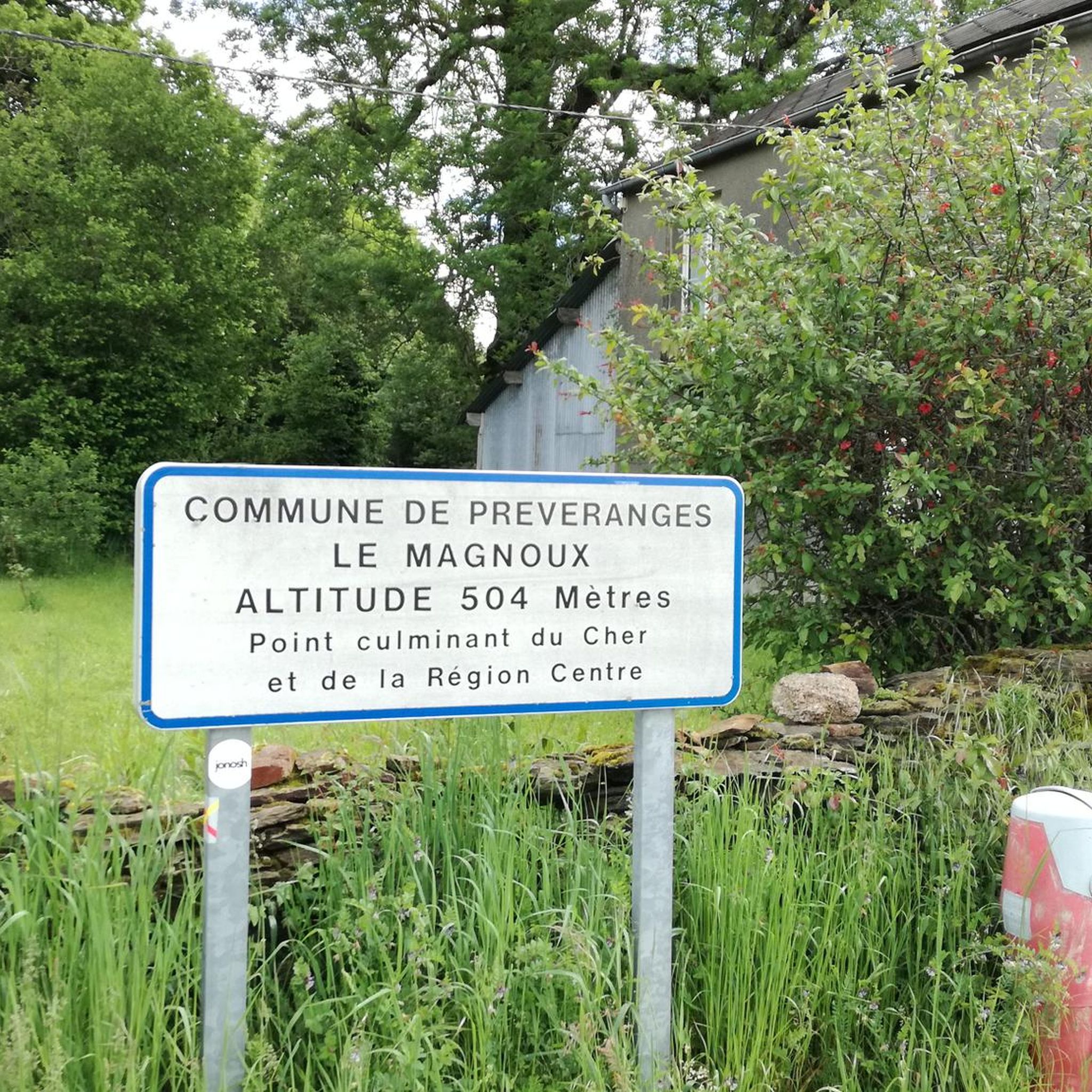
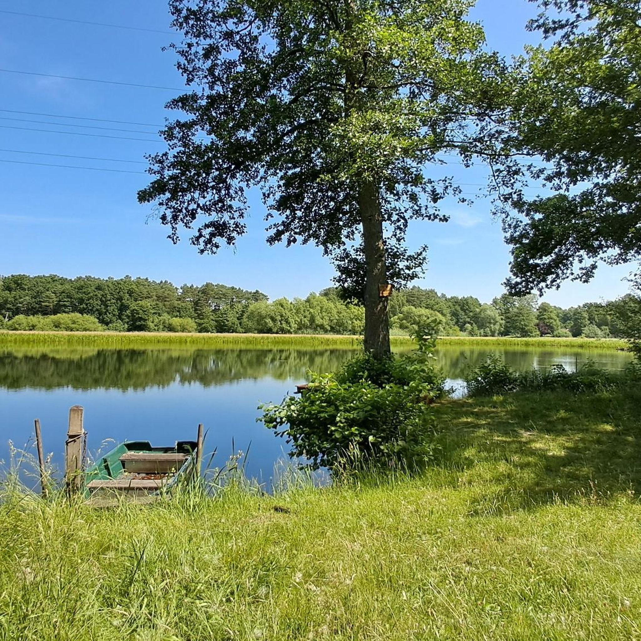
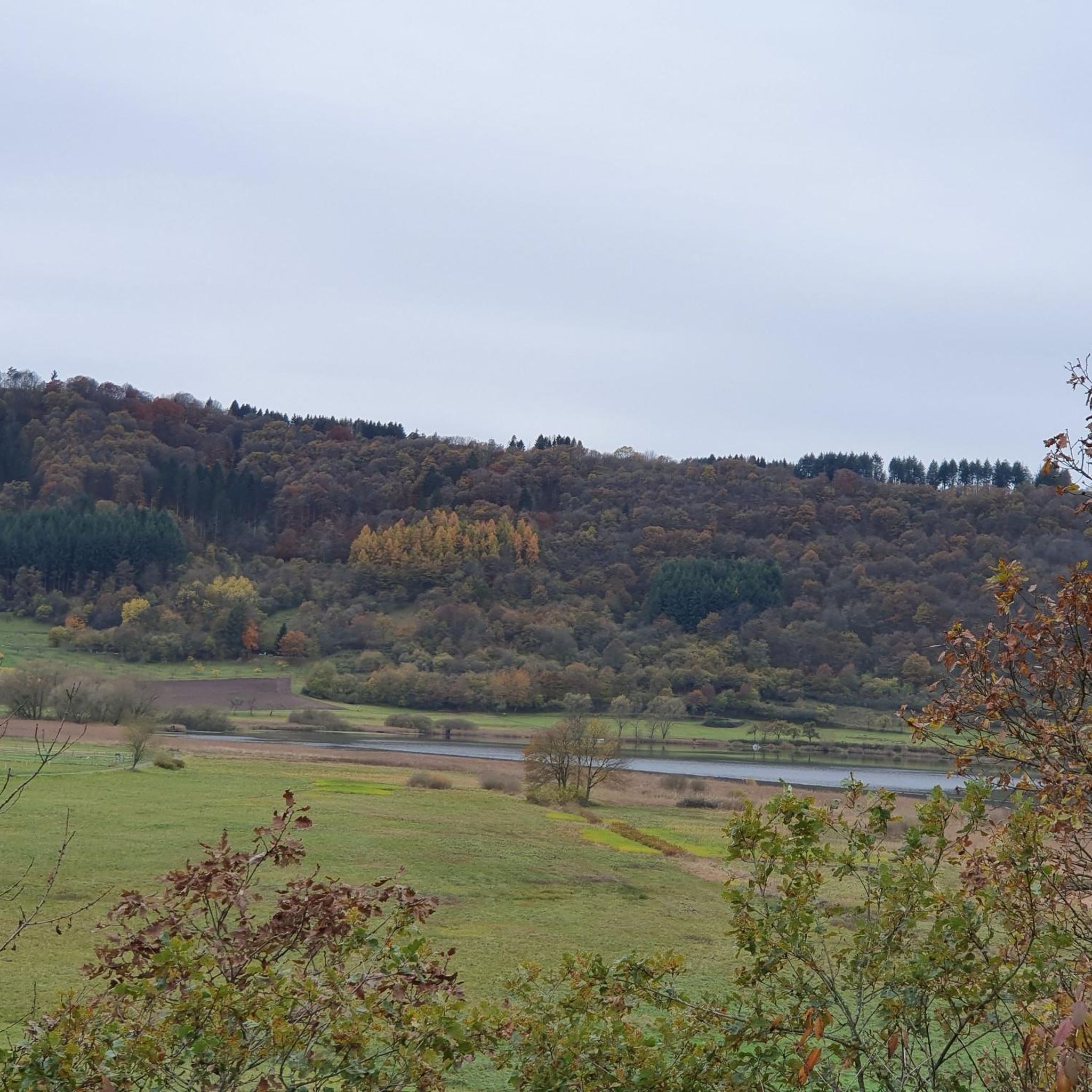
Tips from the Community

Hello, can we do the trail by mountain bike? Thank you.
0
0

You are here, at the highest point in the Cher department and the Centre-Val de Loire region. It rises to an altitude of 504 meters. The roads leading there are quiet and peaceful.
0
0
Near Saint-Priest-La-Marche, at a place called Beddes in Cher (18) at an altitude of 454 m, discover the source of the Indre river which crosses the department of the same name (36) passing through the towns of Sainte Sévère, La Châtre, Ardentes, Châteauroux (prefecture), Buzançais. It is a tributary of the Loire.
0
0

good walking shoes
0
0

One of the pretty trails of the GR de Pays "On the path of the Maîtres Sonneurs", which is inspired by George Sand's book of the same name and is maintained on a daily basis by an association.
1
0
Source of the Indre, which confluences with the Loire 265km further, after crossing the departments of Cher, Indre and Indre-et-Loire. One of the particularities of the Indre is that its banks are private, belonging to the owners of neighboring land.
0
0
Frequently Asked Questions
How many hiking trails are available in Saint-Marien?
There are over 35 hiking routes around Saint-Marien, offering a variety of experiences. These include 11 easy trails, 19 moderate routes, and 5 more challenging options, catering to different fitness levels.
What kind of landscape can I expect when hiking in Saint-Marien?
The Saint-Marien region, located in the Creuse department, is characterized by its well-preserved bocage landscape—a mix of woodland and pasture. You'll encounter numerous springs and ponds, and the area's elevation of around 500 meters provides expansive views over many kilometers. Riverine paths, such as those along the Saye river, are also common.
Are there any circular hiking routes in Saint-Marien?
Yes, Saint-Marien offers several circular walks. Popular options include the Source of the Indre Loop, a 7.3-mile (11.8 km) trail, and the Hiking loop from Préveranges, which is 6.9 miles (11.1 km). For a shorter option, consider the Source de l'Indre loop from Saint-Priest-la-Marche, at 4.1 miles (6.6 km).
What are the best times of year to go hiking in Saint-Marien?
The spring and autumn months are generally ideal for hiking in Saint-Marien, offering pleasant temperatures and beautiful scenery. Spring brings blooming flora, while autumn showcases vibrant foliage. Summer can also be enjoyable, though it's advisable to start earlier in the day to avoid the midday heat.
Are there any interesting landmarks or natural sights to see while hiking in Saint-Marien?
Absolutely. The region is home to several notable attractions. You can explore the natural beauty of Les Pierres Jaumâtres, or visit historical sites like Boussac Castle and the Ruins of the Château de la Roche-Guillebaud. The picturesque Charlot Mill and the Moulin du Grand Puy de Lansac are also worth a visit, offering insights into local heritage.
What do other hikers say about the trails in Saint-Marien?
The hiking trails in Saint-Marien are highly regarded by the komoot community, with an average rating of 4.5 out of 5 stars from over 50 reviews. Hikers often praise the quiet woodlands, the varied terrain, and the expansive views over the Creuse landscape.
Are the hiking trails in Saint-Marien suitable for families with children?
Yes, there are several easy routes that are well-suited for families. For example, the Source de l'Indre loop from Saint-Priest-la-Marche is an easy 4.1-mile (6.6 km) trail. The region's natural features like springs and ponds can also add an element of discovery for younger hikers.
Can I find challenging hikes in Saint-Marien?
For those seeking a challenge, Saint-Marien offers 5 difficult routes. One such option is the Hiking loop from Saint-Marien, which spans 14.4 miles (23.2 km) and features significant elevation changes, providing a more strenuous experience.
Are there any trails that offer particularly good viewpoints?
Given the region's elevation of approximately 500 meters, many trails provide excellent panoramic views. You can often see for dozens of kilometers, with notable points like Toulx-Sainte-Croix visible on clear days. Look for routes that traverse higher ground to maximize your chances of scenic vistas.
Are there any historical sites along the hiking routes?
Beyond the natural beauty, the area around Saint-Marien has historical points of interest. The Charlot Mill and the Moulin du Grand Puy de Lansac are both historical mills, with the latter featuring a milling museum. While not directly on a hiking route, the ancient Pair-non-Pair Cave, with its prehistoric art, is also nearby and offers a glimpse into the region's deep history (visits require booking).
What is the typical duration for hikes in Saint-Marien?
Hike durations vary widely depending on the route's length and difficulty. Easy trails like the Source de l'Indre loop from Saint-Priest-la-Marche can be completed in under 2 hours. Moderate routes, such as the Source of the Indre Loop, typically take around 3 hours. Longer, more difficult hikes can extend to 6 hours or more.
Most popular attractions around Saint-Marien

Get inspired with the komoot mobile app


Explore more
Browse the best Hikes in other regions.
