The best walks and hikes around Saint-Pierre-Chérignat
4.8
(99)
557
hikers
54
hikes
Hiking around Saint-Pierre-Chérignat offers exploration of the Limousin region's diverse landscapes within the Creuse department. The area is characterized by a rural setting with hilly terrain, providing varied environments for outdoor activities. The Taurion river forms a significant natural boundary, contributing to the rich environment of forests and valleys. This geography supports a network of hiking trails suitable for different skill levels.
Best hiking trails around Saint-Pierre-Chérignat
- The most popular hiking route is Châtelus le Marcheix – loop, a…
Last updated: July 2, 2026
4.3
(3)
13
hikers
7.52km
02:05
130m
130m
Moderate hike. Good fitness required. Mostly accessible paths. Sure-footedness required.
4.8
(5)
12
hikers
7.35km
02:02
130m
140m
Moderate hike. Good fitness required. Easily-accessible paths. Suitable for all skill levels.

Sign up for free
5
hikers
16.2km
04:43
440m
440m
Moderate hike. Good fitness required. Easily-accessible paths. Suitable for all skill levels.
5.0
(2)
8
hikers
Hard hike. Very good fitness required. Easily-accessible paths. Suitable for all skill levels.
5.0
(2)
8
hikers
3.95km
01:05
60m
60m
Easy hike. Great for any fitness level. Easily-accessible paths. Suitable for all skill levels.
Get access to more routes and recommendations from other explorers.
Sign up for free
Already have an account?
Our route recommendations are based on thousands of hikes, rides, and runs completed by other people on komoot.
Start today with a free account
Your next adventure awaits.
Login or Signup
Tips from the Community

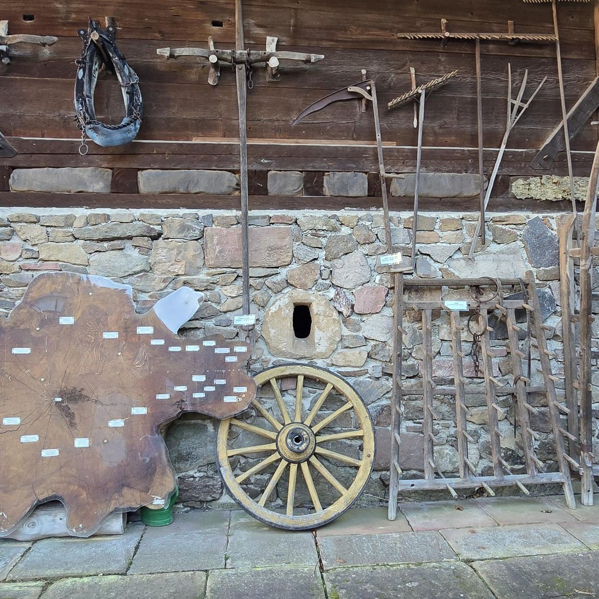
Quite steep trail. Magnificent view from the cliffs of the hill.
0
0
Pretty flowered bridge with geraniums crossing the Thaurion, a river with copper-brown water.
0
0
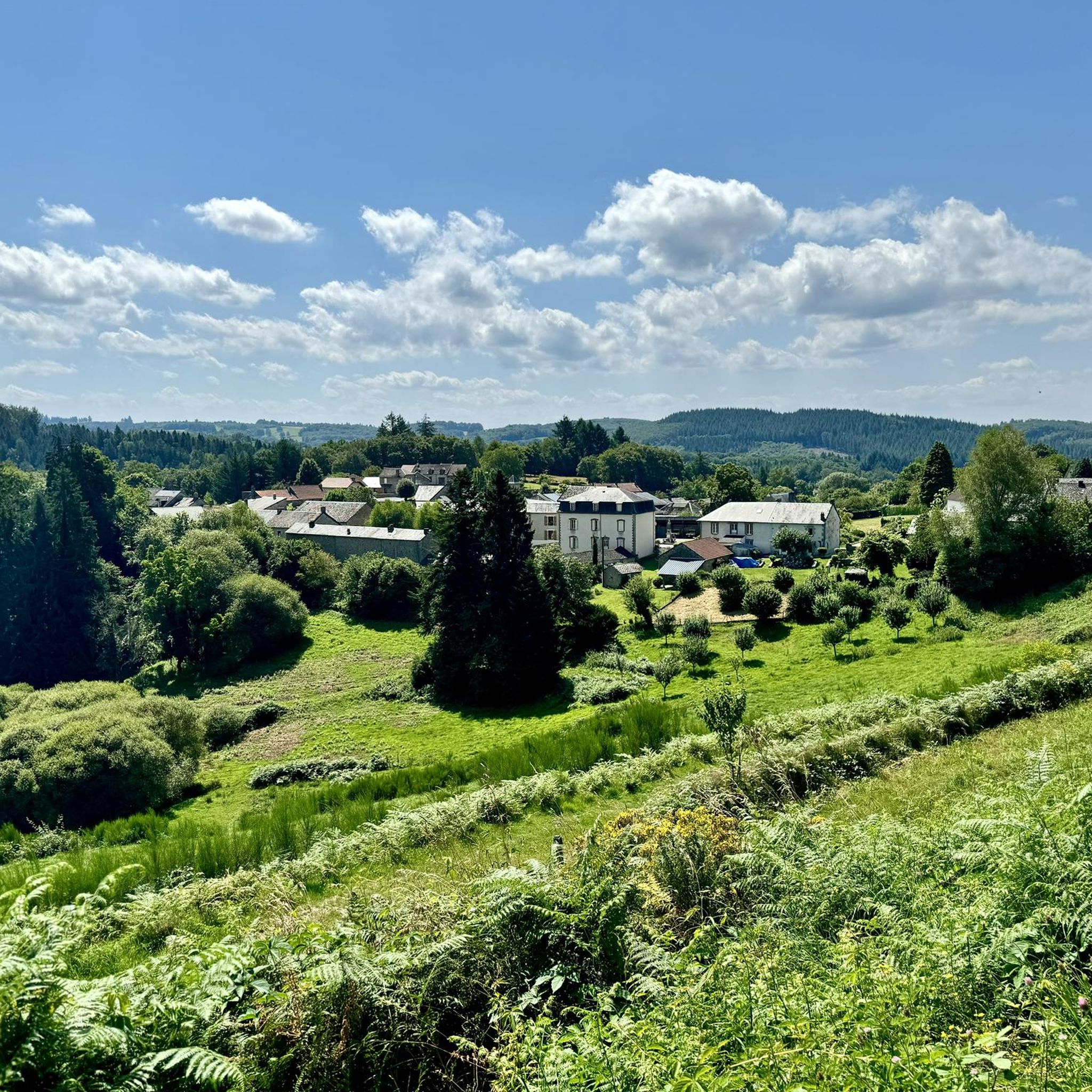
Beautiful view of the village and the valley from the fountain
0
0
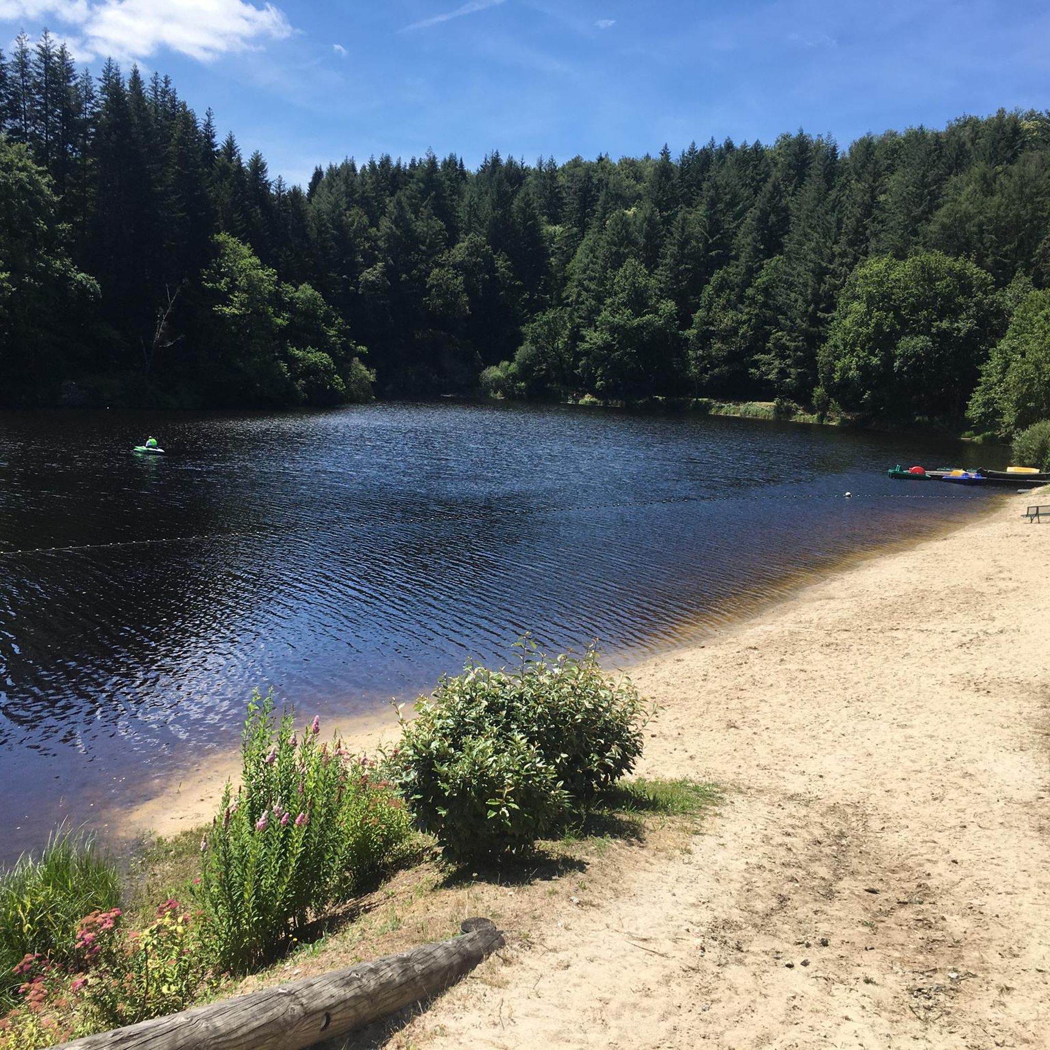
(Sandy) beach supervised in summer
0
0
(Sandy) beach supervised in summer.
0
0

The whole area is gorgeous. Forest paths with mossy stone walls, some streams in places.
0
0
The lantern states that it’s by the cemetery but either it moved or it’s been wrong all along. The cemetery is across the village, heading toward Le Fieu.
0
0
Frequently Asked Questions
How many hiking trails are available around Saint-Pierre-Chérignat?
There are over 50 hiking routes documented around Saint-Pierre-Chérignat, offering a wide range of options for exploring the Limousin region's diverse landscapes. These include 16 easy, 30 moderate, and 7 difficult trails.
What kind of natural attractions can I discover while hiking near Saint-Pierre-Chérignat?
The region is rich in natural beauty. You can explore the Châtelus Bridge, the scenic Châtelus-le-Marcheix Beach, and the tranquil Arboretum of La Jonchère-Saint-Maurice. Further afield, the Gorges du Thaurion are a registered site known for their biodiversity, and the Rigole du Diable and Devil's Rock offer unique landscapes of pebbles and boulders.
Are there any trails with waterfalls in the Saint-Pierre-Chérignat area?
Yes, the Cascades d'Augerolles are a significant natural site within the Regional Natural Park of Millevaches en Limousin. A dedicated discovery trail, 'Stone fields and Augerolles waterfalls,' guides visitors through this area, featuring impressive waterfalls and a restored mill.
What historical sites can be explored on hikes near Saint-Pierre-Chérignat?
You can visit the Lantern of the Dead, a notable historical landmark. Additionally, the Oppidum du Châtelard offers a shorter, wooded hike leading to a classified Gallo-Roman fortified site, providing a glimpse into ancient history.
Are there easy, family-friendly walks available?
Yes, there are 16 easy routes suitable for families. A good option is the Hiking loop from Les Billanges, which is 3.9 km long and takes about 1 hour 5 minutes to complete, with minimal elevation gain.
Can I find circular hiking routes around Saint-Pierre-Chérignat?
Many of the trails in the area are circular. For example, the popular Châtelus le Marcheix – loop is a moderate 7.5 km route that explores the local countryside. Another option is the Path Along the Garde River – Climbing crag loop from Les Billanges.
What do other hikers say about the trails in Saint-Pierre-Chérignat?
The trails in Saint-Pierre-Chérignat are highly rated by the komoot community, with an average score of 4.8 stars from over 90 reviews. Hikers often praise the varied terrain, the tranquility of the woodlands, and the well-maintained paths that showcase the region's natural beauty.
What is the best time of year to go hiking in Saint-Pierre-Chérignat?
The region's climate, described as mountainous or on the margins of mountains, contributes to a lush environment. Spring and autumn are generally ideal for hiking, offering pleasant temperatures and vibrant natural colors. Summer can also be enjoyable, especially along shaded river valleys like the Taurion.
Are there any longer or more challenging hikes for experienced trekkers?
Yes, there are 7 difficult routes for those seeking a challenge. The Châtelus Bridge – Châtelus-le-Marcheix Beach loop from Châtelus-le-Marcheix is a difficult 18.1 km trail with significant elevation changes, taking around 5 hours 20 minutes to complete.
What are some unique natural features to look out for on the trails?
Beyond the waterfalls, keep an eye out for the 'Roche Branlante' (Wobbly Rock) along the Béraude river, a curious natural rock formation. The Rigole du Diable also features unique landscapes of pebbles and boulders, and the wider Creuse department is known for its authentic nature, including forests and valleys.
Is it possible to hike along rivers in the area?
Absolutely. The Taurion river forms a significant natural boundary to the north and west of the commune, offering scenic riverine hikes. The Path Along the Garde River – Climbing crag loop from Les Billanges is another excellent option for following a waterway.
Most popular routes around Saint-Pierre-Chérignat
Most popular attractions around Saint-Pierre-Chérignat

Get inspired with the komoot mobile app


Explore more
Browse the best Hikes in other regions.
