The best running trails around Launsdorf
4.4
(287)
6,352
runners
256
runs
Jogging routes Launsdorf offer access to the scenic landscapes of Carinthia, Austria. The region is characterized by the Längsee, providing numerous lakeside trails suitable for running. Joggers can experience a mix of paved surfaces and natural forest paths, with routes often featuring gentle ascents and descents. The overall landscape features gently undulating countryside, with the Gurk river incorporated into some routes.
Best jogging routes around Launsdorf
- The most popular jogging route is Kewelsberg loop from Wehingen, a 3.0 miles…
Last updated: July 6, 2026
5.0
(1)
14
runners
4.82km
00:30
30m
30m
Easy run. Great for any fitness level. Mostly paved surfaces. Suitable for all skill levels.
9
runners
7.07km
00:45
80m
80m
Moderate run. Good fitness required. Mostly paved surfaces. Suitable for all skill levels.

Sign up for free
6
runners
8.30km
00:53
130m
130m
Moderate run. Good fitness required. Mostly paved surfaces. Suitable for all skill levels.
5.0
(2)
7
runners
4.75km
00:30
50m
50m
Easy run. Great for any fitness level. Mostly paved surfaces. Suitable for all skill levels.
7
runners
9.13km
00:57
90m
90m
Moderate run. Good fitness required. Mostly paved surfaces. Suitable for all skill levels.
Get access to more routes and recommendations from other explorers.
Sign up for free
Already have an account?
Our route recommendations are based on thousands of hikes, rides, and runs completed by other people on komoot.
Start today with a free account
Your next adventure awaits.
Login or Signup

Tips from the Community

Artwork from 1990
1
0

Works of art, great landscape, far-reaching views on the Grenzland Route. Great bike path👌👍
0
0
What a great bike path. Beautiful landscape👌👍
2
0
An impressive stone memorial stone
1
0

Nice trail along the border, with great views.
0
0

it is EXACTLY on the German/French border.
2
0

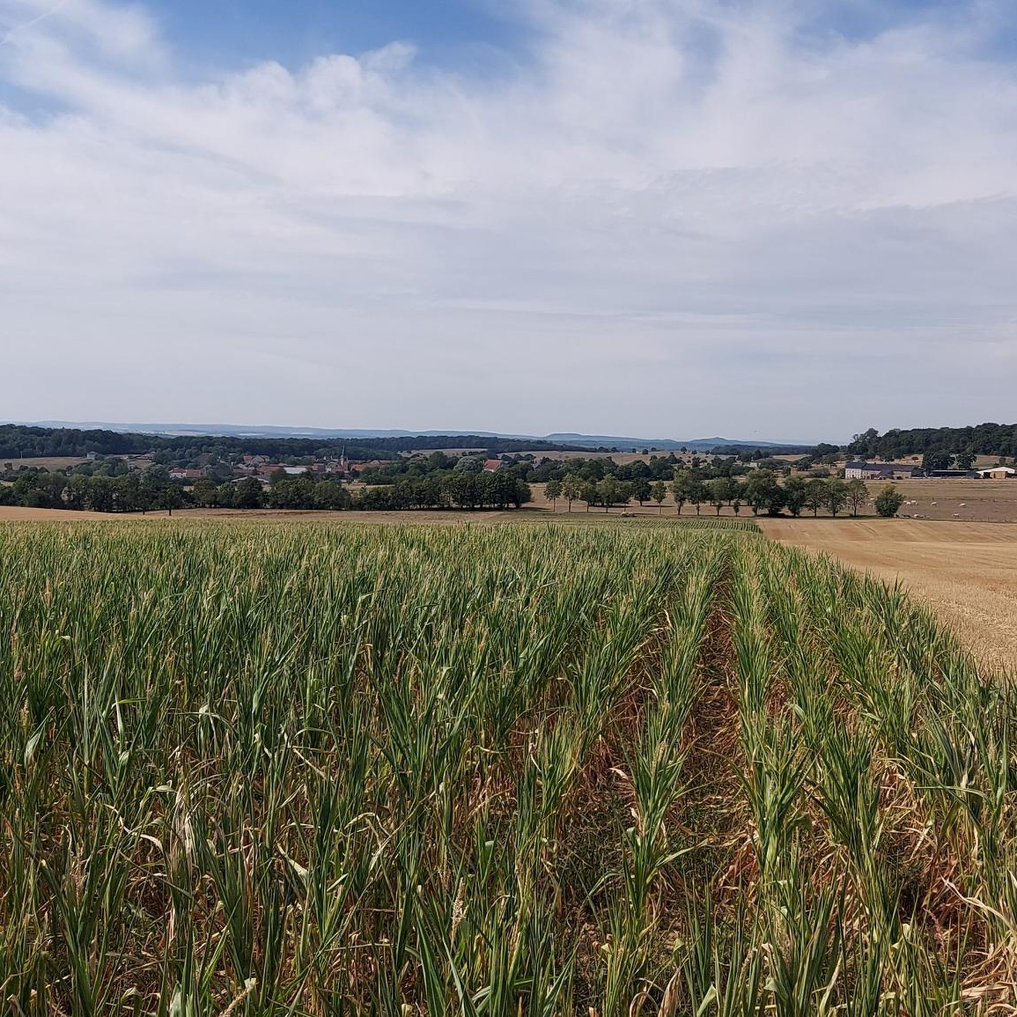
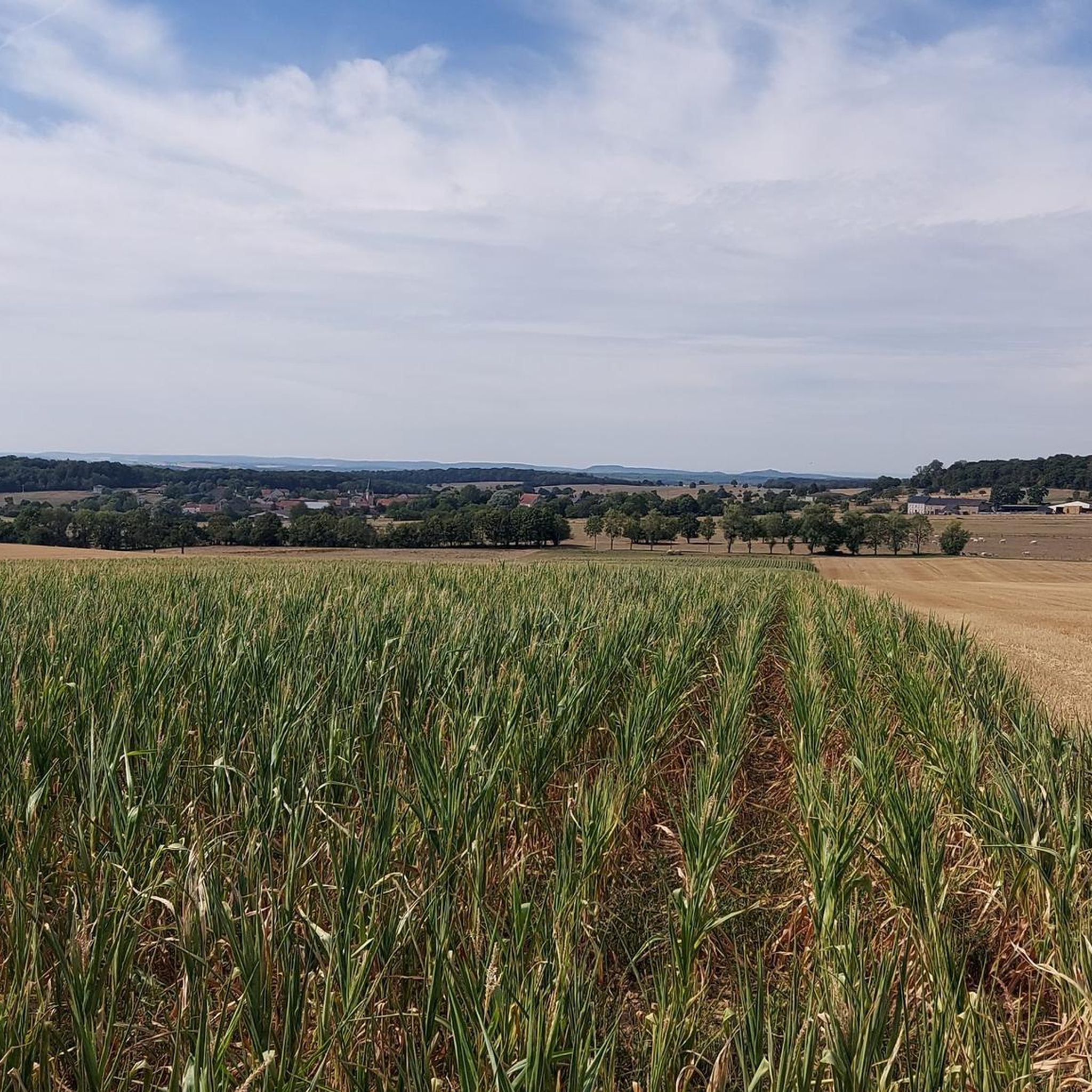
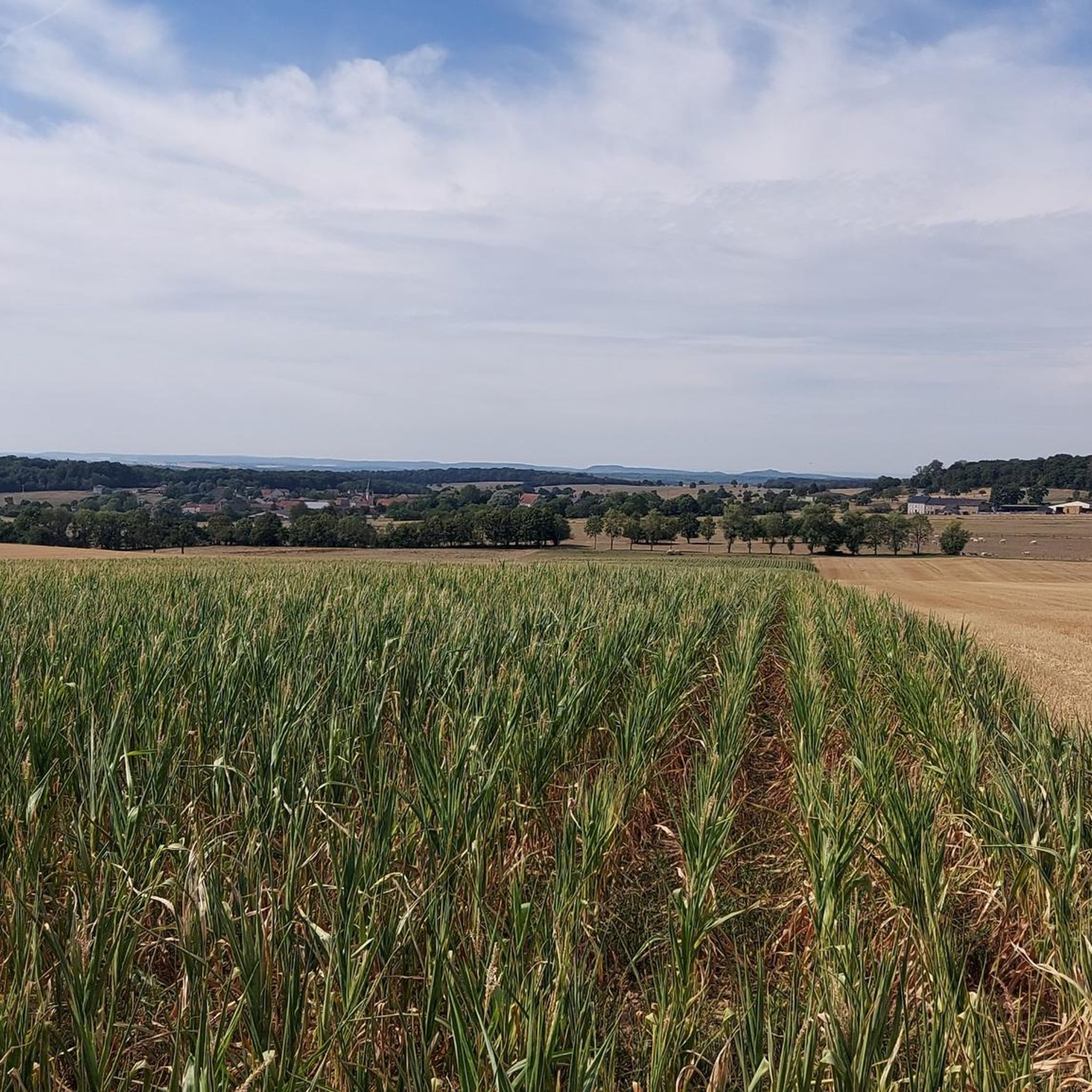
This plateau lies between the Saar and the Moselle. Once you've made the climb, the landscape rolls on in gentle waves. Once at the top, there is a really wide and beautiful view of the border region Germany - France - Luxembourg.
0
0

Between Germany and France... between Lorraine and Saarland: there is a wide area here and your eyes can wander into the distance from the heights, to the Vosges, the Palatinate Forest... The menhir path with the stone sculptures gives the solitude up here a strange companionship.
0
0
Frequently Asked Questions
How many running routes are available in the Launsdorf area?
There are over 240 running routes around Launsdorf, offering a wide variety of options for all fitness levels. This includes 28 easy routes, 182 moderate routes, and 33 more challenging trails.
What kind of terrain can I expect on jogging trails around Launsdorf?
The running trails around Launsdorf feature a diverse mix of terrain. You'll find paved surfaces, natural forest paths, and lakeside trails, particularly around the scenic Längsee. Many routes include gentle ascents and descents, providing varied running experiences.
Are there any circular running routes near Launsdorf?
Yes, many routes in the Launsdorf area are designed as loops, perfect for a continuous run. For example, the Running loop from Tünsdorf is a popular choice, offering a 3.3-mile (5.4 km) trail through the local countryside.
What do other runners say about the trails in Launsdorf?
The running routes in Launsdorf are highly rated by the komoot community, with an average score of 4.5 stars from over 230 reviews. Runners often praise the scenic lakeside views, varied forest paths, and the overall natural beauty of the Längsee region.
Can I bring my dog on the running trails in Launsdorf?
Generally, many natural trails in the Launsdorf region are dog-friendly, especially those through forests and along the Längsee. However, it's always recommended to keep your dog on a leash, especially in nature protection areas or near livestock, and to check local regulations for specific trails.
Are the running trails around Launsdorf suitable for families?
Yes, Launsdorf offers several family-friendly running options, particularly the gentler trails around the Längsee. These routes often have minimal elevation changes and provide beautiful scenery, making them enjoyable for all ages. Look for routes categorized as 'easy' for the most family-friendly experiences.
What are some scenic viewpoints or landmarks I can see while running?
The region is rich in scenic spots. Many trails offer continuous views of the tranquil Längsee and the distant Karawanken mountains. You might also catch glimpses of historical sites like St. Georgen Abbey, which is integrated into some lakeside routes, or even distant views of the impressive Hochosterwitz Castle. For specific natural highlights, consider exploring areas with views like View of the Saarschleife from Cloef or the Steinbach Valley.
Are there options for public transport to access running trails in Launsdorf?
While Launsdorf is best explored by car for direct access to trailheads, local bus services connect the village to nearby towns like St. Veit an der Glan. It's advisable to check local bus schedules for specific routes and stops that might be close to your desired running trail.
Where can I find parking for the running routes?
Parking is generally available at key access points around the Längsee and near popular trailheads in and around Launsdorf. Specific parking information is often provided on individual route descriptions on komoot, or you can look for designated parking areas near villages like Tünsdorf or Wehingen, which are starting points for several routes.
What is the best time of year to go running in Launsdorf?
Launsdorf is beautiful year-round, but spring and autumn offer particularly pleasant running conditions with mild temperatures and vibrant natural colors. Summer is also great, especially for lakeside runs, though it can be warmer. Winter running is possible, but some trails might be icy or covered in snow, so appropriate gear is recommended.
Are there any longer or more challenging running routes for experienced runners?
Yes, for experienced runners seeking a greater challenge, Launsdorf offers 33 difficult routes. These trails often feature more significant elevation changes and cover longer distances. An example of a moderate route with varied terrain is the Running loop from Waldwisse, which is 7.6 km long with over 100 meters of elevation gain.
Can I combine my run with a visit to a cafe or pub afterwards?
Absolutely! The Launsdorf area, particularly around the Längsee and in nearby villages, has various cafes, restaurants, and guesthouses where you can relax and refuel after your run. Many establishments offer traditional Carinthian cuisine and refreshing drinks.
Are there any 'Slow Trails' in the region that are suitable for running?
Yes, the region emphasizes 'Slow Trails' which are designed for enjoying nature at a relaxed pace, but many are also excellent for running. The 'Slow Trail Längsee' is a prime example, guiding you along the lake's shores and through charming hamlets, offering a meditative running experience. You can find more information about these trails on the Visit Carinthia website.
Most popular attractions around Launsdorf

Get inspired with the komoot mobile app


Explore more
Browse the best Running Trails & Routes in other regions.
