The best walks and hikes around Ladignac-Sur-Rondelles
4.5
(247)
1,444
hikers
46
hikes
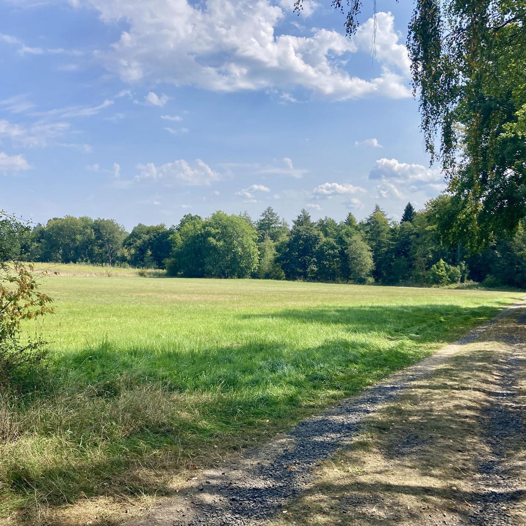
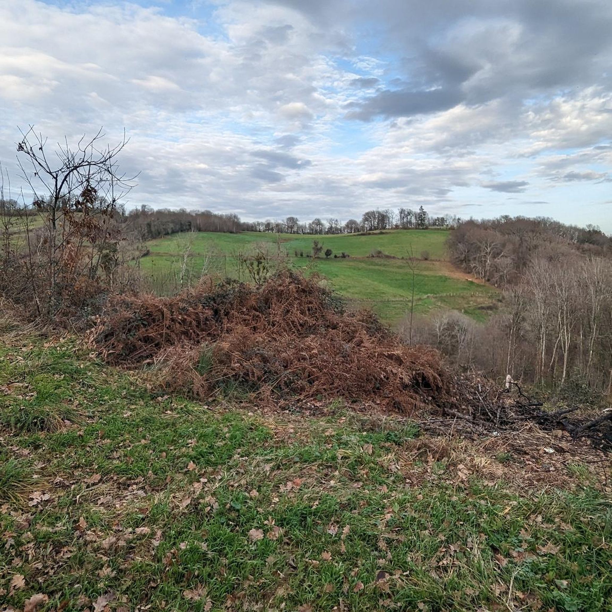
Hiking around Ladignac-Sur-Rondelles, located in the Corrèze department of Nouvelle-Aquitaine, offers diverse landscapes for outdoor exploration. The region is characterized by scenic valleys, including that of the Rondelle stream, and features a mix of sub-woods and open terrain. A prominent natural feature is the Gimel Waterfalls, where the Montane river descends through a wild gorge. Expansive panoramic views of surrounding valleys are accessible from various points, providing varied hiking experiences.
Best hiking trails around Ladignac-Sur-Rondelles
- The most popular hiking route…
Last updated: May 18, 2026
4.0
(1)
7
hikers
9.46km
02:43
230m
230m
Moderate hike. Good fitness required. Easily-accessible paths. Suitable for all skill levels.
4.3
(10)
89
hikers
Moderate hike. Good fitness required. Easily-accessible paths. Suitable for all skill levels.

Sign up for free
4.5
(2)
36
hikers
19.9km
05:51
550m
550m
Hard hike. Very good fitness required. Easily-accessible paths. Suitable for all skill levels.
16
hikers
29.8km
08:43
830m
830m
Hard hike. Very good fitness required. Easily-accessible paths. Suitable for all skill levels.
13
hikers
5.99km
01:37
80m
80m
Easy hike. Great for any fitness level. Easily-accessible paths. Suitable for all skill levels.
Get access to more routes and recommendations from other explorers.
Sign up for free
Already have an account?
Our route recommendations are based on thousands of hikes, rides, and runs completed by other people on komoot.
Start today with a free account
Your next adventure awaits.
Login or Signup


Tips from the Community

This place is well worth it and amazes us with its beauty and the raging force of the tumultuous torrent. Beautiful photos in perspective, accompanied by this idyllic setting.
0
0

Small metal footbridge to cross the Montane on the "Yellow" circuit, starting from Gimel les Cascades. Caution is advised with children.
0
0
The Gour waterfall is located on the yellow-marked hiking trail starting from Gimel Les Cascades. To reach it, you'll need to make a short round trip from the trail. The markings aren't always clear.
0
0


be sure to look back a few times as you follow the chemin des Crêtes.
0
0

Only 1.5km from the center of Tulle, beautiful view of the city at the top of a small steep hill.
0
0
The city prefecture of Tulle is not revealed at first glance, you have to get lost in the alleys of the old districts (Alverge, Trech, Barussie, Barrière...) and discover its architectural heritage, climb stairs to discover remarkable viewpoints, stroll through its markets, push open the doors of shops, taste local specialities, etc.
0
0
Beautiful view of the heights of Tulle. The countryside a few minutes from the city!
1
0
Frequently Asked Questions
How many hiking trails are available around Ladignac-sur-Rondelles?
There are over 45 hiking routes around Ladignac-sur-Rondelles, offering a variety of experiences from easy strolls to more challenging treks. The komoot community has explored more than 1,400 of these routes.
Are there any trails that feature waterfalls near Ladignac-sur-Rondelles?
Yes, the region is famous for its dramatic waterfalls. The Cascade de Gimel – Pont vue cascades 1 loop from Arboretum du puy de Chadon is a moderate route that takes you to the magnificent Gimel Waterfalls, where the Montane river plunges through a wild gorge. You can also find the Cascade and Cascades de Gimel as highlights in the area.
What kind of natural features can I expect to see on hikes in this area?
Hiking around Ladignac-sur-Rondelles offers a blend of scenic valleys, including the tranquil Rondelle stream, and diverse landscapes featuring both sub-woods and open terrain. Expansive panoramic views of surrounding valleys are accessible from various points, such as the hamlet of Puy-Dieu, which overlooks Chanac-les-Mines, Saint-Bonnet-Avalouze, and Saint-Martial-de-Gimel.
Are there any historical landmarks or points of interest along the hiking routes?
Beyond natural beauty, the area offers cultural and historical sites. You can explore the 12th-century Saint-Étienne church in the village, or discover the ruins of the Saint-Étienne-de-Braguse church and an old toll bridge near the Gimel Waterfalls. The late 15th-century St Pardoux church, with its 12th-century Limoges enamel reliquary, is also a notable historical feature.
Are there easy hiking options suitable for families?
Yes, the area provides a good selection of easy routes. Out of the total trails, 24 are classified as easy, making them suitable for families or those looking for a less strenuous walk. These trails allow you to immerse yourself in the region's landscapes without significant elevation changes.
Can I find circular hiking routes around Ladignac-sur-Rondelles?
Yes, many trails in the vicinity are designed as circular routes, allowing you to start and end at the same point. The region research mentions popular circuits like "Argeassou, Rondelle et Avalouze" which are great for exploring the local heritage and natural reserves.
What do other hikers say about the trails in Ladignac-sur-Rondelles?
The trails in Ladignac-sur-Rondelles are highly regarded by the komoot community, with an average rating of 4.5 stars from over 250 reviews. Hikers often praise the dramatic waterfalls, tranquil valleys, and the combination of wooded and open landscapes that define the area's diverse terrain.
Are there any challenging or difficult hikes in the area?
For experienced hikers seeking a challenge, there are 5 difficult routes available. An example is the Cloister museum loop from Tulle, which is nearly 20 km long with significant elevation gain, typically taking almost 6 hours to complete.
Is it possible to reach hiking trails using public transport?
While specific public transport links directly to trailheads are not detailed, the region is accessible. For detailed information on public transport options to reach the starting points of specific trails, it's advisable to check local transport schedules or contact the regional tourism office.
What is the best time of year to go hiking in Ladignac-sur-Rondelles?
The region's 'breathtaking nature, wild and full of life' makes it appealing throughout much of the year. Spring and autumn generally offer pleasant temperatures and vibrant scenery, while summer is ideal for enjoying the waterfalls and open landscapes. Winter hiking is also possible, though conditions may vary.
Are there any dog-friendly hiking trails in the area?
Many natural areas and trails in France are generally dog-friendly, especially if dogs are kept on a leash. While specific dog-friendly routes are not highlighted in the data, the diverse landscapes and numerous trails around Ladignac-sur-Rondelles likely offer many options for walking with your dog. Always ensure your dog is under control and respect local signage regarding pets.
Where can I find parking for hiking trails near Ladignac-sur-Rondelles?
Many hiking trailheads in rural areas like Ladignac-sur-Rondelles typically have designated parking areas, often near villages or popular natural sites. For specific routes, details about parking can usually be found on the individual komoot tour pages or by checking local tourism information for the starting point of your chosen hike.
Most popular routes around Ladignac-Sur-Rondelles
Most popular attractions around Ladignac-Sur-Rondelles

Get inspired with the komoot mobile app


Explore more
Browse the best Hikes in other regions.
