The best walks and hikes around Éragny
4.5
(998)
5,984
hikers
553
hikes
Hiking around Éragny offers diverse landscapes, from the tranquil banks of the Oise River to the expansive Vexin Français Regional Natural Park. The region is characterized by its green spaces, including local parks and the preserved environment along the Oise, providing varied terrain for outdoor activities. Hikers can explore paths along the river, through forests, and near significant natural features like the chalk cliffs of the Seine hillsides. The area also integrates art and nature, notably with the monumental Axe…
Last updated: July 1, 2026
4.6
(9)
67
hikers
16.7km
04:26
160m
160m
Moderate hike. Good fitness required. Mostly accessible paths. Sure-footedness required.
5.0
(5)
59
hikers
5.95km
01:32
30m
30m
Easy hike. Great for any fitness level. Easily-accessible paths. Suitable for all skill levels.

Sign up for free
4.8
(8)
56
hikers
Easy hike. Great for any fitness level. Easily-accessible paths. Suitable for all skill levels.
4.8
(4)
48
hikers
Moderate hike. Good fitness required. Easily-accessible paths. Suitable for all skill levels.
4.7
(7)
39
hikers
13.4km
03:25
50m
50m
Moderate hike. Good fitness required. Easily-accessible paths. Suitable for all skill levels.
Get access to more routes and recommendations from other explorers.
Sign up for free
Already have an account?
Our route recommendations are based on thousands of hikes, rides, and runs completed by other people on komoot.
Start today with a free account
Your next adventure awaits.
Login or Signup
Tips from the Community

At the bend in the path, the entrance to Port Cergy appears, surprising...
0
0

Very pleasant leisure center for a relaxing break with many possible activities
0
0

very smooth section, few cars (dead end)
0
0

The architecture of this red bridge is magnificent and stands out in the middle of this lake and this greenery. As pleasant for the scales as for the photos.
0
0

Beautiful footbridge with a clear view of the main road of Cergy in good weather. But be careful, in rainy weather it is slippery!
0
0

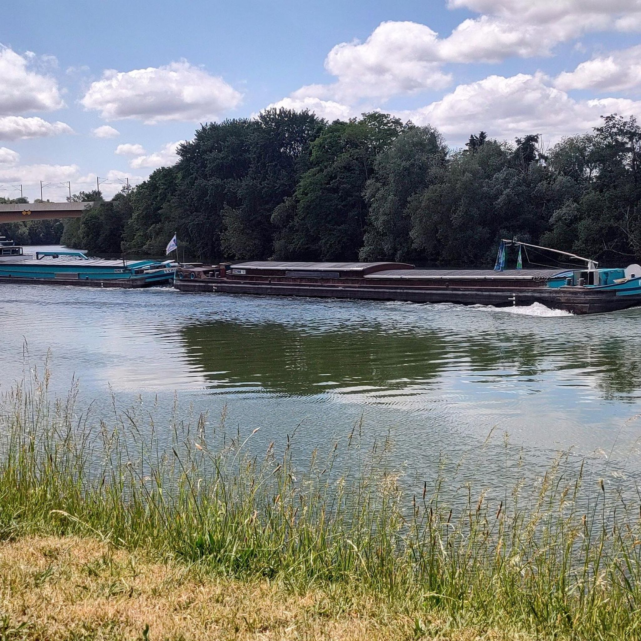
The path of the Pelouse is a beautiful path to appreciate the landscapes of the Oise. Here, a lock dam creates an interesting water feature.
0
0

Designated by the code 2P, the concrete shelter located in Éragny at the bottom of Chemin de la Carrière à Pépin is part of the Paris defense line built in 1939/1940. Nicknamed the "Chauvineau line" after the name of the general who ordered its construction, it was intended to allow the withdrawal of troops and the defense of the capital in the event of the failure of the famous "Maginot line" responsible for protecting France's borders to the east.
1
0
Frequently Asked Questions
How many hiking trails are available around Éragny?
Éragny offers a wide variety of hiking opportunities, with nearly 600 different trails listed on komoot. These routes cater to all fitness levels, ranging from easy strolls to more challenging excursions.
Are there easy hiking trails suitable for families or beginners in Éragny?
Yes, Éragny is very welcoming for families and beginners. Over 260 easy routes are available. For example, the Pontoise cliff loop from Pontoise is an easy 6.2 km path offering pleasant views of the Oise valley. Many local parks like Parc Urbain and eco-parc Colonel Beltrame also provide gentle paths for leisurely walks.
What kind of landscapes can I expect to see while hiking in Éragny?
Hikers in Éragny will experience diverse landscapes. You can explore the tranquil banks of the Oise River, with its green and preserved environment, or venture into the expansive Vexin Français Regional Natural Park, known for its chalk cliffs, lush forests, and rich biodiversity. Local green spaces and parks also offer beautifully maintained areas for walking.
Are there any circular hiking routes in Éragny?
Yes, many routes in Éragny are designed as loops, allowing you to start and finish at the same point. An example is the Quai de l'Écluse – Oise Lock and Dam loop from Saint-Ouen-l'Aumône, an easy 5.8 km trail along the Oise River.
What are some notable natural attractions or landmarks to see along the trails?
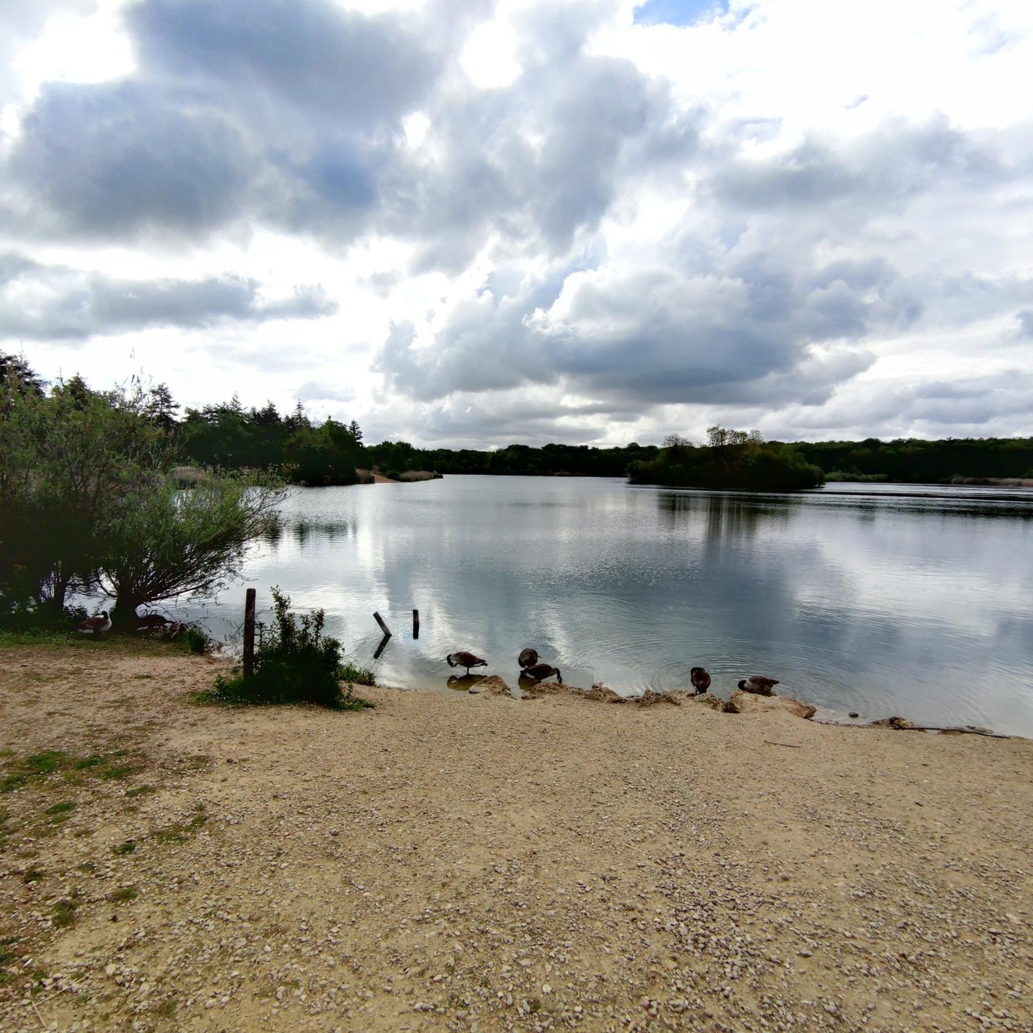
The region boasts several interesting natural and cultural landmarks. You can visit the picturesque Corra Pond, ideal for picnics and birdwatching, or explore the monumental Axe Majeur in nearby Cergy-Pontoise, an art installation offering panoramic views of the Oise River. The chalk cliffs of the Seine hillsides within the Vexin Français Regional Natural Park are also a striking natural feature.
Can I bring my dog on the hiking trails in Éragny?
Many trails in Éragny, especially those along the Oise River banks and within the Vexin Français Regional Natural Park, are generally dog-friendly. However, it's always recommended to keep your dog on a leash, especially in protected natural areas or near wildlife, and to check specific trail regulations for any restrictions.
Are there any historical sites or cultural points of interest accessible by hiking?
Absolutely. Some hiking trails in the Éragny region incorporate visits to charming villages and historical sites, such as old churches and wash houses, adding a cultural dimension to your outdoor adventure. The area's scenic beauty also inspired Impressionist painters like Camille Pissarro, and you can visit the former home of Claude Monet for a cultural interlude.
What do other hikers say about the trails in Éragny?
The hiking routes in Éragny are highly regarded by the komoot community, holding an average rating of 4.5 stars from over 880 reviews. Hikers often praise the diverse scenery, from the peaceful riverbanks to the natural beauty of the Vexin Français Regional Natural Park, and the variety of trails suitable for all levels.
Are there any viewpoints offering scenic vistas in the Éragny area?
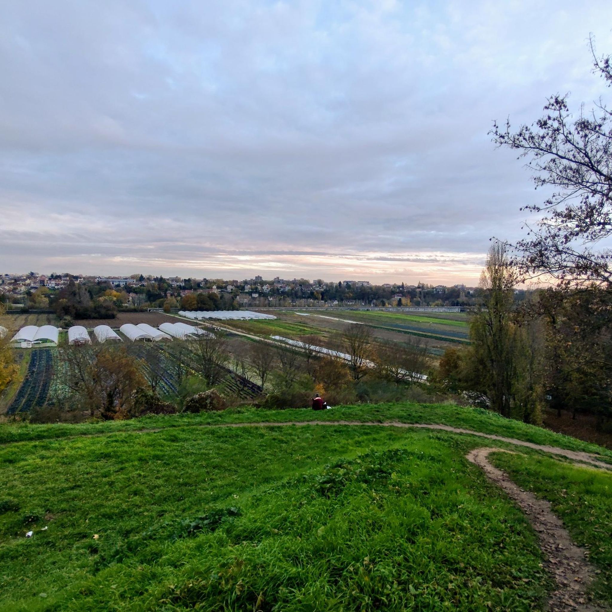
Yes, for excellent panoramic views of the Oise valley, you can seek out 'The Top of the Old Cemetery'. Additionally, the monumental Axe Majeur in Cergy-Pontoise offers expansive views of the Oise River's meanders and even Paris on clear days.
How can I access the hiking trails in Éragny using public transport?
Éragny and its surrounding areas are generally well-connected by public transport, particularly within the Île-de-France region. Many trailheads, especially those near urban centers like Cergy-Pontoise or Saint-Ouen-l'Aumône, are accessible via local train or bus services, making it convenient to reach the starting points of various hikes.
Are there any moderate or challenging hikes for more experienced hikers?
Yes, while Éragny offers many easy routes, there are also moderate and a few challenging options for more experienced hikers. Approximately 270 routes are classified as moderate, and 40 as difficult. An example of a moderate route is the Path Along the Stream – Oise Lock and Dam loop from Éragny-sur-Oise, which covers nearly 12 km.
Most popular attractions around Éragny

Get inspired with the komoot mobile app


Explore more
Browse the best Hikes in other regions.
