The best walks and hikes around Saint-Bonnet-Avalouze
4.6
(88)
656
hikers
35
hikes
Hiking around Saint-Bonnet-Avalouze offers a varied and hilly landscape, characterized by its undulating terrain and the presence of the Saint Bonnette river. The region is noted for its wild nature, providing diverse scenery and elevation changes for outdoor enthusiasts. Significant altitude differences are present, including areas with waterfalls, and former railway lines contribute to the network of paths.
Best hiking trails around Saint-Bonnet-Avalouze
- The most popular hiking route is Discovering the city of Tulle, a 5.9 miles (9.5 km)…
Last updated: May 21, 2026
4.0
(1)
7
hikers
9.46km
02:43
230m
230m
Moderate hike. Good fitness required. Easily-accessible paths. Suitable for all skill levels.
4.5
(2)
36
hikers
19.9km
05:51
550m
550m
Hard hike. Very good fitness required. Easily-accessible paths. Suitable for all skill levels.

Sign up for free
16
hikers
29.8km
08:43
830m
830m
Hard hike. Very good fitness required. Easily-accessible paths. Suitable for all skill levels.
13
hikers
5.99km
01:37
80m
80m
Easy hike. Great for any fitness level. Easily-accessible paths. Suitable for all skill levels.
5.0
(2)
9
hikers
7.93km
02:07
90m
90m
Moderate hike. Good fitness required. Easily-accessible paths. Suitable for all skill levels.
Get access to more routes and recommendations from other explorers.
Sign up for free
Already have an account?
Our route recommendations are based on thousands of hikes, rides, and runs completed by other people on komoot.
Start today with a free account
Your next adventure awaits.
Login or Signup
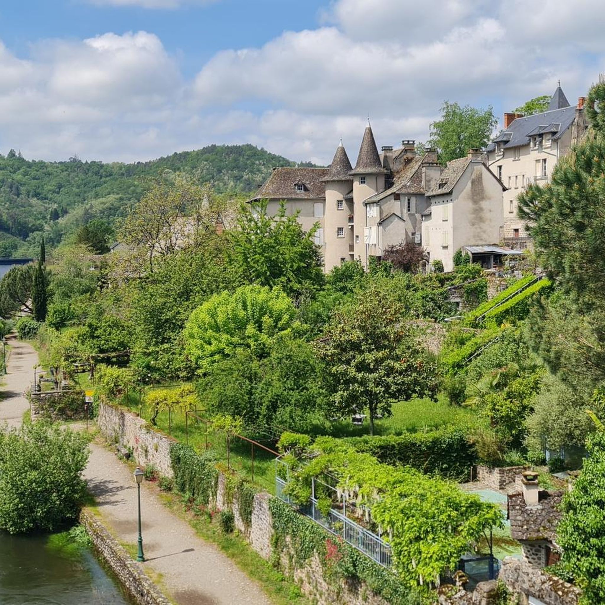
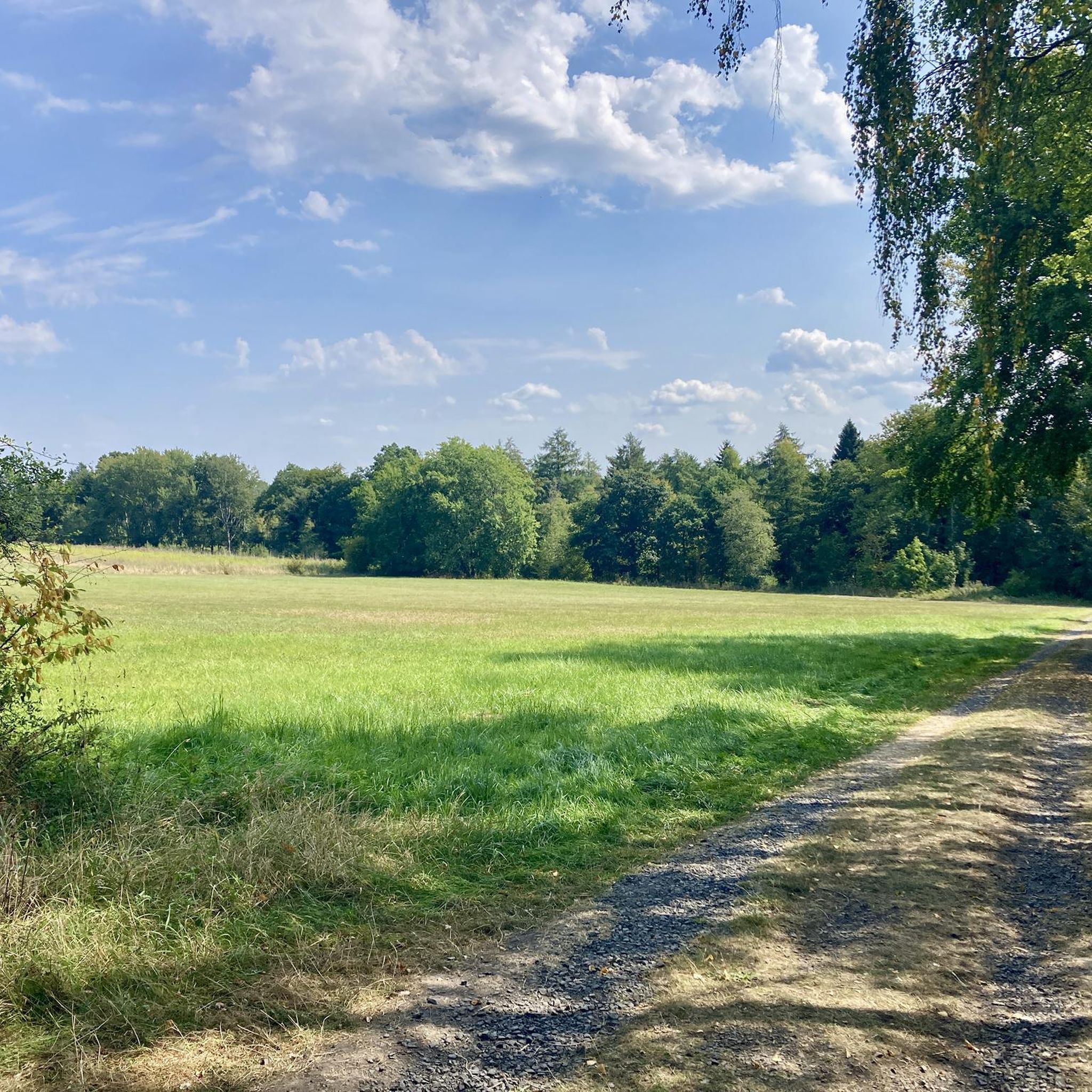


Tips from the Community

This place is well worth it and amazes us with its beauty and the raging force of the tumultuous torrent. Beautiful photos in perspective, accompanied by this idyllic setting.
0
0

Small metal footbridge to cross the Montane on the "Yellow" circuit, starting from Gimel les Cascades. Caution is advised with children.
0
0
The Gour waterfall is located on the yellow-marked hiking trail starting from Gimel Les Cascades. To reach it, you'll need to make a short round trip from the trail. The markings aren't always clear.
0
0


be sure to look back a few times as you follow the chemin des Crêtes.
0
0

Only 1.5km from the center of Tulle, beautiful view of the city at the top of a small steep hill.
0
0
The city prefecture of Tulle is not revealed at first glance, you have to get lost in the alleys of the old districts (Alverge, Trech, Barussie, Barrière...) and discover its architectural heritage, climb stairs to discover remarkable viewpoints, stroll through its markets, push open the doors of shops, taste local specialities, etc.
0
0
Beautiful view of the heights of Tulle. The countryside a few minutes from the city!
1
0
Frequently Asked Questions
How many hiking trails are available around Saint-Bonnet-Avalouze?
There are over 35 hiking trails around Saint-Bonnet-Avalouze, offering a diverse range of options for all skill levels. The komoot community has explored more than 600 of these routes.
What makes hiking in Saint-Bonnet-Avalouze unique?
Hiking in Saint-Bonnet-Avalouze is characterized by its very undulating, hilly terrain and the picturesque Saint Bonnette river that traverses the area. The region is celebrated for its 'wild nature,' offering diverse scenery, significant elevation changes, and paths that often follow former railway lines, providing a unique blend of natural beauty and historical charm.
Are there easy hiking trails suitable for beginners or families?
Yes, Saint-Bonnet-Avalouze offers a good selection of easy trails. There are 17 easy routes available, perfect for beginners or families looking for a relaxed walk. An example is the Place de la Cathédrale, Tulle loop from Tulle, which is 5.9 km long with moderate elevation.
Are there challenging hikes for experienced trekkers?
Absolutely. For experienced hikers seeking a challenge, there are 5 difficult routes around Saint-Bonnet-Avalouze. One such demanding trail is the Cloister museum loop from Tulle, a 19.9 km path featuring significant elevation gain through varied terrain.
Can I find trails with waterfalls in the area?
Yes, the region is known for its beautiful waterfalls. A notable highlight is Pont vue cascades 1, which offers scenic views of cascades. You can explore this area on the Pont vue cascades 1 – Cascade de Gimel loop from Tulle, a challenging 29.8 km trail that leads through areas with significant waterfalls.
What do other hikers say about the trails in Saint-Bonnet-Avalouze?
The trails in Saint-Bonnet-Avalouze are highly regarded by the komoot community, holding an average rating of 4.6 out of 5 stars from over 80 reviews. Hikers often praise the varied and hilly landscape, the presence of the river, and the 'wild nature' that makes each route an adventure.
Are there any circular walking routes available?
Many of the routes around Saint-Bonnet-Avalouze are designed as circular walks, allowing you to start and end at the same point. For instance, the Discovering the city of Tulle route is a 9.5 km loop that offers a moderate exploration of the urban surroundings and natural areas.
What kind of natural features can I expect to see on the hikes?
You can expect to encounter a diverse range of natural features, including undulating hills, the Saint Bonnette river, and areas of 'wild nature.' The region's history also means you might walk along paths that were once part of the ancient 'tacot' railway line, adding a unique element to the landscape.
Are there any historical or cultural points of interest along the trails?
Yes, some routes offer glimpses into the region's history and culture. For example, the Tulle – Place de la Cathédrale, Tulle loop from Tulle can lead you to significant landmarks like the Place de la Cathédrale, Tulle, offering a blend of natural beauty and historical exploration.
What is the best time of year to go hiking in Saint-Bonnet-Avalouze?
While hiking is enjoyable throughout much of the year, spring and autumn typically offer the most pleasant conditions with mild temperatures and vibrant scenery. The 'wild nature' of the area is particularly beautiful during these seasons, though summer also provides opportunities for exploration.
Can I bring my dog on the hiking trails?
Many trails in natural areas are dog-friendly, but it's always recommended to check local regulations for specific routes or protected areas. Generally, keeping your dog on a leash and cleaning up after them ensures a pleasant experience for everyone.
Are there any long-distance hiking options?
While Saint-Bonnet-Avalouze itself is a smaller commune, the broader Corrèze region offers numerous well-marked walking and hiking options, including longer routes. Within the immediate area, trails like the Pont vue cascades 1 – Cascade de Gimel loop from Tulle, at nearly 30 km, provide a substantial day hike.
Most popular routes around Saint-Bonnet-Avalouze
Most popular attractions around Saint-Bonnet-Avalouze

Get inspired with the komoot mobile app


Explore more
Browse the best Hikes in other regions.
