The best walks and hikes around Buxières-Sous-Montaigut
4.4
(95)
336
hikers
69
hikes
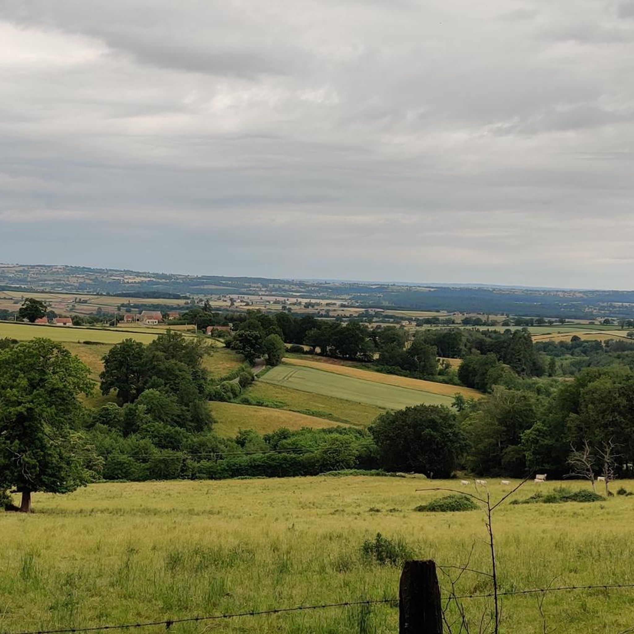
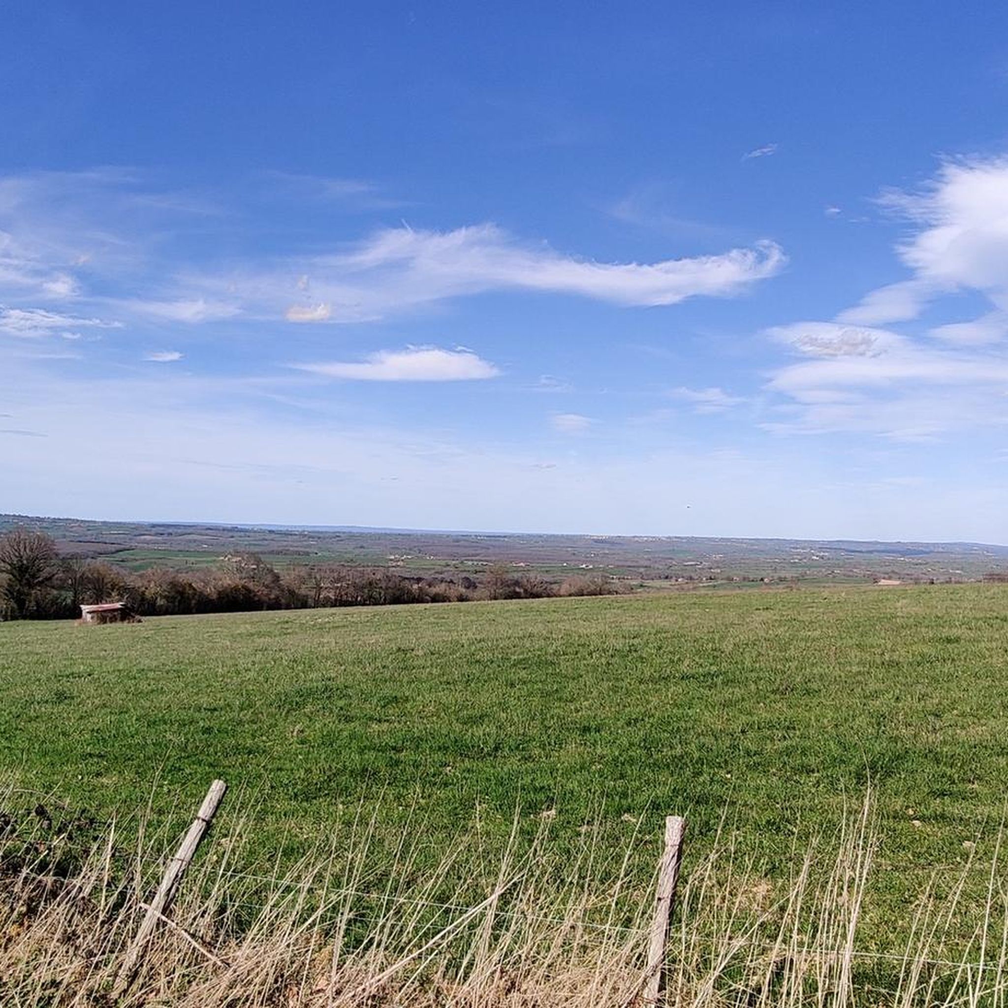
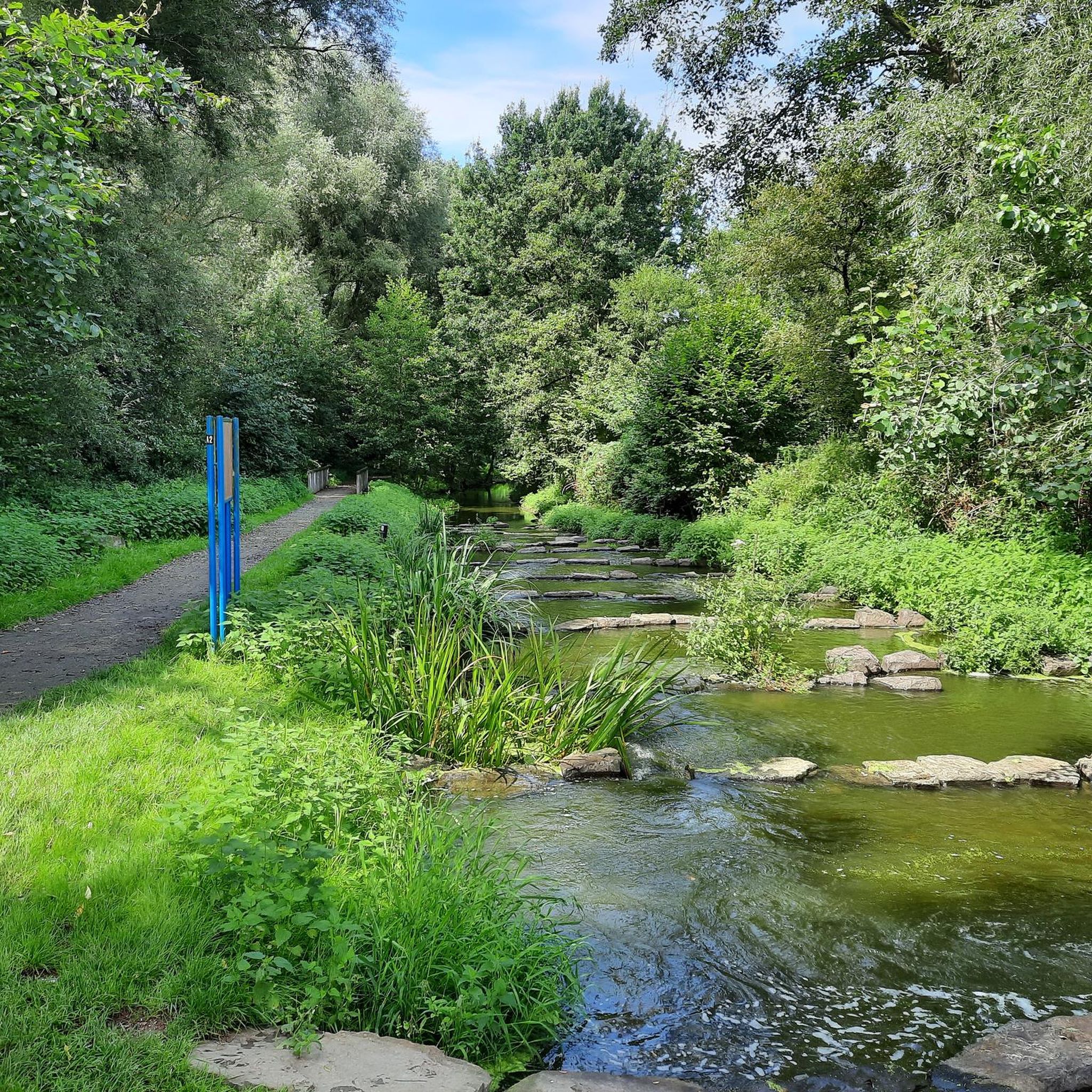
Hiking trails around Buxières-Sous-Montaigut traverse a varied landscape characterized by forests, water features, and unique geological formations within the Puy-de-Dôme department. The region offers a mix of natural environments, including the extensive Forêt Domaniale du Quartier and several lakes. Hikers can explore paths alongside streams like the Ruisseau de Bort and discover interesting granite chaos formations.
Best hiking trails around Buxières-Sous-Montaigut
- The most popular hiking route is Étang de Chez Minard loop from Ars-les-Favets, a 4.1 miles (6.6 km)…
Last updated: September 3, 2026
4.5
(4)
12
hikers
6.56km
01:50
130m
130m
Easy hike. Great for any fitness level. Easily-accessible paths. Suitable for all skill levels.
4.6
(5)
10
hikers
16.4km
04:37
320m
320m
Moderate hike. Good fitness required. Easily-accessible paths. Suitable for all skill levels.

Sign up for free
4.5
(2)
9
hikers
Moderate hike. Good fitness required. Easily-accessible paths. Suitable for all skill levels.
3.0
(1)
4
hikers
7.36km
02:00
110m
100m
Easy hike. Great for any fitness level. Easily-accessible paths. Suitable for all skill levels.
5.0
(2)
6
hikers
12.4km
03:29
250m
250m
Moderate hike. Good fitness required. Easily-accessible paths. Suitable for all skill levels.
Get access to more routes and recommendations from other explorers.
Sign up for free
Already have an account?
Our route recommendations are based on thousands of hikes, rides, and runs completed by other people on komoot.
Start today with a free account
Your next adventure awaits.
Login or Signup

Tips from the Community

Bathing area suitable for families
1
0
Wide, easy paths, few people, lots of nature. Great for just letting your soul unwind.
1
0

Nice round to walk in the evening at the end of a hot day.
1
0
Frequently Asked Questions
How many hiking trails are available around Buxières-Sous-Montaigut?
There are over 60 hiking trails in the Buxières-Sous-Montaigut area, offering a diverse range of experiences. These routes traverse varied landscapes, including dense forests, tranquil lakes, and unique geological features.
Are there easy hiking options suitable for families or casual walkers?
Yes, Buxières-Sous-Montaigut offers 23 easy hiking routes. A great option is the Étang de Chez Minard loop from Ars-les-Favets, which is 4.1 miles (6.6 km) long and circles the scenic Étang de Chez Minard, perfect for a relaxed outing.
Can I find circular hiking routes in the region?
Many of the trails around Buxières-Sous-Montaigut are circular, allowing you to start and end at the same point. For example, the Rundweg um den See – Forêt Domaniale du Quartier loop from Saint-Éloy-les-Mines offers a comprehensive exploration of the Forêt Domaniale du Quartier.
What kind of natural attractions can I expect to see on the trails?
The region is rich in natural beauty. You can discover unique geological formations like "Chaos granitiques" and "Cuviers de la Faye." Water features are also prominent, with trails leading around lakes such as Lac de Servant and along the Ruisseau de Bort. The extensive Forêt Domaniale du Quartier provides ample opportunities for forested walks.
Are there any viewpoints or panoramic spots along the hikes?
While specific viewpoints on individual trails are not detailed, the broader region offers elevated perspectives. The "Panorama au bourg de Hyds" and "Belvédère - Château Rocher" are known for their scenic vistas, allowing you to appreciate the diverse landscape of the Puy-de-Dôme department.
Are the hiking trails in Buxières-Sous-Montaigut dog-friendly?
Many trails in the Buxières-Sous-Montaigut area are suitable for dogs, especially those through the forests and around the lakes. It's always recommended to keep dogs on a leash, especially near livestock or in protected natural areas, and to check local signage for any specific restrictions.
What is the best time of year to go hiking in this area?
The Auvergne region, including Buxières-Sous-Montaigut, is generally pleasant for hiking from spring through autumn. Spring brings blooming flora, while autumn offers vibrant foliage. Summer is also popular, but it's advisable to start early to avoid the midday heat. Winter hikes are possible, especially in the forests, but require appropriate gear.
Are there any challenging or difficult trails for experienced hikers?
Yes, for those seeking a more strenuous experience, there are 2 difficult trails available. The majority of routes are easy or moderate, but these more challenging options provide a greater test of endurance and skill through the varied terrain.
What do other hikers say about the trails in Buxières-Sous-Montaigut?
The hiking routes in Buxières-Sous-Montaigut are highly rated by the komoot community, with an average score of 4.6 stars from over 70 reviews. Hikers often praise the quiet woodlands, tranquil lakes, and the well-maintained paths that make for enjoyable exploration.
Are there any notable landmarks or historical sites near the hiking routes?
Beyond natural beauty, the area features interesting landmarks. You can visit the Viaduc de la Bouble, an impressive bridge, or the Puits II Mining Monument, which offers a glimpse into the region's industrial past. The Fontaine Saint-Patrocle is another natural monument worth exploring.
Is there parking available at the trailheads?
While specific parking details for every trailhead are not listed, many routes in the Buxières-Sous-Montaigut area, especially those starting from villages like Ars-les-Favets, Saint-Éloy-les-Mines, or Montaigut-en-Combraille, typically have designated parking areas nearby to accommodate hikers.
Can I access hiking trails using public transport in Buxières-Sous-Montaigut?
Accessing all trailheads directly by public transport might be limited given the rural nature of Buxières-Sous-Montaigut. However, main towns like Saint-Éloy-les-Mines or Montaigut-en-Combraille, which serve as starting points for several routes, may have local bus services. It's advisable to check regional transport schedules for specific connections.
Most popular routes around Buxières-Sous-Montaigut
Most popular attractions around Buxières-Sous-Montaigut

Get inspired with the komoot mobile app


Explore more
Browse the best Hikes in other regions.
