The best walks and hikes around Rotherens
4.6
(294)
3,296
hikers
118
hikes
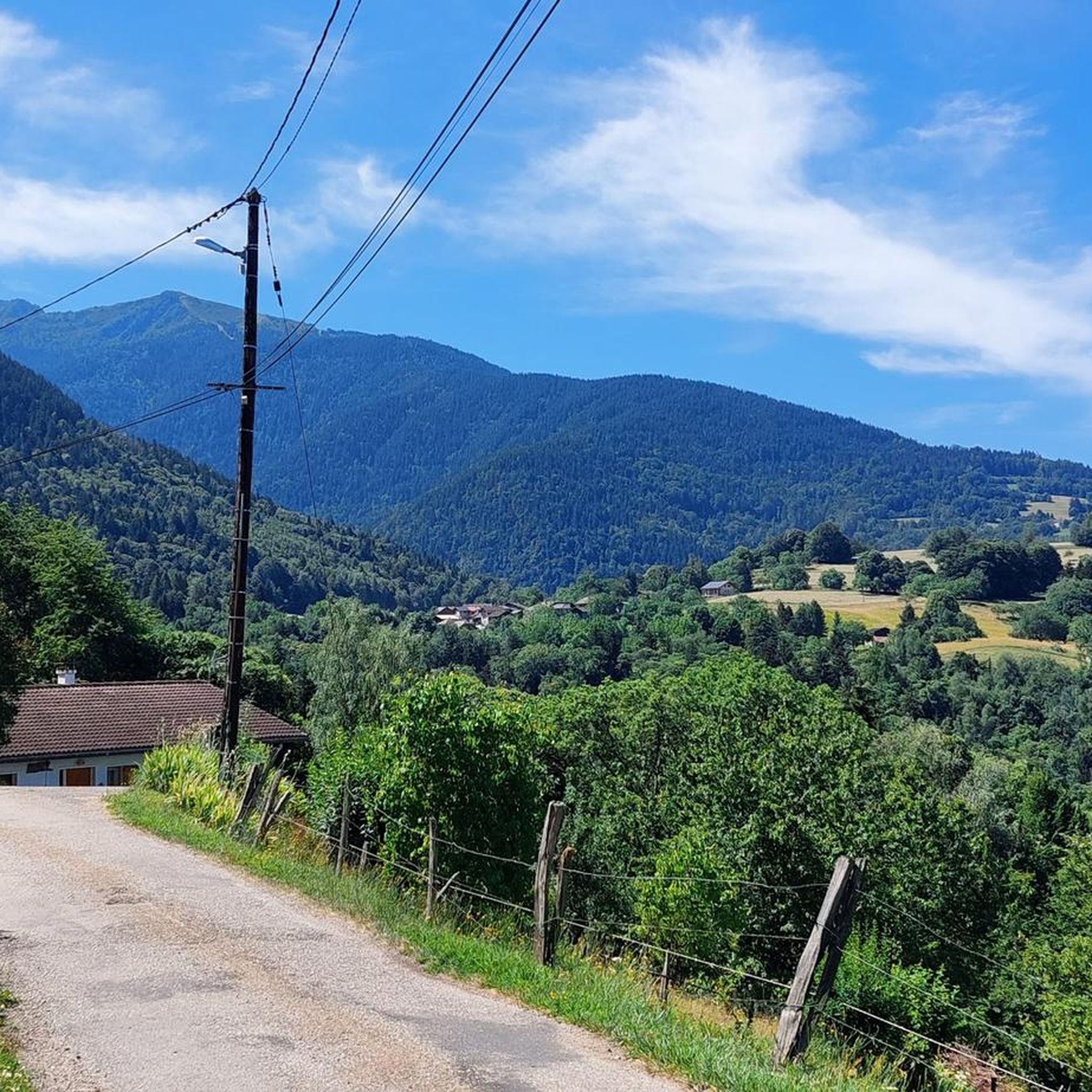
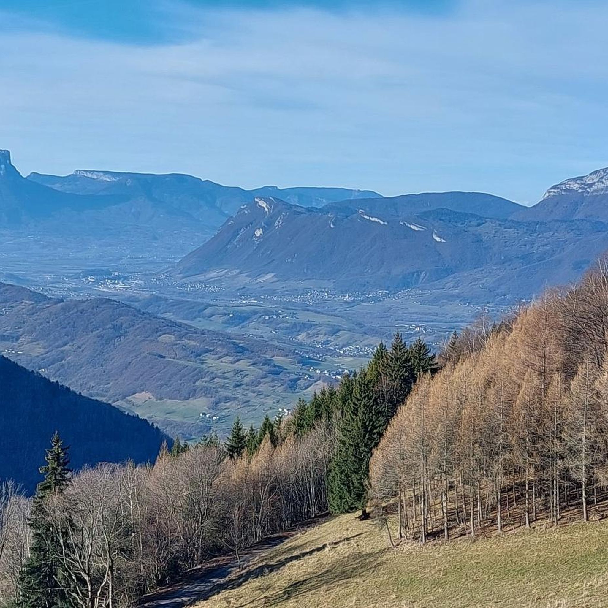
Hiking around Rotherens offers diverse natural landscapes within the Savoie department of France. The region is characterized by impressive mountainous terrain, including proximity to Mont Granier and the Massif des Bauges and Chartreuse Regional Natural Parks. These areas feature preserved ecosystems, extensive trail networks, and varied terrain suitable for exploration.
Best hiking trails around Rotherens
- The most popular hiking route is Arbarétan Pass – Col de la Perche loop from Le Verneil, a 7.4 miles (11.9 km) trail that…
Last updated: July 1, 2026
5.0
(2)
27
hikers
11.9km
04:51
800m
800m
Moderate hike. Good fitness required. Mostly accessible paths. Sure-footedness required.
4.9
(8)
54
hikers
8.53km
02:42
330m
330m
Moderate hike. Good fitness required. Easily-accessible paths. Suitable for all skill levels.

Sign up for free
10
hikers
7.36km
02:11
220m
220m
Moderate hike. Good fitness required. Easily-accessible paths. Suitable for all skill levels.
4.8
(4)
25
hikers
7.35km
02:23
210m
210m
Moderate hike. Good fitness required. Mostly accessible paths. Sure-footedness required.
7
hikers
10.00km
03:25
470m
470m
Moderate hike. Good fitness required. Mostly accessible paths. Sure-footedness required.
Get access to more routes and recommendations from other explorers.
Sign up for free
Already have an account?
Our route recommendations are based on thousands of hikes, rides, and runs completed by other people on komoot.
Start today with a free account
Your next adventure awaits.
Login or Signup



Tips from the Community

just magnificent, keep it secret or almost....
0
0

It is a surprise to arrive at this vertical rock face, the quarry, with the clear view on the left, dominating Detrier below and the Moutaret further to the left. It is a beautiful little valley that can only be seen from above. From there, a hiking trail leads to the chapel of Ste Marguerite before going back down to Arvillard on the other side of Mont Pézard.
0
0

Refuge three well renew
0
0

The Col de Cochette from La Trinité is 2.99 km long with a total drop of 237 m. The average gradient is 7.9% with maximum gradients of 10%. From Villard-d'Héry, it is 1.89 km with an average gradient of 7.8%. There is a total drop of 148m.
2
0

Col la Perche is located at an altitude of 1,986 meters, between Pointe de Rognier (2,341 meters) and Chapotet (2,083 meters).
0
0
It is a superb passage, at an altitude of 1,850 meters. The panorama opens onto the Lauzière chain, Mont Blanc and Pointe de Rognier. A small lake is at the level of the pass, it is the lake of the Frogs.
0
0
Frequently Asked Questions
How many hiking trails are available around Rotherens?
There are over 110 hiking trails around Rotherens, offering a wide range of options for different skill levels and preferences. The komoot community has extensively explored these routes, providing valuable insights and ratings.
What kind of landscapes can I expect to see while hiking near Rotherens?
The Rotherens area, situated in the Savoie department, is characterized by impressive mountainous terrain, dense forests, and access to the Massif des Bauges and Chartreuse Regional Natural Parks. You'll encounter diverse ecosystems, panoramic views of surrounding massifs like Mont Blanc, and serene natural beauty, including mountain passes and varied geological formations.
Are there easy hiking trails suitable for beginners or casual walkers?
Yes, Rotherens offers a good selection of easier trails. There are 19 easy routes available, perfect for beginners or those looking for a relaxed stroll. An example is the La Bathie track loop from Villaroux, a moderate 7.3 km trail that takes about 2 hours 10 minutes through forests and villages.
Can I find challenging hikes with significant elevation gain around Rotherens?
Absolutely. For experienced hikers seeking a challenge, there are 23 difficult routes available. The region's proximity to peaks like Mont Granier and the high-altitude passes like Col de la Croix-de-Fer suggests opportunities for strenuous ascents and rewarding panoramic views.
Are there any circular hiking routes near Rotherens?
Many of the trails around Rotherens are designed as circular routes, allowing you to start and end at the same point. For instance, the popular Arbarétan Pass – Col de la Perche loop from Le Verneil is a 11.9 km moderate trail offering scenic mountain pass views. Another option is the Lac Saint Clair – La carrière loop from Détrier, which features a lake and varied terrain.
What natural landmarks or points of interest can I discover on hikes near Rotherens?
While hiking near Rotherens, you can explore several notable natural landmarks. These include mountain passes such as Marocaz Pass, Col du Grand Cucheron, and Col de Champlaurent. The region also features diverse terrain like the Roc de Chere, offering varied landscapes for exploration.
Are the hiking trails around Rotherens suitable for families with children?
Yes, the Rotherens area offers trails suitable for families. While specific 'family-friendly' designations aren't always explicit, the presence of 19 easy routes and moderate loops like the La Bathie track loop from Villaroux, which passes through villages and forests, can be enjoyable for children. Always check the distance and elevation gain to match your family's capabilities.
Are there dog-friendly hiking trails in the Rotherens region?
Many trails in the Rotherens region are suitable for dogs, especially those through forests and less crowded areas. However, it's always recommended to keep dogs on a leash, particularly in protected areas like the Massif des Bauges and Chartreuse Regional Natural Parks, and to be mindful of local regulations and livestock. Always carry water for your dog.
What is the best time of year to go hiking in the Rotherens area?
The best time for hiking in Rotherens generally spans from spring to autumn. During these seasons, the weather is milder, and trails are more accessible. Spring brings blooming flora, while autumn offers vibrant fall colors. Summer is also popular, but higher altitudes might be preferable to avoid heat. Winter hiking is possible, but requires appropriate gear and awareness of snow conditions.
Is parking available at the trailheads around Rotherens?
While specific parking information for every trailhead isn't provided, it's common for popular hiking areas in France to have designated parking spaces near trail starts, especially for routes originating from villages or specific points of interest. We recommend checking the individual route details on komoot for more precise parking suggestions or looking for public parking in nearby towns like Le Verneil or Détrier.
What do other hikers enjoy the most about hiking in Rotherens?
The komoot community highly rates the hiking experience in Rotherens, with an average score of 4.5 stars from over 300 reviews. Hikers frequently praise the diverse natural landscapes, the well-maintained trail networks, and the stunning panoramic views, including glimpses of Mont Blanc. The variety of routes, from moderate loops to challenging ascents, is also a highlight.
Can I combine hiking with other activities near Rotherens?
Yes, the Rotherens region offers opportunities to combine hiking with other activities. Its proximity to the Massif des Bauges and Chartreuse Regional Natural Parks means you can explore preserved ecosystems. While further afield, the option of visiting Lac d'Annecy allows for combining mountain hikes with lakeside activities and scenic views.
Most popular attractions around Rotherens

Get inspired with the komoot mobile app


Explore more
Browse the best Hikes in other regions.
