The best walks and hikes around Mamirolle
4.4
(569)
4,075
hikers
152
hikes
Hiking around Mamirolle offers a variety of trails through the French countryside. The region is characterized by rolling hills, forested areas, and open landscapes, providing diverse terrain for hikers. Elevation changes are generally moderate, making many routes accessible. The area features a mix of natural scenery and historical points of interest.
Best hiking trails around Mamirolle
- The most popular hiking route is The Fountain – Saint Maximin Chapel loop from Franche-Comté, a 3.6 miles (5.8 km) trail that takes…
Last updated: October 12, 2026
14
hikers
5.60km
01:32
90m
90m
Easy hike. Great for any fitness level. Easily-accessible paths. Suitable for all skill levels.
14
hikers
Easy hike. Great for any fitness level. Easily-accessible paths. Suitable for all skill levels.

5.0
(2)
16
hikers
4.70km
01:14
40m
30m
Easy hike. Great for any fitness level. Easily-accessible paths. Suitable for all skill levels.
4.0
(1)
8
hikers
10.4km
02:57
230m
230m
Moderate hike. Good fitness required. Easily-accessible paths. Suitable for all skill levels.
3.8
(5)
11
hikers
7.49km
01:57
50m
50m
Easy hike. Great for any fitness level. Easily-accessible paths. Suitable for all skill levels.
Get access to more routes and recommendations from other explorers.
Already have an account?
Our route recommendations are based on thousands of hikes, rides, and runs completed by other people on komoot.
Start today with a free account
Your next adventure awaits.
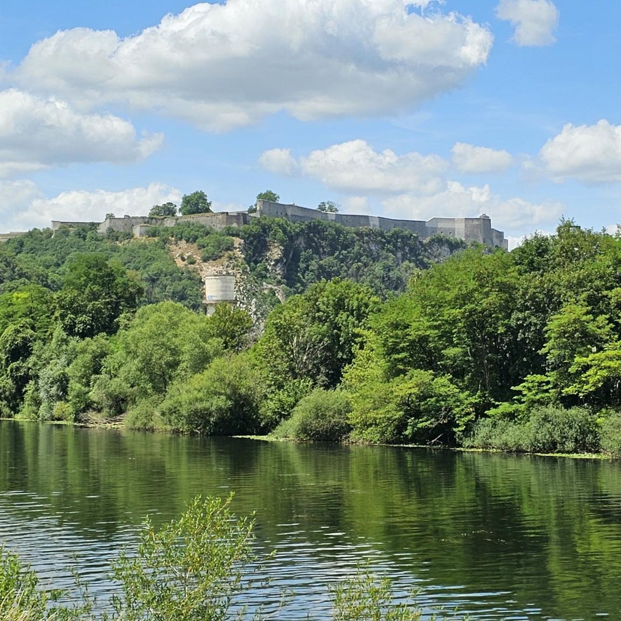
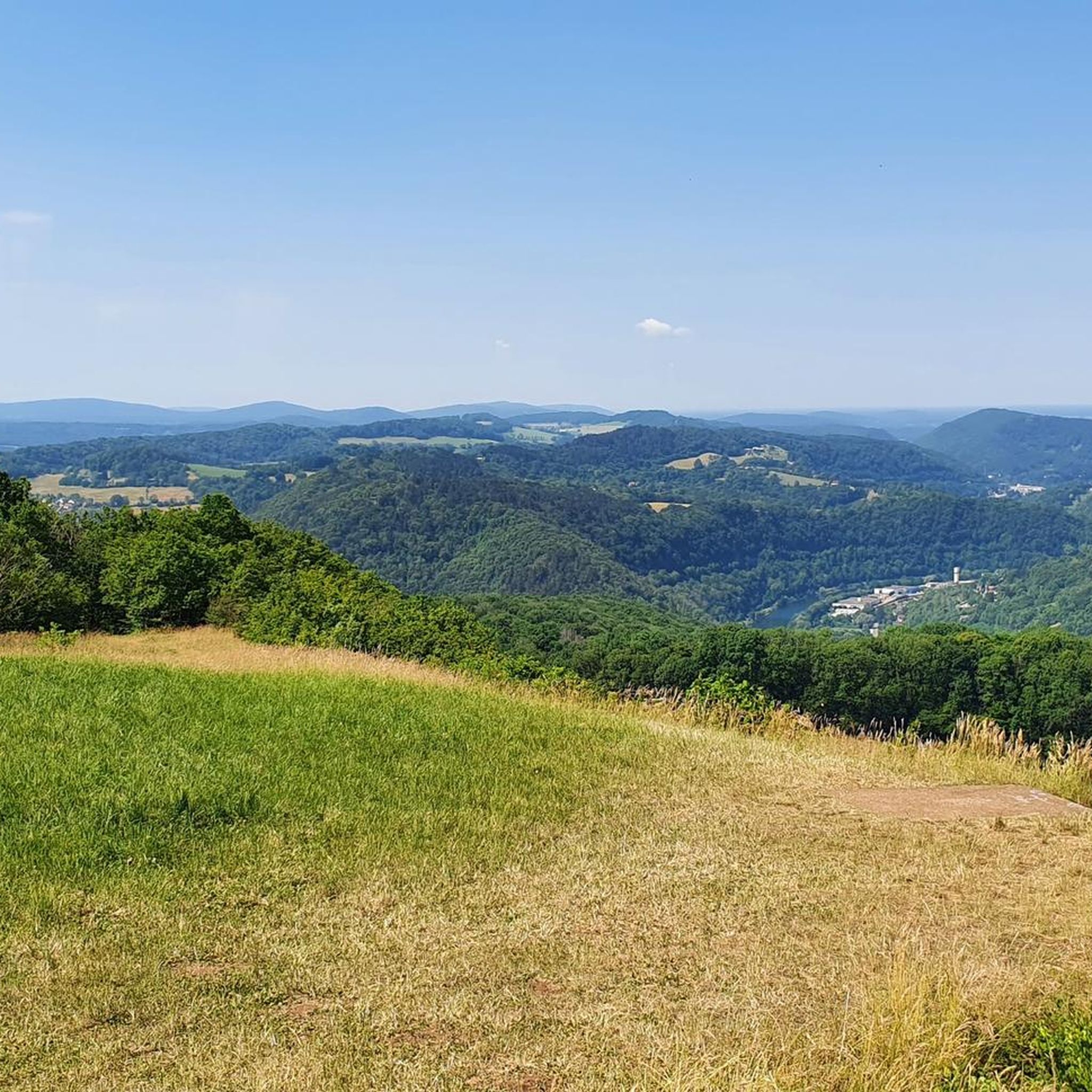

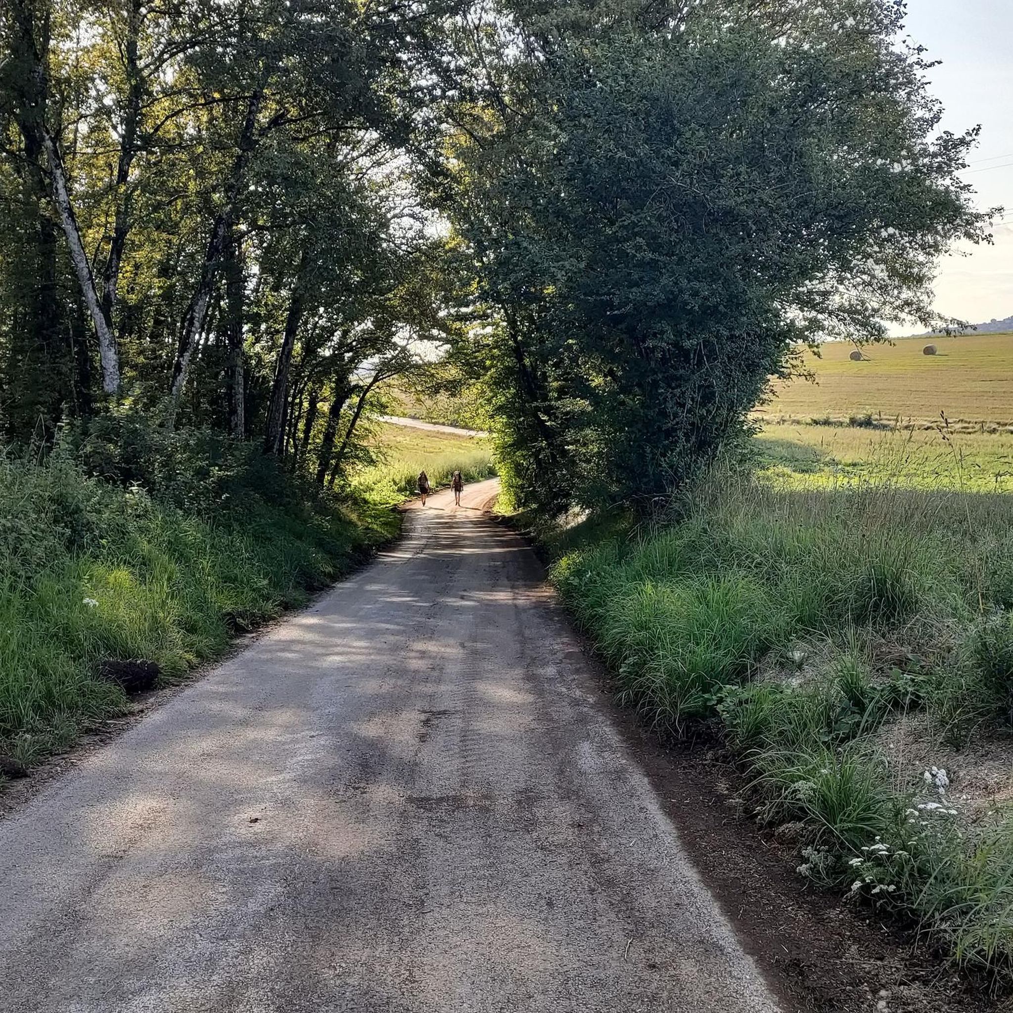
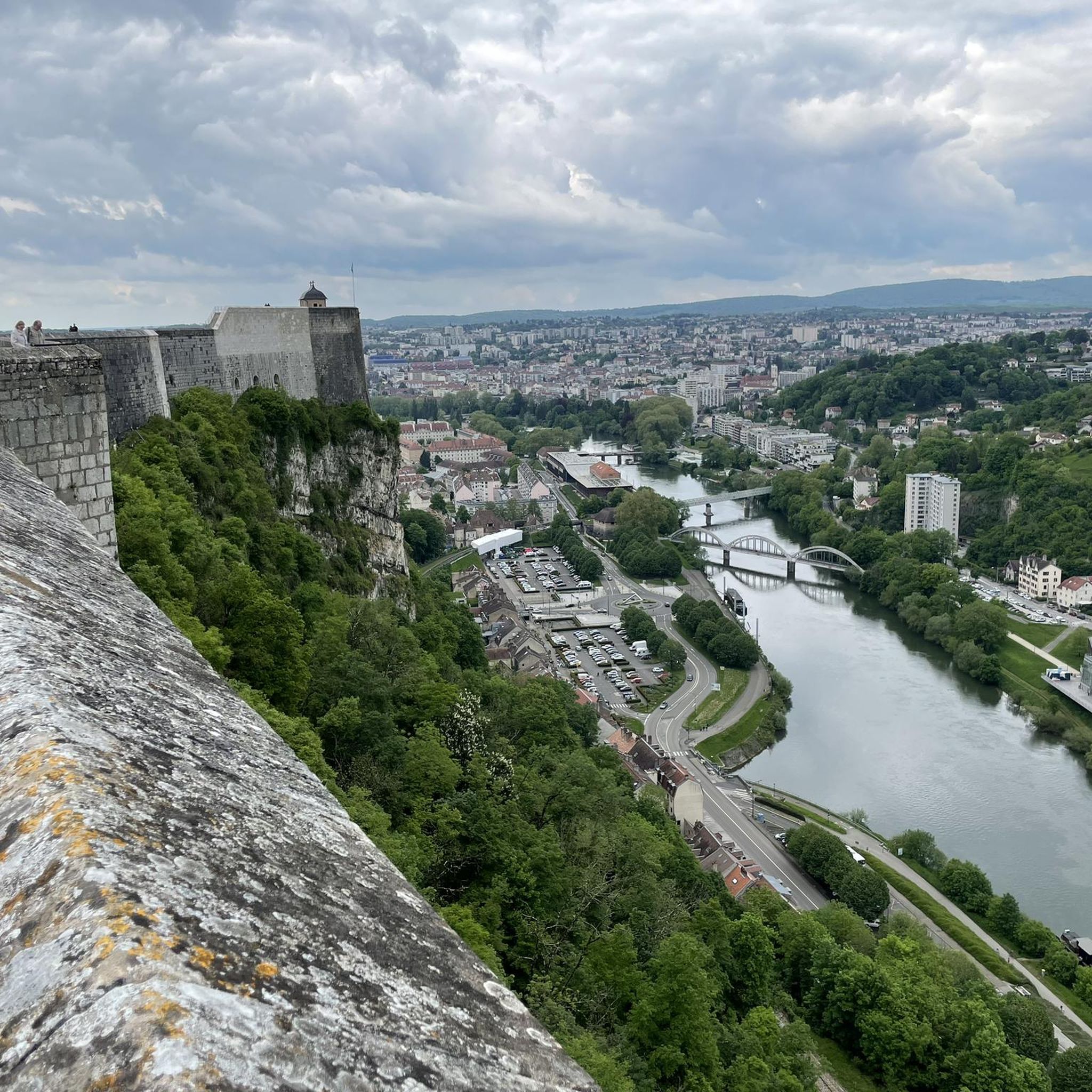
Tips from the Community

to visit with family if the weather is nice.
0
0

Very nice open-air museum
0
0


Beautiful viewpoint
0
0
Snack area with 2 tables and benches
0
0

Museum on 16 hectares allowing you to admire 35 typical buildings of Franche-Comté dating from the 17th to the 19th century and which have all been gradually dismantled and rebuilt in Nancray since 1984. They bear witness to construction but also to life in the region over the centuries.
0
0

beautiful view rather cool at sunset!
0
0
Frequently Asked Questions
How many hiking trails are available around Mamirolle?
There are over 140 hiking trails around Mamirolle, offering a wide range of options for different skill levels and preferences. The komoot community has recorded more than 3,700 tours in the area.
Are there easy hiking trails suitable for beginners or families in Mamirolle?
Yes, Mamirolle offers many easy trails. Approximately 49 routes are classified as easy. A good option is the Hiking loop from Nancray, which is 2.9 miles (4.7 km) long and generally takes about 1 hour 14 minutes to complete.
Are there any challenging or advanced hiking routes in Mamirolle?
While Mamirolle is known for its moderate terrain, there are 11 routes classified as difficult for those seeking a greater challenge. These trails typically feature more significant elevation changes or longer distances.
Are there circular hiking routes around Mamirolle?
Yes, many of the trails around Mamirolle are circular, allowing you to start and end at the same point. Examples include The Fountain – Saint Maximin Chapel loop from Franche-Comté and the Belvédère des Grateris loop from Mamirolle.
What kind of natural sights or viewpoints can I expect on the trails?
The region features rolling hills and forested areas, often leading to scenic viewpoints. You can find highlights such as the View of Roche Bottine and the Source of Arcier. The Saint Maximin Chapel – Belvédère des Grateris loop from Trépot specifically offers views from the Belvédère des Grateris.
Are there any waterfalls to see while hiking in Mamirolle?
Yes, the area around Mamirolle features natural monuments including waterfalls. You can visit the Bout du Monde Waterfall, which is a notable natural attraction.
What historical sites or landmarks can be found along the hiking routes?
Mamirolle's trails often connect natural scenery with historical points of interest. You can explore sites like the Liberation Monument and the State Major Fountain. The The Fountain – Saint Maximin Chapel loop from Franche-Comté specifically connects historical sites.
What do other hikers enjoy most about hiking in Mamirolle?
The hiking routes in Mamirolle are highly rated by the komoot community, with an average score of 4.5 stars from over 400 reviews. Hikers often praise the diverse terrain, which includes rolling hills, forest paths, and scenic viewpoints, catering to various ability levels.
Is Mamirolle a good destination for winter hiking?
While the region offers diverse terrain, winter conditions can vary. It's advisable to check local weather forecasts and trail conditions before planning a winter hike, as some paths may become slippery or require specific gear.
Are there any hikes that pass by museums or cultural attractions?
Yes, some routes offer cultural points of interest. For instance, the The Maisons Comtoises Museum loop from Nancray takes you past the Maisons Comtoises Museum, offering a blend of nature and local heritage.
Are there options for longer, moderate hikes in the area?
Yes, Mamirolle has a good selection of moderate hikes, with about 80 routes in this category. These trails typically offer a balance of distance and elevation, such as the Belvédère des Grateris loop from Mamirolle, which is 9.5 km (5.9 miles) long.
Most popular routes around Mamirolle
Most popular attractions around Mamirolle

Get inspired with the komoot mobile app


Explore more
Browse the best Hikes in other regions.
