The best walks and hikes around Maxstadt
4.4
(707)
3,184
hikers
210
hikes
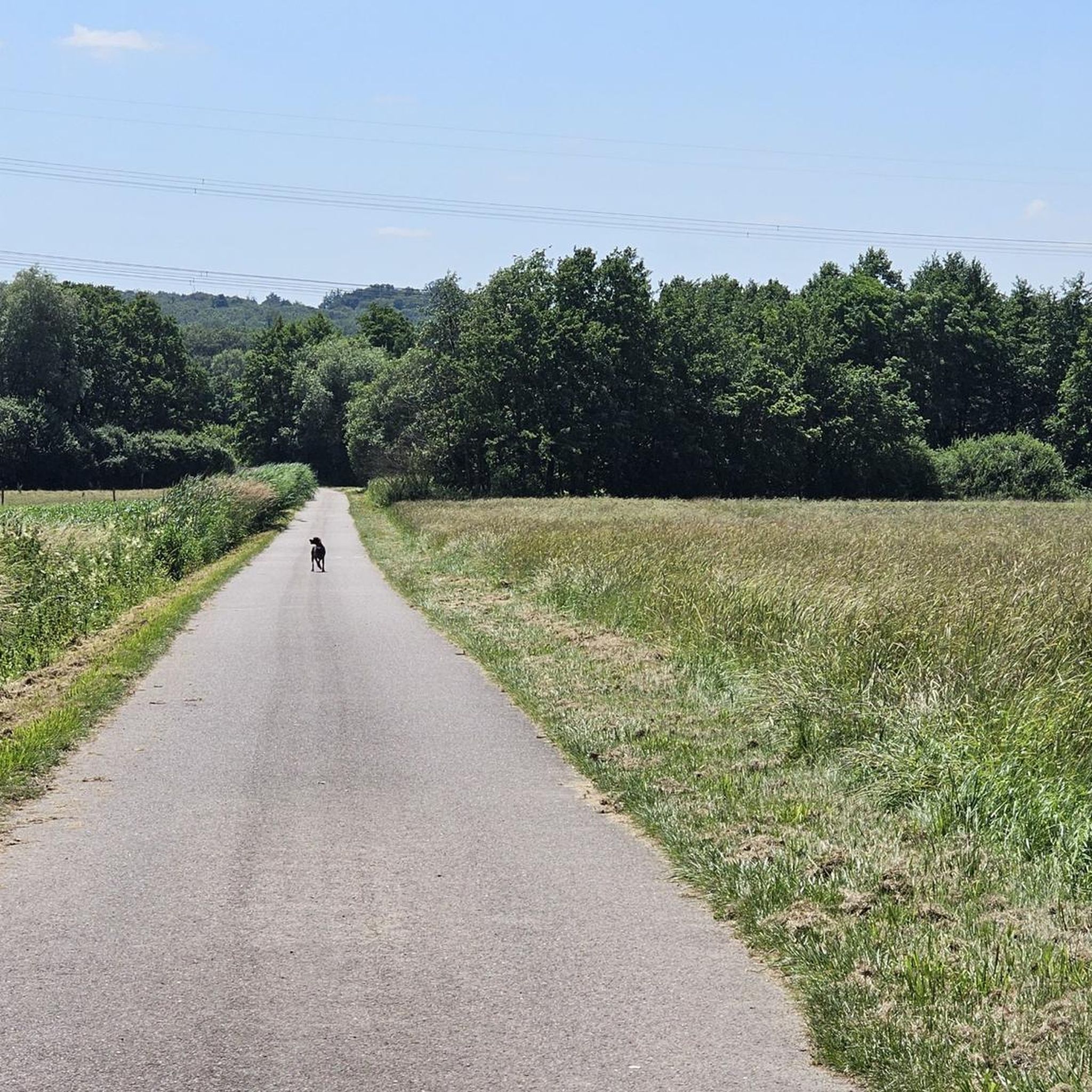
Hiking around Maxstadt offers a diverse landscape characterized by numerous ponds, dense woodlands, and gentle elevation changes. The region features a network of trails that traverse both natural areas and historical points of interest. Hikers can expect paths winding through forests and alongside water bodies, providing varied terrain for exploration. This area provides options for both leisurely walks and more challenging excursions.
Best hiking trails around Maxstadt
- The most popular hiking route is Historic fountain – Lower Hoste Pond loop…
Last updated: July 5, 2026
4.9
(8)
28
hikers
12.9km
03:23
90m
90m
Moderate hike. Good fitness required. Easily-accessible paths. Suitable for all skill levels.
4.8
(9)
29
hikers
7.69km
02:00
50m
50m
Moderate hike. Good fitness required. Easily-accessible paths. Suitable for all skill levels.

Sign up for free
4.3
(4)
20
hikers
20.3km
05:20
170m
170m
Hard hike. Very good fitness required. Easily-accessible paths. Suitable for all skill levels.
5.0
(5)
12
hikers
12.0km
03:10
110m
110m
Moderate hike. Good fitness required. Easily-accessible paths. Suitable for all skill levels.
5.0
(2)
8
hikers
12.8km
03:23
110m
110m
Moderate hike. Good fitness required. Easily-accessible paths. Suitable for all skill levels.
Get access to more routes and recommendations from other explorers.
Sign up for free
Already have an account?
Our route recommendations are based on thousands of hikes, rides, and runs completed by other people on komoot.
Start today with a free account
Your next adventure awaits.
Login or Signup

Tips from the Community

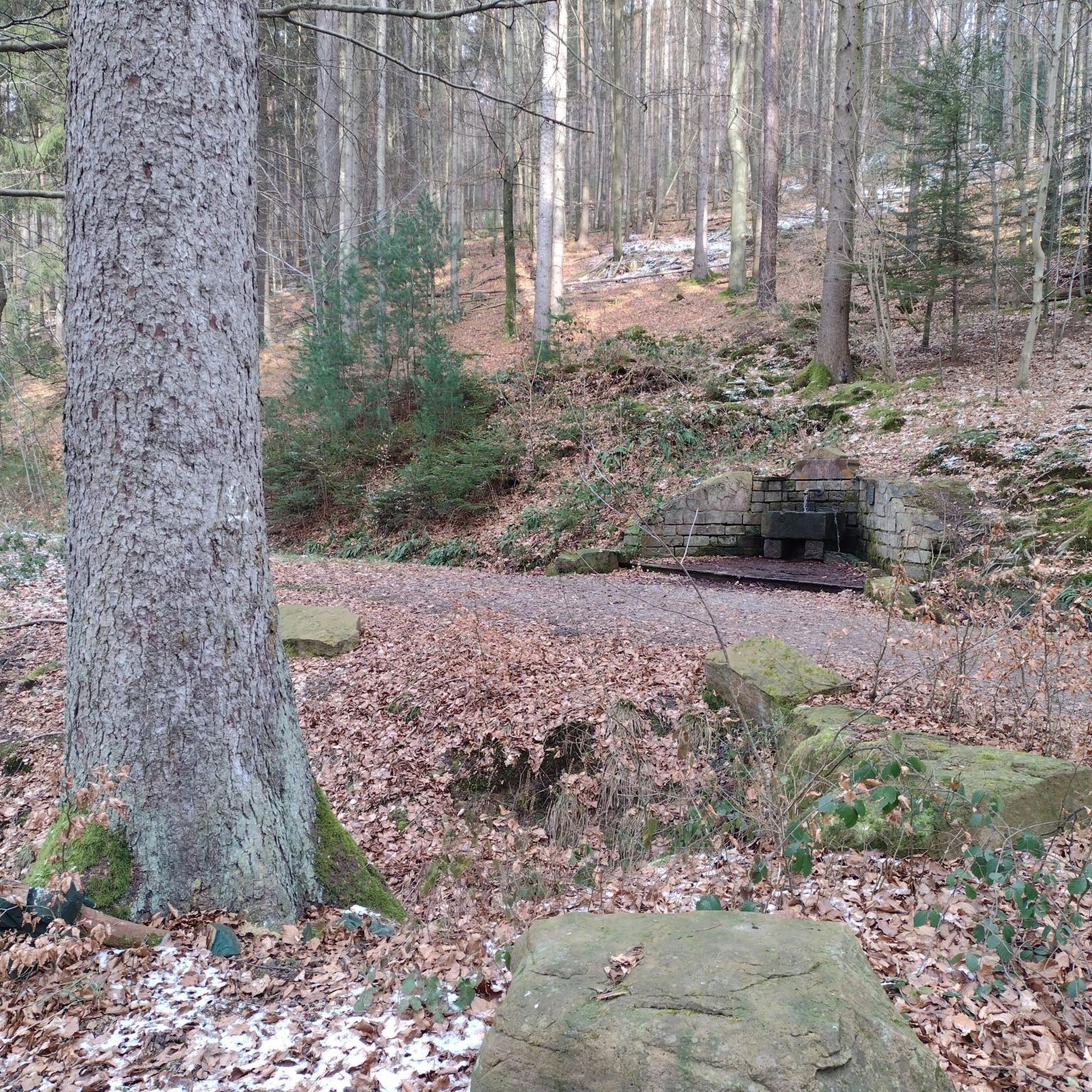
The history of the picturesque Bonne Fontaine chapel in Hoste began in 1799, when a Marian apparition occurred near a spring, in front of a deaf-mute child, who was cured. Other stories of healing quickly appeared and large pilgrimages were organized, in the context of the French Revolution, which did not appreciate these crowd movements. In 1848, a Calvary was erected, then the spring was developed. Finally, at the dawn of the First World War, the chapel was erected to receive the religious fervor aroused by this place steeped in both belief and legend.
1
0

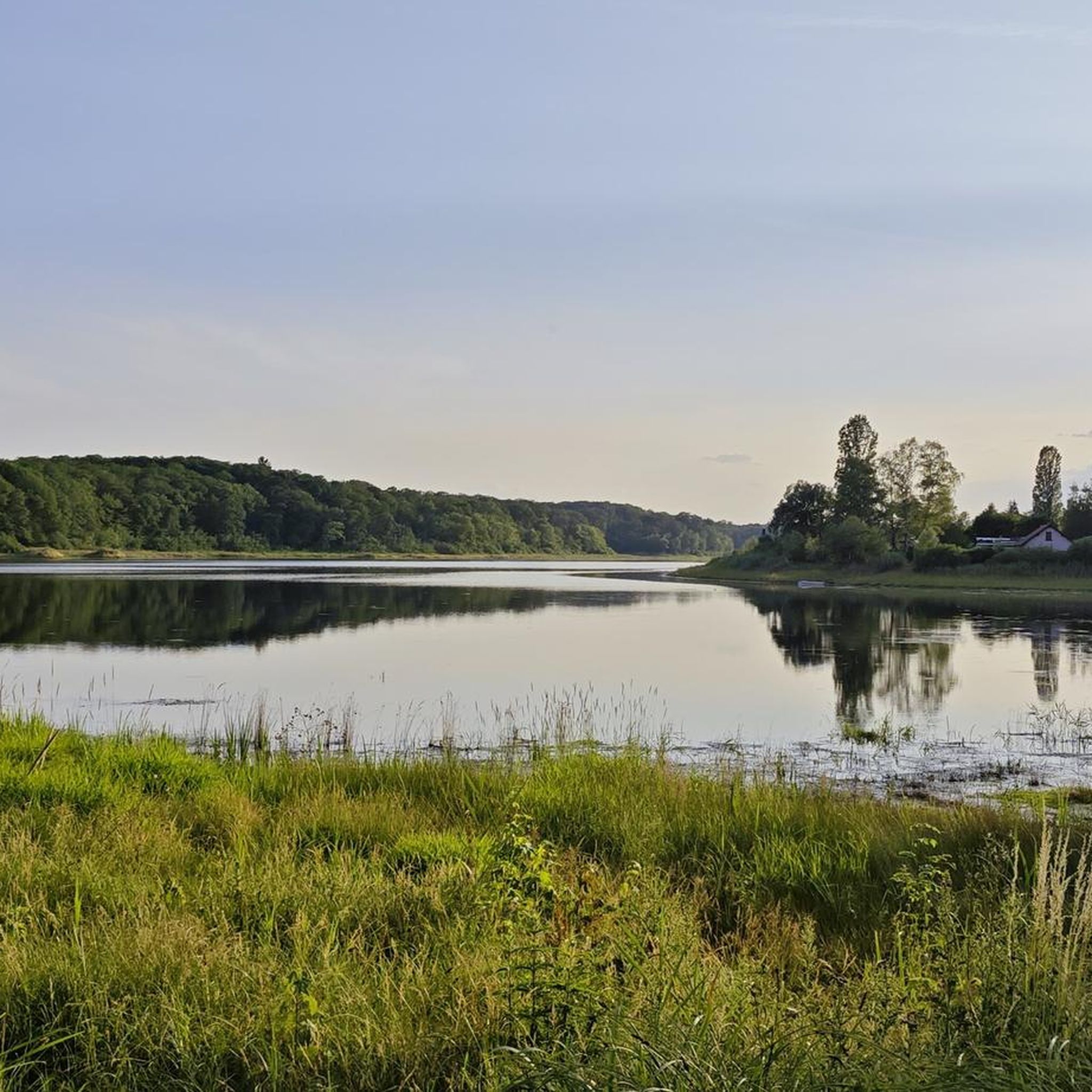
The Hoste Bas pond borders the Hoste Haut pond. It was part of the Maginot Line defense system. Today, they are home to numerous species of fish, much to the delight of anglers.
0
1

A pleasant setting for a stroll between the water and the forest. The lake is a kilometer and a half long.
0
0


nice place to take a break in nature Here you can watch geese, ducks and birds.
0
0

Some walking routes start from here, as you can see on the tag. The area is very beautiful
0
0
Nice place to let off steam with a view of the lake
0
0
Frequently Asked Questions
What types of hiking trails can I find around Maxstadt?
Maxstadt offers a diverse network of over 200 hiking trails, characterized by numerous ponds, dense woodlands, and gentle elevation changes. You'll find paths winding through forests and alongside water bodies, suitable for both leisurely walks and more challenging excursions.
Are there easy hiking trails suitable for beginners or families in Maxstadt?
Yes, Maxstadt has a good selection of easy trails. There are 74 easy routes available, perfect for beginners or families looking for a relaxed outing. These trails often feature gentle terrain and scenic views of the local ponds and forests.
Are there any circular hiking routes in Maxstadt?
Many of the trails around Maxstadt are designed as circular routes, allowing you to start and end at the same point. An example is the Historic fountain – Lower Hoste Pond loop from Barst, which circles the Lower Hoste Pond.
What are some scenic viewpoints or natural attractions to see on a hike in Maxstadt?
The region is known for its beautiful ponds and woodlands. You can enjoy lake views along routes like the Bench With Lake View – Forest Bunker loop from Leyviller. Other natural highlights include Lower Hoste Pond and Diefenbach Pond.
Are there any historical landmarks or points of interest along the hiking trails?
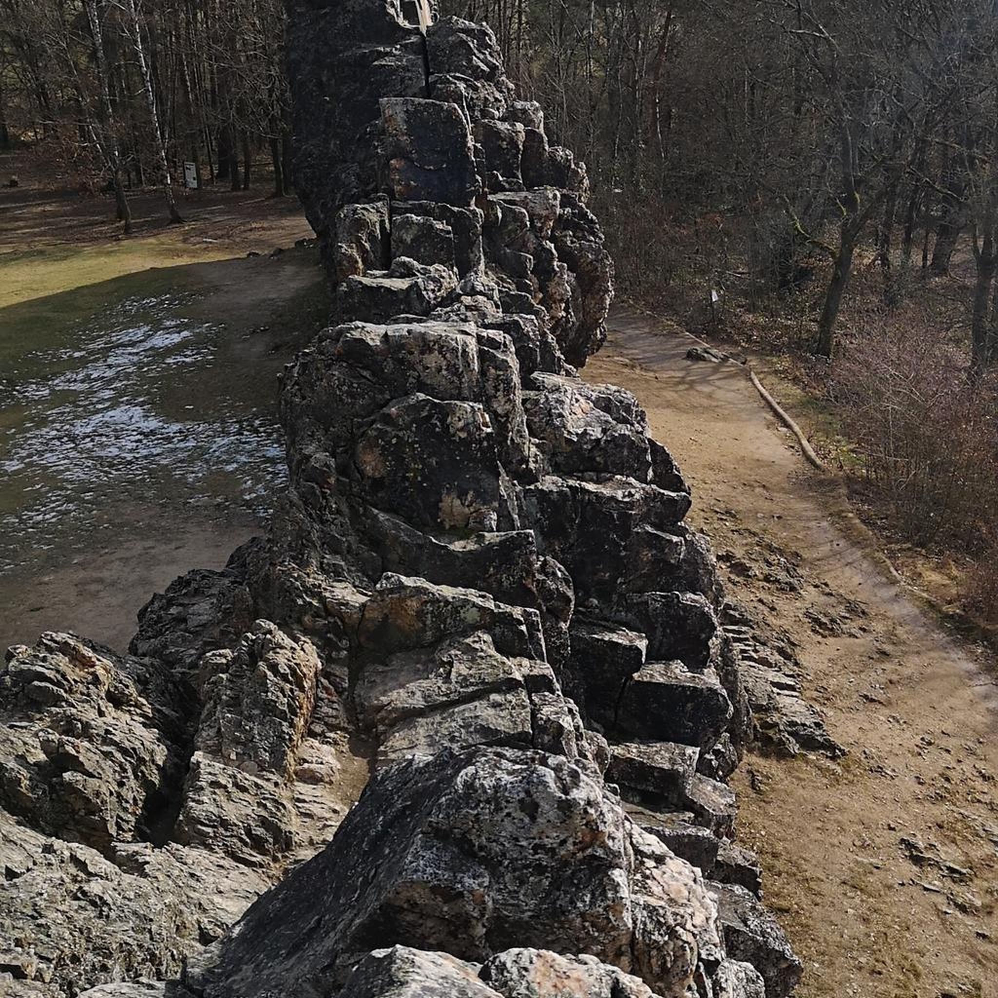
Yes, Maxstadt's trails often pass by historical features. For instance, the Bench With Lake View – Forest Bunker loop from Leyviller leads past a historical bunker. Other notable sites in the area include the Farébersviller Memorial and Stone Bridge and the Bonne Fontaine Chapel and Spring of Hoste.
What is the typical duration for hikes around Maxstadt?
Hike durations vary widely depending on the route's length and difficulty. For example, a moderate trail like The chapel – Hoste-Haut Pond loop from Cappel takes about 2 hours, while a more challenging one like the Bench With Lake View – Forest Bunker loop from Leyviller can take over 5 hours.
Are there challenging hikes for experienced hikers in Maxstadt?
Absolutely. For those seeking a more strenuous experience, Maxstadt offers 12 difficult trails. These routes typically feature longer distances and more significant elevation changes, providing a good workout amidst the region's natural beauty.
What do other hikers say about the trails in Maxstadt?
The hiking trails in Maxstadt are highly regarded by the komoot community, with an average rating of 4.4 out of 5 stars from over 550 reviews. Hikers often praise the peaceful atmosphere, varied scenery, and well-maintained paths that wind through forests and past serene ponds.
Are there any trails that offer a pub lunch or refreshment stop along the way?
While specific pub lunch stops are not detailed for every route, many trails pass through or near villages where you can find local eateries. It's advisable to check the route details or local maps for refreshment options before you set out.
Can I access hiking trails in Maxstadt using public transport?
Information on specific public transport access points for each trailhead is best found by checking local transport schedules for the villages near the starting points of the routes you are interested in. Many routes begin from towns like Barst, Cappel, or Leyviller.
What is the best time of year for hiking in Maxstadt?
The region's diverse landscape of ponds and woodlands makes it enjoyable throughout much of the year. Spring and autumn offer pleasant temperatures and beautiful scenery, while summer is ideal for longer days. Winter hiking is also possible, though conditions may vary.
Are there any trails that are particularly good for wildlife spotting?
Given the dense woodlands and numerous ponds, Maxstadt's trails offer opportunities for wildlife observation. Keep an eye out for local bird species near the water bodies and various forest animals while traversing the wooded sections of routes like the Rest Area by the Pond – Diefenbach Pond loop from Leyviller.
Most popular attractions around Maxstadt

Get inspired with the komoot mobile app


Explore more
Browse the best Hikes in other regions.
