The best MTB trails around Plancher-Bas
4.5
(805)
3,825
riders
261
rides
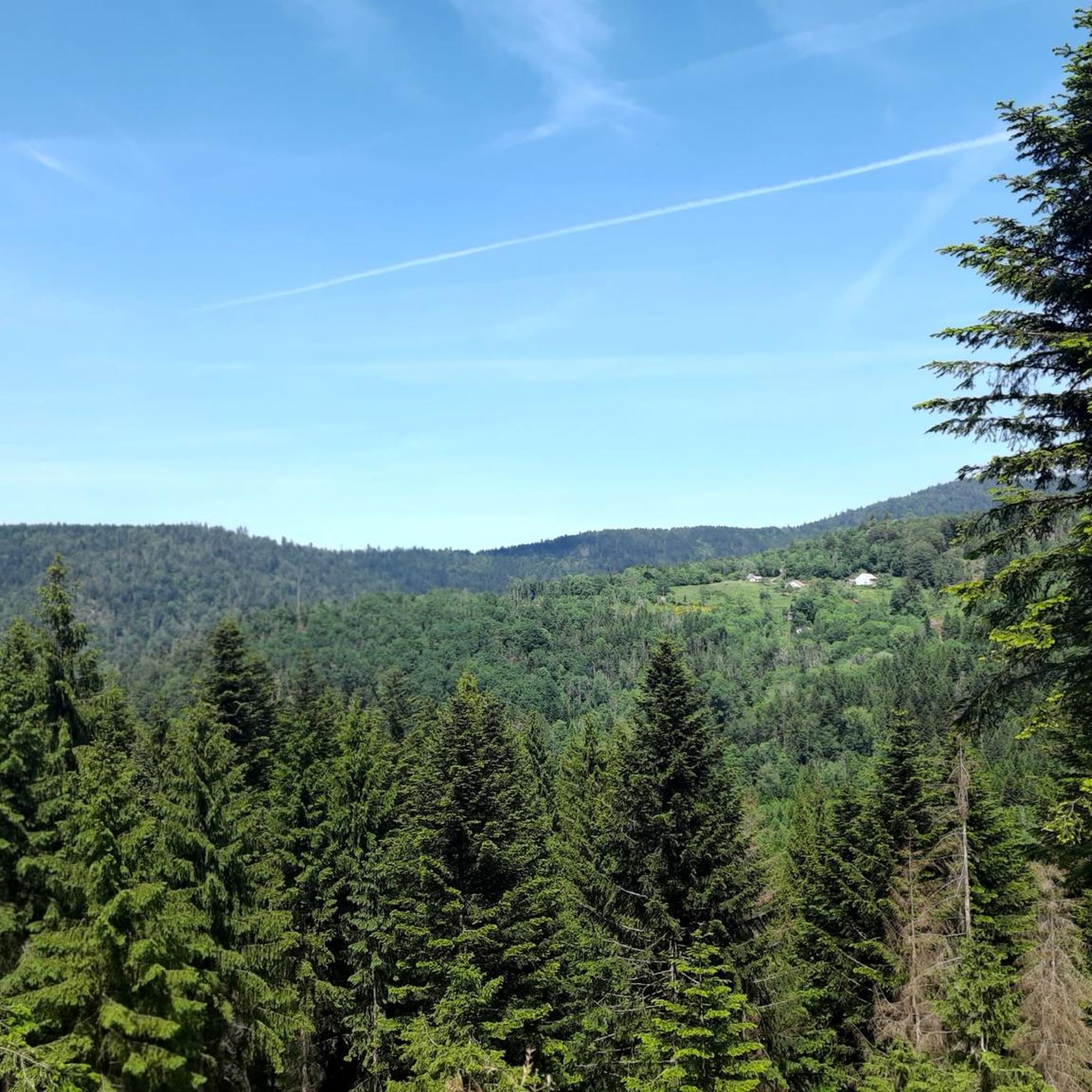
Mountain biking around Plancher-Bas offers diverse landscapes within the southern Vosges mountains, characterized by significant elevation changes and varied terrain. The region features challenging climbs, dense forests like the Saint-Antoine Forest, and picturesque valleys such as the Rahin Valley. Riders can expect demanding ascents and technical descents, with routes accommodating various skill levels.
Best mountain bike trails around Plancher-Bas
- The most popular mountain bike trail is Ballon de Servance – La Planche des Belles Filles loop from Plancher-les-Mines, a…
Last updated: October 3, 2026
5.0
(1)
19
riders
33.2km
03:30
1,110m
1,120m
Hard mountain bike ride. Very good fitness required. Advanced riding skills necessary.
3.5
(2)
15
riders
Moderate mountain bike ride. Good fitness required. Advanced riding skills necessary.

5.0
(3)
13
riders
38.1km
03:37
1,120m
1,120m
Hard mountain bike ride. Very good fitness required. Advanced riding skills necessary.
3.5
(2)
3
riders
36.8km
03:03
510m
510m
Moderate mountain bike ride. Good fitness required. Suitable for all skill levels.
5.0
(1)
1
riders
Moderate mountain bike ride. Good fitness required. Suitable for all skill levels.
Get access to more routes and recommendations from other explorers.
Already have an account?
Our route recommendations are based on thousands of hikes, rides, and runs completed by other people on komoot.
Start today with a free account
Your next adventure awaits.
Other adventures around Plancher-Bas

Tips from the Community

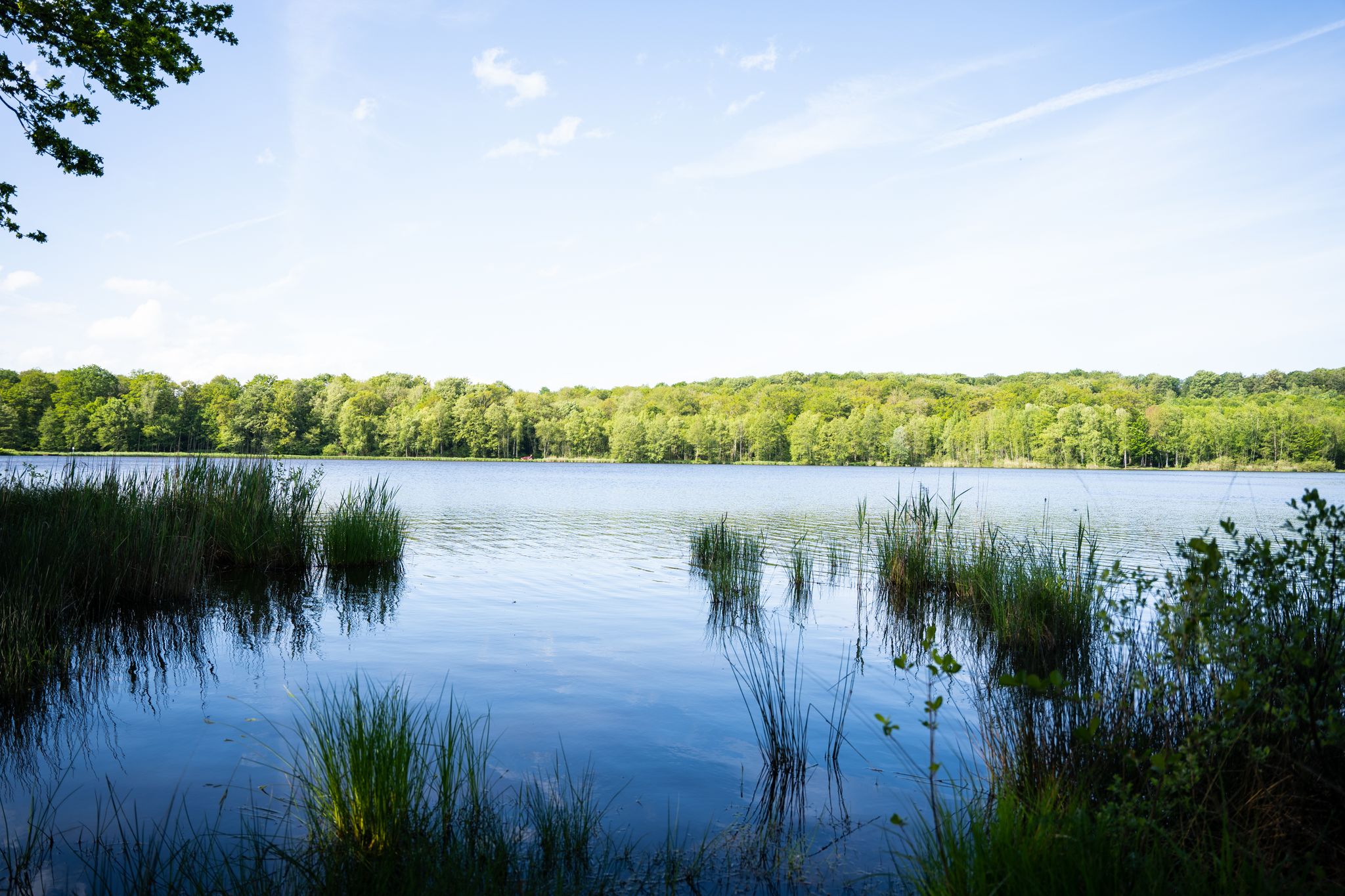
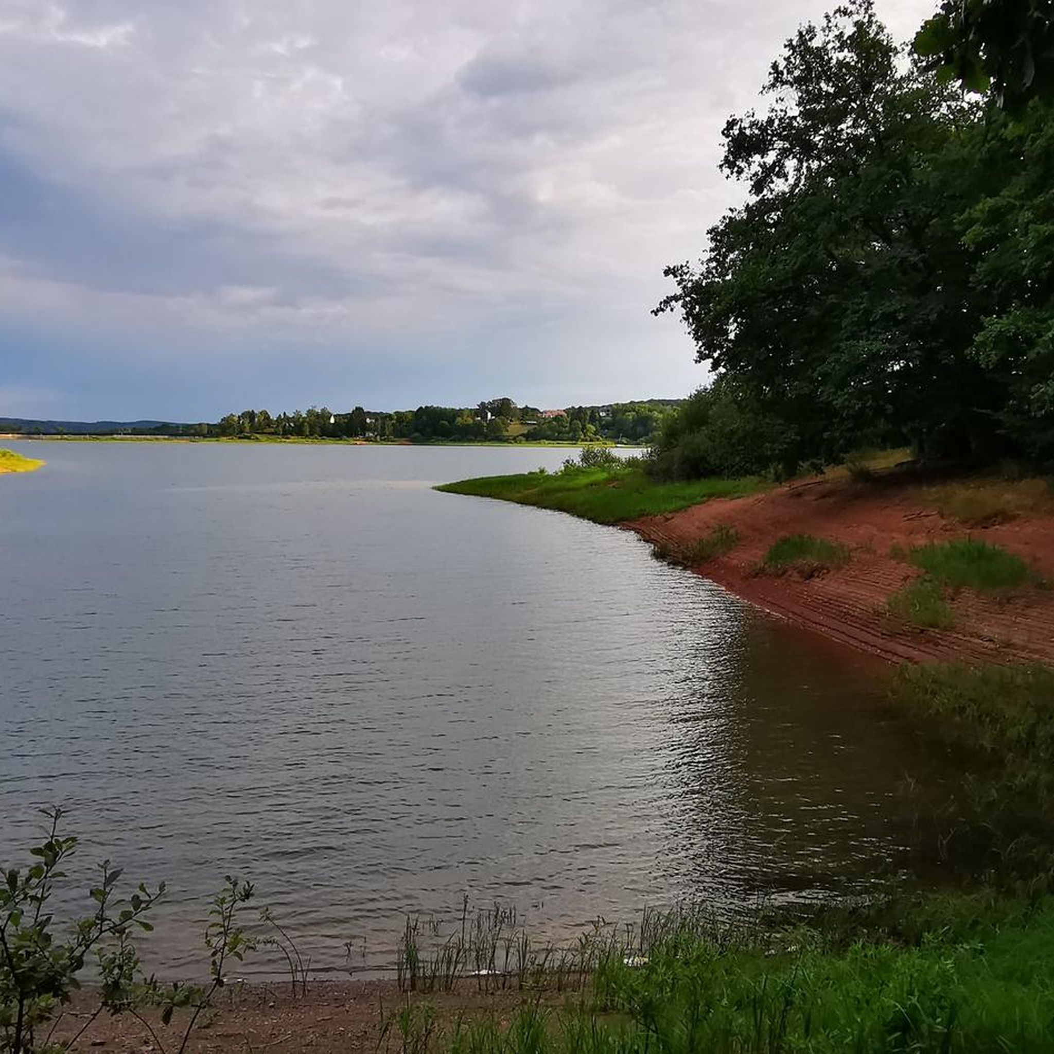
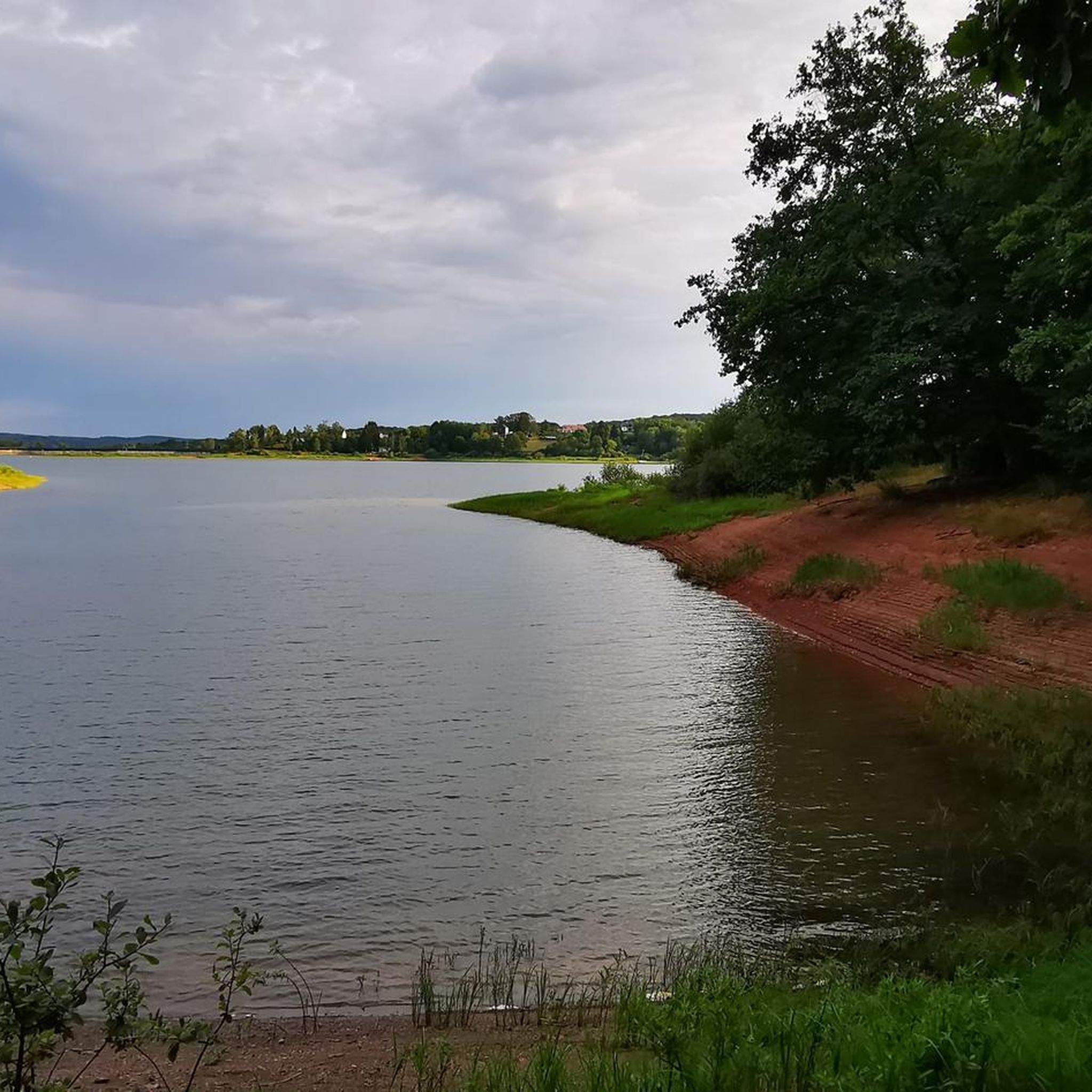
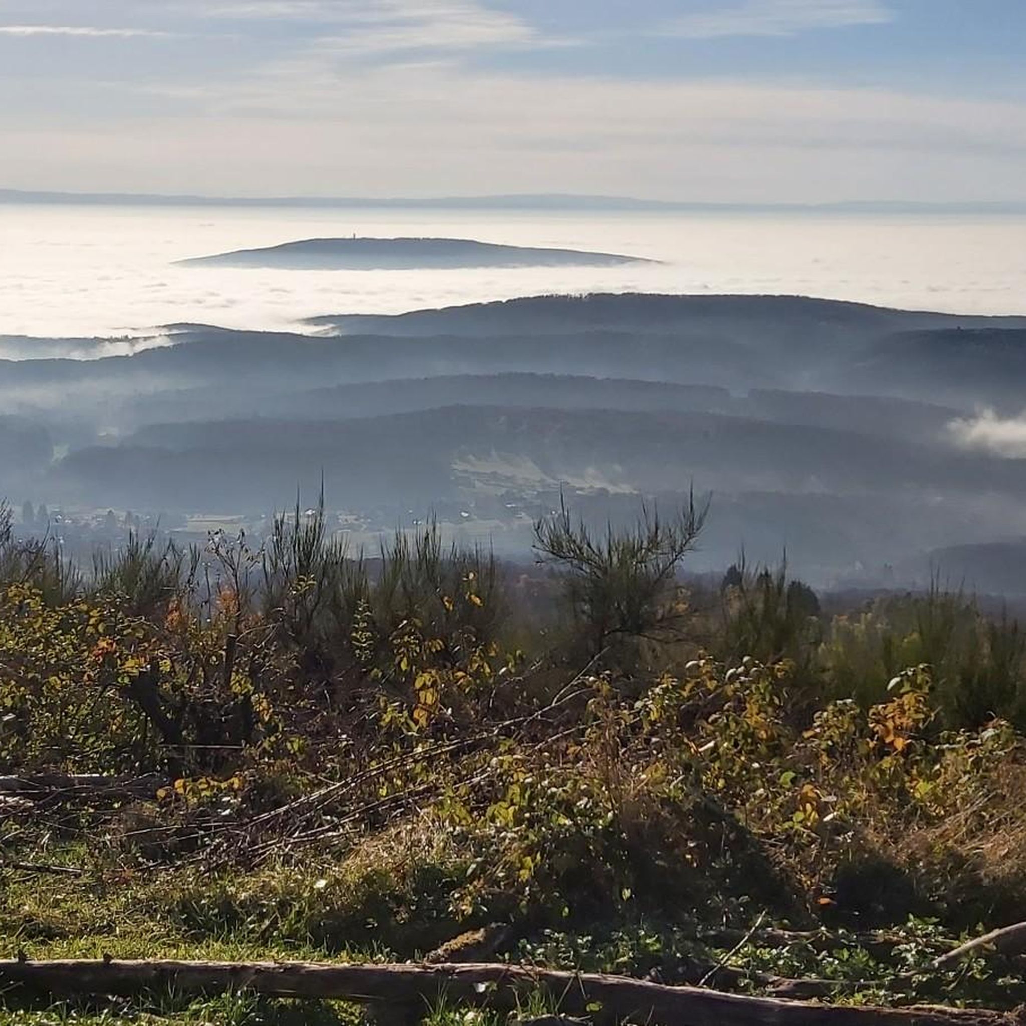
From the dam, you can enjoy a wide view over the reservoir. The striking reddish-brown banks contrast beautifully with the water and the wooded hills of the Vosges in the background.
6
0
The dam is an impressive piece of historical engineering: it is 785 meters long and rises 41 meters from the foundation. Walking on or along the dam offers a wide view of the deep blue water and the surrounding forests. Nice for cycling along the dam!
6
0
The Bassin de Champagney (or Champagney Reservoir) is an impressive artificial reservoir with a surface area of 107 hectares, located in the French department of Haute-Saône (Bourgogne-Franche-Comté region). The reservoir is situated in the southern foothills of the Vosges and was built between 1882 and 1905 to supply water to the never fully completed Canal de la Haute-Saône. Today, the lake has a capacity of 13 million m³ and is a popular destination for nature lovers, hikers, and fishermen.
6
0
The end of the climb is somewhat disappointing. There is nothing marked. No photo opportunity. You have a small parking lot, a closed military road, and a picnic spot well hidden under the trees. At the two yellow signs (mainly for hikers) there is the only indication that you are at the Ballon de Servance and at 1158 m. The climb is "cozy". No cars, completely shaded, a few kilometer markers.
7
0
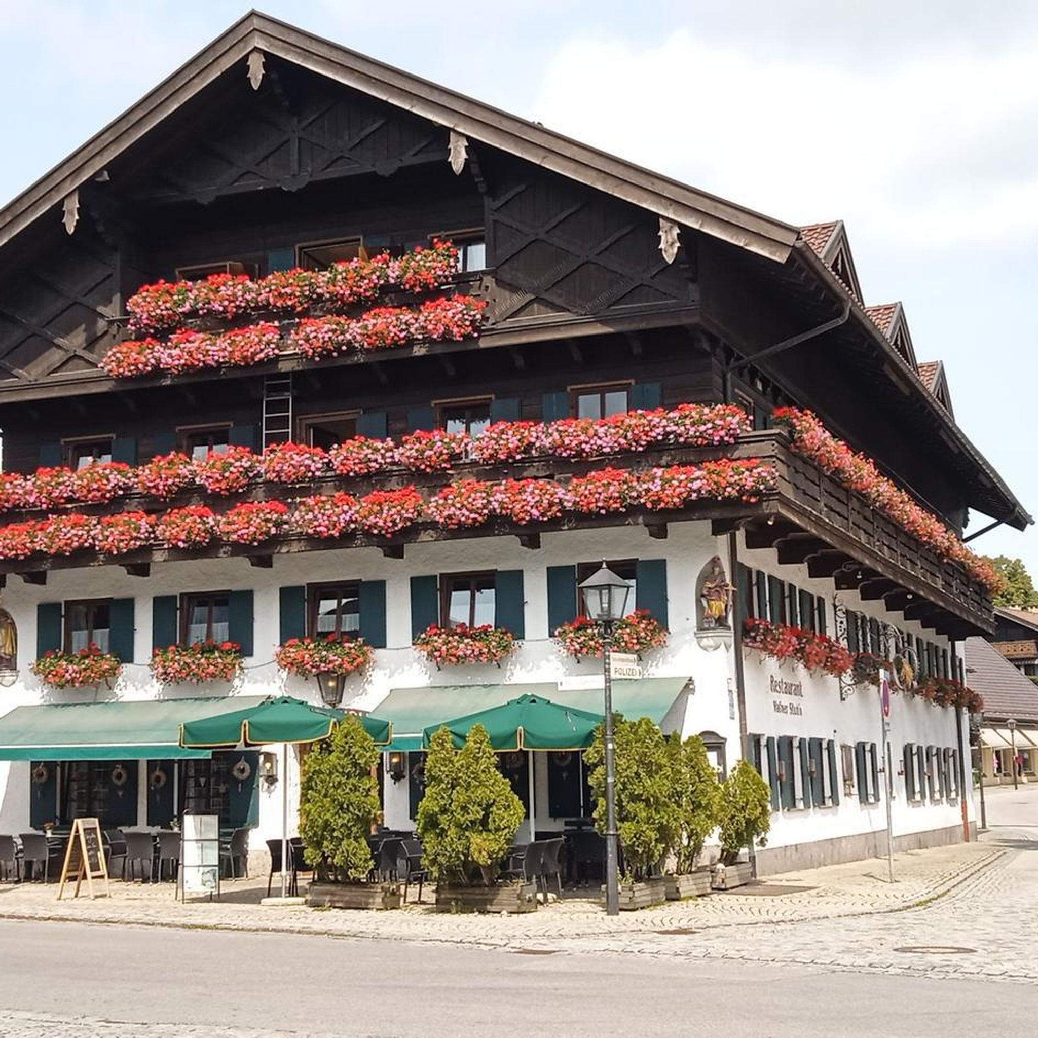
Traditional town hall in natural stone, central in the hamlet of Lüders. Symmetrical facade with red doors, balcony and French and European flags. The building dates from the late 19th–early 20th century, a period when Champagney grew into a mining and industrial village. The double French flag refers to local history: the village lost many inhabitants during World War I. A quiet village point along routes in the Parc naturel régional des Ballons des Vosges.
7
0

Super tough to get there...
0
0
Yes it's tough, with the difficulty of the Pinot turn and the last gravelly ramp.
0
0

Frequently Asked Questions
How many mountain bike trails are available around Plancher-Bas?
The Plancher-Bas area offers a wide selection of mountain bike trails, with over 250 routes recorded on komoot. This includes 33 easy, 107 moderate, and 112 difficult trails, catering to various skill levels.
What kind of difficulty levels can I expect on mountain bike trails near Plancher-Bas?
Mountain biking around Plancher-Bas offers a diverse range of difficulties. You'll find everything from easy paths suitable for beginners to challenging routes with significant elevation changes, including demanding climbs and technical descents. The region, nestled in the southern Vosges mountains, is known for its varied terrain.
Are there many circular mountain bike routes in the Plancher-Bas area?
Yes, many mountain bike routes in the Plancher-Bas area are designed as loops. For example, the La Planche des Belles Filles – La Planche des Belles Filles loop from Plancher-les-Mines is a moderate 17.6 km route, and the more challenging Ballon de Servance – La Planche des Belles Filles loop from Plancher-les-Mines covers 33.4 km.
Which mountain bike trails offer the best scenic viewpoints in Plancher-Bas?
For superb panoramic views, consider routes that ascend to Ballon d'Alsace or Ballon de Servance. The iconic La Planche des Belles Filles also provides stunning vistas of the surrounding Vosges Saônoises and the Champagney basin. The La Planche des Belles Filles – La Grande-Goutte Refuge loop from Plancher-les-Mines is a great option for varied mountain terrain and views.
Are there any mountain bike trails near waterfalls in Plancher-Bas?
Yes, the region features beautiful natural water features. You can find trails near the Goutte des Saules waterfall and its canyon. Additionally, the Rummel Waterfalls and the Waterfall - Saut de l'Ognon are notable natural monuments in the vicinity that you might encounter on your rides.
Are there family-friendly mountain bike trails suitable for all ages around Plancher-Bas?
While many trails in the southern Vosges mountains can be challenging, there are easier options available. The region's diverse terrain includes paths suitable for various skill levels. Look for routes rated as 'easy' on komoot, which typically feature less elevation gain and smoother surfaces, making them more suitable for families.
What is the best time of year for mountain biking in Plancher-Bas?
The best time for mountain biking in Plancher-Bas is generally from spring through autumn. During these seasons, the weather is more favorable, and the trails are free from snow. While La Planche des Belles Filles is a ski station in winter, the warmer months offer ideal conditions for exploring the region's rugged mountain terrain and dense forests on two wheels.
Where can I find parking for mountain bike trails in Plancher-Bas?
Many popular mountain bike routes, such as those leading to La Planche des Belles Filles or Ballon de Servance, often start from Plancher-les-Mines. You can typically find parking facilities in and around the villages and trailheads in the area. It's advisable to check specific starting points for designated parking areas.
Is it possible to access mountain bike trails in Plancher-Bas using public transport?
While the region is primarily accessed by car, some local bus services might connect to larger towns near Plancher-Bas. However, direct public transport access to specific trailheads can be limited. For the most flexibility, especially with mountain bikes, personal transport is often recommended. Consider checking local transport schedules for the Haute-Saône department for more detailed information.
What interesting landmarks or natural features can I explore while mountain biking near Plancher-Bas?
Beyond the famous La Planche des Belles Filles, you can explore the natural environment of the Rahin Valley, which offers insights into the region's geological history. The vast Saint-Antoine Forest provides magnificent forest trails. Nearby leisure bases at Champagney and Ronchamp also offer additional outdoor activities around arranged lakes. You might also encounter the Chevrères Pass on some routes.
What do other mountain bikers enjoy the most about mountain biking in Plancher-Bas?
The mountain biking experience in Plancher-Bas is highly rated by the komoot community, with an average score of 4.5 stars from over 700 reviews. Riders often praise the diverse landscapes, challenging climbs, and technical descents. The rugged mountain terrain, dense forests, and picturesque valleys, particularly around La Planche des Belles Filles, are frequently highlighted as key attractions.
Most popular routes around Plancher-Bas
Most popular attractions around Plancher-Bas

Get inspired with the komoot mobile app


Explore more
Browse the best MTB trails in other regions.
