Top 19 Mountain Passes around Plancher-Les-Mines
Best mountain passes around Plancher-Les-Mines are situated in the Vosges mountains, offering a diverse landscape for exploration. The region features a mix of natural monuments, summits, and challenging climbs. These passes provide routes through forests and offer various viewpoints across the countryside. The area is characterized by its mountainous terrain, with several passes historically significant for cycling.
Best mountain passes around Plancher-Les-Mines
- The most popular mountain passes is Ballon d'Alsace, a natural monument. This pass, at 1,247 meters, holds…
Last updated: June 26, 2026
Ballon de Servance
Highlight • Summit
The highest point in the Haute-Saône department, the Ballon de Servance is partly …
Translated by Google •
Tip by

Chevrères Pass
Highlight • Mountain Pass
Translated by Google •
Tip by

Sign up now to discover places like this
Get recommendations on the best single tracks, peaks, & plenty of other exciting outdoor places.
Sign up for free
Col du Page (957 m)
Highlight (Segment) • Mountain Pass
Road surface good, but a bit bumpy at high …
Translated by Google •
Tip by
Col de Bussang (731 m)
Highlight • Mountain Pass
Translated by Google •
Tip by

Ascent of the Ballon d'Alsace from Saint-Maurice-sur-Moselle
Highlight (Segment) • Climb
Translated by Google •
Tip by

Sign up for free to discover even more mountain passes around Plancher-Les-Mines.
Sign up for free
Already have an account?
Start today with a free account
Your next adventure awaits.
Login or Signup
Popular around Plancher-Les-Mines

From the Vosges to the Jura mountains – Hexatrek, le Grand Est
Hiking for Ballon lovers – Tour du Ballon d'Alsace in France

Legendary passes of the Tour de France
Road Cycling Routes around Plancher-Les-Mines
Hiking around Plancher-Les-Mines
Cycling around Plancher-Les-Mines
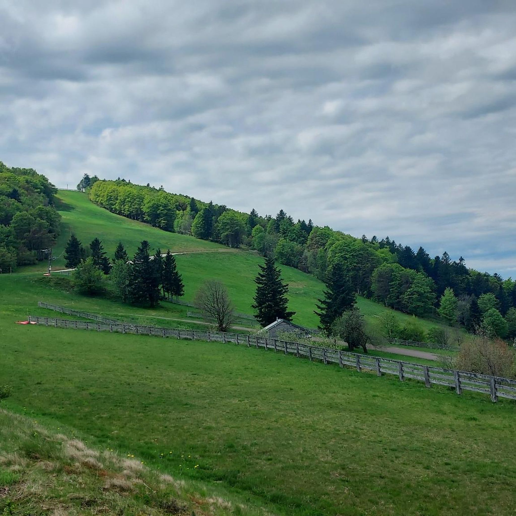
MTB Trails around Plancher-Les-Mines
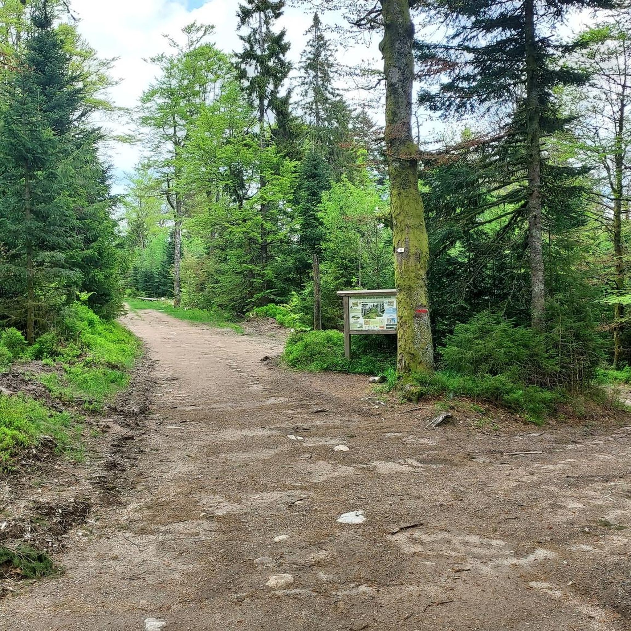
Running Trails around Plancher-Les-Mines
Gravel biking around Plancher-Les-Mines

Mountain Hikes around Plancher-Les-Mines


Tips from the Community

This pass is pleasant to ride up the Moselle. You only have to pedal hard for the last few hundred meters. You can - and should - refresh yourself at the source of the Moselle shortly beforehand. You will be rewarded with a long, but also busy, descent into Alsace.
2
0


I did it on a muscle bike without problem and now on an e-bike
0
0

From Plancher-Bas or Plancher-les-Mines, the only difficulty is the Belfahy hill: around 500 m at 10-15%.
0
0
The climb from Saint-Maurice-sur-Moselle is gentle, with nine kilometers at an average gradient of 6.9%.
2
0

The Col de Bussang is a 731 m high pass in the Vosges. The pass is located 8.4 km northeast of the Ballon d'Alsace between the communities of Bussang in the west and Urbès in the east. The border between Lorraine and Alsace runs 200 meters west of the pass. National Road 66 runs over the pass (Wikipedia).
4
1

Arrived at the top via the national road. Thank you, that was enough.
1
0

Komoot's topo is wrong for most of the climb from Saint-Meurice-Sur-Moselle. Expect around 7% overall (sometimes a little more, sometimes a little less). Not so easy on a touring bike (25kg load + 17kg bike), but accessible and the 30km descent to Belfort is well worth it :)
2
0
Frequently Asked Questions
Which mountain passes around Plancher-Les-Mines are historically significant?
The Ballon d'Alsace is particularly notable, as it was the first pass conquered in the Tour de France in 1905 by René Pottier. Despite not being the highest pass in the Vosges, it holds a special place in cycling history.
Are there challenging climbs for experienced cyclists in the Plancher-Les-Mines area?
Yes, the Chevrères Pass is known for its challenging climb, featuring brutal increases of up to 19%. It's often described as an 'epic climb' by the komoot community.
What are some less-trafficked mountain passes for a quieter experience?
For a quieter experience, consider the Ballon de Servance. It's much less known than other 'balloons' of the Vosges and offers a beautiful ascent in the middle of lonely nature on a narrow, paved road with very little traffic. Similarly, the Col du Page (957 m) is a nice little pass on a paved road with very little traffic, mostly through the forest.
What kind of views can I expect from the mountain passes in this region?
Many passes offer wonderful views of the countryside. For example, the Col du Page (957 m) provides beautiful vistas between sections of forest. The Ballon d'Alsace also offers scenic views, with its beautiful surroundings.
Are there mountain passes suitable for cycling with good road surfaces?
The Ballon d'Alsace has a good road surface, making it ideal for training descents. The Col du Page (957 m) also features a paved road with a generally good surface, though it can be a bit bumpy at high speeds.
What outdoor activities can I do near the mountain passes around Plancher-Les-Mines?
The region offers a variety of outdoor activities. You can find numerous routes for gravel biking, hiking, and road cycling. For more details on specific routes, explore the Gravel biking around Plancher-Les-Mines, Hiking around Plancher-Les-Mines, and Road Cycling Routes around Plancher-Les-Mines guides.
Are there hiking trails near these mountain passes?
Yes, there are several hiking trails. For instance, you can find moderate hikes like the 'Chevrères Pass loop from Belfahy' or 'Étang des Belles Filles – Split Rock loop from Planche des Belles Filles'. For a comprehensive list of trails, refer to the Hiking around Plancher-Les-Mines guide.
What is the highest point in the Haute-Saône department accessible to the public?
The Ballon de Servance, at 1216 meters above sea level, is the highest point in the Haute-Saône department. Although partly requisitioned by the army, its summit is accessible to the public via a narrow, paved road.
What should I know about visiting mountain passes in winter?
Some access roads to mountain passes, such as those leading to the Ballon de Servance, may partially close in winter because the roads are not cleared of snow. It's advisable to check local conditions before planning a winter visit.
What do visitors appreciate most about the mountain passes in Plancher-Les-Mines?
Visitors often highlight the beautiful scenery, the challenging climbs for cyclists, and the quiet, natural environments. The historical significance of passes like the Ballon d'Alsace also adds to the appeal, as does the opportunity to find less-trafficked routes for a peaceful experience.
Are there any specific safety considerations when exploring the mountain passes?
When tackling challenging routes like the Chevrères Pass, be aware of the steep inclines. One tip from the community also mentions the possible presence of two dangerous dogs about 3 kilometers from the finish if they are not attached by their owner, so caution is advised.
Most popular routes around Plancher-Les-Mines
Most popular attractions around Plancher-Les-Mines

Get inspired with the komoot mobile app


Explore more
See even more epic mountain passes by checking out these guides around Plancher-Les-Mines:
