The best running trails around Saint-Georges-D'Hurtières
4.5
(8)
512
runners
38
runs
Jogging around Saint-Georges-D'Hurtières offers diverse landscapes within the Hurtières Massif and Maurienne Valley. The terrain ranges from forested paths to routes with significant elevation changes, providing varied running experiences. Situated at the entrance of the Maurienne valley, the area features views of Alpine peaks and includes natural highlights like the Lac des Hurtières. The region's average elevation is 682 meters, with routes offering diverse gradients for outdoor activities.
Best jogging routes around Saint-Georges-D'Hurtières
- The most popular jogging route is Col…
Last updated: July 1, 2026
115
runners
68.8km
10:54
3,770m
3,760m
Hard run. Very good fitness required. Sure-footedness, sturdy shoes and alpine experience required.
5.0
(1)
13
runners
6.97km
00:52
280m
280m
Moderate run. Good fitness required. Mostly paved surfaces. Suitable for all skill levels.

Sign up for free
18
runners
12.4km
01:52
560m
550m
Hard run. Very good fitness required. Sure-footedness, sturdy shoes and alpine experience required.
8
runners
7.18km
01:18
450m
450m
Hard run. Very good fitness required. Sure-footedness, sturdy shoes and alpine experience required.
8
runners
14.2km
01:32
190m
190m
Moderate run. Good fitness required. Mostly paved surfaces. Suitable for all skill levels.
Get access to more routes and recommendations from other explorers.
Sign up for free
Already have an account?
Our route recommendations are based on thousands of hikes, rides, and runs completed by other people on komoot.
Start today with a free account
Your next adventure awaits.
Login or Signup


Tips from the Community

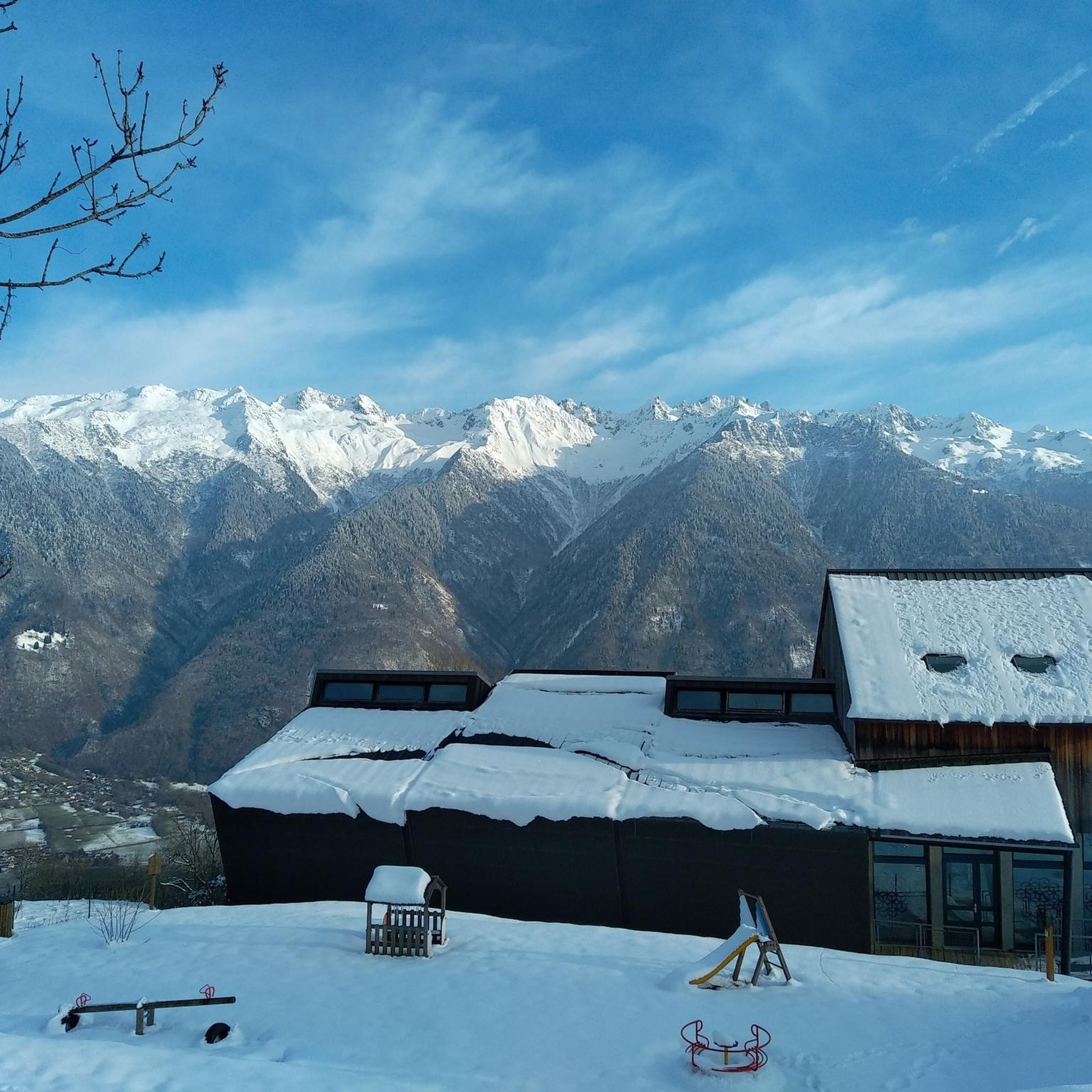
magnificent view of the snow-capped mountains at the end of May
1
0

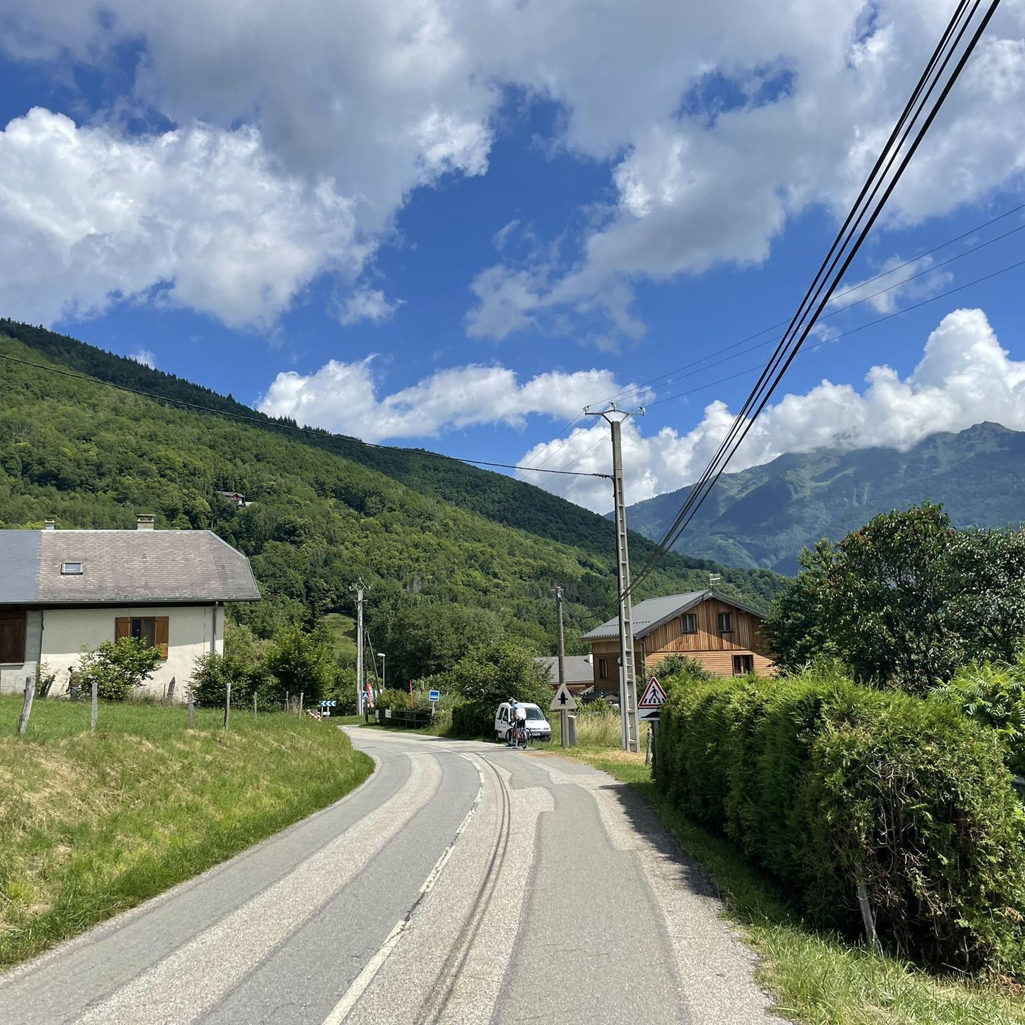
Large parts of the tour have very little traffic, so you can enjoy the beautiful nature even more.
1
0

Col la Perche is located at an altitude of 1,986 meters, between Pointe de Rognier (2,341 meters) and Chapotet (2,083 meters).
0
0
Aiguebelle marks the entrance to the Maurienne valley. It is a small living town with a rich past, from where a good number of hikes start.
0
0
The Col de la Perrière is located at an altitude of 2,003 meters. It offers a superb view of the Grand Charnier, the Grands Moulins, the Frêche, the Tête de la Perrière and the Grand Miceau.
0
0
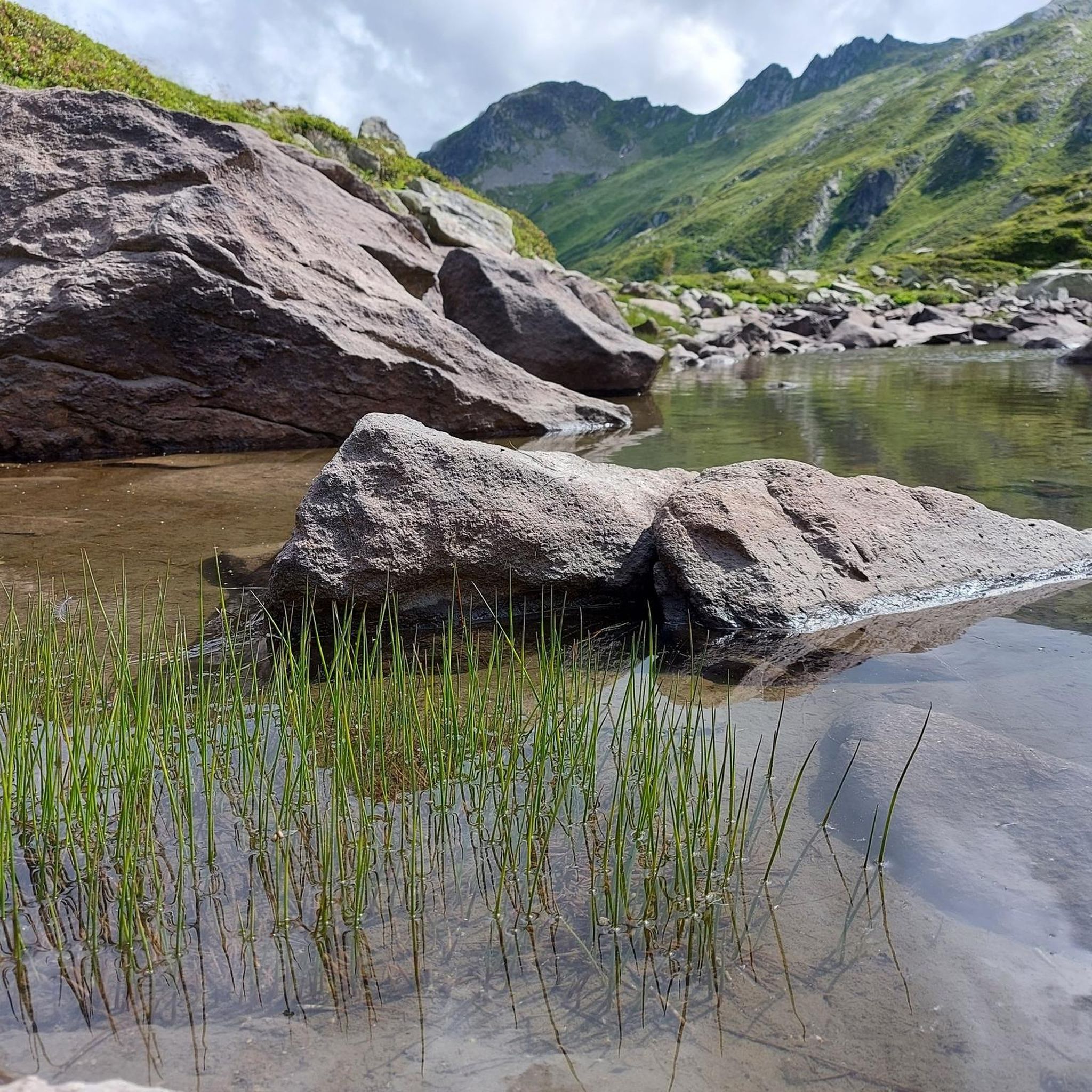
It is a superb passage, at an altitude of 1,850 meters. The panorama opens onto the Lauzière chain, Mont Blanc and Pointe de Rognier. A small lake is at the level of the pass, it is the lake of the Frogs.
0
0

Lovely col well away from the busy roads of the valley floor and a great picnic spot when the sun is out and legs are tired!
1
0

Very nice steady climb from Chamoux, under the trees, and on a road with good asphalt.
1
0
Frequently Asked Questions
How many running routes are available around Saint-Georges-D'Hurtières?
There are over 40 dedicated running routes around Saint-Georges-D'Hurtières, offering a wide range of options for different fitness levels and preferences. These include easy paths, moderate trails, and challenging ascents through the Hurtières Massif and Maurienne Valley.
Are there any easy running trails suitable for beginners or casual joggers?
Yes, Saint-Georges-D'Hurtières offers several easier options. For a gentle introduction, consider the 'Parcours de Santé et Découverte de la Forêt' (Fitness and Forest Discovery Trail) which is designed for various fitness levels within a natural forest setting. While not explicitly listed in the top routes, there are 1 easy route and 25 moderate routes among the 43 available, providing accessible choices for casual runners.
What kind of terrain can I expect on the jogging routes in this region?
The terrain around Saint-Georges-D'Hurtières is quite varied. You'll find lovely forest tracks offering shaded routes, particularly towards destinations like the Col du Petit Cucheron. Many trails also feature significant elevation changes as they wind through the Hurtières Massif and Maurienne Valley, providing invigorating runs with Alpine scenery.
Are there any running routes that offer panoramic views?
Absolutely! Many routes in the region boast stunning panoramic views. For instance, the Arbarétan Pass loop from Parking de Teppe Verte is a challenging route that features notable elevation gains and rewarding views of the surrounding massifs. Longer routes towards the summit of Grands Moulins also offer breathtaking 360° panoramas encompassing Belledonne, Chartreuse, Vercors, Bauges, Aravis, Vanoise, and Mont-Blanc.
Can I find circular running routes in Saint-Georges-D'Hurtières?
Yes, many of the running routes in the area are circular, allowing you to start and finish at the same point. Examples include the popular Col de Champlaurent loop from Champlaurent and the Château Rochette loop from Aiton. These loops provide convenient options for exploring the diverse landscapes.
What are some notable landmarks or natural features I might see while running?
Joggers can encounter a variety of interesting features. The Col du Grand Cucheron is a prominent mountain pass. You might also pass by the scenic Lac des Hurtières, a Natura 2000 site known for its biodiversity. Additionally, some historical mining trails offer a unique blend of exercise and cultural discovery, incorporating vestiges of past mining operations.
Are there any family-friendly running options or trails with attractions for children?
Yes, the 'Parcours de Santé et Découverte de la Forêt' is particularly suitable for families. This fitness trail combines sport and relaxation within a natural forest setting, complete with artistic mushrooms, giant insects, and small elves designed to charm children. Its starting point is at the hamlet 'Des Justs', below the town hall.
What do other runners say about the trails in Saint-Georges-D'Hurtières?
The running routes in Saint-Georges-D'Hurtières are highly rated by the komoot community, with an average score of 4.5 stars from 6 reviews. Over 450 runners have used komoot to explore the varied terrain, often praising the diverse landscapes and the options for different ability levels.
Are there any challenging running routes for experienced runners?
For experienced runners seeking a challenge, the region offers several difficult routes with significant elevation gains. The Arbarétan Pass loop from Parking de Teppe Verte is an 8.8-mile (14.2 km) path with substantial climbing, providing a demanding workout and rewarding views. The area's position within the Hurtières massif and near the Col du Grand Cucheron ensures plenty of strenuous options.
What is the best time of year to go running in Saint-Georges-D'Hurtières?
The region offers good running conditions throughout much of the year. Summer is particularly enjoyable for routes with shaded sections, such as those around the Col du Grand Cucheron. However, the diverse landscapes mean that spring and autumn can also be excellent, with vibrant foliage and cooler temperatures. Winter running is possible, but some higher elevation trails may be affected by snow.
Are there any running routes that start from nearby villages?
Yes, you can find excellent running routes that start from villages close to Saint-Georges-D'Hurtières. For example, there's a Running loop from Saint-Alban-d'Hurtières and another Running loop from Saint-Pierre-de-Belleville, both offering moderate challenges and a chance to explore the wider area.
Are dogs allowed on the running trails in Saint-Georges-D'Hurtières?
While specific regulations for every trail vary, generally, dogs are welcome on many outdoor trails in the region, especially in natural areas like the Hurtières Massif. It's always recommended to keep dogs on a leash, especially in forested areas or near wildlife, and to carry water for them. There are no explicit restrictions mentioned for the general running routes.
Most popular routes around Saint-Georges-D'Hurtières
Most popular attractions around Saint-Georges-D'Hurtières

Get inspired with the komoot mobile app


Explore more
Browse the best Running Trails & Routes in other regions.
