The best walks and hikes around Saint-Alban-D'Hurtières
4.6
(431)
4,472
hikers
98
hikes
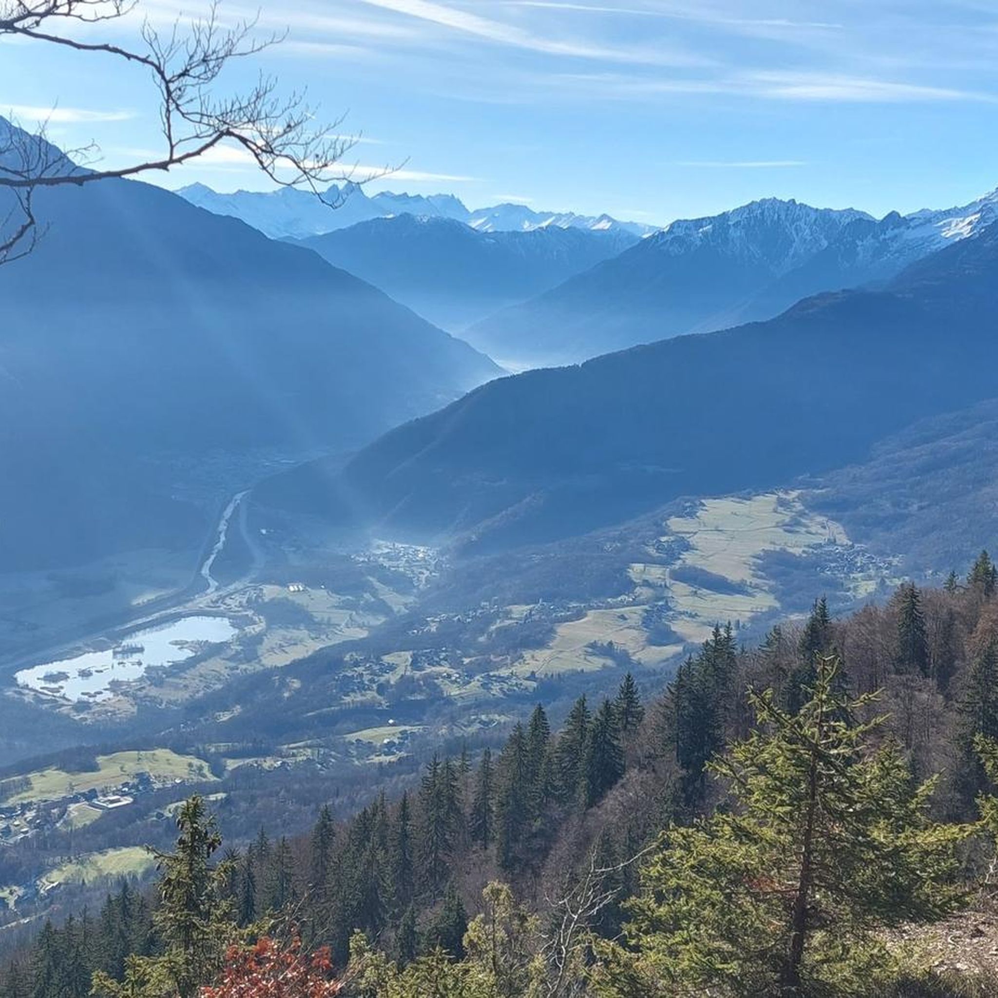
Hiking around Saint-Alban-D'Hurtières offers diverse terrain within the Savoie department, situated at the northern tip of the Belledonne Massif. The region is characterized by varied landscapes, ranging from forests to high ridges, and features significant mountain passes like the Col du Grand Cucheron. The area also includes the Lac des Hurtières, recognized for its environmental quality and surrounding trails within the Natura 2000 network. This provides a range of natural features for outdoor exploration.
Best hiking trails around Saint-Alban-D'Hurtières
- The…
Last updated: May 20, 2026
5.0
(7)
58
hikers
12.7km
04:43
650m
650m
Moderate hike. Good fitness required. Mostly accessible paths. Sure-footedness required.
4.4
(12)
116
hikers
7.31km
02:57
410m
420m
Moderate hike. Good fitness required. Mostly accessible paths. Sure-footedness required.

Sign up for free
4.2
(9)
90
hikers
7.08km
02:41
350m
350m
Moderate hike. Good fitness required. Mostly accessible paths. Sure-footedness required.
4.8
(5)
35
hikers
10.8km
03:05
260m
260m
Moderate hike. Good fitness required. Easily-accessible paths. Suitable for all skill levels.
5.0
(1)
18
hikers
19.5km
07:20
1,030m
1,030m
Hard hike. Very good fitness required. Mostly accessible paths. Sure-footedness required.
Get access to more routes and recommendations from other explorers.
Sign up for free
Already have an account?
Our route recommendations are based on thousands of hikes, rides, and runs completed by other people on komoot.
Start today with a free account
Your next adventure awaits.
Login or Signup

Tips from the Community

A sustained climb from Chamoux; for those with the best tire equipment (minimum 25" 4 seasons), it's possible to climb all the way to the Fort itself!
0
0


Refuge three well renew
0
0

Col la Perche is located at an altitude of 1,986 meters, between Pointe de Rognier (2,341 meters) and Chapotet (2,083 meters).
0
0
The Montgilbert fort is located at an altitude of 1,630 meters and dates from the 1880s. It then allowed the surveillance of the Arc valley, the According to valleys and the Cucheron pass. It is no longer possible to visit it, but you can get a good overview by approaching the entrance.
0
0
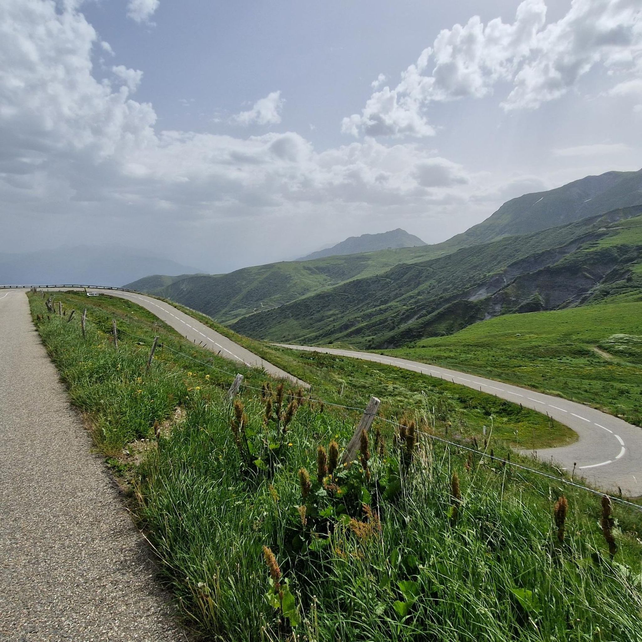
It is a superb passage, at an altitude of 1,850 meters. The panorama opens onto the Lauzière chain, Mont Blanc and Pointe de Rognier. A small lake is at the level of the pass, it is the lake of the Frogs.
0
0
Frequently Asked Questions
How many hiking trails are available in Saint-Alban-D'Hurtières?
There are over 90 hiking trails around Saint-Alban-D'Hurtières, offering a wide range of options for different skill levels and preferences. This includes 18 easy routes, 55 moderate, and 20 difficult trails.
Are there family-friendly hiking options in Saint-Alban-D'Hurtières?
Yes, Saint-Alban-D'Hurtières offers several family-friendly hikes. An easy option is the Épierre Castle ... – Cascade des Moulins d'Épierre loop from Épierre, which is 2.8 miles (4.5 km) long and takes about 1 hour 23 minutes. The region also features routes like 'The Knights of Huile,' an easy trail introducing local flora, fauna, and history around the marshes of Bourget-en-Huile and Pontet.
What kind of terrain and elevation can I expect on hikes in Saint-Alban-D'Hurtières?
The terrain in Saint-Alban-D'Hurtières is diverse, ranging from forests to high ridges, as it's situated at the northern tip of the Belledonne Massif. You can expect varied elevation gains, with some moderate trails like the Frog Lake – Arbarétan Pass loop from Parking de Teppe Verte featuring over 640 meters of ascent, while easier routes have more gentle inclines.
What natural features or landmarks can I see while hiking in the area?
Hikers can explore significant natural features and landmarks. The region is defined by the rugged Belledonne Massif, prominent mountain passes like Col du Grand Cucheron, and the tranquil Lac des Hurtières. Higher peaks such as Pointe de Rognier and Les Grands Moulins offer expansive 360° views of surrounding massifs like Chartreuse, Vercors, and even Mont Blanc on clear days. You might also encounter alpine chalets like those at La Jasse and L'Arbarétan.
Are there any circular hiking routes in Saint-Alban-D'Hurtières?
Yes, many routes in the area are circular. For example, the Frog Lake – Arbarétan Pass loop from Baraque de la Jasse is a moderate 7.3-mile (11.7 km) circular trail. Another option is the Col du Grand Cucheron – Fort Montgilbert loop from Le Pontet, which is 6.7 miles (10.8 km) long.
What is the best time of year to go hiking in Saint-Alban-D'Hurtières?
The best time for hiking in Saint-Alban-D'Hurtières is generally from spring to autumn, when trails are clear of snow and the weather is mild. Summer offers pleasant conditions, with the Lac des Hurtières suitable for swimming. While some trails might be accessible in winter, higher elevations in the Belledonne Massif will require appropriate gear and experience for snow conditions.
What do other hikers enjoy most about hiking in Saint-Alban-D'Hurtières?
The area is highly rated by the komoot community, with an average score of 4.6 stars from over 400 reviews. Hikers often praise the diverse landscapes, from forests to high ridges, the breathtaking panoramic views from peaks, and the variety of trails suitable for different ability levels. The tranquil Lac des Hurtières and the well-marked paths are also frequently highlighted.
Are there any specific attractions or points of interest near the hiking trails?
Beyond the trails themselves, you can find several points of interest. The Col du Grand Cucheron is a notable mountain pass offering impressive scenery. Further afield, the Col de la Madeleine is another significant pass in the region. The Lac des Hurtières itself is a central attraction, recognized for its environmental quality and recreational opportunities.
Is there parking available at the trailheads in Saint-Alban-D'Hurtières?
Yes, many hiking routes in Saint-Alban-D'Hurtières, such as the Frog Lake – Arbarétan Pass loop, start from designated parking areas like Parking de Teppe Verte. It's advisable to check specific route details for parking information before heading out.
Can I find accommodation or places to eat near the hiking areas?
While specific cafes or pubs directly on the trails are limited, the region does offer options for accommodation and dining. Unsupervised alpine chalets, such as those at La Jasse (1600m) and L'Arbarétan (1810m), provide shelter for hikers. For more amenities, you would typically find options in Saint-Alban-D'Hurtières village or nearby towns.
Are there any challenging hikes for experienced trekkers?
Yes, the region offers challenging treks, particularly within the Belledonne Massif. Routes ascending to peaks like Pointe de Rognier or Les Grands Moulins can be physically demanding and offer rewarding, sweeping views. There are 20 difficult trails available for experienced hikers seeking a greater challenge.
What is the environmental significance of the Lac des Hurtières area?
The Lac des Hurtières is recognized for its environmental quality, and the surrounding Plaine des Hurtières is part of the Natura 2000 network. This European initiative aims to protect animal and plant species, highlighting the area's rich biodiversity. There are discovery trails around the lake to learn about the local flora and fauna.
Most popular routes around Saint-Alban-D'Hurtières
Most popular attractions around Saint-Alban-D'Hurtières

Get inspired with the komoot mobile app


Explore more
Browse the best Hikes in other regions.
