The best running trails around Geneuille
4.4
(21)
783
runners
19
runs
Jogging routes Geneuille are set within a diverse natural landscape, characterized by its location in a valley at 220 meters altitude on the left bank of the Ognon River. A significant portion of the area is covered by forests, providing varied terrain for running. The region also features the transformed former gravel pit, La Gravière de Geneuille, which offers a well-maintained promenade for runners. This mix of riverside paths, forest trails, and dedicated natural sites makes Geneuille suitable for various…
Last updated: May 23, 2026
5
runners
13.3km
01:29
120m
120m
Moderate run. Good fitness required. Mostly paved surfaces. Suitable for all skill levels.
5.0
(1)
13
runners
12.1km
01:21
110m
110m
Moderate run. Good fitness required. Mostly paved surfaces. Suitable for all skill levels.

Sign up for free
8
runners
7.55km
00:48
70m
70m
Moderate run. Good fitness required. Mostly paved surfaces. Suitable for all skill levels.
8
runners
12.9km
01:22
100m
100m
Moderate run. Good fitness required. Mostly paved surfaces. Suitable for all skill levels.
5
runners
14.7km
01:38
170m
170m
Moderate run. Good fitness required. Mostly paved surfaces. Suitable for all skill levels.
Get access to more routes and recommendations from other explorers.
Sign up for free
Already have an account?
Our route recommendations are based on thousands of hikes, rides, and runs completed by other people on komoot.
Start today with a free account
Your next adventure awaits.
Login or Signup


Tips from the Community

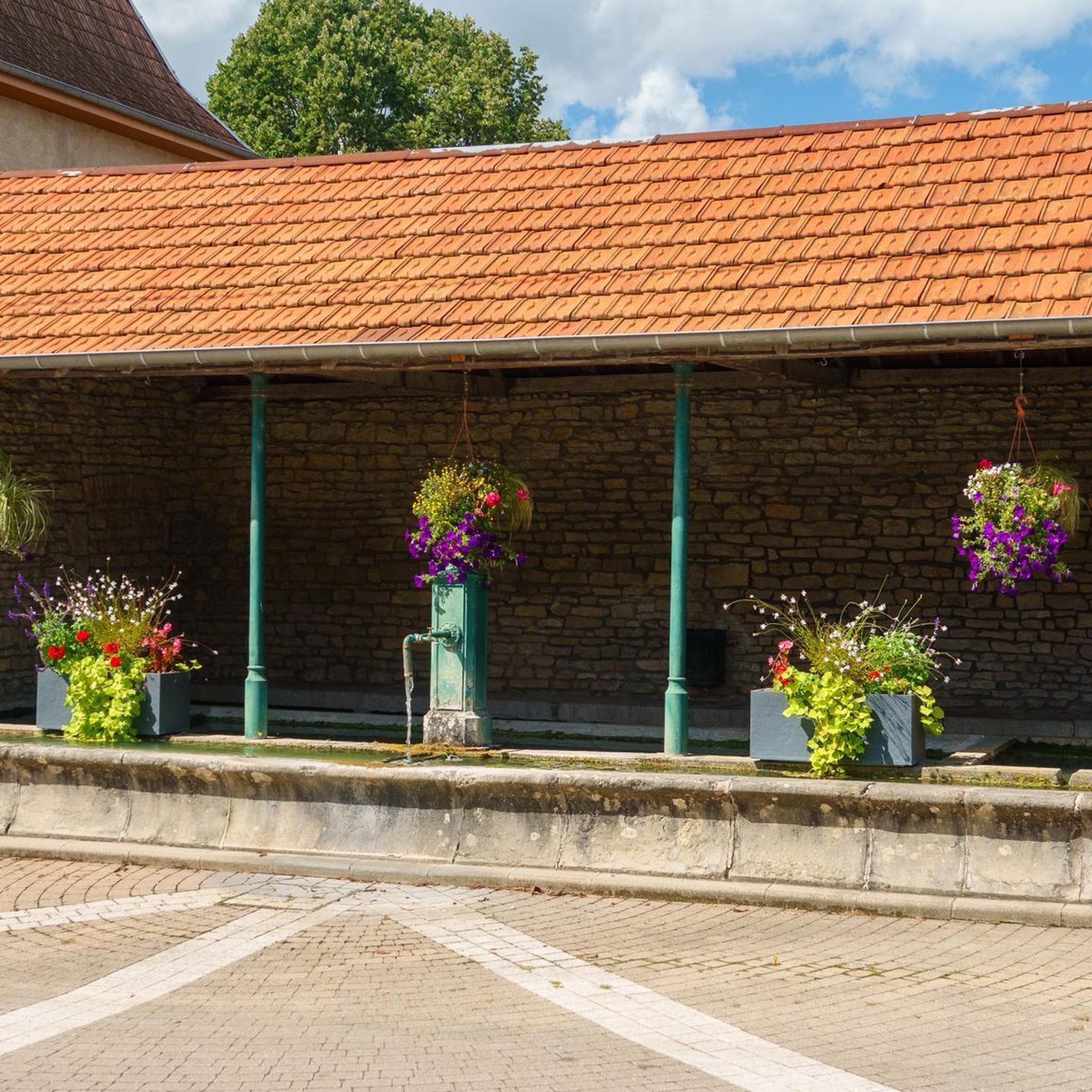
Water hole in a deep oak forest.
0
0

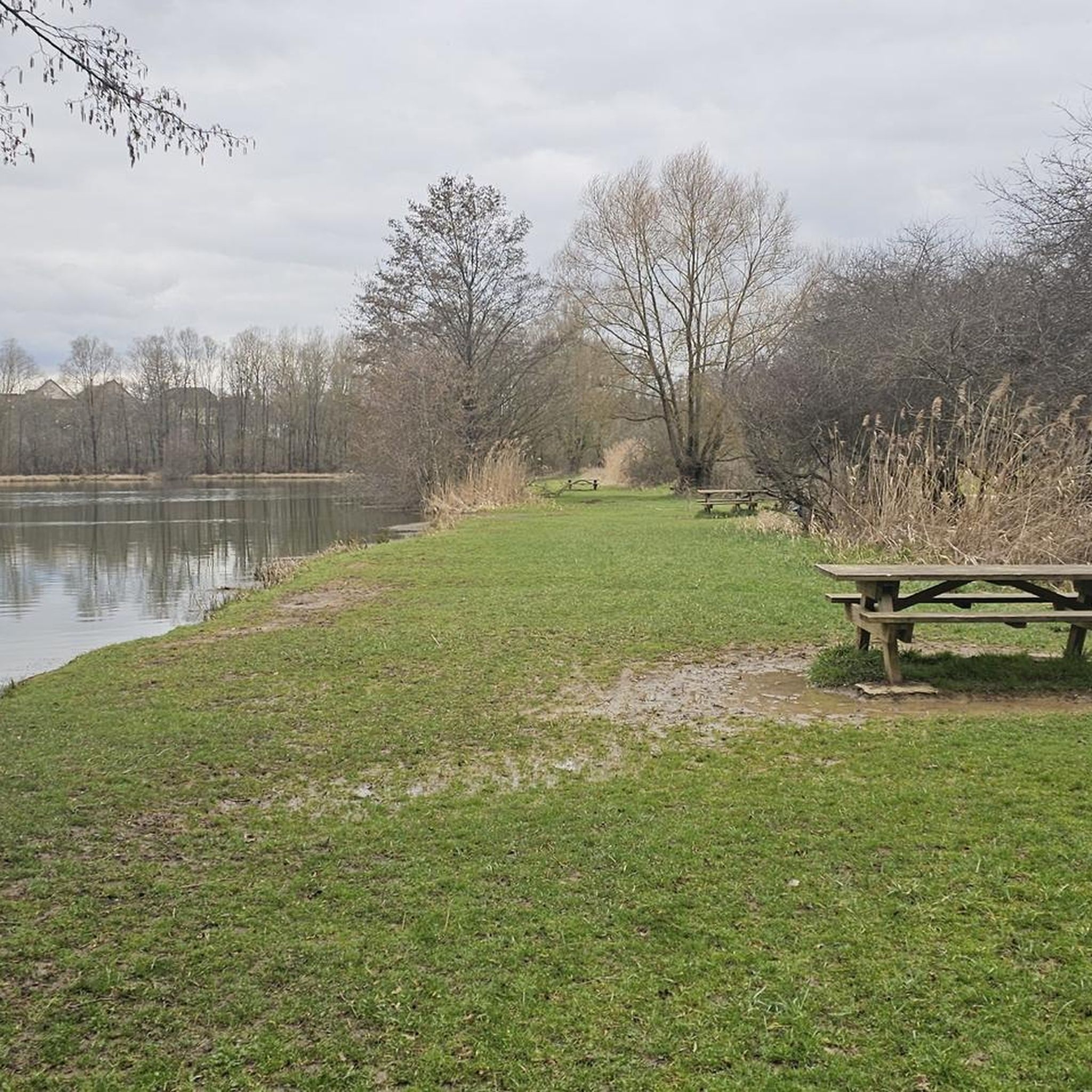
The Aurêtre pond is located north of Besançon in the commune of Geneuille. It presents a pretty bucolic setting when nature is in bloom.
0
0

Frequently Asked Questions
What kind of terrain can I expect on the running trails around Geneuille?
Geneuille's running trails offer a diverse mix of terrain. You'll find paths through extensive forests, providing varied natural landscapes. The town's location in a valley along the Ognon River also suggests picturesque riverside routes, and the transformed former gravel pit, La Gravière de Geneuille, features a well-maintained promenade. This combination ensures a mix of flat sections and undulating paths, catering to different running preferences.
Are there any easy or beginner-friendly running routes in Geneuille?
Yes, Geneuille offers routes suitable for beginners. While many trails are moderate, there are 2 easy routes available. These provide a gentle introduction to the area's natural beauty, allowing for a comfortable and enjoyable run.
What are some notable natural features or landmarks I can see while running in Geneuille?
The most prominent natural feature is La Gravière de Geneuille, a former gravel pit transformed into a beautiful natural site with an equipped pond and a 4.9 km promenade. Beyond the immediate running paths, you can also explore historical sites like the Citadel of Besançon or the Vauban Citadel, which are nearby attractions offering stunning viewpoints.
Are there any circular running routes available in Geneuille?
Yes, many of the running routes in Geneuille are designed as loops, offering convenient circular paths. For example, the popular Running loop from Geneuille and the Aurêtre Pond loop from Geneuille are both excellent circular options for exploring the area.
What do other runners say about the trails in Geneuille?
The running routes in Geneuille are highly regarded by the komoot community, holding an impressive average rating of 4.3 stars from over 20 reviews. More than 700 runners have used komoot to explore the varied terrain, often praising the diverse landscapes, from forest trails to riverside paths and the natural site of La Gravière.
Are the running routes in Geneuille suitable for families?
Geneuille's commitment to recreational spaces, including communal lands for walking and outdoor games, suggests a family-friendly environment. While specific 'family-friendly' routes aren't explicitly categorized, the presence of easy routes and well-maintained paths like the promenade at La Gravière make it suitable for families looking for a gentle run or walk together.
Can I bring my dog on the running trails in Geneuille?
While the region's natural areas, including forests and riverside paths, are generally welcoming to dogs, it's always advisable to check local regulations for specific trails, especially within managed natural sites like La Gravière. Typically, dogs are permitted on trails if kept on a leash.
How long are the running trails around Geneuille?
The running trails in Geneuille vary in length. For instance, the Running loop from Geneuille is about 10.7 km (6.6 miles), while the Étang de la Gravière loop from Geneuille extends to approximately 12.8 km (7.9 miles). There are also shorter options available, ensuring routes for various distances and fitness levels.
Is there parking available near the running routes in Geneuille?
While specific parking locations for each route are not detailed, Geneuille, as a town with dedicated recreational areas like La Gravière (which includes picnic and children's play areas), likely offers accessible parking facilities for visitors looking to enjoy its outdoor activities. It's recommended to check local signage upon arrival.
What is the best time of year to go running in Geneuille?
Geneuille's diverse natural landscapes, including forests and riverside paths, make it suitable for running throughout much of the year. Spring and autumn offer pleasant temperatures and beautiful scenery, while summer provides longer daylight hours. The well-maintained paths, such as those at La Gravière, can also be enjoyable during milder winter days.
How many running routes are available in Geneuille, and what variety can I expect?
There are 18 running routes available around Geneuille. You can expect a good variety, including 2 easy routes perfect for a gentle jog, 14 moderate routes for a balanced challenge, and 2 difficult routes for more experienced runners seeking a demanding workout.
Most popular attractions around Geneuille

Get inspired with the komoot mobile app


Explore more
Browse the best Running Trails & Routes in other regions.
