The best walks and hikes around Gimeaux
4.6
(662)
4,616
hikers
242
hikes
Hiking around Gimeaux offers diverse landscapes in the Puy-de-Dôme region of Auvergne-Rhône-Alpes, France. The terrain features a mix of hilly, verdant areas, cultivated fields, vineyards, and forests. Hikers can experience panoramic views of the Chaîne des Puys volcanic range and the Limagne plain. Natural features include the Gour de Tazenat crater lake and the shaded Gorges d'Enval.
Best hiking trails around Gimeaux
- The most popular hiking route is View of the Chaîne des Puys – Le roc errant loop from…
Last updated: May 23, 2026
4.7
(9)
59
hikers
13.5km
04:00
400m
400m
Moderate hike. Good fitness required. Easily-accessible paths. Suitable for all skill levels.
4.9
(9)
64
hikers
7.17km
02:01
150m
150m
Moderate hike. Good fitness required. Easily-accessible paths. Suitable for all skill levels.

Sign up for free
4.9
(9)
65
hikers
9.07km
02:32
180m
180m
Moderate hike. Good fitness required. Easily-accessible paths. Suitable for all skill levels.
5.0
(3)
31
hikers
9.67km
02:50
270m
270m
Moderate hike. Good fitness required. Easily-accessible paths. Suitable for all skill levels.
5.0
(1)
10
hikers
6.67km
02:01
230m
230m
Moderate hike. Good fitness required. Easily-accessible paths. Suitable for all skill levels.
Get access to more routes and recommendations from other explorers.
Sign up for free
Already have an account?
Our route recommendations are based on thousands of hikes, rides, and runs completed by other people on komoot.
Start today with a free account
Your next adventure awaits.
Login or Signup


Tips from the Community

And to think that in the summer, it will be dry!!!
0
0

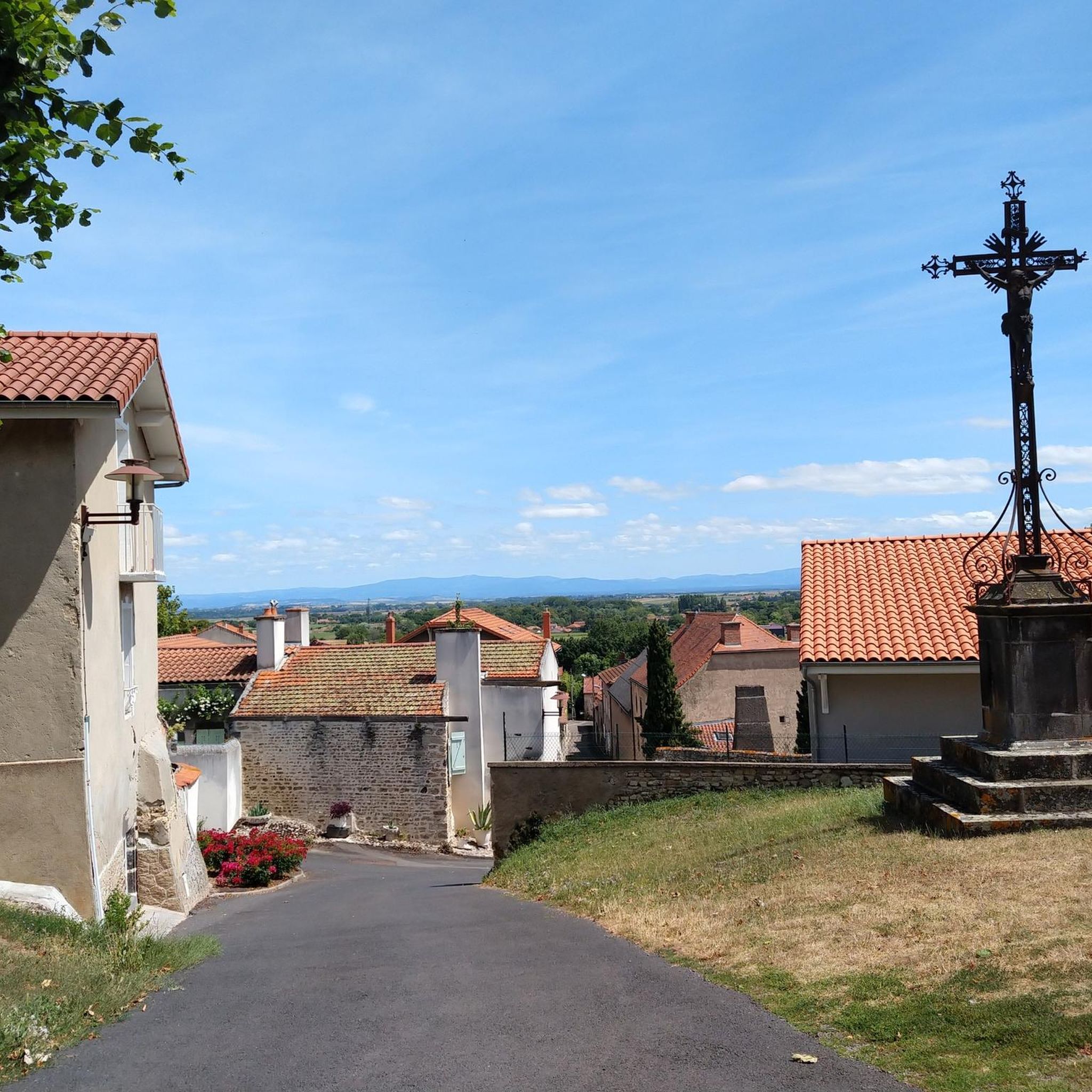
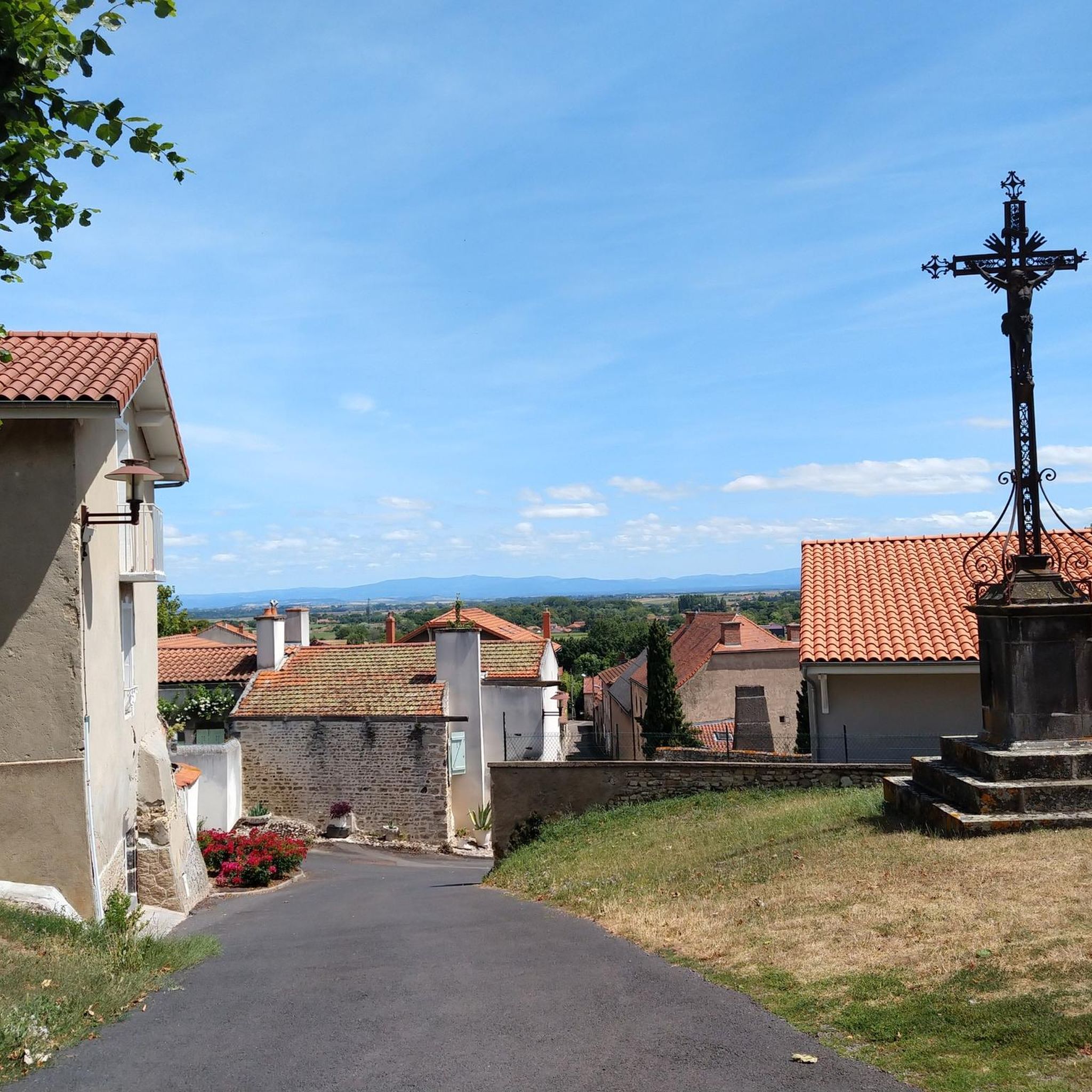
Superb view of the Puys chain.
1
0
Between Châtel-Guyon and Loubeyrat, the Prades valley is a pretty wooded valley crossed by the Grosliers stream.
0
0

Memorial firefighter who died in 1986 following a forest fire
0
0

Even more beautiful with the setting sun
0
0
Frequently Asked Questions
How many hiking trails are available around Gimeaux?
Gimeaux offers a wide variety of hiking opportunities, with over 230 routes available. These range from easy strolls through fields to more moderate ascents with panoramic views.
Are there easy hiking trails suitable for beginners or families in Gimeaux?
Yes, Gimeaux has many easy trails perfect for beginners or families. Nearly half of the routes, around 118, are classified as easy. These often traverse picturesque fields and offer gentle elevation changes. For example, the 'Gimeaux-Combromde' trail is considered very easy, spanning 11.1 km with a 260-meter elevation gain, offering a pleasant experience through rural scenery.
What kind of natural features or viewpoints can I expect to see while hiking in Gimeaux?
Hikers in Gimeaux can enjoy diverse natural features and stunning viewpoints. The region is known for its panoramic views of the Chaîne des Puys volcanic range and the expansive Limagne plain. You can also discover the magnificent Gour de Tazenat crater lake, accessible via a scenic path. For shaded walks, the Gorges d'Enval, with the Ambène stream, offers a unique ecological setting. A notable viewpoint is the Gour de Tazenat Viewpoint / Chaîne des Puys, offering spectacular vistas.
Are there any circular hiking routes in Gimeaux?
Yes, many of the trails around Gimeaux are circular, allowing you to start and end at the same point. For instance, the Prades Valley – Le roc errant loop from Châtel-Guyon is a moderate 9.7 km circular route that takes you through varied landscapes.
Can I hike with my dog on the trails around Gimeaux?
Generally, dogs are welcome on many hiking trails in the Gimeaux region, especially on paths that traverse open fields and forests. However, it's always advisable to keep them on a leash, particularly near livestock or in protected natural areas. Specific regulations may apply in certain zones, so look for local signage.
Are there any trails that feature waterfalls in the Gimeaux area?
Yes, the region offers trails where you can encounter waterfalls. The Waterfall – To have it or not loop from Teilhède is a moderate 6.7 km route that includes a waterfall. Additionally, the Ambène Waterfall is a specific highlight you can seek out.
What historical sites or landmarks can be seen near Gimeaux while hiking?
The Gimeaux area is rich in vernacular heritage and historical sites. Along the Morge river, you might discover old mills, wash houses, and crosses. From many hiking paths, you can spot the historic Château de Tournoël. Other notable historical sites include the Ruins of the Priory of Saint-Coust and the ancient Châteaugay Cellars.
What is the best time of year to go hiking in Gimeaux?
The best time to hike in Gimeaux is generally during spring, summer, and early autumn. Spring brings blooming wildflowers and mild temperatures, while summer offers warm weather perfect for exploring, especially in shaded areas like the Gorges d'Enval. Autumn provides pleasant temperatures and beautiful fall foliage. Winters can be colder, but some trails remain accessible.
Where can I find parking for hiking trails around Gimeaux?
Parking is generally available near trailheads in and around Gimeaux and its neighboring villages like Châtel-Guyon, Davayat, and Prompsat. Specific parking information is often detailed on local trail maps or within hiking apps like komoot for individual routes.
What do other hikers say about the trails in Gimeaux?
The hiking trails in Gimeaux are highly regarded by the komoot community, holding an average rating of 4.6 stars from over 650 reviews. Hikers frequently praise the diverse landscapes, the extensive views of the Chaîne des Puys, and the well-maintained paths that cater to various ability levels.
Are there any accommodations or places to eat near the hiking areas in Gimeaux?
Yes, Gimeaux and its surrounding villages offer various amenities for hikers. You can find local restaurants, cafes, and pubs for refreshments. For overnight stays, there are gîtes d'étape and other accommodation options available in the area, providing convenient bases for exploring the trails.
What are the typical elevation gains on hikes in Gimeaux?
The elevation gains on hikes in Gimeaux vary significantly depending on the trail's difficulty. Easy routes might have gentle ascents of around 150-250 meters, while moderate trails can feature elevation gains of 250-400 meters. The region's hilly terrain and proximity to the Chaîne des Puys mean that even moderate routes can offer engaging climbs.
Most popular attractions around Gimeaux

Get inspired with the komoot mobile app


Explore more
Browse the best Hikes in other regions.
