The best road cycling routes around Serre-Les-Sapins
4.6
(370)
13,424
riders
607
rides
Road cycling routes around Serre-Les-Sapins offer diverse terrain, situated on a hilltop with altitudes ranging between 238 and 309 meters. The region features a semi-rural ambiance with agricultural lands and the 166-hectare Forêt de la Menère, providing a green backdrop for rides. Proximity to Besançon and the Doubs river means routes often include scenic views of the city's iconic Citadel. This area provides a blend of varied elevations and natural landscapes for road cyclists.
Best road cycling routes around Serre-Les-Sapins
…Last updated: July 8, 2026
5.0
(4)
156
riders
168km
07:39
880m
880m
Hard road ride. Very good fitness required. Some segments of this route may be unpaved and difficult to ride.
53
riders
92.8km
03:58
620m
620m
Moderate road ride. Good fitness required. Some segments of this route may be unpaved and difficult to ride.

Sign up for free
5.0
(2)
78
riders
38.2km
02:09
760m
760m
Moderate road ride. Good fitness required. Some segments of this route may be unpaved and difficult to ride.
24
riders
69.2km
03:28
1,090m
1,090m
Hard road ride. Very good fitness required. Some segments of this route may be unpaved and difficult to ride.
4.0
(1)
17
riders
32.4km
01:24
230m
230m
Easy road ride. Great for any fitness level. Mostly well-paved surfaces and easy to ride.
Get access to more routes and recommendations from other explorers.
Sign up for free
Already have an account?
Our route recommendations are based on thousands of hikes, rides, and runs completed by other people on komoot.
Start today with a free account
Your next adventure awaits.
Login or Signup
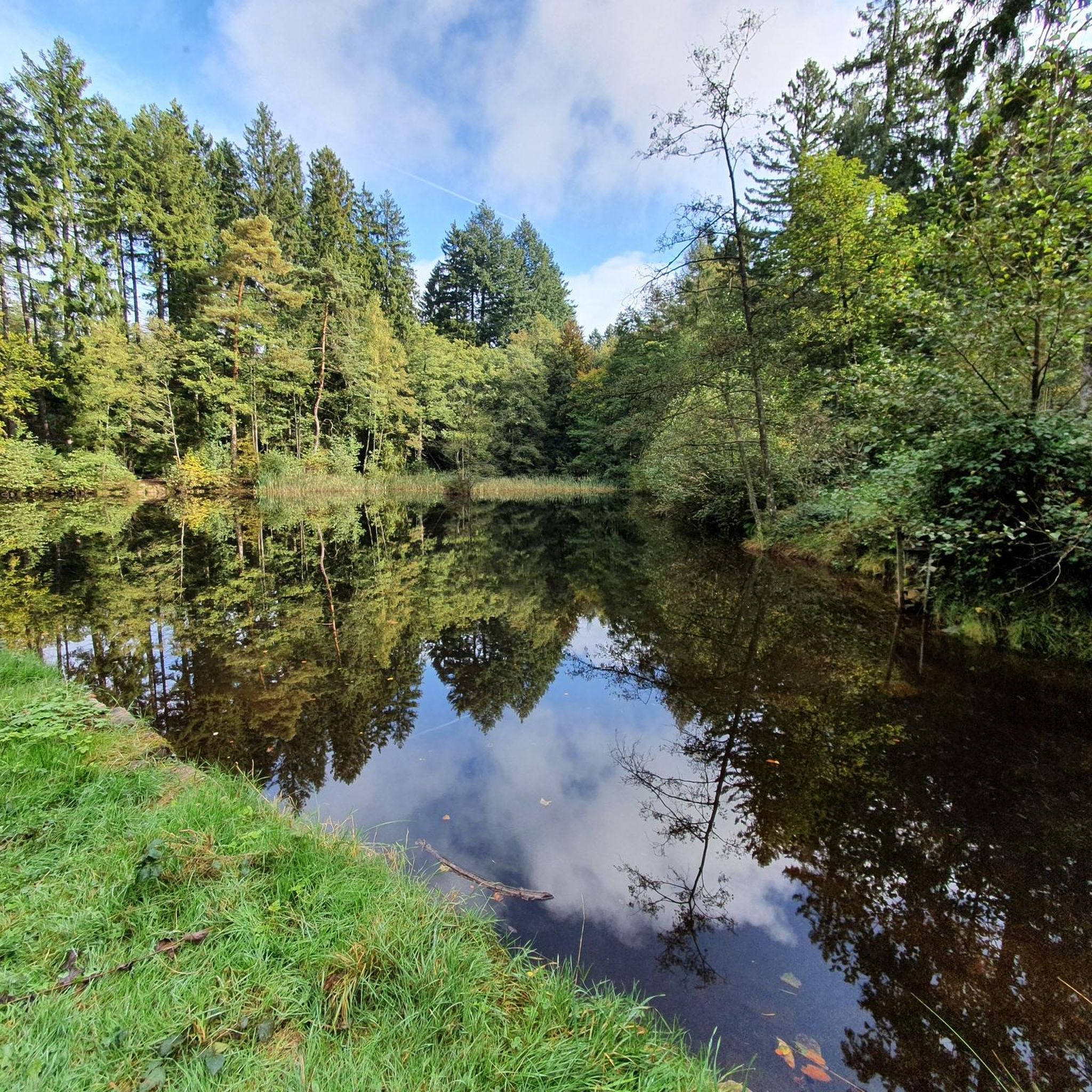
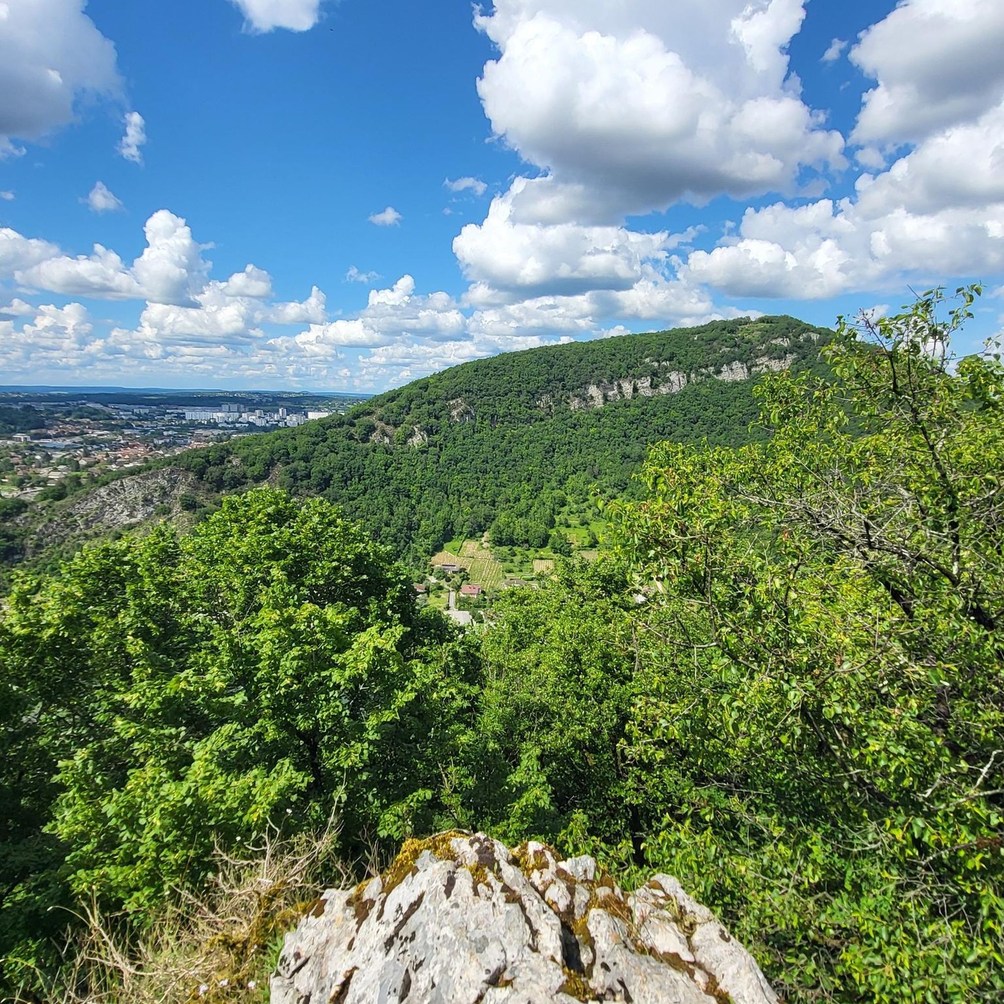
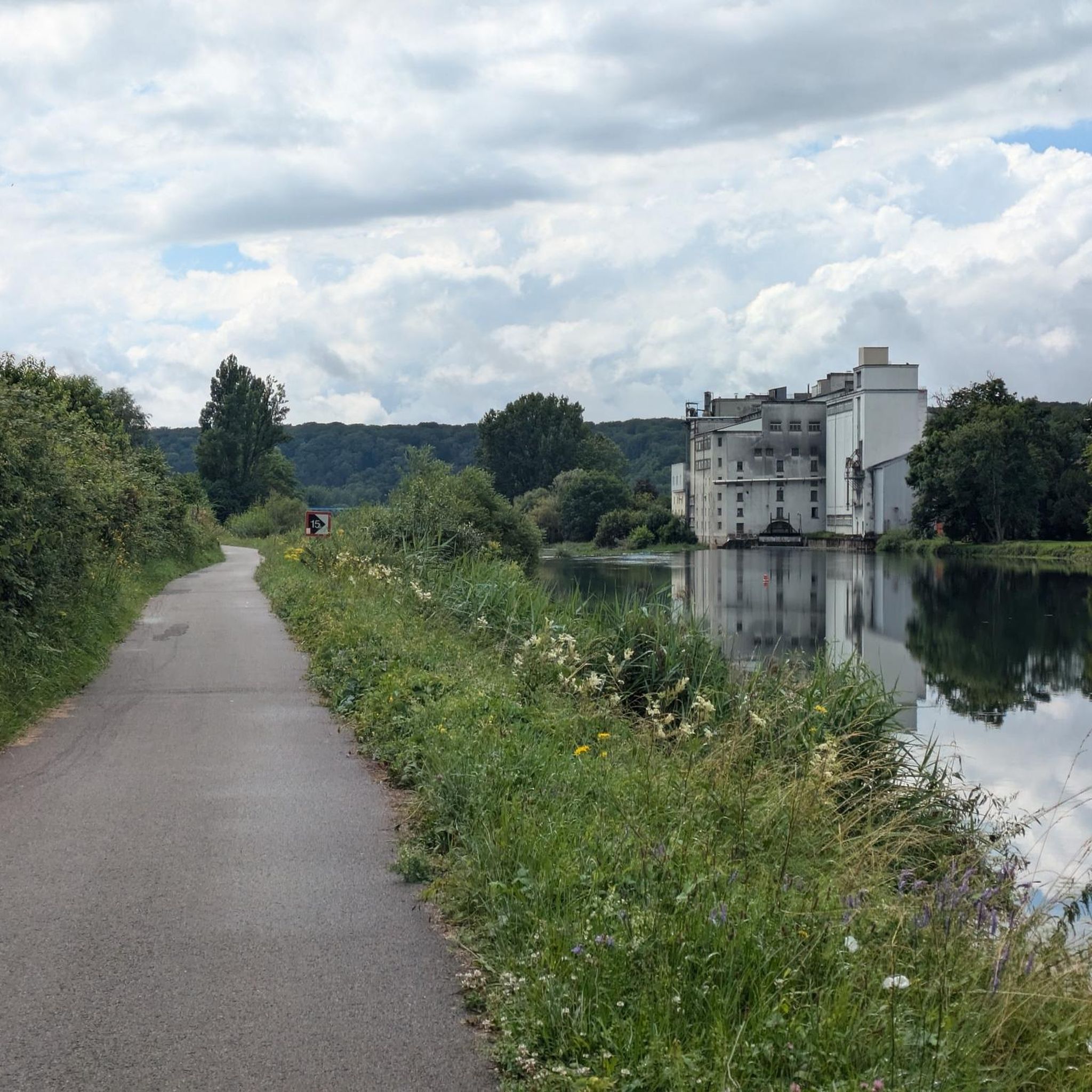
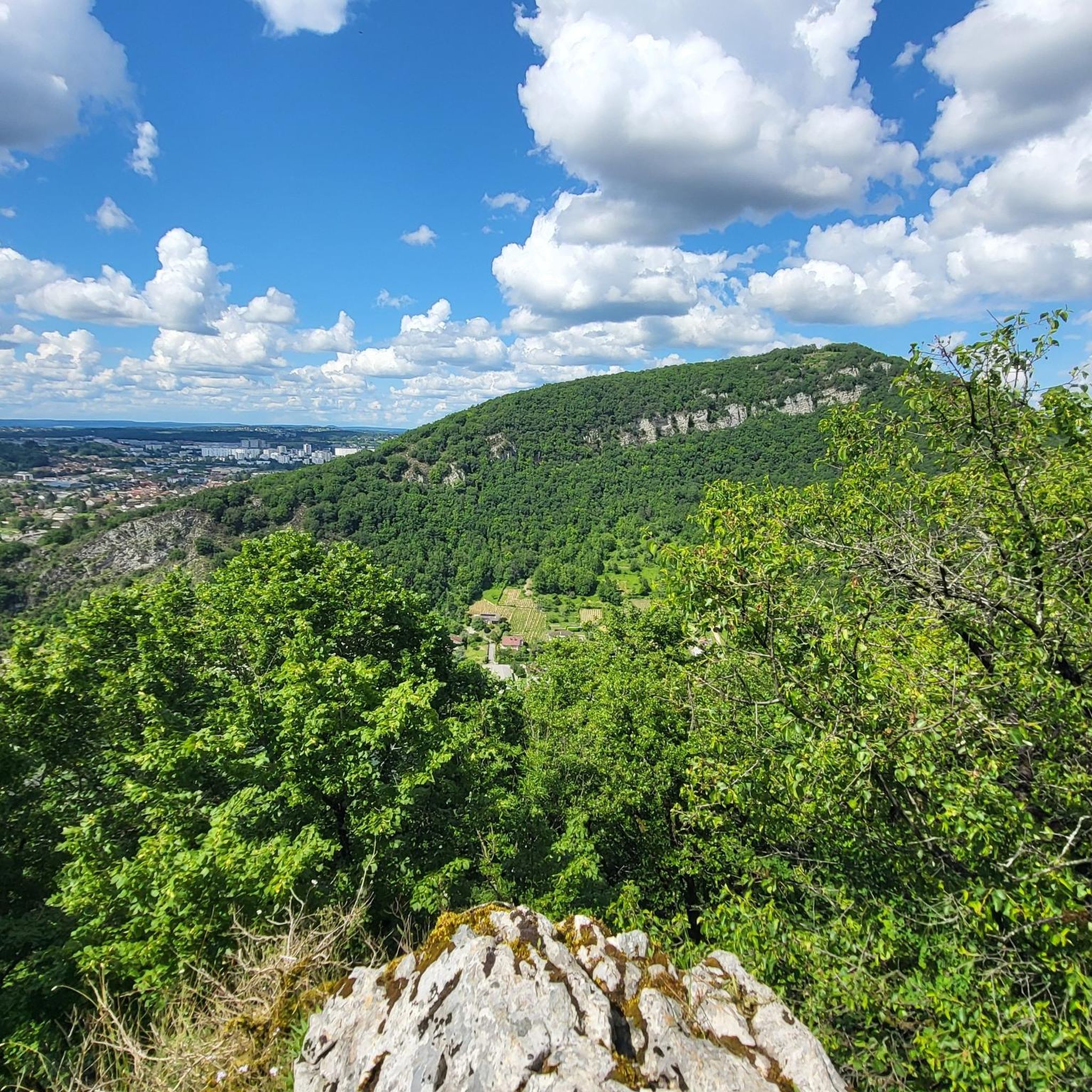
Tips from the Community

Imposing complex which is worth a visit.
0
0

A curiosity: the river tunnel under the citadel
0
0
UNESCO World Heritage Site
0
0
UNESCO World Cultural Heritage
0
0

According to the listing: Pets welcome https://de.montagnes-du-jura.fr/sit/grotte-dosselle
0
0

Does anyone know if you can go in there with a dog?
0
0


Interesting section through the tunnel, always beautiful.
0
0
Frequently Asked Questions
How many road cycling routes are available around Serre-Les-Sapins?
There are nearly 600 road cycling routes around Serre-Les-Sapins, offering a wide variety of options for all skill levels. Over 12,500 road cyclists have already explored this diverse terrain using komoot.
What kind of terrain can I expect on road cycling routes in Serre-Les-Sapins?
The region offers diverse terrain, from the hilltop location of Serre-Les-Sapins itself (238m to 309m altitude) to the surrounding agricultural lands and the dense Forêt de la Menère. You'll find a mix of gentle hills, varied elevations, and scenic stretches along the Doubs river.
Are there easy road cycling routes suitable for beginners in Serre-Les-Sapins?
Yes, Serre-Les-Sapins offers a good selection of easy road cycling routes. For example, the Percée de Thoraise – Lock 53 loop from Franois is an easy 30.9 km path that follows the Doubs river, perfect for a relaxed ride.
What are some notable landmarks or viewpoints I can see while road cycling?
Many routes offer picturesque views, especially along the Doubs river, where you can often spot the iconic Citadel of Besançon, a UNESCO World Heritage site. Other historical points of interest include the Vauban Citadel and the Thoraise Tunnel.
Are there challenging road cycling routes for experienced riders?
Absolutely. The area features routes with significant elevation gains for more advanced cyclists. For instance, the Cycling bridge over the Loue – Citadel of Besançon loop from Franois is a difficult 74 km route with over 1100 meters of elevation gain.
What do other road cyclists enjoy most about the routes in Serre-Les-Sapins?
The road cycling routes in Serre-Les-Sapins are highly rated by the komoot community, with an average score of 4.7 stars from over 300 reviews. Cyclists often praise the blend of natural beauty, varied terrain, and scenic views of the Doubs river and the Citadel of Besançon.
Are there circular road cycling routes available?
Yes, many of the road cycling routes around Serre-Les-Sapins are designed as loops, allowing you to start and finish at the same point. Examples include the Citadel Tunnel – Citadel of Besançon loop from Franois and the Fontain – Percée de Thoraise loop from Franois.
Can I find routes that pass through forests or natural areas?
Yes, a significant portion of the commune is covered by the 166-hectare Forêt de la Menère. Many routes utilize peripheral roads or pass through areas with dense forests, providing a serene and green backdrop for your ride.
What is the best time of year for road cycling in Serre-Les-Sapins?
The region is generally pleasant for road cycling from spring through autumn. These seasons offer mild temperatures and vibrant landscapes, making for ideal riding conditions. Always check local weather forecasts before heading out.
Are there any routes that offer views of historical sites like castles?
Yes, several routes provide views of historical sites. The Recologne Castle – View of Recologne loop from Franois is one such route that allows you to experience the region's historical charm while cycling.
How can I find parking for road cycling routes in Serre-Les-Sapins?
While specific parking details vary by route, many routes start from villages or towns like Franois, which typically offer public parking options. It's advisable to check the starting point of your chosen route on komoot for more precise parking information.
Most popular routes around Serre-Les-Sapins
Most popular attractions around Serre-Les-Sapins

Get inspired with the komoot mobile app


Explore more
Browse the best Road cycling routes in other regions.
