The best road cycling routes around Richelingen
4.6
(135)
2,719
riders
151
rides
Road cycling routes around Richelingen traverse a landscape characterized by river valleys, agricultural plains, and gentle rolling hills. The region offers a mix of open stretches and routes that pass by waterways and historical points of interest. Elevations are generally moderate, making it suitable for various fitness levels.
Best road cycling routes around Richelingen
- The most popular road cycling route is Bissert lock – Albe Aqueduct loop from Rémering-lès-Puttelange, a 25.7 miles (41.4 km) trail that takes 1 hour…
Last updated: May 25, 2026
5.0
(1)
31
riders
41.4km
01:59
250m
250m
Moderate road ride. Great for any fitness level. Some segments of this route may be unpaved and difficult to ride.
13
riders
43.4km
02:00
350m
350m
Moderate road ride. Good fitness required. Mostly well-paved surfaces and easy to ride.

Sign up for free
9
riders
43.2km
01:57
320m
320m
Moderate road ride. Good fitness required. Mostly well-paved surfaces and easy to ride.
7
riders
29.4km
01:32
280m
280m
Moderate road ride. Great for any fitness level. Some segments of this route may be unpaved and difficult to ride.
8
riders
Moderate road ride. Great for any fitness level. Some segments of this route may be unpaved and difficult to ride.
Get access to more routes and recommendations from other explorers.
Sign up for free
Already have an account?
Our route recommendations are based on thousands of hikes, rides, and runs completed by other people on komoot.
Start today with a free account
Your next adventure awaits.
Login or Signup
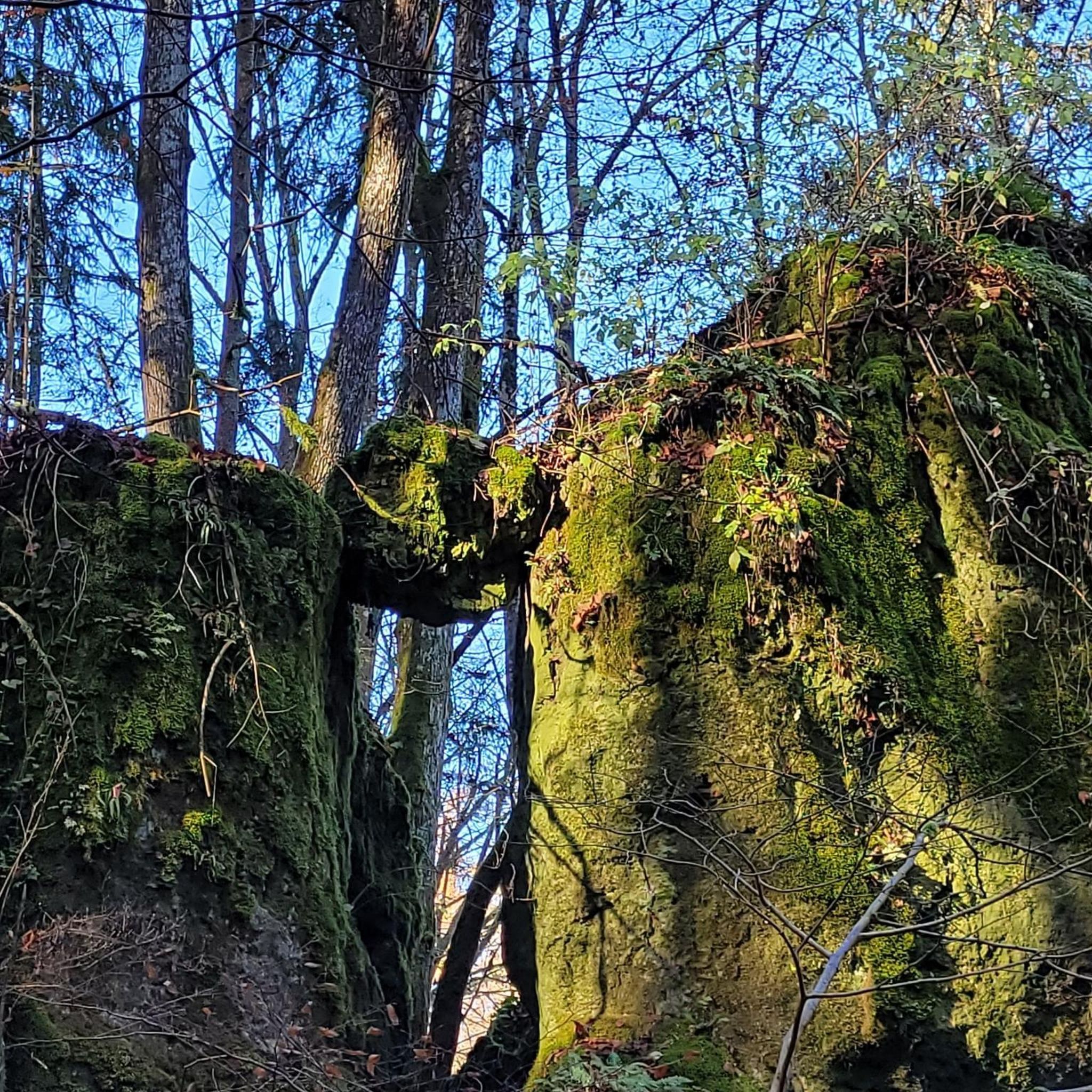
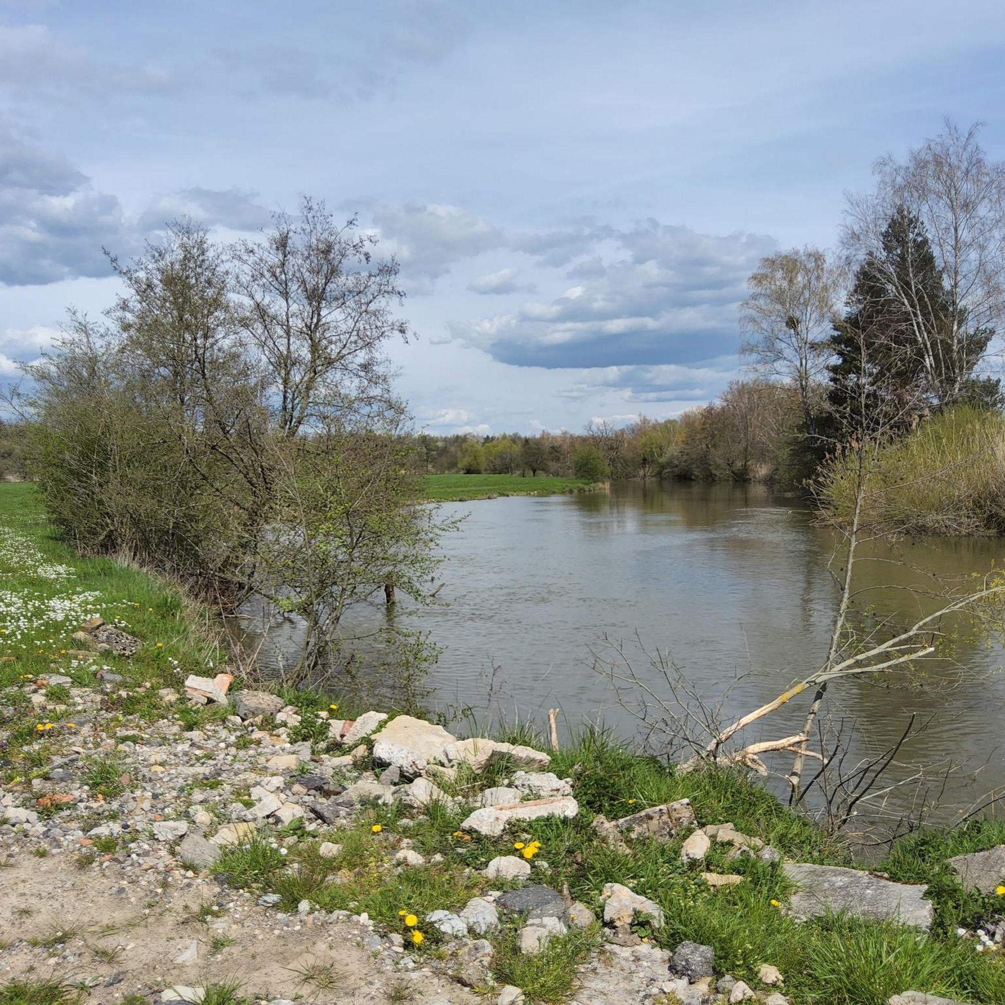
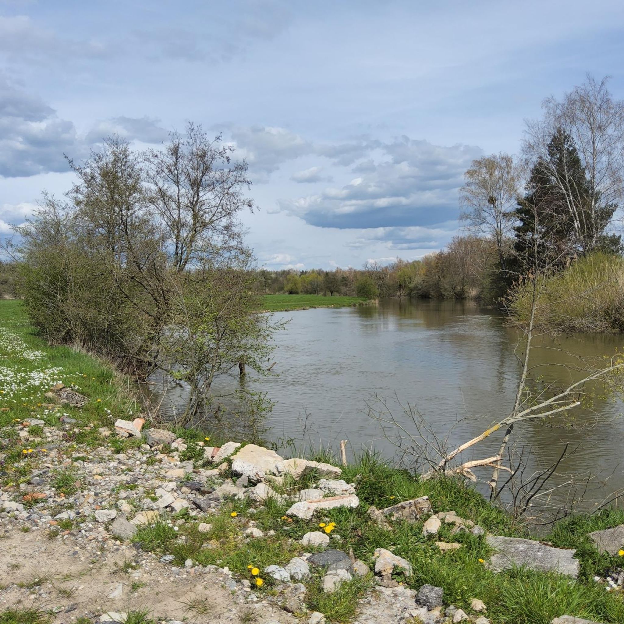
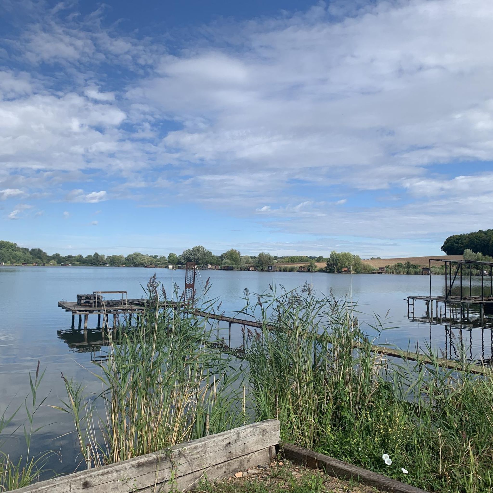
Tips from the Community

When I passed the ordeal was no longer there 🤷🏻♀️
1
0

A very beautiful sandstone cross from the 17th century.
1
0

On the old Roman road, now transformed into a cycle path, three crosses bring two local legends to life. To learn more, you'll have to lift your foot to read the information panel. The site was rehabilitated in 2007.
0
0
The Hoste Bas pond borders the Hoste Haut pond. It was part of the Maginot Line defense system. Today, they are home to numerous species of fish, much to the delight of anglers.
0
1
The Diefenbach Pond covers 75 hectares and is one of the must-see sites along the aquatic Maginot Line. It is home to a wide variety of wildlife. It's not uncommon to encounter ducks, geese, and herons on the banks while strolling.
0
0


“Each of these crosses can tell its own story and what motivated people to erect “their” cross at this spot. (...) These wayside crosses were erected as visible signs and attract the attention of many people. The cross is a symbol of life. It stands as a sign of our Christian hope and aims to direct our gaze to Jesus Christ, who has overcome death (...). The cross is part of our lives, just as it was part of the life of Jesus. So I hope that many people ... will visit the wayside crosses, whether as places of silence and breathing before God, whether as places of community gathering, prayer and praise of God.” (Text source: Dean Rainald M. Ollig in: “Wayside crosses... small sacred monuments as signs of popular piety”)
1
1
Frequently Asked Questions
How many road cycling routes are available in Richelingen?
Richelingen offers a wide selection of road cycling routes, with over 150 tours recorded on komoot. These routes traverse a landscape of river valleys, agricultural plains, and gentle rolling hills, providing diverse options for cyclists.
Are there easy road cycling routes suitable for beginners in Richelingen?
Yes, Richelingen has numerous easy road cycling routes perfect for beginners or those seeking a relaxed ride. Approximately 28 routes are classified as easy, featuring moderate elevations and scenic stretches along waterways and through the countryside.
What options are available for more challenging road cycling in Richelingen?
For experienced cyclists looking for a challenge, Richelingen offers around 20 difficult road cycling routes. These routes often include more significant elevation gains and longer distances, such as the Vahl-les-Bénestroff – Montdidier loop from Rémering-lès-Puttelange, which covers over 80 km with nearly 800 meters of ascent.
Are there circular road cycling routes in Richelingen?
Many of the road cycling routes in Richelingen are designed as loops, allowing you to start and finish at the same point. Examples include the popular Bissert lock – Albe Aqueduct loop from Rémering-lès-Puttelange and the scenic Along the Saar – Sarreguemines loop from Grundviller.
What kind of scenery can I expect on road cycling routes around Richelingen?
Road cycling in Richelingen offers varied scenery, characterized by river valleys, agricultural plains, and gentle rolling hills. You'll find routes that follow waterways, pass through charming local countryside, and offer views of historical points of interest. The 17th Century Calvary – View of Insming loop from Rémering-lès-Puttelange provides a mix of cultural sights and landscapes.
What are some scenic viewpoints or landmarks to look out for?
Along the routes, you can discover several interesting points. The Sarreguemines Riverside Promenade offers pleasant views, and the Saar Coal Canal at Dieding provides a glimpse into the region's industrial heritage. You might also pass by the Harbor of the old Saar barges.
Are there any routes that pass by lakes or water bodies?
Yes, several routes incorporate lakes and ponds into their scenery. For instance, the Lower Hoste Pond – Lower Hoste Pond loop from Rémering-lès-Puttelange directly features the beautiful Lower Hoste Pond. Other nearby lakes include Étang de Diebling and Welschhof Pond.
What do other road cyclists say about the routes in Richelingen?
The road cycling routes in Richelingen are highly regarded by the komoot community, holding an average rating of 4.8 stars from over 150 reviews. Cyclists often praise the varied terrain, well-maintained paths, and the blend of natural beauty with cultural points of interest.
When is the best time of year for road cycling in Richelingen?
The spring and autumn months generally offer the most pleasant conditions for road cycling in Richelingen, with milder temperatures and beautiful seasonal foliage. Summer can also be enjoyable, though it's advisable to start earlier in the day to avoid the midday heat.
How long are the road cycling routes around Richelingen?
The length of road cycling routes in Richelingen varies significantly. You can find shorter rides, such as the popular Bissert lock – Albe Aqueduct loop at approximately 41 km, up to longer, more challenging tours like the Vahl-les-Bénestroff – Montdidier loop, which is over 80 km long.
Are there any routes that follow rivers or canals?
Yes, the region's landscape is characterized by river valleys, and several routes take advantage of this. The Along the Saar – Sarreguemines loop from Grundviller offers excellent views of the Saar river, and you can also find sections along the Cycle path along the Saar.
Most popular routes around Richelingen
Most popular attractions around Richelingen

Get inspired with the komoot mobile app


Explore more
Browse the best Road cycling routes in other regions.
