The best road cycling routes around Nommay
4.4
(252)
4,748
riders
431
rides
Road cycling around Nommay features routes through the rolling terrain of the Bourgogne-Franche-Comté region. The landscape is characterized by river valleys, agricultural plains, and forested areas, with moderate elevation changes suitable for road biking. Routes often connect local towns and villages, offering varied scenery. The region's topography provides a mix of flat sections and gradual climbs.
Best road cycling routes around Nommay
- The most popular road cycling route is Présentvillers <-> Bart – Montbéliard loop from Vieux-Charmont, a 30.9 miles…
Last updated: July 2, 2026
2.7
(3)
56
riders
Easy road ride. Great for any fitness level. Mostly well-paved surfaces and easy to ride.
5.0
(1)
26
riders
55.4km
02:27
410m
410m
Moderate road ride. Good fitness required. Mostly well-paved surfaces and easy to ride.

Sign up for free
5.0
(6)
38
riders
75.2km
03:12
550m
550m
Moderate road ride. Good fitness required. Mostly well-paved surfaces and easy to ride.
4.3
(3)
46
riders
39.8km
01:47
350m
350m
Moderate road ride. Good fitness required. Mostly well-paved surfaces and easy to ride.
5.0
(5)
15
riders
55.9km
02:18
290m
290m
Moderate road ride. Good fitness required. Mostly well-paved surfaces and easy to ride.
Get access to more routes and recommendations from other explorers.
Sign up for free
Already have an account?
Our route recommendations are based on thousands of hikes, rides, and runs completed by other people on komoot.
Start today with a free account
Your next adventure awaits.
Login or Signup
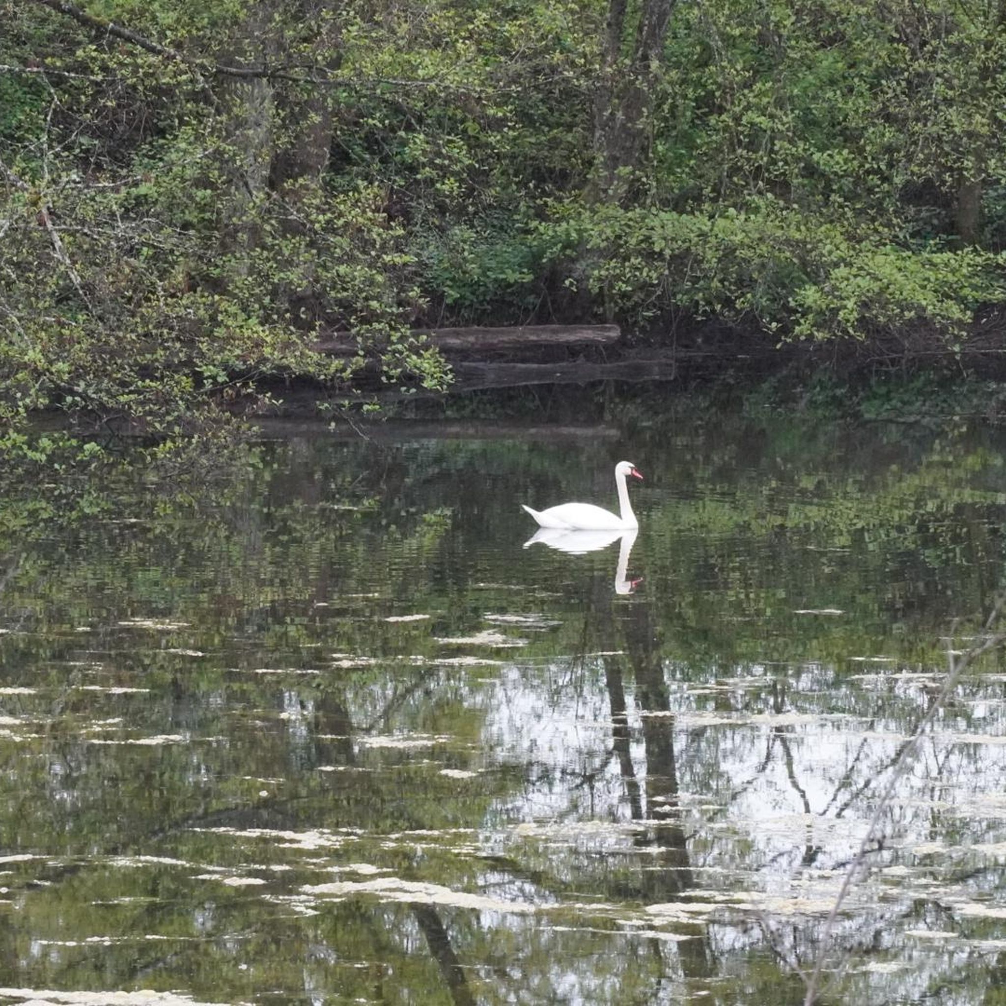
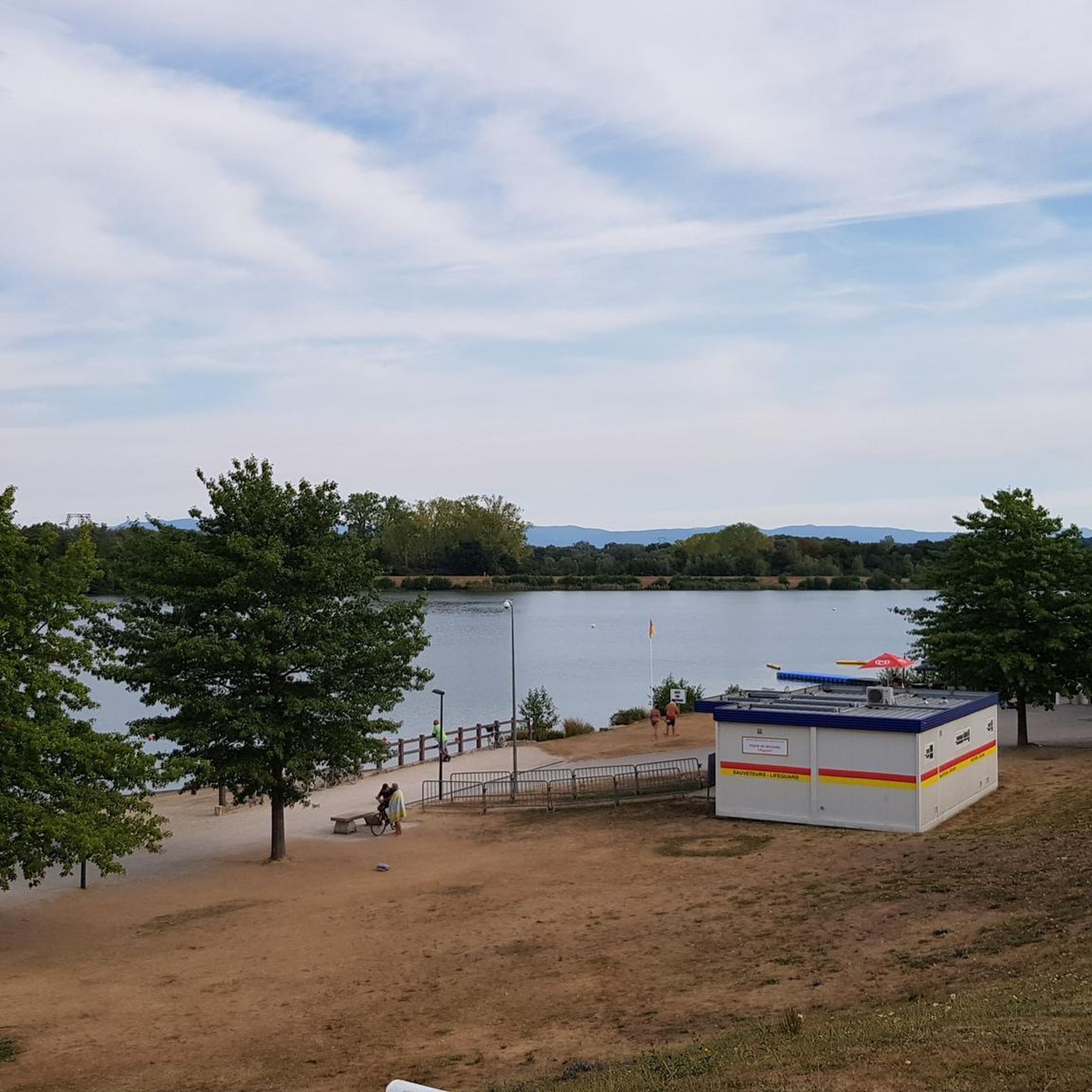
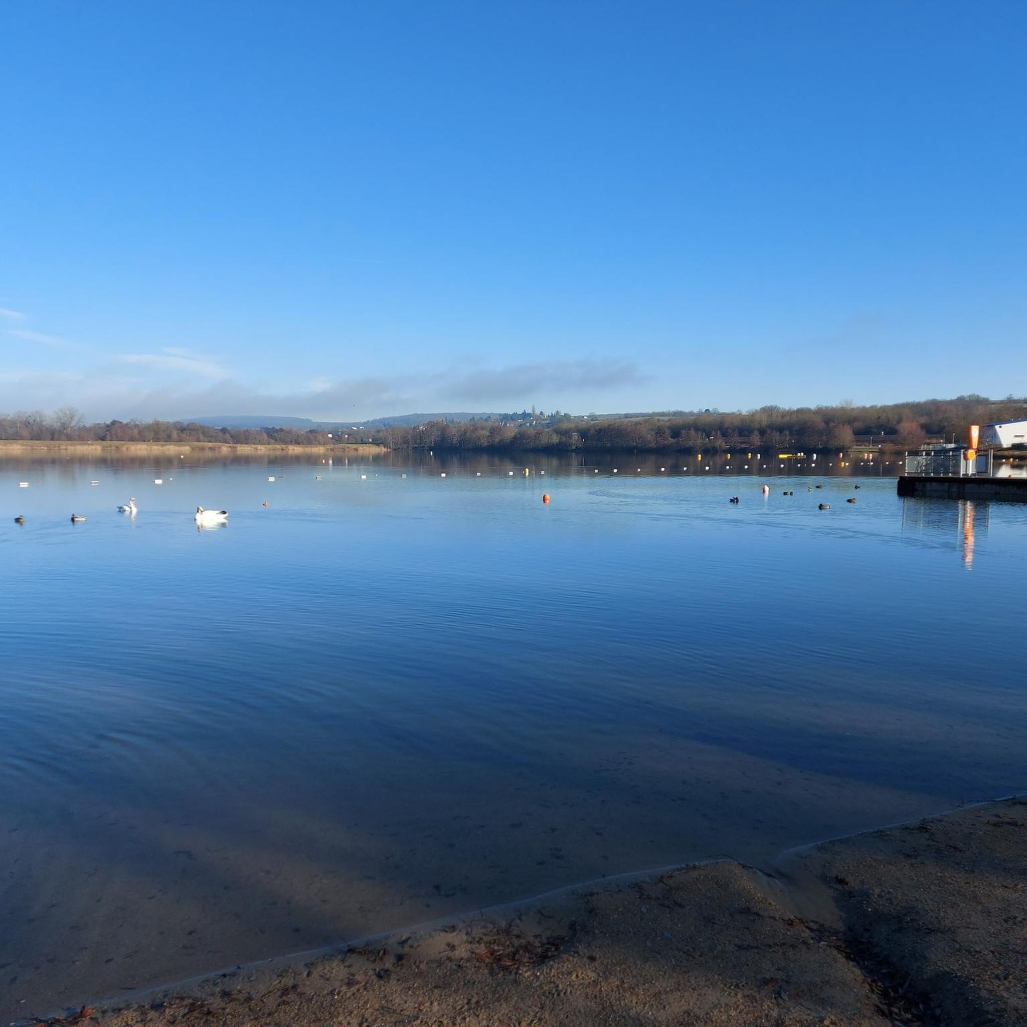


Tips from the Community

The town of Montbéliard was part of Württemberg for 400 years and was called “Mömpelgard”.
3
0

There are also toilets and a water point
0
0

This former customs house contains a repair station with tools, a room with a table, and toilets, making it ideal for fetching water and picnicking, even in the rain.
0
0


These 🚤⛵️🛥 are the welcome change on the EV6
2
0


A "chemin de halage", in German "treidelpfad", which runs alongside the waterway right next to the bed of the river or canal, was an indispensable part of the transport infrastructure in earlier times. Before ships could move using motor power, horses ran along the bank and pulled the ship against the current. This was called "treideln", and this is how the "treidelpfads" got their name, which has been passed down to this day. Where these paths directly on the bank have been preserved, they are often used by hikers and cyclists.
0
1

This landscape with the crossing canal and river is simply beautiful.
1
0
Frequently Asked Questions
How many road cycling routes are available around Nommay?
There are over 450 road cycling routes available around Nommay, offering a wide range of options for different skill levels. Approximately 70 of these are classified as easy, while nearly 300 are moderate, and close to 100 are considered difficult.
What types of terrain can I expect on road cycling routes in Nommay?
Road cycling around Nommay features routes through the rolling terrain of the Bourgogne-Franche-Comté region. You'll find a mix of river valleys, agricultural plains, and forested areas, with moderate elevation changes providing both flat sections and gradual climbs.
Are there any circular road cycling routes starting and ending in Nommay?
Yes, there are several circular routes. A popular option is the Montbéliard – Montbéliard loop from Nommay, which is a moderate 32.8-mile (52.8 km) path offering varied local scenery.
What do other road cyclists enjoy most about the routes in Nommay?
The routes in Nommay are highly rated by the komoot community, with an average score of 4.4 stars from over 220 reviews. Road cyclists often praise the varied terrain, which includes river valleys, agricultural landscapes, and forested sections, providing a diverse and engaging riding experience.
Are there any scenic viewpoints or landmarks to see along the road cycling routes?
Yes, the region offers several interesting sights. You might encounter historical sites like the Citadel of Belfort or the Fort du Mont Bart. Some routes also pass by the Montbéliard–Haute-Saône Canal beside the Allan, offering picturesque views.
What is a good moderate-difficulty road cycling route for a longer ride?
For a longer, moderate ride, consider the Présentvillers <-> Bart – Montbéliard loop from Vieux-Charmont. This 30.9-mile (49.8 km) route connects several local communities and typically takes around 2 hours 16 minutes to complete.
Are there any road cycling routes that follow river valleys?
Yes, the region's topography is characterized by river valleys. A notable route is The misty Allan - Montbéliard – Ancient Theatre of Mandeure loop from Sochaux, a 21.7-mile (34.9 km) trail that leads through the Allan river valley.
What is the best time of year for road cycling in Nommay?
The Bourgogne-Franche-Comté region generally offers pleasant cycling conditions from spring through early autumn. The moderate elevation changes make it enjoyable for road biking during these seasons, avoiding the colder winter months.
Are there routes that offer views of historical fortifications?
Absolutely. The Montbéliard – Mont Bart viewpoint loop from Dambenois is a moderate 40.6 km route that includes a viewpoint of Mont Bart, which is home to the historical Fort du Mont Bart.
How long do road cycling routes around Nommay typically take to complete?
Route durations vary based on distance and your pace. For example, the Montbéliard – Présentvillers <-> Bart loop from Vieux-Charmont, a 51.3 km moderate route, typically takes around 2 hours 17 minutes. Shorter routes, like the 34.9 km Allan river valley loop, can be completed in about 1 hour 33 minutes.
Most popular attractions around Nommay

Get inspired with the komoot mobile app


Explore more
Browse the best Road cycling routes in other regions.
