The best walks and hikes around Bethoncourt
4.5
(498)
2,832
hikers
315
hikes
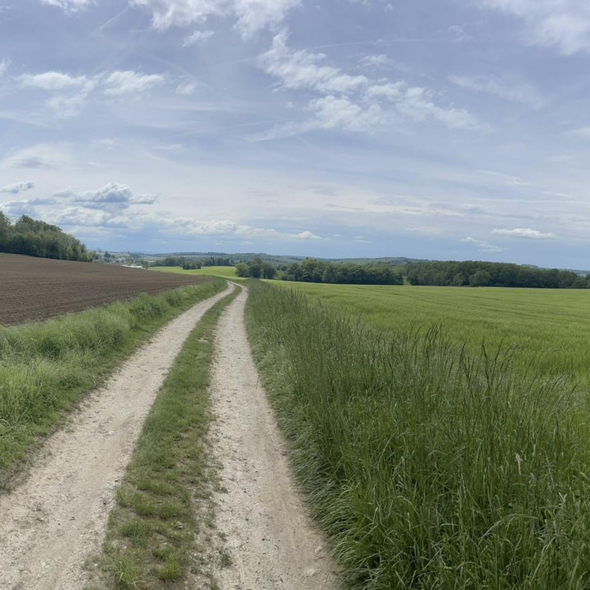
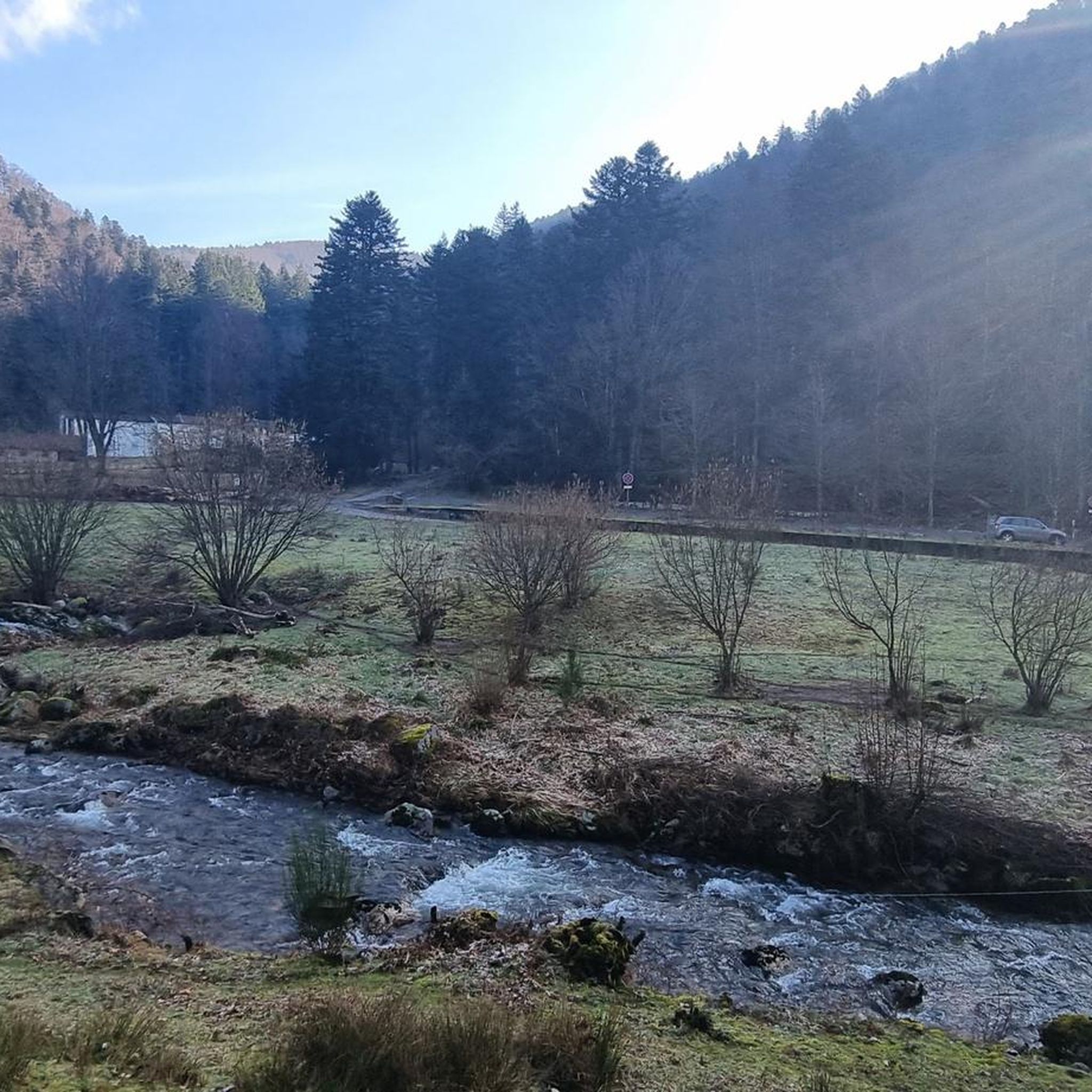
Hiking around Bethoncourt offers access to a network of trails within the Montbéliard region, characterized by river valleys, historical landmarks, and gentle rolling terrain. The area's topography includes modest elevation changes, making many routes accessible. Hikers can expect a mix of urban paths, riverside trails, and routes through local countryside. The landscape provides varied scenery for outdoor exploration.
Best hiking trails around Bethoncourt
- The most popular hiking route is Landmarks and Forts of the Montbéliard Region Trail, a 2.5…
Last updated: July 5, 2026
2.0
(1)
3
hikers
4.03km
01:02
20m
20m
Easy hike. Great for any fitness level. Easily-accessible paths. Suitable for all skill levels.
4.5
(8)
35
hikers
Easy hike. Great for any fitness level. Easily-accessible paths. Suitable for all skill levels.

Sign up for free
5.0
(2)
20
hikers
Easy hike. Great for any fitness level. Easily-accessible paths. Suitable for all skill levels.
5.0
(2)
25
hikers
Easy hike. Great for any fitness level. Easily-accessible paths. Suitable for all skill levels.
4.7
(3)
18
hikers
7.90km
02:16
190m
190m
Moderate hike. Good fitness required. Easily-accessible paths. Suitable for all skill levels.
Get access to more routes and recommendations from other explorers.
Sign up for free
Already have an account?
Our route recommendations are based on thousands of hikes, rides, and runs completed by other people on komoot.
Start today with a free account
Your next adventure awaits.
Login or Signup

Tips from the Community


The fountain with the Galileo sphere is always fascinating.
2
0
The castle of the Dukes of Württemberg was one of the residences of the German Dukes of Württemberg from the 15th century until the French Revolution.
3
0

Just a short walk from the city centre, the Montbéliard marina offers a pleasant stop for strolling along the banks of the Rhône-Rhine canal.
0
0

Many beautiful moments on the EV6.
0
0
Beautiful market hall with many shops in Montbeliard.
3
0
Worth seeing church in Montbeliard.
4
0

“Au Domaine du Cerf” is a guest house which is worth the detour not only for the welcome of its owner Etienne, but also for the beauty of the places where horses and deer reside.
1
0
Frequently Asked Questions
How many hiking trails are available around Bethoncourt?
There are over 300 hiking routes in the Bethoncourt area, offering a wide range of options for different skill levels and preferences. This includes nearly 150 easy trails and a similar number of moderate routes.
Are there any easy hikes suitable for beginners or families with children?
Yes, Bethoncourt offers many easy trails. For a gentle introduction, consider the Landmarks and Forts of the Montbéliard Region Trail, which is 4 km long and takes about an hour, connecting historical sites with minimal elevation changes. Another easy option is the Montbéliard – Château de Montbéliard loop from Montbéliard, a 5 km path featuring urban and historical landscapes.
What is the typical length and duration of hikes in the Bethoncourt region?
Hikes around Bethoncourt vary significantly. Many easy routes are between 3-5 km and can be completed in 1-2 hours. Moderate trails, like the Lavoir de Vyans-Le-Val – Le Ranch de Vyans-le-Val loop from Héricourt, can be around 8 km and take over 2 hours. There are also longer, more challenging options for experienced hikers.
Are there circular hiking routes available near Bethoncourt?
Yes, many routes in the area are circular, allowing you to start and end at the same point. Examples include the Montbéliard – Château de Montbéliard loop from Montbéliard and the Lavoir de Vyans-Le-Val – Le Ranch de Vyans-le-Val loop from Héricourt, which both offer convenient loop experiences.
Can I bring my dog on the hiking trails around Bethoncourt?
The trails around Bethoncourt are generally dog-friendly, especially those through rural countryside and along river paths. However, it's always advisable to keep your dog on a leash, particularly near livestock or in more populated urban sections of trails like the Trail Along the Savoureuse loop from Vieux-Charmont.
What kind of landscapes and attractions can I expect to see while hiking?
The Bethoncourt area offers a mix of river valleys, historical landmarks, and gentle rolling terrain. You'll find urban paths, riverside trails, and routes through local countryside. Notable sights include historical sites along routes like the Landmarks and Forts of the Montbéliard Region Trail, and the Château de Montbéliard on the Montbéliard – Château de Montbéliard loop from Montbéliard.
Are there viewpoints or scenic spots along the hiking trails?
While the terrain is generally gentle, many trails offer pleasant views of the surrounding countryside and river valleys. Routes that venture into the slightly higher elevations, such as parts of the Lavoir de Vyans-Le-Val – Le Ranch de Vyans-le-Val loop from Héricourt, provide open vistas of the rural landscape.
What do other hikers say about the trails in Bethoncourt?
The hiking routes in Bethoncourt are highly rated by the komoot community, with an average score of 4.5 stars from over 400 reviews. Hikers often praise the accessibility of the trails, the varied scenery, and the well-maintained paths that connect historical sites and natural areas.
Is it possible to reach hiking trails using public transport?
Many trails in and around Bethoncourt are accessible via public transport, particularly those starting from larger towns like Montbéliard. For example, the Montbéliard Market Halls – Saint-Martin Protestant Church loop from Montbéliard begins directly in the town center, which is well-served by local buses.
Are there cafes or places to eat near the hiking trails?
Yes, especially on routes that pass through or near towns and villages. Trails that include urban sections, such as those around Montbéliard, offer opportunities to find cafes, bakeries, and restaurants for refreshments before, during, or after your hike.
What is the best time of year to go hiking in Bethoncourt?
Spring and autumn are generally ideal for hiking in Bethoncourt, with pleasant temperatures and vibrant natural colors. Summer offers warm weather, suitable for early morning or late afternoon hikes, especially along shaded river paths. Winter hiking is possible, but some paths might be muddy or require appropriate footwear.
Are there any challenging or difficult hikes for experienced hikers?
While the majority of trails are easy to moderate, there are a few more challenging options. The region features 11 difficult routes, which typically involve greater elevation changes and longer distances, providing a good workout for experienced hikers seeking a more strenuous adventure.
Most popular routes around Bethoncourt
Most popular attractions around Bethoncourt

Get inspired with the komoot mobile app


Explore more
Browse the best Hikes in other regions.
