The best walks and hikes around La Grand-Croix
4.6
(968)
5,722
hikers
366
hikes
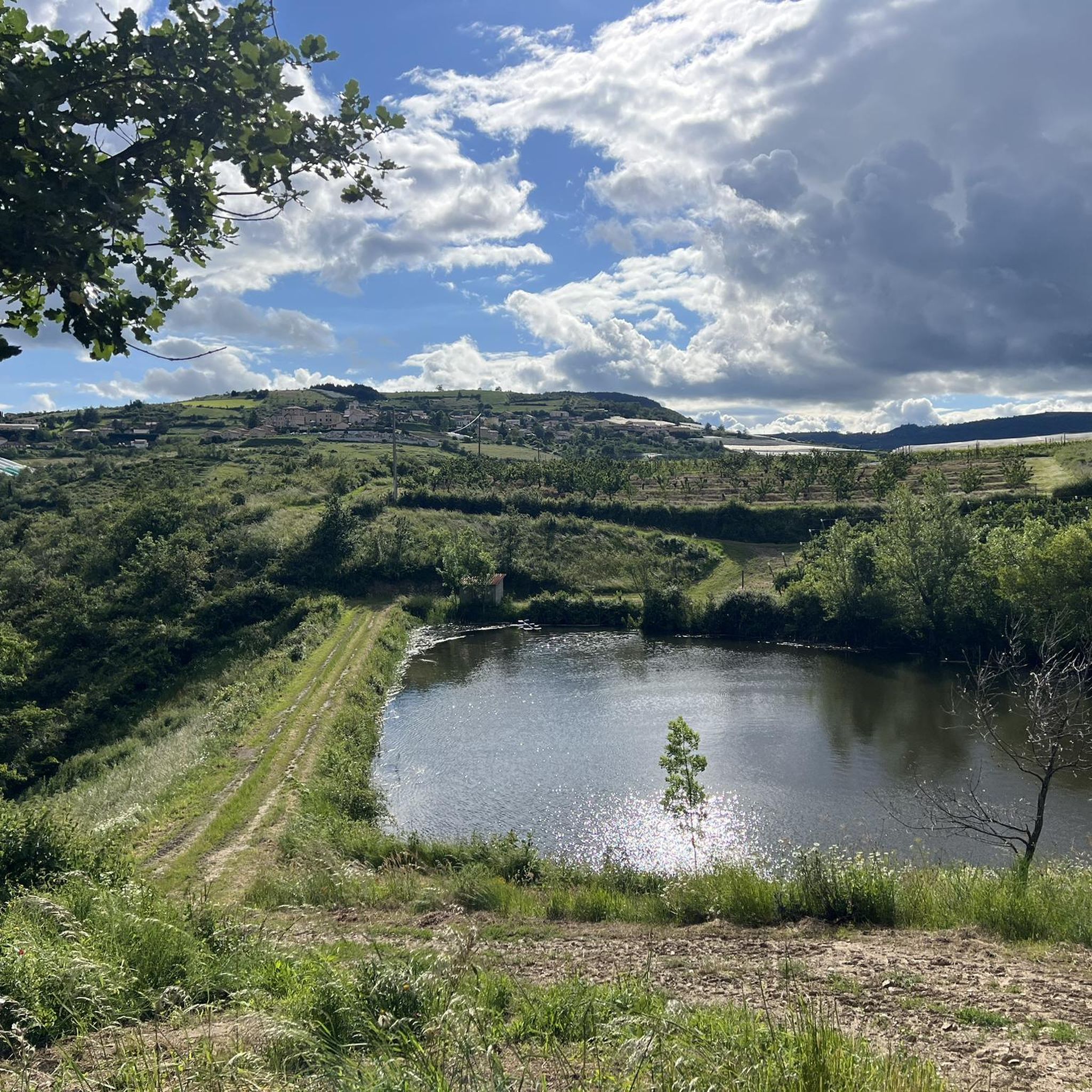
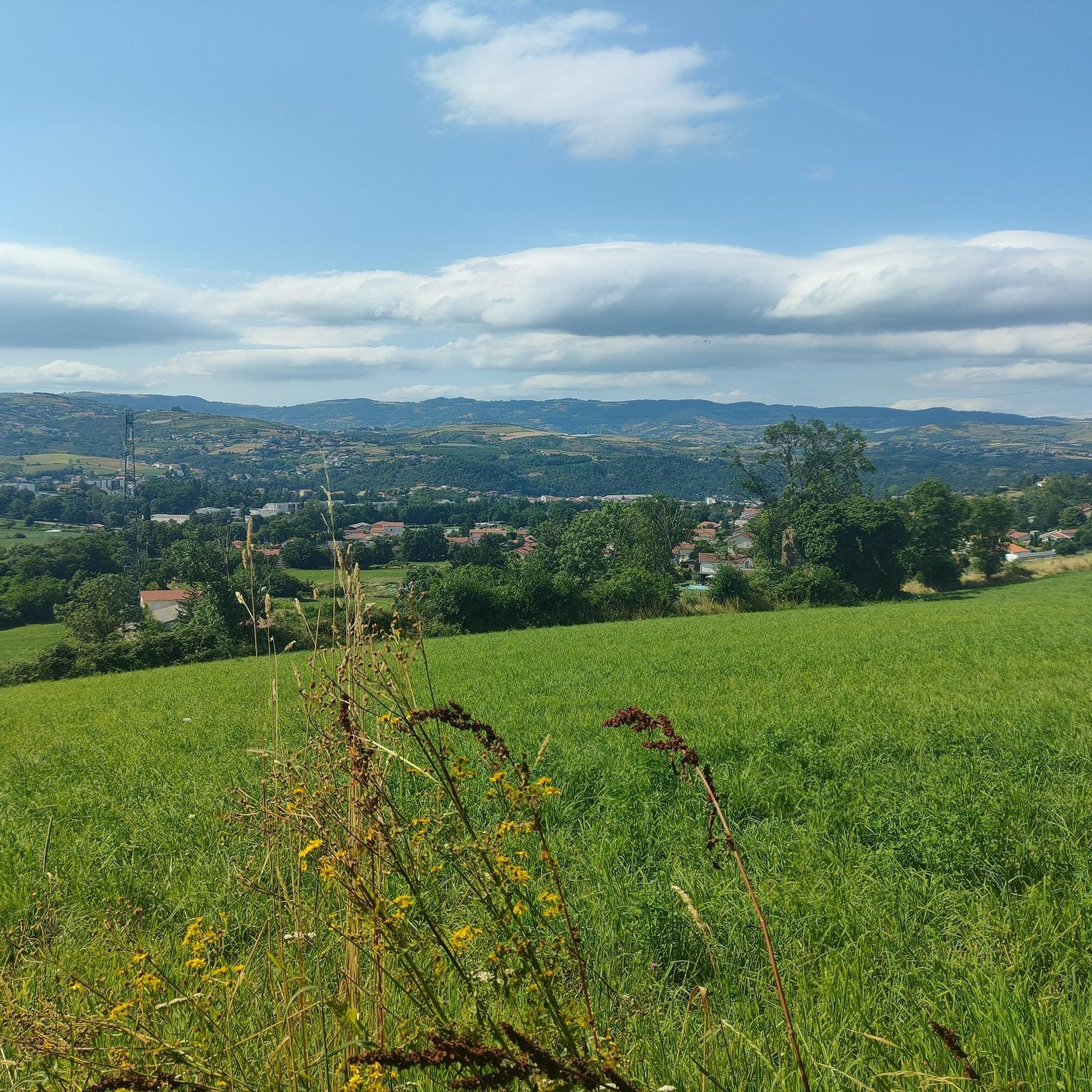
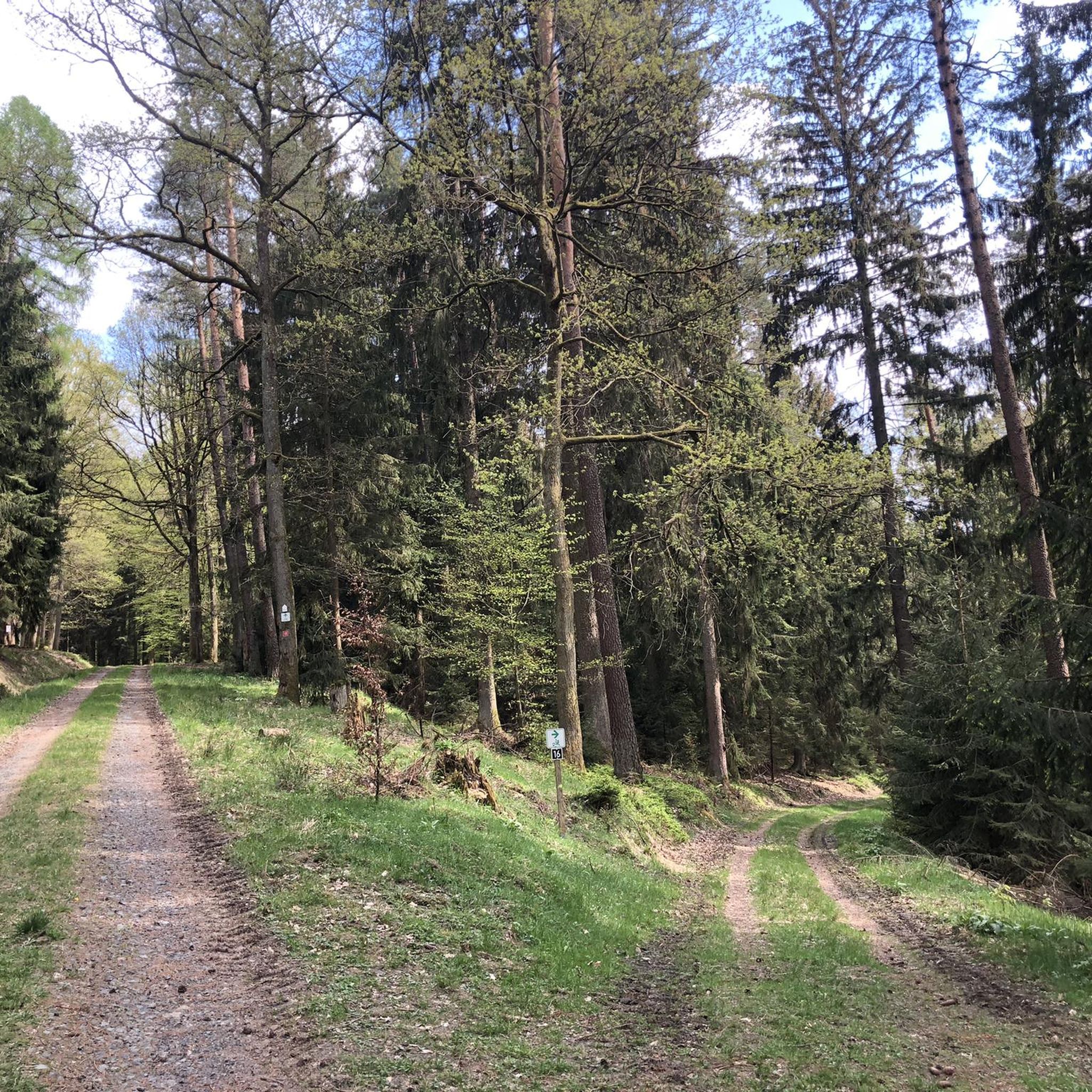
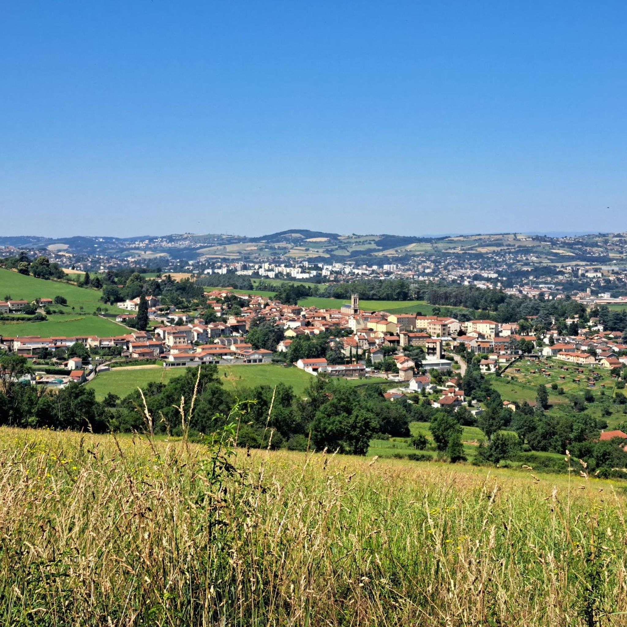
Hiking around La Grand-Croix offers access to the diverse landscapes of the Pilat Regional Natural Park, characterized by a blend of mountains, plateaus, forests, and rivers. The region features the Pilat Massif, with elevations ranging up to 1,432 meters, and notable peaks like Crêt de la Perdrix and Crêt de l'Oeillon. Hikers can explore varied terrain, including fir and beech forests, pastures, and hillsides with vineyards. The Gier and Dorlay rivers also contribute to the area's lush, green scenery.
Best hiking trails around La Grand-Croix
- The most popular hiking route is White cross – The White Cross of Céliheu loop from Cellieu, a 6.3 miles (10.1 km) trail that takes 2 hours 56 minutes to complete. This moderate route offers views within the Pilat Massif.
- Another top favourite among local hikers is Moulin Payre – La Terrasse-sur-Dorlay loop from Clos de Voron, a moderate 6.3 miles (10.2 km) path. This trail winds through lush green scenery near the Dorlay river.
- Local hikers also love the Wide track on the heights – Grange Merlin loop from Saint-Paul-en-Jarez, a 7.0 miles (11.3 km) trail leading through forested heights, often completed in about 3 hours 16 minutes.
- Hiking around La Grand-Croix is defined by the Pilat Massif, dense forests, and river valleys, offering a range of landscapes from high-altitude views to vineyard-covered hillsides. The network offers options for different ability levels, from gentle walks to more challenging ascents.
- The routes in La Grand-Croix are highly rated by the komoot community with an average score of 4.6 stars from over 800 reviews. More than 5,000 hikers have used komoot to explore La Grand-Croix's varied terrain.
Last updated: July 1, 2026
5.0
(1)
8
hikers
6.46km
01:44
70m
70m
Easy hike. Great for any fitness level. Easily-accessible paths. Suitable for all skill levels.
4.0
(3)
14
hikers
11.3km
03:18
300m
300m
Moderate hike. Good fitness required. Easily-accessible paths. Suitable for all skill levels.

Sign up for free
5.0
(2)
8
hikers
10.8km
03:29
420m
420m
Moderate hike. Good fitness required. Mostly accessible paths. Sure-footedness required.
5.0
(2)
5
hikers
9.05km
02:32
180m
180m
Moderate hike. Good fitness required. Easily-accessible paths. Suitable for all skill levels.
5.0
(1)
4
hikers
10.5km
03:07
300m
300m
Moderate hike. Good fitness required. Easily-accessible paths. Suitable for all skill levels.
Get access to more routes and recommendations from other explorers.
Sign up for free
Already have an account?
Our route recommendations are based on thousands of hikes, rides, and runs completed by other people on komoot.
Start today with a free account
Your next adventure awaits.
Login or Signup
Tips from the Community

very smooth track, allowing you to connect to other very nice tracks
0
0

Pleasant and friendly especially when the weather is nice
0
0
Super beautiful and pleasant in good weather
0
0

Beautiful hike without difficulty with beautiful viewpoints
0
0

Accessible from the pretty village of Valfleury
0
0

high point which dominates Valfleury behind and the valley of Saint Chamond in front
1
0

A nice, very rolling track with a view on all sides. Some tracks are noted as single track on the Komoot base map but are wide and very rolling. The satellite view is the best solution for choosing your route.
1
0
Frequently Asked Questions
What kind of landscapes can I expect to see while hiking around La Grand-Croix?
Hiking around La Grand-Croix offers a diverse range of landscapes, primarily within the Pilat Regional Natural Park. You'll encounter a blend of mountains, plateaus, dense forests (including fir and beech), lush river valleys like those of the Gier and Dorlay, and open meadows. The region is also known for its vineyard-covered hillsides, particularly around areas like Malleval.
Are there any easy hiking trails suitable for beginners or casual walkers?
Yes, La Grand-Croix and its surroundings offer numerous easy trails. Out of over 360 routes available, more than 80 are classified as easy, providing accessible options for beginners or those seeking a relaxed walk. These trails often wind through forests or along riverbanks, offering pleasant scenery without significant elevation changes.
What are some notable natural features or viewpoints I can reach on a hike?
The Pilat Massif features several impressive natural highlights. You can hike to the Crêts du Pilat for sweeping panoramic views that can extend to the Alps. The highest point, Crêt de la Perdrix (1,431 meters), offers vistas from Mont-Blanc to Diois. Another popular spot is Crêt de l'Oeillon, providing superb views of the Rhône Valley. For a unique experience, the 'Saut du Gier' path leads to a waterfall with an alpine-like atmosphere.
Are there any historical sites or villages I can visit while hiking?
Absolutely. The region is rich in history. The medieval village of Sainte-Croix-en-Jarez, classified among France's most beautiful villages, is an ancient Carthusian monastery nestled within the Pilat Regional Natural Park. Many hiking trails pass through or start from this historic site. Another charming medieval village known for its terraced vineyards is Malleval.
What do other hikers say about the trails in La Grand-Croix?
The hiking trails around La Grand-Croix are highly regarded by the komoot community, with an average rating of 4.6 stars from over 800 reviews. Hikers often praise the diverse scenery, from high-altitude views to tranquil forest paths and charming villages. The well-maintained network of trails is also frequently highlighted.
Are there any circular hiking routes available?
Yes, many of the trails around La Grand-Croix are circular, allowing you to start and end at the same point. For example, the Hiking loop from Farnay is a moderate 10.7 km route, and the White cross loop from Cellieu offers another scenic option.
Can I find trails that pass by water features like rivers or dams?
Yes, the Gier and Dorlay rivers traverse the area, contributing to its lush scenery. You can find trails that follow these rivers, such as the Moulin Payre – La Terrasse-sur-Dorlay loop from Clos de Voron, which winds through green landscapes near the Dorlay river. Hikes around the Couzon Dam also offer picturesque lakeside paths.
What is the best time of year to go hiking in La Grand-Croix?
The region around La Grand-Croix is enjoyable for hiking throughout much of the year due to its diverse climate influences. Spring and autumn offer pleasant temperatures and vibrant natural colors, while summer provides warm weather for exploring. Even winter can be beautiful, especially in the higher elevations of the Pilat Massif, though some trails may require appropriate gear for snow or ice.
Are there any trails suitable for families with children?
Yes, the region offers many family-friendly options, particularly among the easier trails. These routes often feature gentle gradients and interesting natural surroundings, making them suitable for children. Look for trails that explore the lower forest areas or follow riverbanks for a pleasant family outing.
Where can I find more information about the Pilat Regional Natural Park?
For more detailed information about the Pilat Regional Natural Park, including its natural heritage and activities, you can visit the official tourism website: pilat-tourisme.fr.
What are the typical distances and durations for hikes in this area?
Hiking routes around La Grand-Croix vary significantly in distance and duration. Many popular moderate trails, like the White cross – The White Cross of Céliheu loop from Cellieu, are around 10-11 km (6-7 miles) and take approximately 3 hours to complete. However, you can find shorter, easier walks or more challenging, longer ascents depending on your preference.
Most popular routes around La Grand-Croix
Most popular attractions around La Grand-Croix

Get inspired with the komoot mobile app


Explore more
Browse the best Hikes in other regions.
