The best walks and hikes around Saint-Priest-Des-Champs
4.6
(359)
1,870
hikers
75
hikes
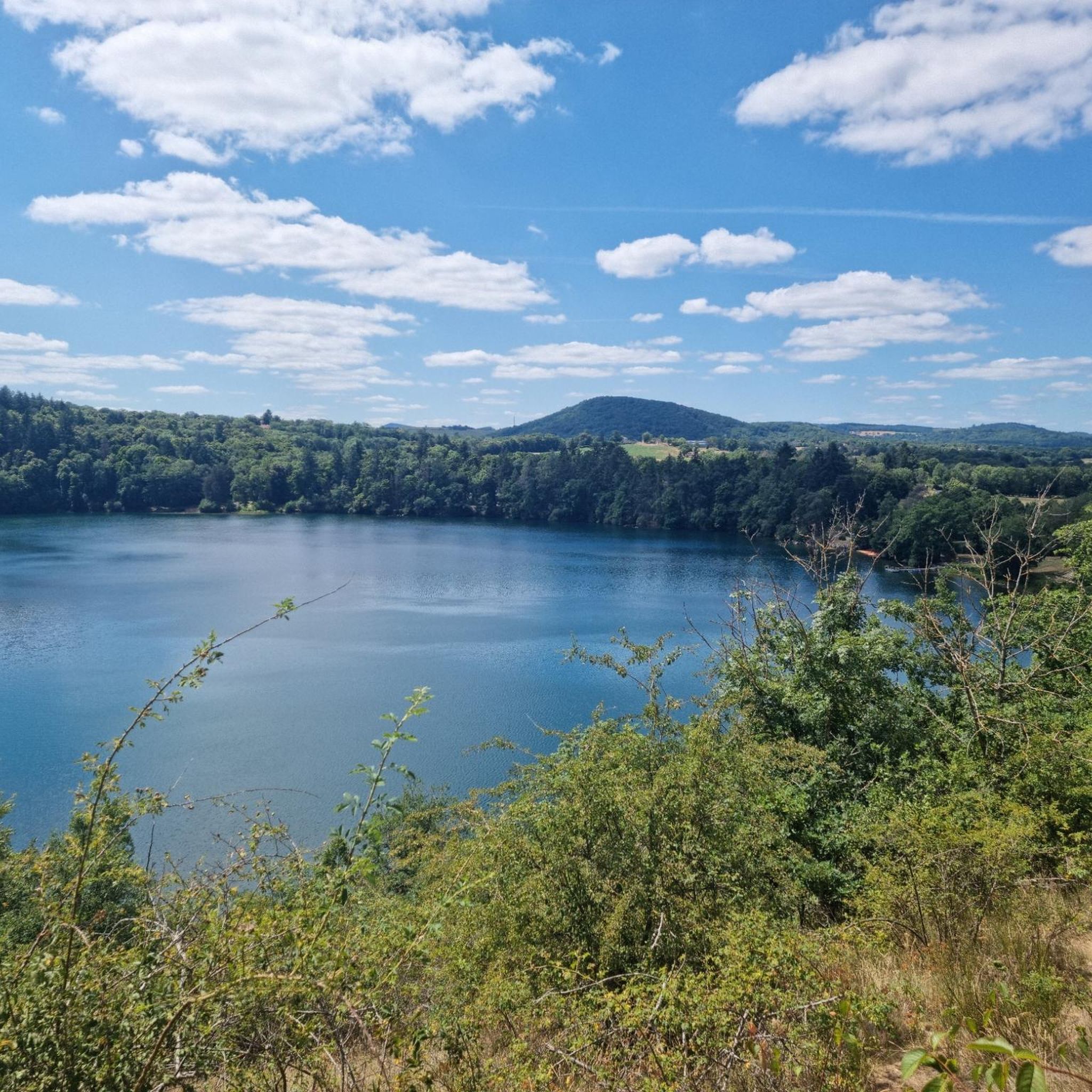
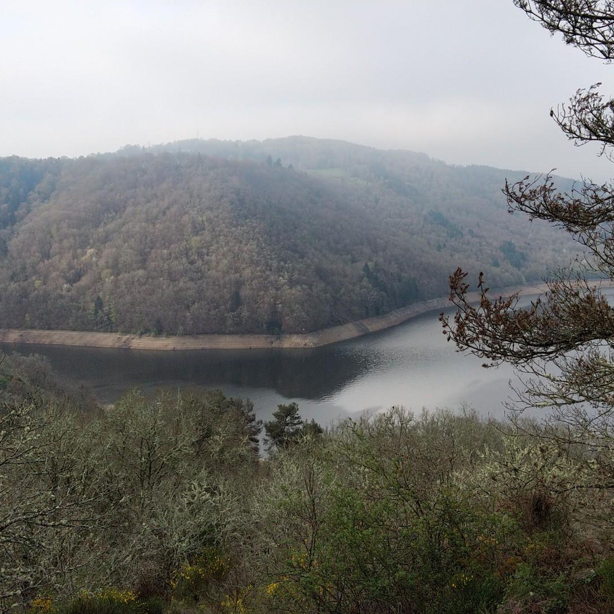
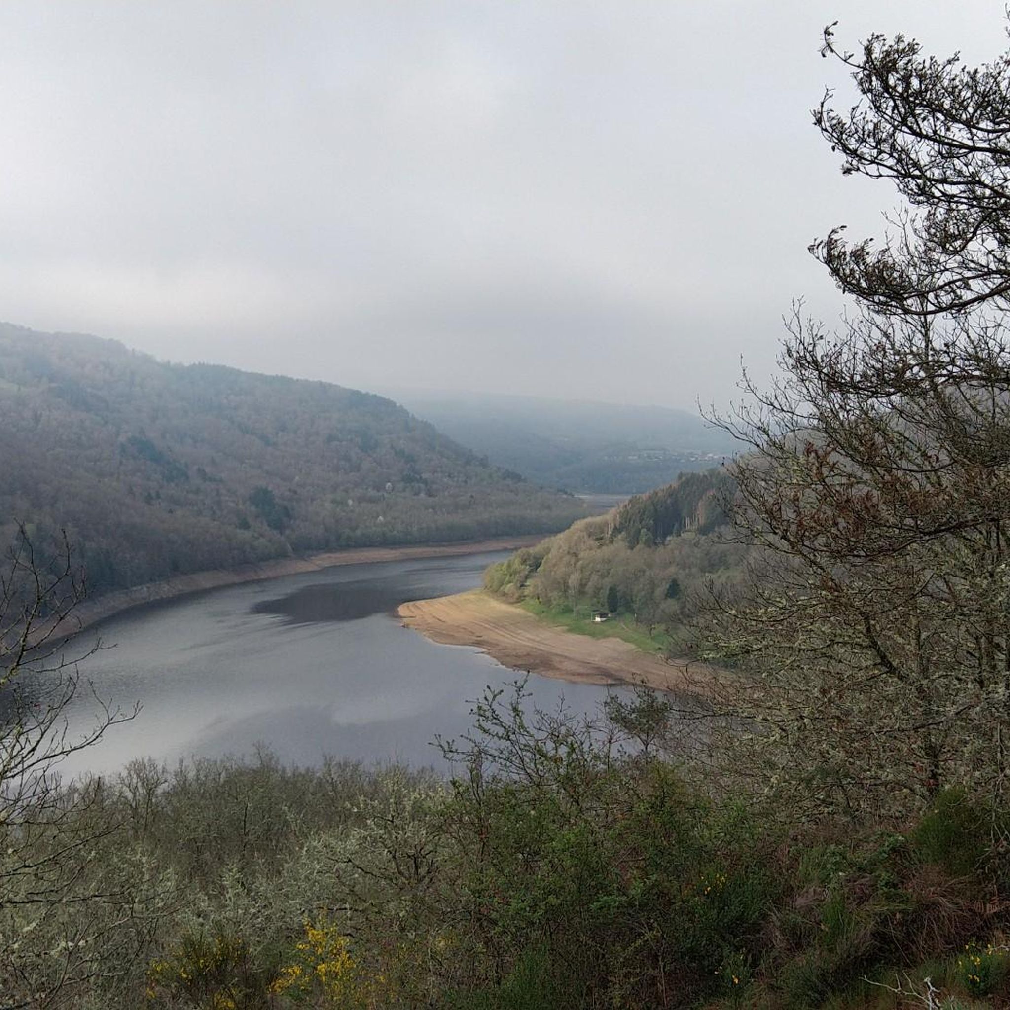
Hiking around Saint-Priest-Des-Champs offers exploration of the diverse Combrailles countryside, characterized by a vast granite plateau and prominent water features. The landscape includes wild gorges, hedged farmland, and extensive forest paths, with streams like the Auzelle and Chalamont carving through the terrain. The region also features the ecologically significant Sioule valley and offers views from various hills and volcanic peaks.
Best hiking trails around Saint-Priest-Des-Champs
- The most popular hiking route is Cascade de la Tine – Bridge crossing the river…
Last updated: May 12, 2026
4.5
(11)
91
hikers
Easy hike. Great for any fitness level. Easily-accessible paths. Suitable for all skill levels.
4.9
(11)
65
hikers
9.56km
02:51
290m
290m
Moderate hike. Good fitness required. Easily-accessible paths. Suitable for all skill levels.

Sign up for free
4.9
(9)
60
hikers
8.58km
02:35
280m
270m
Moderate hike. Good fitness required. Easily-accessible paths. Suitable for all skill levels.
3.4
(5)
19
hikers
4.83km
01:25
140m
140m
Easy hike. Great for any fitness level. Easily-accessible paths. Suitable for all skill levels.
4.8
(6)
13
hikers
Moderate hike. Good fitness required. Easily-accessible paths. Suitable for all skill levels.
Get access to more routes and recommendations from other explorers.
Sign up for free
Already have an account?
Our route recommendations are based on thousands of hikes, rides, and runs completed by other people on komoot.
Start today with a free account
Your next adventure awaits.
Login or Signup
Tips from the Community

Be careful, it's slippery, and certainly fragile over time.
0
0
At this time of year, what "calm"! And what beauty!
0
0

The waterfall was barely visible in August, only a small trickle of water.
0
0

Especially the first between beautiful walk; a bit steep. The last part you walk along a road that can be busy in the summer months. If you don't want that (I can imagine), you can go back at the cascade.
0
0

A small bridge to cross the river. A great place to take some pictures/portraits. Nothing more.
0
0
"A hike from the town of the commune allows you to reach the waterfall. The Auzelle stream flows into the Chalamont, forming a pretty 10m high waterfall in the woods. Magnificent site! (Combraille Auvergne Tourisme). A beautiful waterfall easily accessible from the road. The path is clean, as are the small wooden bridges. The proposed route is pleasant, in the heart of a small forest, while following the river.
0
0


Have dinner at La Guinguette in Biolet
0
0
Frequently Asked Questions
How many hiking trails are available in Saint-Priest-Des-Champs?
There are over 75 hiking routes in Saint-Priest-Des-Champs, offering a wide range of options for different skill levels. You'll find 25 easy routes, 42 moderate trails, and 9 more challenging options.
Are there any hikes that feature waterfalls in Saint-Priest-Des-Champs?
Yes, the region is known for its beautiful waterfalls. The most prominent is the Cascade de la Tine, a 10-meter-high waterfall. You can explore it on routes like the easy Cascade de la Tine – Bridge crossing the river loop from Saint-Priest-des-Champs, or the moderate Cascade de la Tine – The cascade loop from Jouhet. Other notable waterfalls in the area include the Cascade of the 3 Pools of Chambonnet and various Waterfalls on the Sioule River.
What kind of terrain can I expect on hikes around Saint-Priest-Des-Champs?
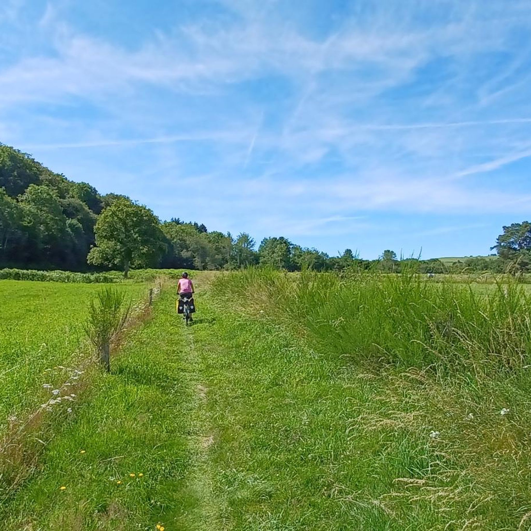
The terrain in Saint-Priest-Des-Champs is diverse, characterized by the Combrailles granite plateau. You'll encounter wild gorges, hedged farmland, and extensive forest paths. Water is a prominent feature, with streams like the Auzelle and Chalamont carving through the landscape. The Sioule valley, part of the Natura 2000 network, also offers varied natural environments.
Are there any family-friendly hiking options in Saint-Priest-Des-Champs?
Absolutely. Many of the 25 easy routes are suitable for families. The Cascade de la Tine – Bridge crossing the river loop from Saint-Priest-des-Champs is a popular easy option, taking about 1 hour 15 minutes to complete, and leads to the impressive Cascade de la Tine waterfall via well-maintained paths.
Are there any circular hiking routes available?
Yes, many routes in Saint-Priest-Des-Champs are designed as loops. For example, the popular Belvedere loop from Pont du Bouchet offers panoramic views over 9.6 km. Another option is the Bridge crossing the river – Cascade de la Tine loop from Saint-Priest-des-Champs, a moderate 11.1 km trail.
What are the best viewpoints in the Saint-Priest-Des-Champs area?
The region offers several magnificent viewpoints, often from volcanic peaks or elevated sections of the granite plateau. The Queuille Viewpoint is a notable spot for panoramic vistas. Routes like the Belvedere loop from Pont du Bouchet are specifically designed to showcase the stunning views of the Combrailles region.
What do other hikers enjoy most about hiking in Saint-Priest-Des-Champs?
The area is highly rated by the komoot community, with an average score of 4.6 stars from over 350 reviews. Reviewers often praise the diverse natural landscapes, the refreshing forested atmosphere, and the prominent water features like the Cascade de la Tine. The variety of trails, from easy walks to more challenging routes, is also frequently highlighted.
Are there any historical or cultural landmarks to explore while hiking?
Yes, beyond the natural beauty, you can discover historical elements. The Port-Sainte-Marie Charterhouse is a significant historical site in the vicinity. Some trails may also lead past or near other points of interest, such as the Buddhist temple at Biollet mentioned in regional research.
What is the best time of year to go hiking in Saint-Priest-Des-Champs?
The Combrailles region, including Saint-Priest-Des-Champs, offers a refreshing atmosphere, making it enjoyable for hiking throughout much of the year. Spring and autumn provide pleasant temperatures and vibrant scenery, while summer offers lush green landscapes. The presence of numerous forests also provides shade during warmer months.
Are there any challenging hikes for experienced trekkers?
Yes, for those seeking a greater challenge, there are 9 difficult routes in the area. These trails typically feature longer distances and greater elevation changes, providing a more strenuous experience while still offering the beautiful scenery of the Combrailles countryside.
Can I bring my dog on the hiking trails in Saint-Priest-Des-Champs?
The region's natural environment is generally welcoming for dogs. While specific leash rules can vary by trail or protected area, many paths through forests and countryside are suitable for walking with a dog. It's always recommended to keep your dog under control and check for any local signage regarding pet regulations.
Most popular routes around Saint-Priest-Des-Champs
Most popular attractions around Saint-Priest-Des-Champs

Get inspired with the komoot mobile app


Explore more
Browse the best Hikes in other regions.
