The best walks and hikes around Sainte-Foy-De-Peyrolières
4.2
(167)
776
hikers
47
hikes
Hiking around Sainte-Foy-De-Peyrolières offers varied landscapes at the gateway to the Gers region, approximately 30 kilometers southwest of Toulouse. The area is characterized by numerous lakes and extensive wooded areas, providing a pleasant setting for outdoor activities. Trails often wind through forests and alongside these natural water features, making for diverse scenery. The commune also features sections of the longer GR86 hiking route, catering to those seeking more extended excursions.
Best hiking trails around Sainte-Foy-De-Peyrolières
- The most popular hiking route…
Last updated: July 4, 2026
4.2
(6)
20
hikers
12.1km
03:15
150m
150m
Moderate hike. Good fitness required. Easily-accessible paths. Suitable for all skill levels.
4.5
(6)
13
hikers
3.46km
00:57
60m
60m
Easy hike. Great for any fitness level. Easily-accessible paths. Suitable for all skill levels.

Sign up for free
4.4
(5)
12
hikers
3.55km
00:59
60m
60m
Easy hike. Great for any fitness level. Easily-accessible paths. Suitable for all skill levels.
4.7
(3)
22
hikers
11.8km
03:11
150m
150m
Moderate hike. Good fitness required. Easily-accessible paths. Suitable for all skill levels.
5.0
(1)
6
hikers
23.3km
06:12
240m
240m
Hard hike. Very good fitness required. Easily-accessible paths. Suitable for all skill levels.
Get access to more routes and recommendations from other explorers.
Sign up for free
Already have an account?
Our route recommendations are based on thousands of hikes, rides, and runs completed by other people on komoot.
Start today with a free account
Your next adventure awaits.
Login or Signup

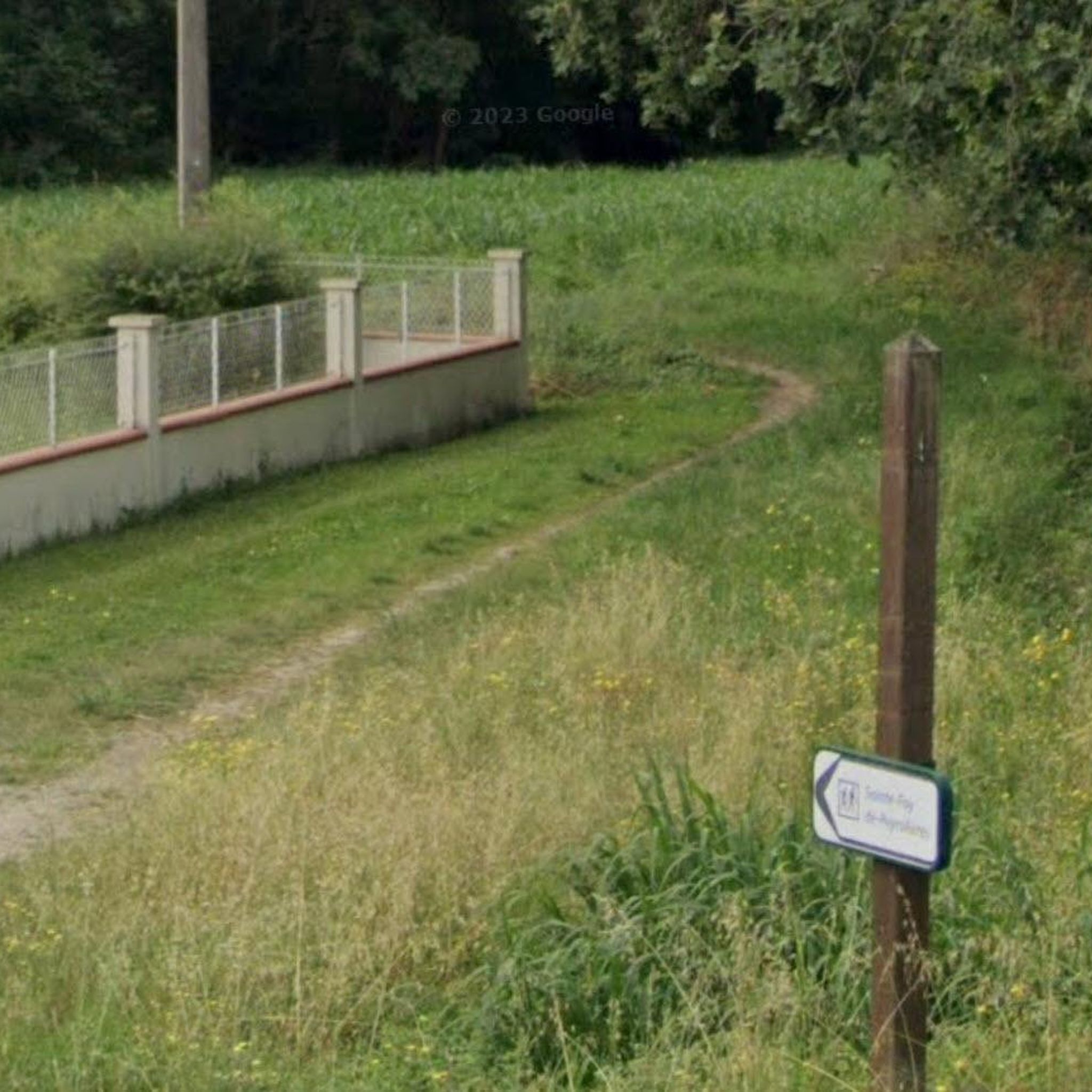
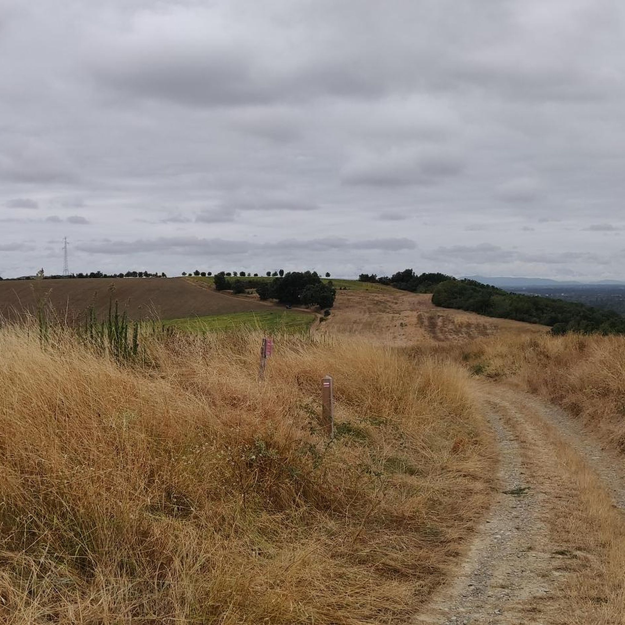
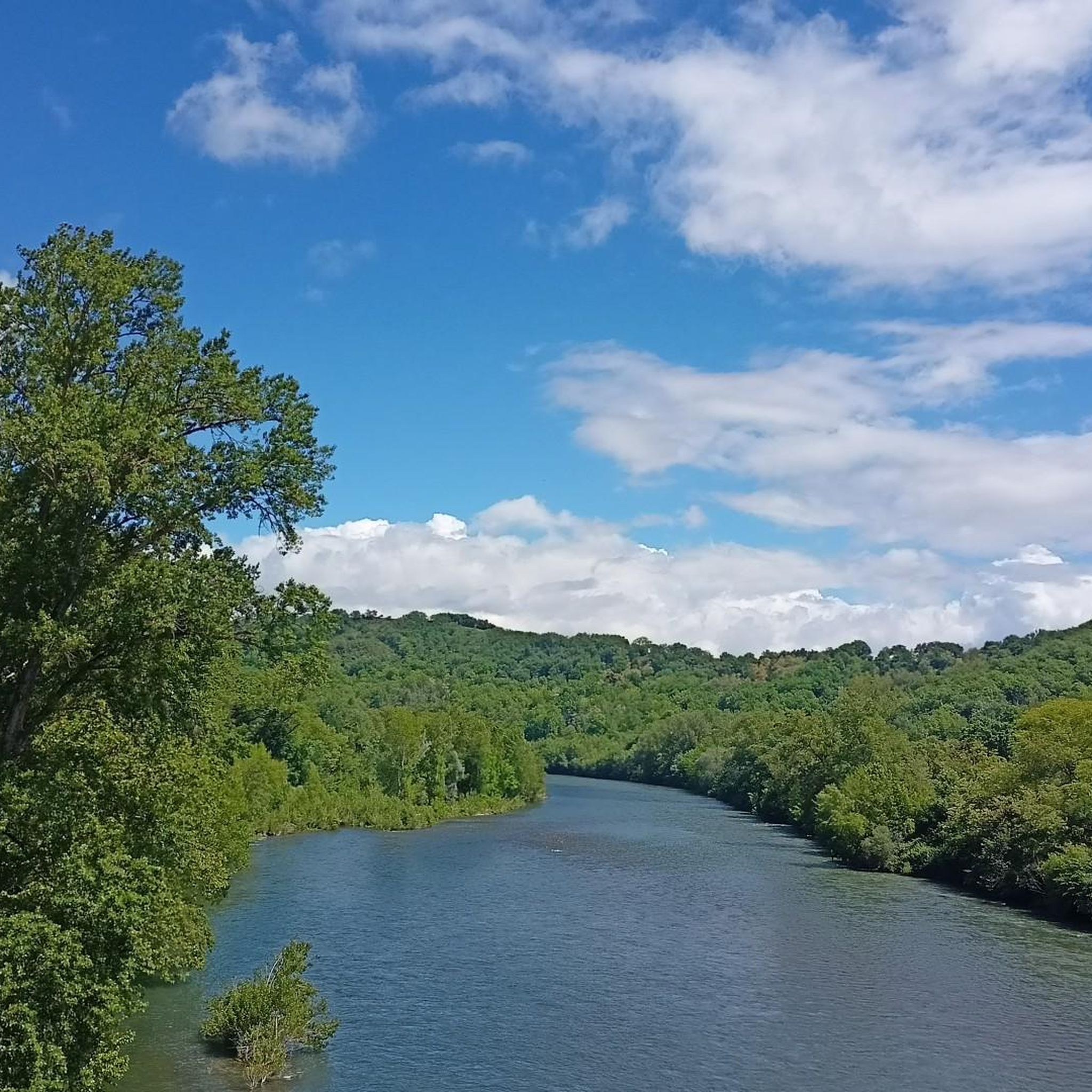

Tips from the Community

Pleasant hike, and the bridge over Mescurt is special as well as the meander that follows. Do not cross the Aussonnelle as indicated and go further at the foot of the reservoir.
1
1

Calm and quiet lake deep in the country side. Very appreciated bu the locals for a jog or walking the dog on a summer’s day. Wading birds and other wildlife gather in the shallower parts of the lake.
0
1
Frequently Asked Questions
How many hiking trails are available in Sainte-Foy-de-Peyrolières?
Sainte-Foy-de-Peyrolières offers a wide selection of outdoor adventures, with over 40 hiking trails to explore. These routes cater to various skill levels, from easy strolls to more challenging excursions.
What kind of terrain can I expect on the hiking trails around Sainte-Foy-de-Peyrolières?
The terrain around Sainte-Foy-de-Peyrolières is characterized by diverse landscapes, including extensive woodlands and numerous lakes. You'll find trails winding through forests, alongside water features like Lake Saint-Thomas, and across rural areas. Elevations generally range from 188 to 319 meters, offering gentle ascents and descents rather than steep climbs.
Are there any easy, family-friendly hiking options?
Yes, the region is well-suited for families. For an easy and pleasant walk, consider The bridge in the forest loop from Soulan de la Chutère, which is just over 3 km. Another great option is The bridge in the forest loop from Empeaux, offering similar easy terrain and duration. The area around Lac de Sainte Foy also features a very enjoyable 5 km loop, ideal for easy walks with children.
What are the best circular routes in the area?
Many of the trails in Sainte-Foy-de-Peyrolières are circular, allowing you to start and end at the same point. Popular choices include the moderate Lake Saint-Thomas loop from Sainte-Foy-de-Peyrolières, which covers about 12 km through woodlands and by the lake. Another excellent moderate circular route is Water Point loop from Sainte-Foy-de-Peyrolières, offering a mix of open and wooded sections over 11.8 km.
Are there any specific landmarks or natural features to look out for on the trails?
Absolutely. The region is rich in natural beauty, especially its lakes. You can explore trails around Lake Saint-Thomas and Grand Lake of Bidot. Additionally, some routes incorporate historical elements, such as remnants of the area's railway past, including an old station and parts of a bridge over the Galage stream. The Roman Road of Bois de Nérat also offers a glimpse into ancient history.
What is the best time of year to go hiking in Sainte-Foy-de-Peyrolières?
The diverse landscapes of Sainte-Foy-de-Peyrolières make it enjoyable for hiking across multiple seasons. Spring and autumn offer pleasant temperatures and vibrant scenery, with blooming flowers or colorful foliage. Summer is also popular, especially around the lakes, though it can be warmer. Winter hiking is possible, with the woodlands providing a serene atmosphere, but always check local conditions.
What do other hikers enjoy most about the trails here?
The komoot community highly rates the trails in Sainte-Foy-de-Peyrolières, with an average score of 4.3 stars from over 140 reviews. Hikers often praise the tranquil rural landscapes, the well-maintained paths around the lakes, and the varied scenery that combines open fields with shaded woodlands. The accessibility of routes for different fitness levels is also frequently highlighted.
Are there longer, more challenging hiking routes available?
For those seeking more extensive hikes, Sainte-Foy-de-Peyrolières is integrated into the Grande Randonnée (GR) 86 network. Sections like the GR86 - P4 – Sainte Foy/Rieumes (19.2 km) and GR86 - P3 – Fontenilles/Sainte Foy (19.9 km) offer longer, more challenging experiences, typically requiring around 5 hours to complete. These routes often border the lakes and traverse varied rural landscapes.
Is it possible to hike with dogs in Sainte-Foy-de-Peyrolières?
Many of the trails in Sainte-Foy-de-Peyrolières are suitable for hiking with dogs, allowing you to enjoy the natural surroundings with your canine companion. It's always recommended to keep dogs on a leash, especially in areas with livestock or near wildlife, and to respect local regulations. Please ensure you carry water for your dog and clean up after them.
Where can I find parking for the hiking trails?
Parking is generally available at the start points of many popular trails, particularly around the main lakes and villages. For instance, routes around Lac de Sainte Foy and Lac du Parayre typically have designated parking areas. It's advisable to check the specific route details on komoot for precise parking information for your chosen hike.
Are there any public transport options to reach the hiking areas?
Sainte-Foy-de-Peyrolières is located approximately 30 kilometers southwest of Toulouse. While direct public transport to every trailhead might be limited, local bus services connect Sainte-Foy-de-Peyrolières with nearby towns. For detailed information on routes and schedules, it's best to consult local transport providers or the Haute-Garonne tourism website: hautegaronnetourisme.com.
Are there any specific warnings or considerations for hikers in the woodlands?
When hiking in the wooded areas, such as the Bois de Saint Thomas, be aware of natural elements. Some trails, like the 9 km 'Lac et bois autour de Sainte Foy de Peyrolières,' have noted beehives in the woods, so hikers with allergies should be particularly cautious. Always stay on marked paths and be mindful of your surroundings.
Most popular routes around Sainte-Foy-De-Peyrolières
Most popular attractions around Sainte-Foy-De-Peyrolières

Get inspired with the komoot mobile app


Explore more
Browse the best Hikes in other regions.
