The best road cycling routes around Spicheren
4.3
(670)
14,627
riders
418
rides
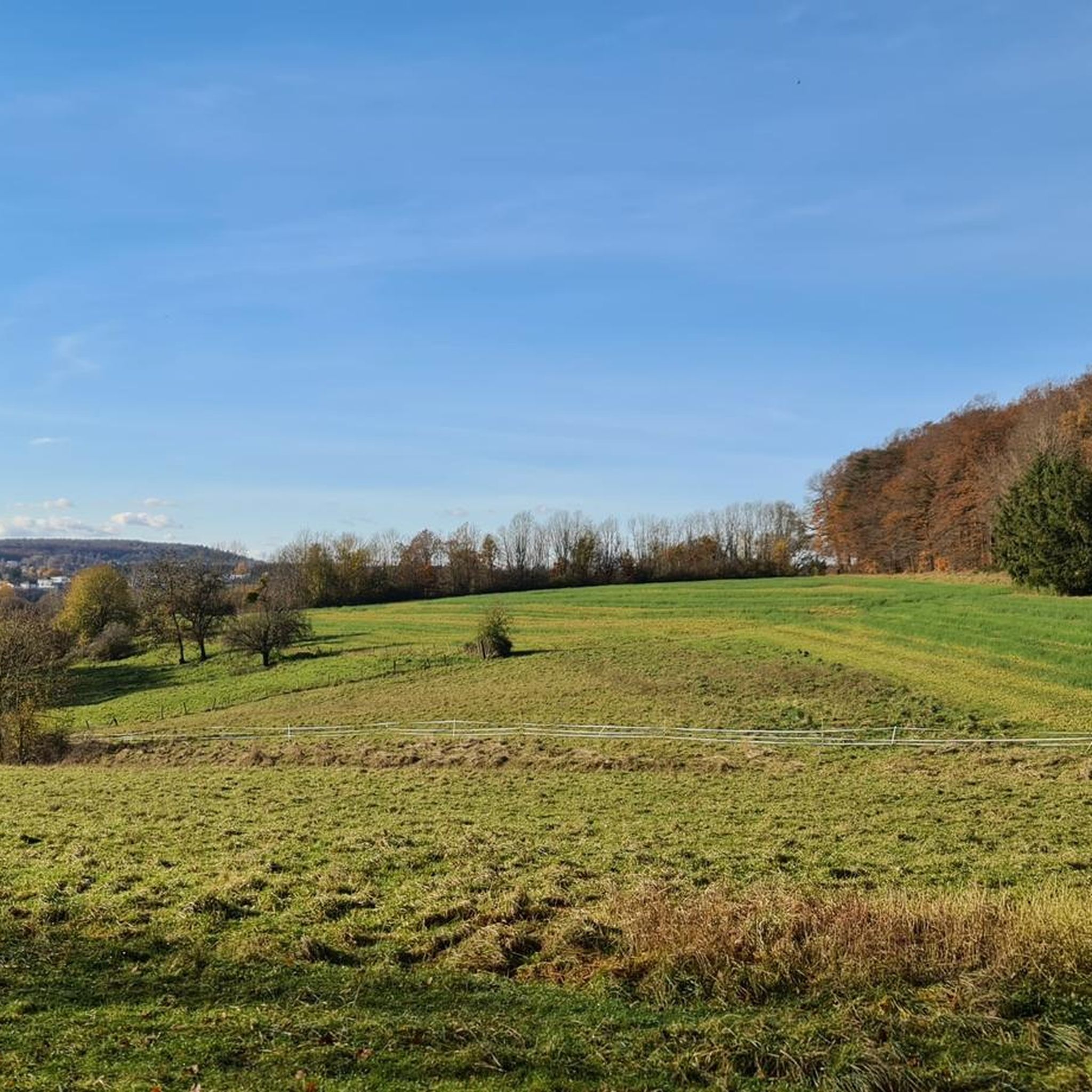
Road cycling routes around Spicheren traverse a landscape characterized by river valleys, such as the Saar, and rolling hills. The region features a mix of open agricultural land and forested sections, offering varied scenery for cyclists. Elevations are generally moderate, with some routes including longer climbs. The terrain provides options for different road cycling experiences, from flatter sections along rivers to more undulating paths through the countryside.
Best road cycling routes around Spicheren
- The most popular road cycling route is…
Last updated: May 17, 2026
4.8
(4)
606
riders
105km
04:52
1,100m
1,100m
Hard road ride. Very good fitness required. Some segments of this route may be unpaved and difficult to ride.
5.0
(4)
141
riders
Moderate road ride. Good fitness required. Mostly well-paved surfaces and easy to ride.

Sign up for free
4.6
(5)
97
riders
72.7km
03:28
440m
440m
Moderate road ride. Good fitness required. Mostly well-paved surfaces and easy to ride.
3.5
(2)
85
riders
38.8km
01:50
440m
440m
Moderate road ride. Good fitness required. Mostly well-paved surfaces and easy to ride.
4.7
(33)
508
riders
54.0km
02:20
390m
390m
Moderate road ride. Good fitness required. Mostly well-paved surfaces and easy to ride.
Get access to more routes and recommendations from other explorers.
Sign up for free
Already have an account?
Our route recommendations are based on thousands of hikes, rides, and runs completed by other people on komoot.
Start today with a free account
Your next adventure awaits.
Login or Signup
Tips from the Community


Very close by is the Hotel Fährhaus on the one-way street "Zur alten Fähre" (signposted from the bridge). It offers a very quiet and affordable stay with free parking and very friendly hosts. From there, the best way to reach Saarbrücken city center (approx. 6 km) is to cross this bridge and take the Saar Cycle Path on the left bank of the Saar River (car-free). On the right bank, the route is a bit longer and more circuitous, going around the marina.
0
0

It's always lovely to see the animals there.
0
0

Damage has now been repaired.
0
0

🌉 Parablies Bridge – A Quiet Border Crossing over the Blies River The Parablies Bridge connects Germany and France in a truly peaceful way – between Bliesmengen-Bolchen and the French town of Schweyen. Surrounded by meadows, fields, and pastures, you cross the Blies River on a simple yet atmospheric footbridge. No traffic, no noise – just the feeling of simply leaving borders in your mind behind. 🇩🇪🇫🇷 Tip: Ideal for hikers or cyclists who want to consciously cross the border – with one foot in France, the other in the Saarland countryside.
0
0

Ideal for cooling off on hot days. But unfortunately, it's not drinking water.
0
0

Cafe Cote Canal is always worth a visit.
0
0

cycle path
1
0
Frequently Asked Questions
What kind of terrain can I expect on road cycling routes around Spicheren?
Road cycling routes around Spicheren feature a diverse landscape, including river valleys like the Saar, rolling hills, open agricultural land, and forested sections. Elevations are generally moderate, but some routes include longer climbs, offering a mix of flatter sections and undulating paths.
How many road cycling routes are available in the Spicheren area?
There are over 430 road cycling routes available around Spicheren, catering to various skill levels. This includes approximately 70 easy routes, over 270 moderate routes, and around 80 difficult routes.
Are there any challenging road cycling routes for experienced cyclists near Spicheren?
Yes, experienced cyclists can find challenging routes with significant elevation gain. For example, the Saar Cycle Path (Leinpfad) – Niederwürzbacher Pond loop from Südbahnhof is a difficult 105 km route with over 1100 meters of elevation gain.
What do other cyclists say about road biking in Spicheren?
The road cycling routes around Spicheren are highly rated by the komoot community, with an average score of 4.4 stars from nearly 800 reviews. Cyclists often praise the varied terrain and scenic river paths.
Are there any family-friendly road cycling options around Spicheren?
While specific 'family-friendly' routes are not explicitly detailed, the region offers many moderate routes that follow river paths and pass through valleys, which can be suitable for families depending on their cycling experience. Routes like the Grumbach Valley – Saar Cycle Path (Leinpfad) loop from Südbahnhof offer a mix of flat and gently rolling sections.
Can I find circular road cycling routes in the Spicheren area?
Yes, many road cycling routes around Spicheren are designed as loops. Examples include the Étang de Welschhof – Along the Saar loop from Südbahnhof, which takes you through riverine landscapes, and the Sarreguemines – Saar Cycle Path loop from Südbahnhof.
What are some notable landmarks or points of interest I might see on a road cycling route near Spicheren?
Along your rides, you might encounter various points of interest. For example, the Étang de Welschhof – Along the Saar loop from Südbahnhof passes by the Étang de Welschhof. The wider region also features historical sites and natural caves, such as the Mithras Cave (Heathen Chapel) on the Halberg or the Former Beer Cellar at Grube Von der Heydt.
Are there any routes that include significant climbs?
Yes, some routes feature notable climbs. The Glan-Blies Cycle Path – Reinheimer Berg Climb loop from Südbahnhof, for instance, includes the Reinheimer Berg Climb, offering a good challenge with nearly 680 meters of elevation gain.
What kind of natural features define the cycling experience in Spicheren?
The road cycling experience in Spicheren is defined by its mix of natural features, including the scenic Saar river valleys, gently rolling hills, and interspersed forested areas. These elements provide varied backdrops and terrain for cyclists.
Are there any easy road cycling routes for beginners in Spicheren?
Yes, Spicheren offers approximately 70 easy road cycling routes suitable for beginners or those looking for a more relaxed ride. These routes typically feature flatter sections, often along river paths.
How long do road bike trails around Spicheren typically take to complete?
The duration of road bike trails around Spicheren varies greatly depending on the route's length and difficulty. For example, a moderate route like the Grumbach Valley – Saar Cycle Path (Leinpfad) loop from Südbahnhof (47 km) takes about 2 hours 30 minutes, while a difficult 105 km route could take nearly 5 hours.
Most popular attractions around Spicheren

Get inspired with the komoot mobile app


Explore more
Browse the best Road cycling routes in other regions.
