
The best running trails around Tetingen
4.4
(56)
2,052
runners
193
runs
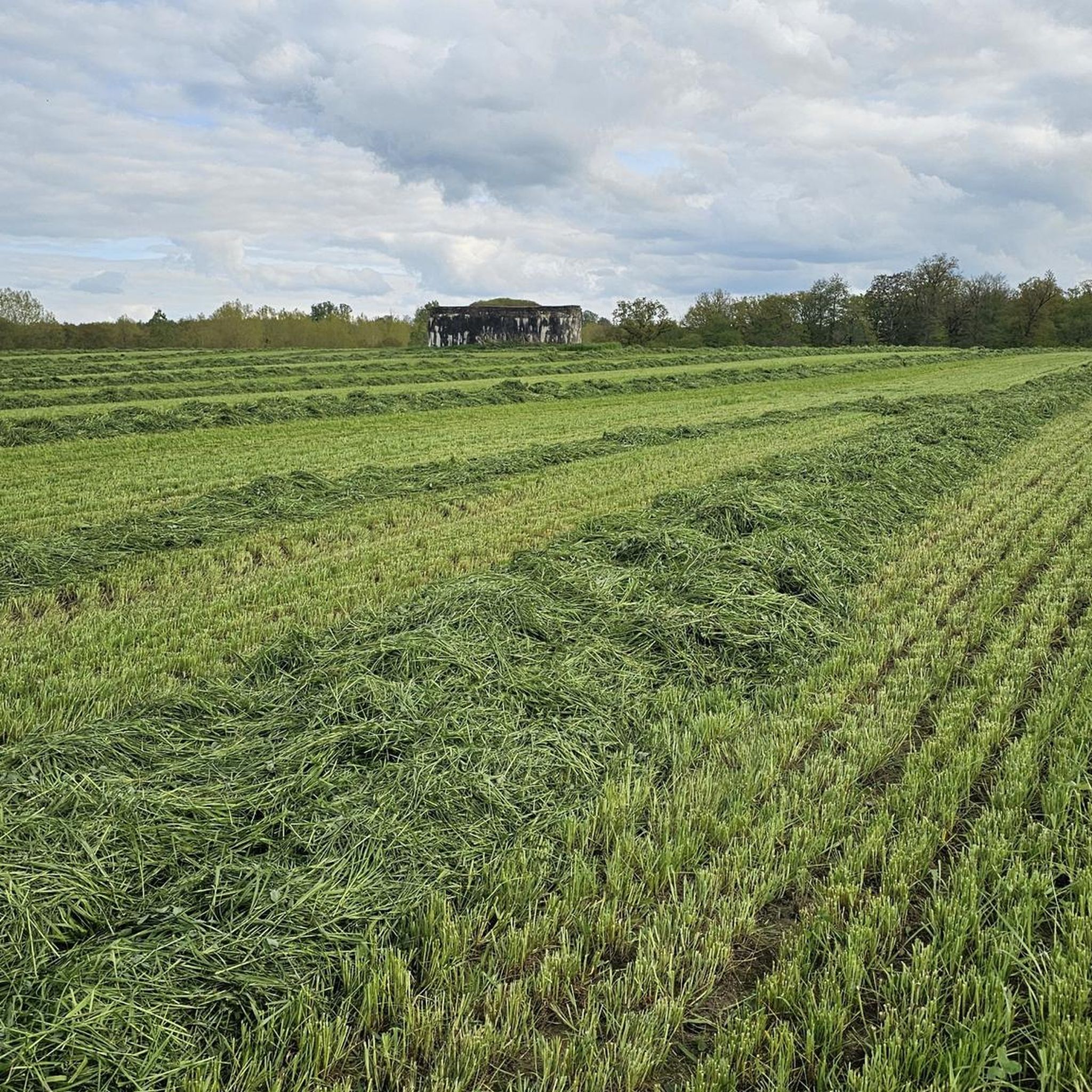
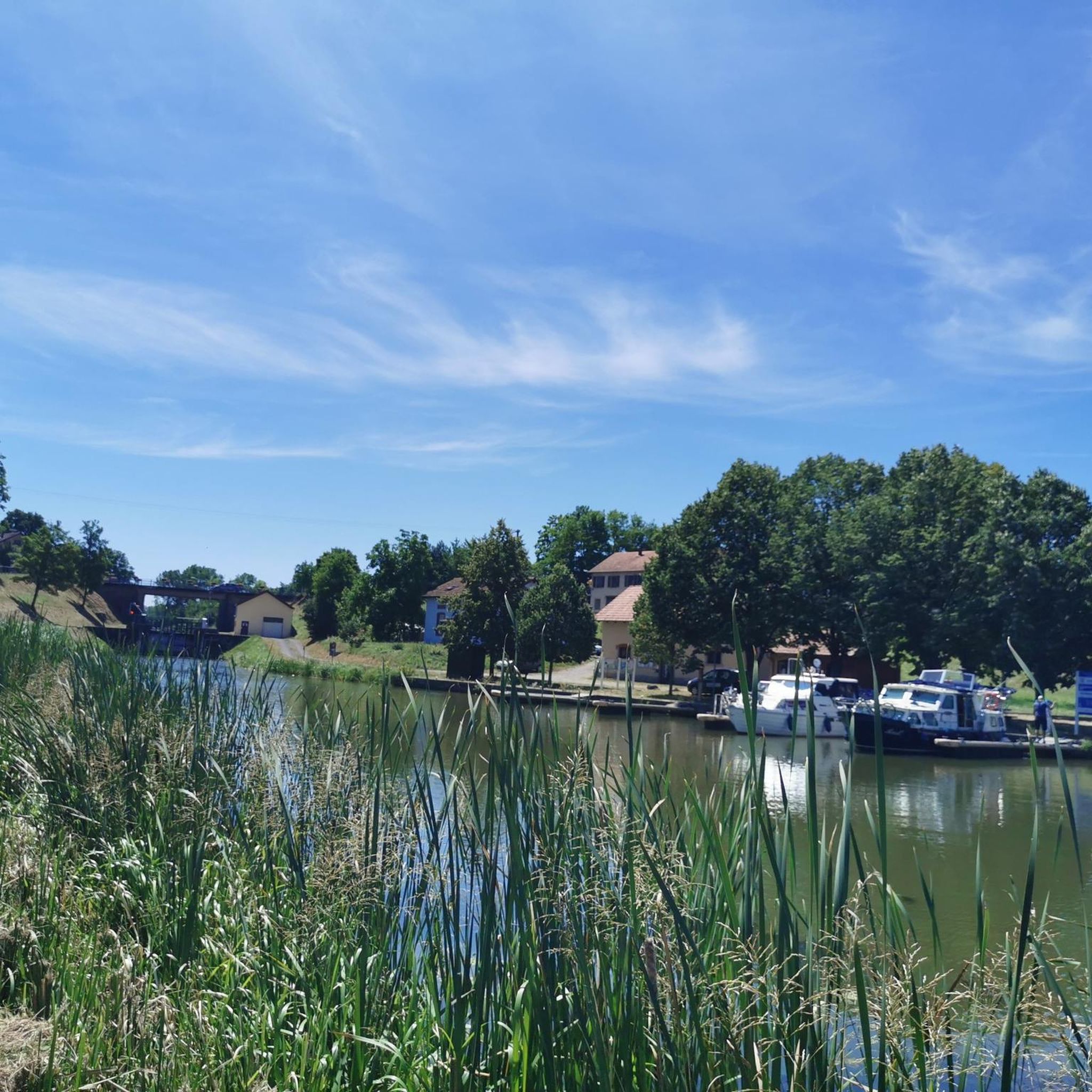
Jogging routes around Tetingen offer diverse terrain within the rural surroundings of southern Luxembourg. The area is characterized by extensive fields and dense forests, providing varied natural paths for runners. This landscape includes rolling hills, offering a mix of flat sections and undulating terrain suitable for different fitness levels. The natural setting provides a tranquil environment for outdoor activities.
Best jogging routes around Tetingen
- The most popular jogging route is Ouvrage de Téting loop from Folschviller, a 9.4 miles…
Last updated: July 5, 2026
28
runners
15.2km
01:39
210m
210m
Hard run. Very good fitness required. Mostly paved surfaces. Suitable for all skill levels.
27
runners
5.70km
00:36
60m
60m
Moderate run. Good fitness required. Mostly paved surfaces. Suitable for all skill levels.

Sign up for free
18
runners
15.3km
01:41
160m
160m
Hard run. Very good fitness required. Mostly paved surfaces. Suitable for all skill levels.
15
runners
6.30km
00:40
80m
80m
Moderate run. Good fitness required. Mostly paved surfaces. Suitable for all skill levels.
13
runners
6.14km
00:39
90m
90m
Moderate run. Good fitness required. Mostly paved surfaces. Suitable for all skill levels.
Get access to more routes and recommendations from other explorers.
Sign up for free
Already have an account?
Our route recommendations are based on thousands of hikes, rides, and runs completed by other people on komoot.
Start today with a free account
Your next adventure awaits.
Login or Signup
Frequently Asked Questions
How many running routes are available around Tetingen?
There are over 200 diverse running routes around Tetingen, catering to various fitness levels. These include 20 easy routes, 145 moderate routes, and 43 difficult routes, ensuring options for everyone from beginners to experienced runners.
What kind of terrain can I expect on the jogging trails in Tetingen?
Jogging around Tetingen offers a varied landscape, primarily characterized by extensive fields and dense forests. You'll encounter a mix of flat paths and rolling hills, providing diverse natural terrain suitable for different preferences and fitness levels.
Are there any family-friendly running routes in the Tetingen area?
Yes, Tetingen's natural surroundings, with its fields and forests, offer many pleasant and accessible paths suitable for families. While specific 'family-friendly' routes aren't explicitly categorized, the 20 easy routes available are generally well-suited for a leisurely run with children.
Can I bring my dog on the running trails around Tetingen?
Many of the natural paths through the fields and forests around Tetingen are suitable for running with dogs. It's always recommended to keep your dog on a leash, especially in areas with wildlife or near agricultural land, and to check local regulations for specific trails.
Are there any circular running routes in Tetingen?
Yes, many of the routes around Tetingen are designed as loops, offering convenient circular runs. For example, the Running loop from Pontpierre is a moderate 3.5-mile (5.7 km) option, and the Running loop from Folschviller covers 4.0 miles (6.4 km) through fields and forests.
What are some notable landmarks or points of interest I might see while running in Tetingen?
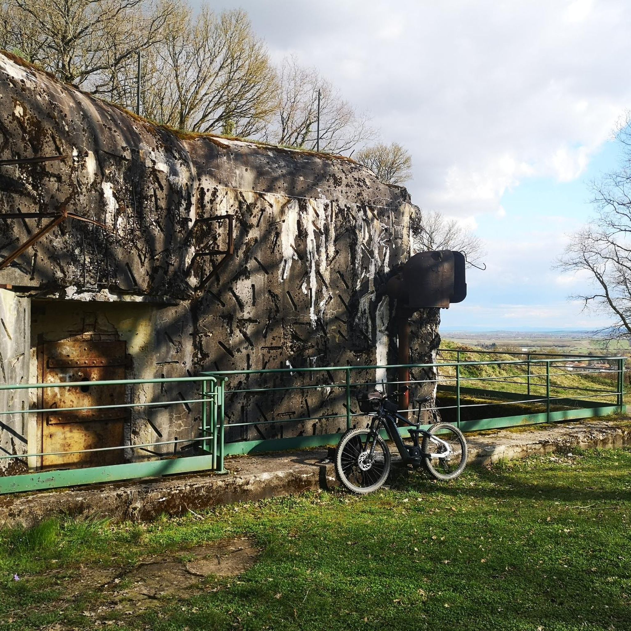
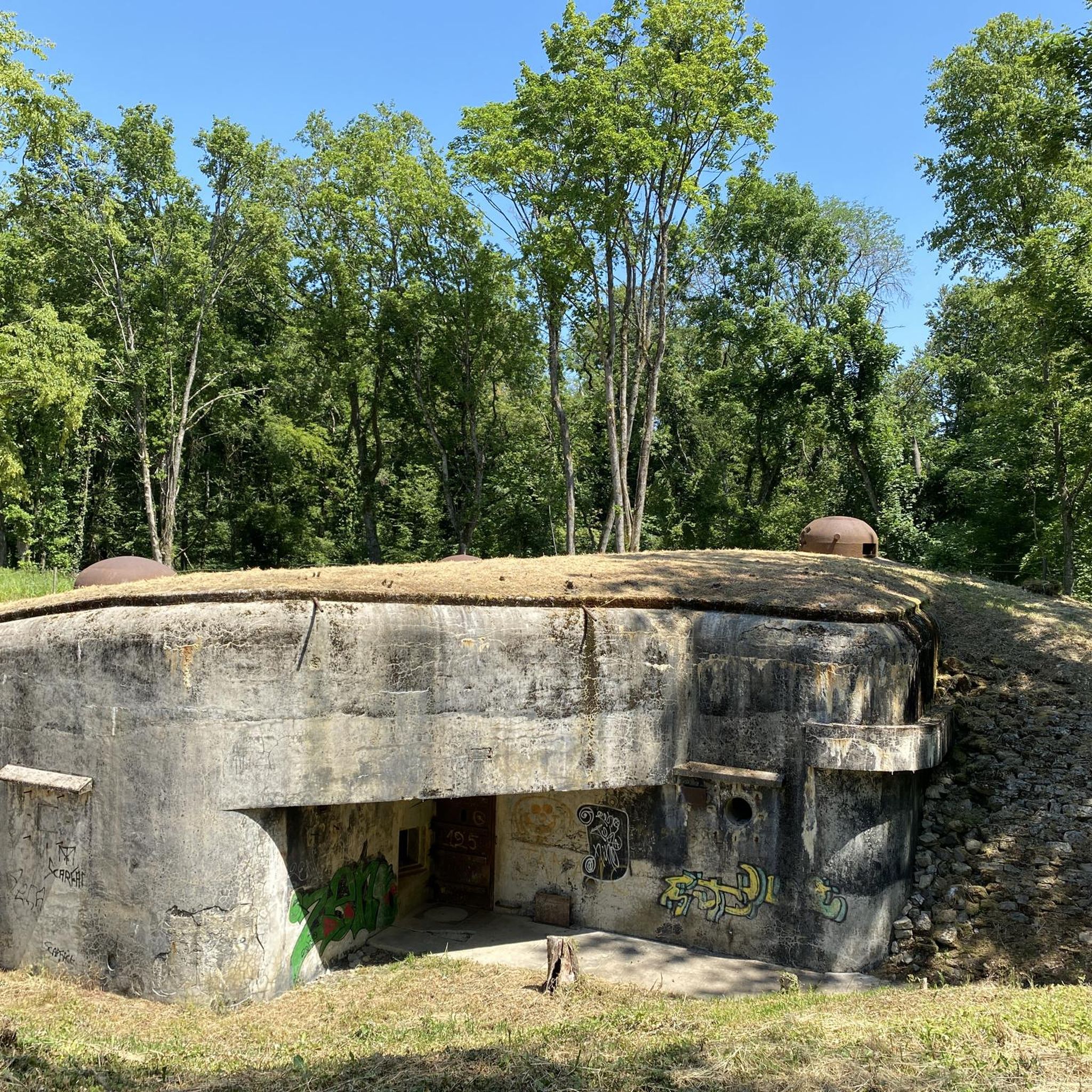
While running around Tetingen, you can explore historical and natural points of interest. The difficult Ouvrage de Téting loop from Folschviller passes by the historic Ouvrage de Téting. Other nearby attractions include the Croix de Porcelette and the Lorraine American Cemetery and Memorial.
What do other runners enjoy most about jogging in Tetingen?
The running routes in Tetingen are highly rated by the komoot community, with an average score of 4.5 stars from over 40 reviews. Runners often praise the tranquil environment, the fresh air, and the diverse natural paths through fields and forests that make for an enjoyable outdoor experience.
Are there options for long-distance running in Tetingen?
Absolutely. Tetingen offers several longer routes for endurance runners. The Ouvrage de Téting loop from Folschviller, for instance, is a challenging 9.4-mile (15.2 km) trail with varied elevation changes, perfect for a longer run.
What is the best time of year to go running in Tetingen?
Tetingen's rural landscape is enjoyable throughout the year. Spring and autumn offer pleasant temperatures and beautiful scenery with changing foliage. Summer is great for early morning or late evening runs, while winter can provide unique, crisp running conditions, especially through the forests.
Are there any running routes that start from Teting-sur-Nied?
Yes, there are routes that originate directly from the Teting-sur-Nied area. For example, the Running loop from Teting-sur-Nied is a moderate 7.1 km (4.4 miles) trail, offering a convenient starting point for local runners.
How accessible are the running routes by public transport or car parking?
While specific public transport details for each trailhead aren't provided, Tetingen is part of Luxembourg's well-connected region. Many routes, like those starting from Folschviller or Pontpierre, are typically accessible by car with parking available in or near these villages, allowing easy access to the trails.
Most popular attractions around Tetingen

Get inspired with the komoot mobile app


Explore more
Browse the best Running Trails & Routes in other regions.
