The best road cycling routes around Vahlen
4.1
(28)
982
riders
132
rides
Road cycling routes around Vahlen traverse a landscape characterized by rolling terrain and a mix of natural and cultural points of interest. The region features routes that pass by ponds and rivers, with elevation gains indicating a varied profile suitable for road cycling. This area offers a network of paths that connect local landmarks and natural features.
Best road cycling routes around Vahlen
- The most popular road cycling route is Bischwald Pond – War Memorial and Clock Tower loop from…
Last updated: May 13, 2026
3.0
(2)
31
riders
43.8km
01:54
360m
360m
Moderate road ride. Good fitness required. Mostly well-paved surfaces and easy to ride.
5.0
(2)
11
riders
Moderate road ride. Good fitness required. Mostly well-paved surfaces and easy to ride.

Sign up for free
10
riders
35.3km
01:34
300m
300m
Moderate road ride. Good fitness required. Mostly well-paved surfaces and easy to ride.
8
riders
Moderate road ride. Good fitness required. Some segments of this route may be unpaved and difficult to ride.
9
riders
73.7km
03:09
550m
550m
Moderate road ride. Good fitness required. Mostly well-paved surfaces and easy to ride.
Get access to more routes and recommendations from other explorers.
Sign up for free
Already have an account?
Our route recommendations are based on thousands of hikes, rides, and runs completed by other people on komoot.
Start today with a free account
Your next adventure awaits.
Login or Signup


Tips from the Community

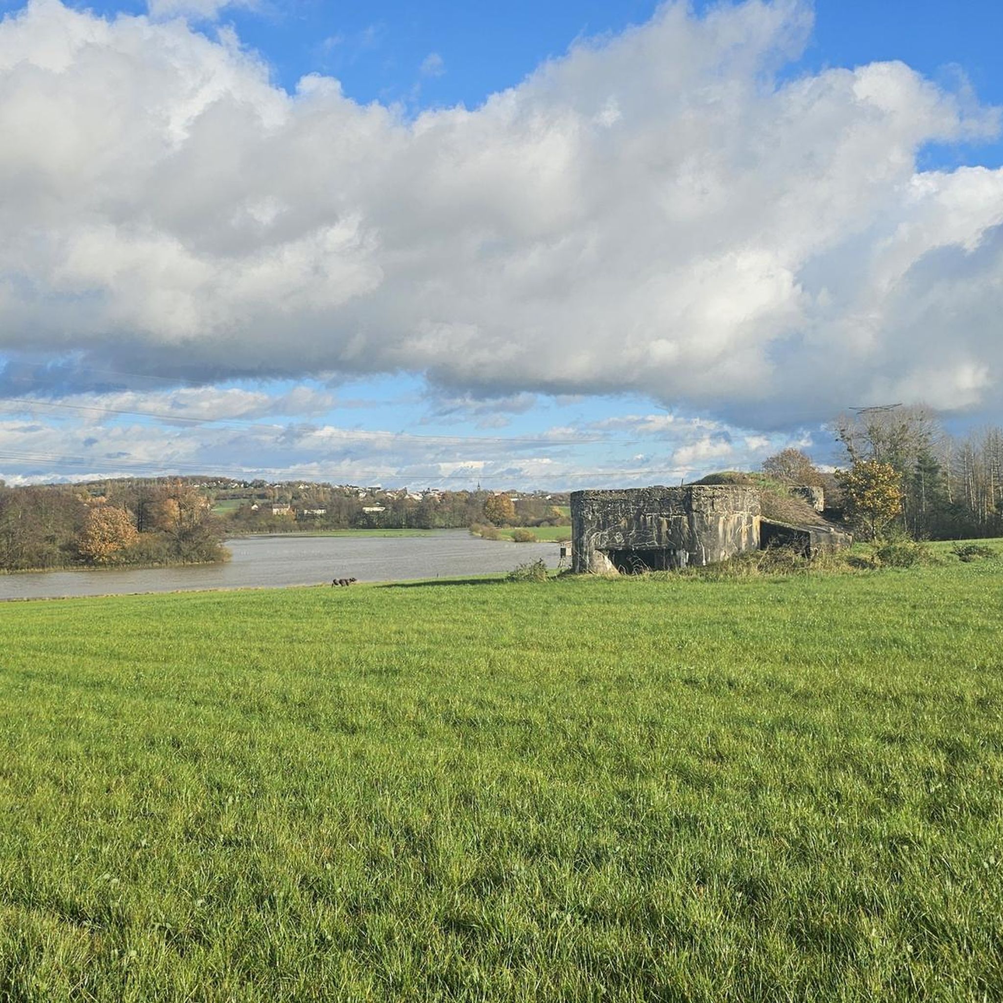
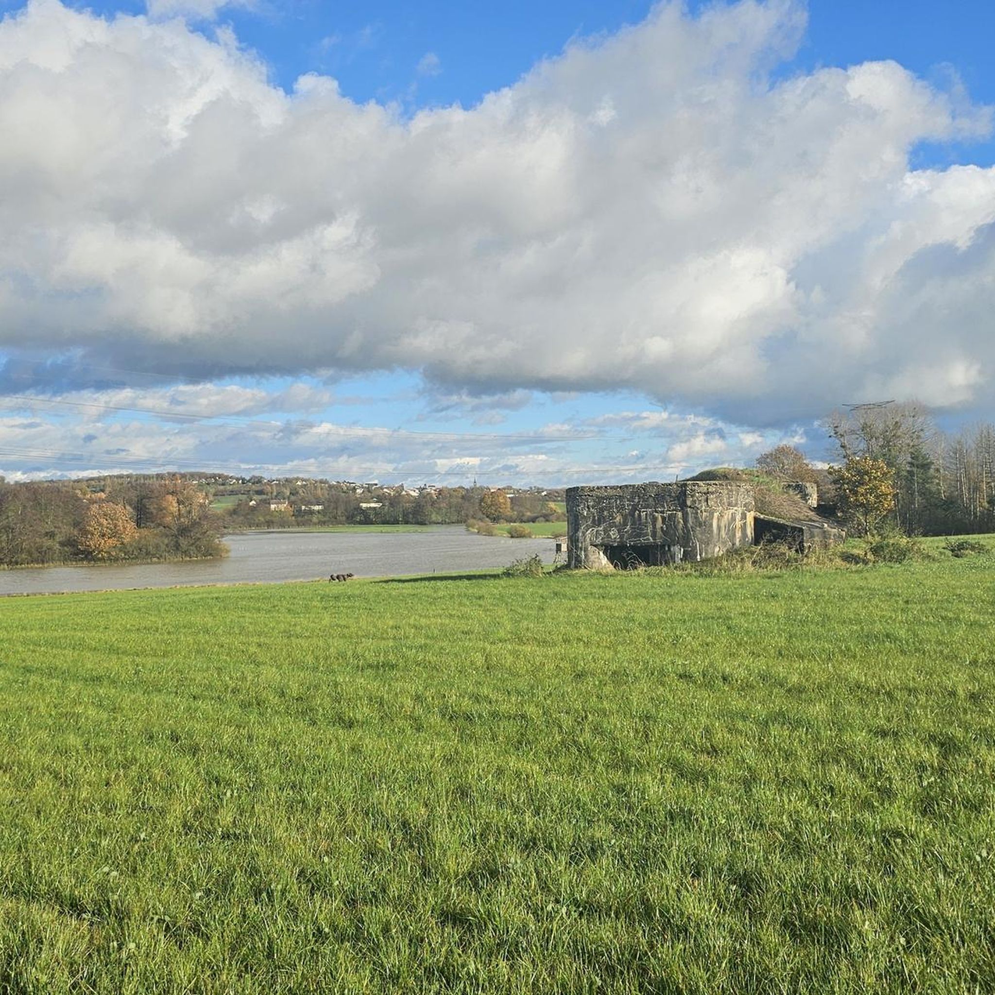
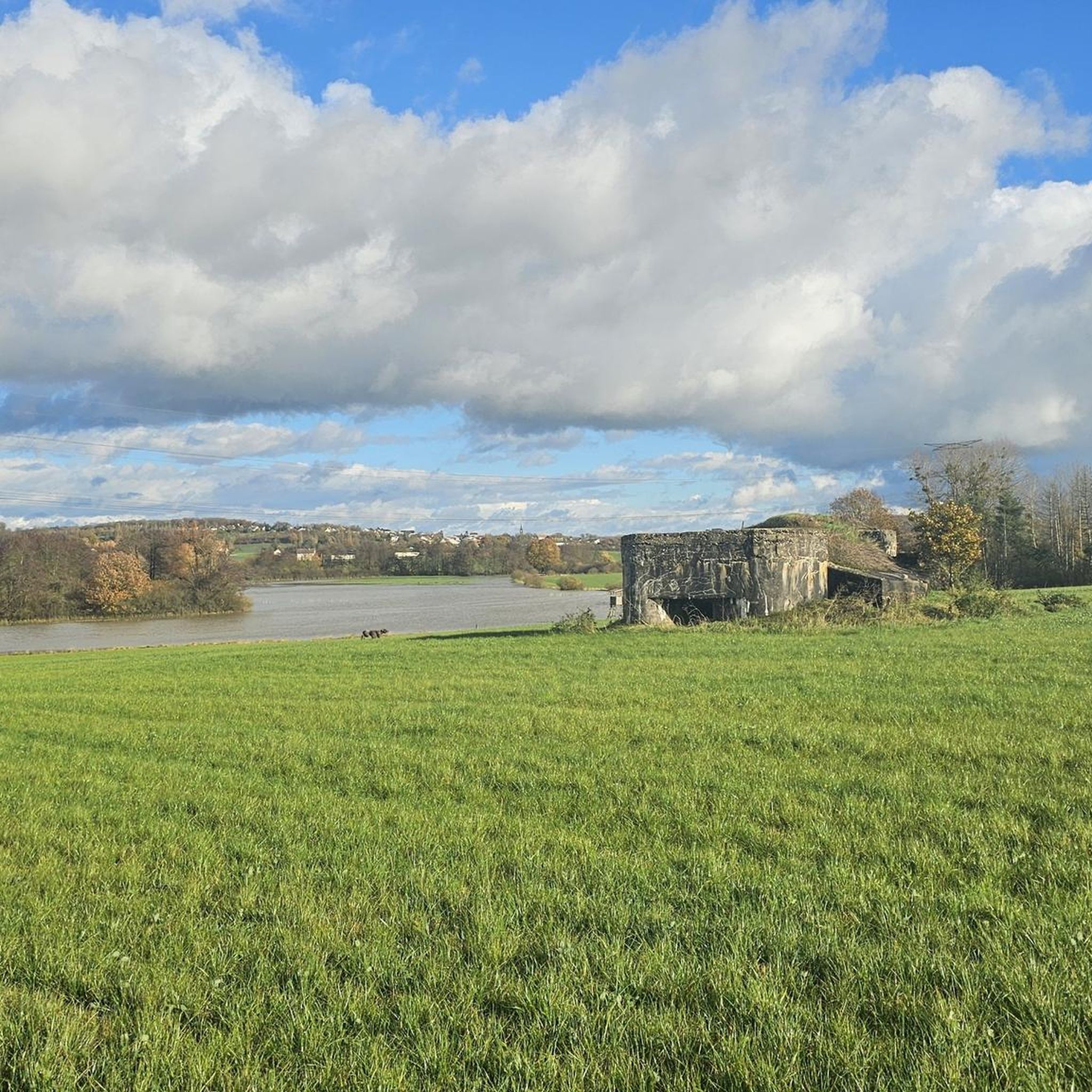
One of the large ponds in the area, here with a beautiful view 🇫🇷🛥️
0
0

Memorial to the fallen of the two world wars 🕊️
0
0
A subtle hint about the distance if you are planning a longer bike tour 😉
0
0
Memorial to the fallen of the two world wars 🕊️
0
0
Memorial to the fallen of the two world wars 🕊️
0
0

The Rue de l'Étang divides the pond into two parts. In the northern part there are many small fishing shacks. You can take a nice walk around the southern part.
1
0

Very nicely situated pond
1
0

Lake with many small fishermen's huts, the circular route is about 4km.
3
0
Frequently Asked Questions
How many road cycling routes are available around Vahlen?
There are over 130 road cycling routes available around Vahlen, offering a wide range of options for different skill levels.
What kind of terrain can I expect on road cycling routes in Vahlen?
The Vahlen region is characterized by rolling terrain, with routes passing by ponds and rivers. You'll encounter varied elevation gains, making it suitable for diverse road cycling experiences.
Are there easy road cycling routes suitable for beginners in Vahlen?
Yes, Vahlen offers several easy road cycling routes. For instance, the 🙏 loop from Faulquemont is an easy 17.4-mile (28.1 km) path with an elevation gain of over 250 meters, providing a gentle challenge for those new to road cycling.
What are some challenging road cycling routes in the Vahlen area?
While most routes are moderate, some offer more significant challenges. The region features routes with varied terrain and elevation changes, such as the Farschviller Church – Étang de Welschhof loop from Faulquemont, which is a longer moderate route at 45.8 miles (73.7 km) with over 550 meters of elevation gain.
Are there circular road cycling routes around Vahlen?
Many of the road cycling routes in Vahlen are designed as loops, allowing you to start and end at the same point. Examples include the popular Bischwald Pond – War Memorial and Clock Tower loop from Faulquemont and the View of the river flood – War Memorial and Clock Tower loop from Faulquemont.
What are the typical distances and durations for road cycling routes in Vahlen?
Routes vary significantly. You can find shorter paths like the 🙏 loop from Faulquemont at 17.4 miles (28.1 km) taking under 2 hours, up to longer rides such as the Farschviller Church – Étang de Welschhof loop from Faulquemont, which is 45.8 miles (73.7 km) and typically takes around 3 hours 9 minutes.
What kind of scenic views or landmarks can I expect along the road cycling routes?
Road cycling routes in Vahlen often pass by natural features like ponds and rivers. You can also encounter cultural landmarks. Notable attractions in the wider area include the historic Saint-Nabor Abbey Church of Saint-Avold and various sites related to the Maginot Line, such as Ouvrage de l'Einseling.
Are there places to stop for refreshments or food along the routes?
While specific cafes aren't detailed for every route, many routes start from or pass through towns like Faulquemont and Pontpierre, where you can typically find options for refreshments and food.
What do other road cyclists enjoy most about road cycling in Vahlen?
The area is highly rated by the komoot community, with an average score of 4.2 stars from over 37 reviews. Cyclists often praise the varied terrain, the mix of natural and cultural points of interest, and the well-connected network of paths.
Where can I find parking for road cycling routes in Vahlen?
Many routes, such as those starting from Faulquemont or Pontpierre, typically offer parking options within these towns or at designated starting points. It's advisable to check local parking availability for your chosen starting location.
Can I access road cycling trails in Vahlen using public transport?
Specific public transport access points for each trail are not detailed in the route descriptions. However, as many routes begin in or near towns, it's possible that local public transport services could provide access to starting points. We recommend checking regional public transport schedules for connections to towns like Faulquemont or Pontpierre.
Most popular attractions around Vahlen

Get inspired with the komoot mobile app


Explore more
Browse the best Road cycling routes in other regions.
