The best walks and hikes around Zimmingen
4.5
(472)
2,177
hikers
285
hikes
Hiking around Zimmingen offers a network of trails through varied terrain. The region is characterized by dense woodlands, rolling hills, and historical sites, providing diverse landscapes for outdoor exploration. Hikers can expect paths that traverse forested areas and open countryside, with moderate elevation changes. The area's geology supports a mix of natural and historical points of interest along its routes.
Best hiking trails around Zimmingen
- The most popular hiking route is View of Sources aux Lièvres – Maginot Line loop…
Last updated: July 5, 2026
4.7
(6)
50
hikers
15.5km
04:16
260m
260m
Moderate hike. Good fitness required. Easily-accessible paths. Suitable for all skill levels.
5.0
(4)
25
hikers
15.4km
04:11
220m
220m
Moderate hike. Good fitness required. Easily-accessible paths. Suitable for all skill levels.

Sign up for free
4.9
(9)
31
hikers
13.7km
03:41
160m
160m
Moderate hike. Good fitness required. Mostly accessible paths. Sure-footedness required.
4.7
(3)
17
hikers
12.1km
03:21
210m
210m
Moderate hike. Good fitness required. Easily-accessible paths. Suitable for all skill levels.
5.0
(1)
7
hikers
9.30km
02:33
130m
130m
Moderate hike. Good fitness required. Mostly accessible paths. Sure-footedness required.
Get access to more routes and recommendations from other explorers.
Sign up for free
Already have an account?
Our route recommendations are based on thousands of hikes, rides, and runs completed by other people on komoot.
Start today with a free account
Your next adventure awaits.
Login or Signup
Tips from the Community

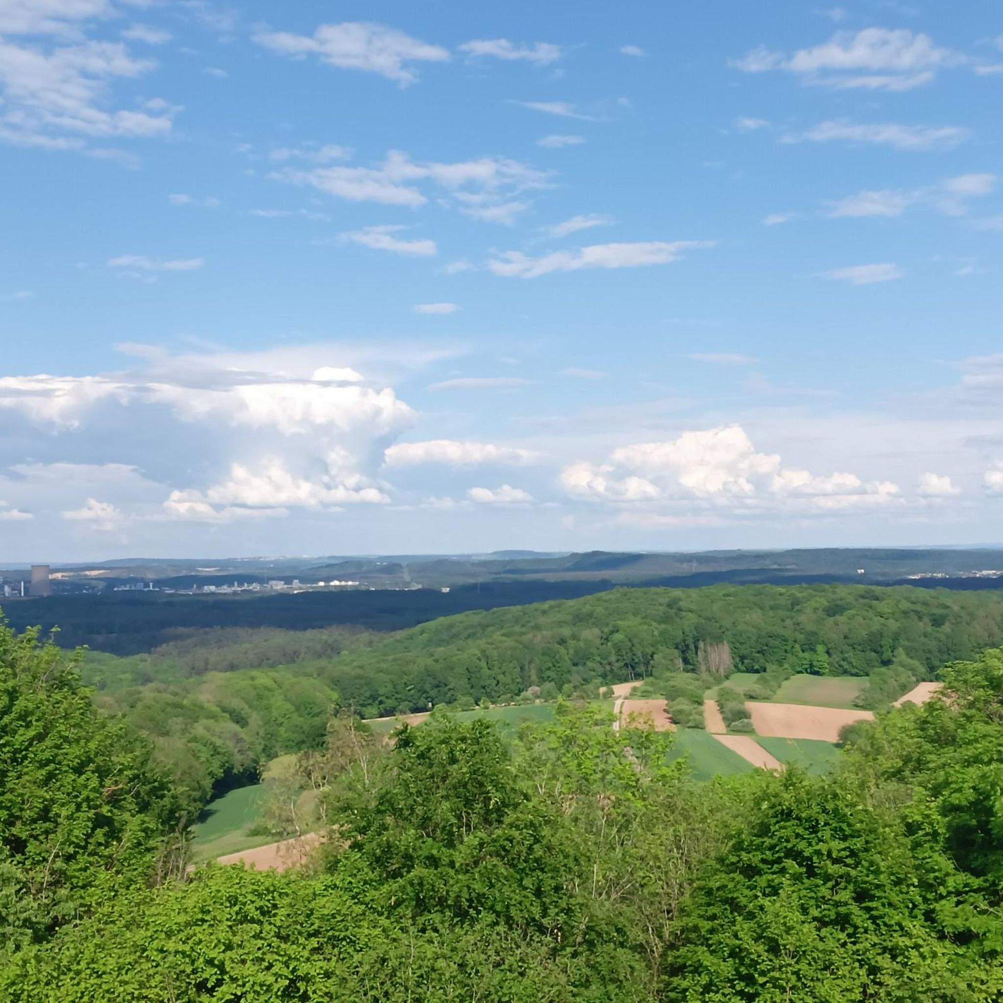
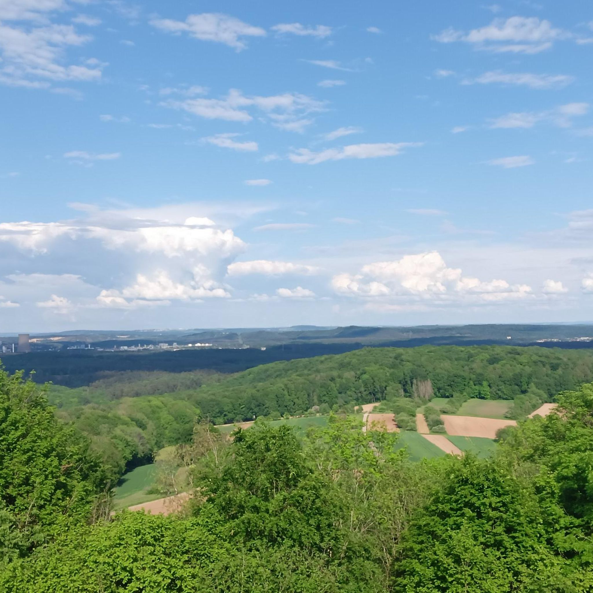
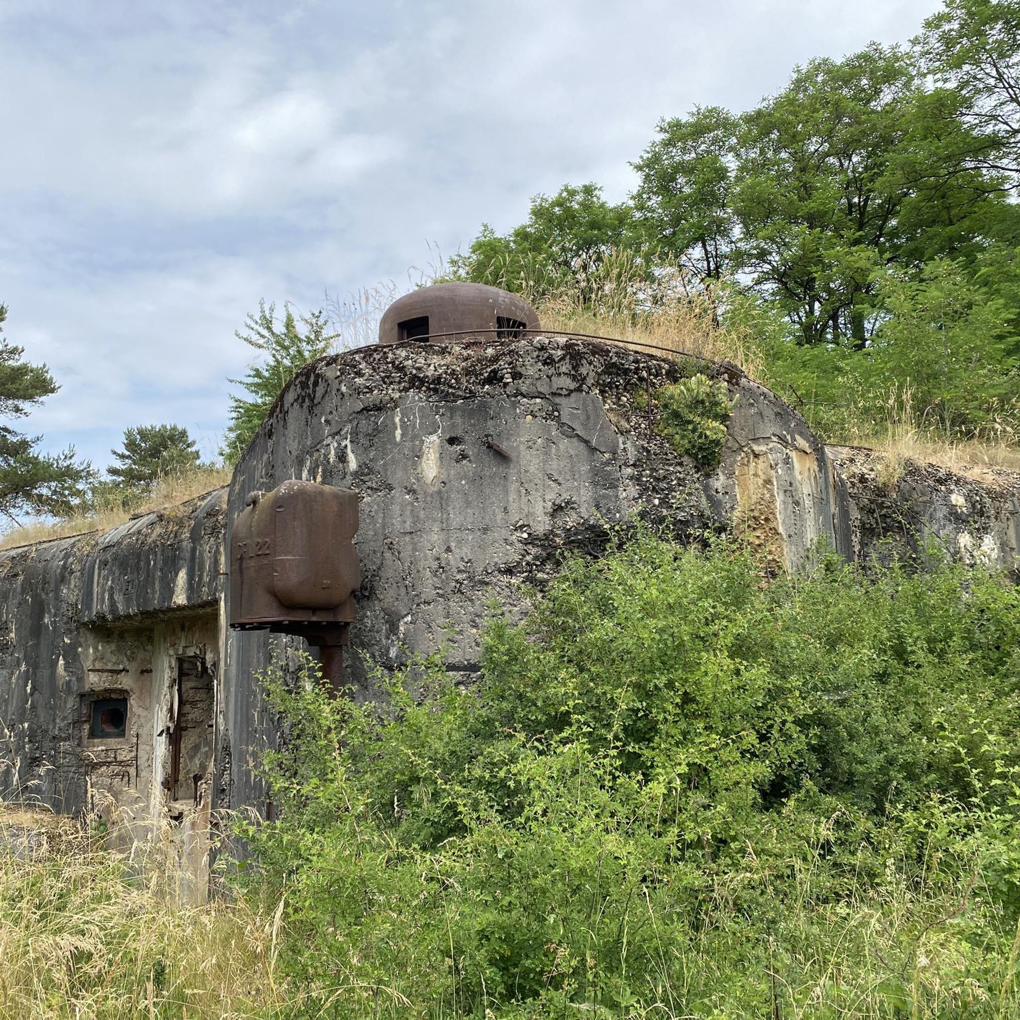
The Kerfent fort is a Maginot Line fortification located in the Faulquemont fortified sector in Moselle, not far from the former Zimming security barracks. Its name originates from a wood located north of National Route 3. Along with its neighbor, the Bambesch wood, it defended this important passage against a potential invasion. According to Marshal Pétain, this was "the heart of the Maginot Line." However, despite the fifteen blocks planned in the initial designs, this fortification was significantly reduced in size due to budget cuts: the artillery blocks, the separate entrance, and the defensive emplacements for a hypothetical anti-tank ditch were eliminated during construction, ultimately resulting in the building of a simple, small infantry fortification. The main construction work (concrete pouring) was completed in 1932.
0
0

In view of the small sacred monument encountered here, some hikers may feel the need to pause for a moment before this cross. As a perhaps helpful thought, I would like to offer a few quotes from Christiane Völkel: + "Only when I give heaven space, when I entrust myself to it, can I also feel that it is working. This doesn't always go in the direction I wish, but it fills me with a sense of security and relaxation, of being in God, of being protected, or at least not being alone. Sometimes then, the certainty rises within me that heaven is reaching out to me. Not just to hold me, but so that I can place my despair and helplessness into its hands."
0
0
The Einseling fortification is a single-block fortified structure of the Maginot Line located in the fortified sector of Faulquemont, between the communes of Bambiderstroff and Longeville-lès-Saint-Avold. Its name comes from the Finselingerberg hill on which it is built. When it was projected by the CORF in the 1930s, the army used old German maps where the Gothic script annotations were misinterpreted: the F in Finseling was transformed into an E.
1
0


The Maginot Line: The French Wall | ARTE https://youtu.be/Bvtxa08ysgc For those who would like to know more about the Maginot Line: de.wikipedia.org/wiki/Liste_der_Ouvrages_der_Maginot-Linie
1
0

The Hussards hill is a beautiful place for mountain biking. Several circuits are available at its entrance.
0
0

Easy circuit, low elevation, for those who want to walk without difficulty.
2
0
Frequently Asked Questions
How many hiking trails are available in Zimmingen?
Zimmingen offers a wide selection of hiking trails, with over 270 routes recorded on komoot. These include nearly 100 easy routes, over 160 moderate options, and a few more challenging trails for experienced hikers.
Are there any easy or beginner-friendly hikes in Zimmingen?
Yes, Zimmingen has nearly 100 easy hiking routes suitable for beginners or those looking for a relaxed walk. These trails typically feature gentle terrain and shorter distances, allowing you to enjoy the natural surroundings without significant effort.
What kind of terrain can I expect on Zimmingen's hiking trails?
The hiking trails around Zimmingen are characterized by dense woodlands, gently rolling hills, and open countryside. You'll find paths traversing forested areas and some routes that explore historical sites, offering a diverse mix of natural and cultural landscapes.
Are there any circular walks available in Zimmingen?
Many of Zimmingen's hiking routes are circular, allowing you to start and end at the same point. For example, the Forêt Domaniale de Saint-Avold – Croix 1740 loop from Boucheporn is a popular circular trail through the forest, taking about 3 hours 40 minutes to complete.
What historical landmarks can I see along the hiking trails in Zimmingen?
Zimmingen's trails often pass by significant historical sites. You can explore structures from the Maginot Line, such as on the View of Sources aux Lièvres – Maginot Line loop from Boucheporn. Other notable landmarks in the wider area include the Lorraine American Cemetery and Memorial and the Saint-Nabor Abbey Church of Saint-Avold.
Are there family-friendly hiking options in Zimmingen?
While specific 'family-friendly' routes are not explicitly categorized, the nearly 100 easy trails in Zimmingen are generally suitable for families. These routes are shorter and have less elevation gain, making them enjoyable for children and those who prefer a more leisurely pace.
Is Zimmingen a good destination for dog-friendly walks?
Yes, Zimmingen's extensive network of forest paths and open countryside trails are generally very welcoming for dogs. Most routes allow dogs, provided they are kept under control, especially in areas with wildlife or near livestock. Always check local signage for any specific restrictions.
What is the best time of year to go hiking in Zimmingen?
The best time for hiking in Zimmingen is typically from spring through autumn (April to October). During these months, the weather is generally mild, and the natural scenery, from blooming forests to vibrant autumn colors, is at its most beautiful. Winter hikes are also possible, but trails may be muddy or icy.
Where can I find parking for hiking trails in Zimmingen?
Many trailheads in and around Zimmingen offer designated parking areas. For example, the Parc de la Bisten is a known parking location that can serve as a starting point for various routes. Look for parking information at the beginning of specific komoot tours.
What do other hikers enjoy most about Zimmingen?
The komoot community highly rates hiking in Zimmingen, with an average score of 4.6 stars from over 370 reviews. Hikers often praise the region's varied terrain, the peaceful atmosphere of the dense woodlands, and the opportunity to explore historical sites like the Maginot Line.
Are there any routes that offer scenic views of the countryside?
Absolutely. Many trails in Zimmingen provide beautiful vistas, particularly those that traverse open countryside or reach higher elevations. The View of the Countryside loop from Boucheporn is specifically named for its scenic outlooks, offering panoramic views of the surrounding landscape.
Can I find trails with pub stops or refreshment options in Zimmingen?
While specific pub stops directly on every trail are not guaranteed, many villages and towns near the hiking routes in Zimmingen offer local restaurants and cafés where you can stop for refreshments. Planning your route to pass through a village like Boucheporn or Bambiderstroff will increase your chances of finding a place to eat or drink.
Most popular routes around Zimmingen
Most popular attractions around Zimmingen

Get inspired with the komoot mobile app


Explore more
Browse the best Hikes in other regions.
