The best walks and hikes around Vaylats
4.5
(131)
680
hikers
51
hikes
Hiking around Vaylats offers access to a landscape characterized by limestone plateaus, known locally as "causses," and areas of dense woodland. The terrain often features ancient geological formations and historical sites like dolmens. Elevation changes are generally moderate, with some routes including more significant climbs. The region provides a network of trails suitable for exploring its natural and cultural heritage.
Best hiking trails around Vaylats
- The most popular hiking route is Lac de Marcenac loop from Laval, a 3.1…
Last updated: May 12, 2026
4.7
(15)
92
hikers
29.5km
07:50
290m
290m
Hard hike. Very good fitness required. Easily-accessible paths. Suitable for all skill levels.
4.5
(12)
56
hikers
Hard hike. Very good fitness required. Easily-accessible paths. Suitable for all skill levels.

Sign up for free
4.8
(10)
68
hikers
11.1km
03:00
160m
160m
Moderate hike. Good fitness required. Easily-accessible paths. Suitable for all skill levels.
4.7
(10)
37
hikers
9.26km
02:26
80m
80m
Moderate hike. Good fitness required. Easily-accessible paths. Suitable for all skill levels.
4.5
(2)
7
hikers
5.07km
01:19
30m
30m
Easy hike. Great for any fitness level. Easily-accessible paths. Suitable for all skill levels.
Get access to more routes and recommendations from other explorers.
Sign up for free
Already have an account?
Our route recommendations are based on thousands of hikes, rides, and runs completed by other people on komoot.
Start today with a free account
Your next adventure awaits.
Login or Signup
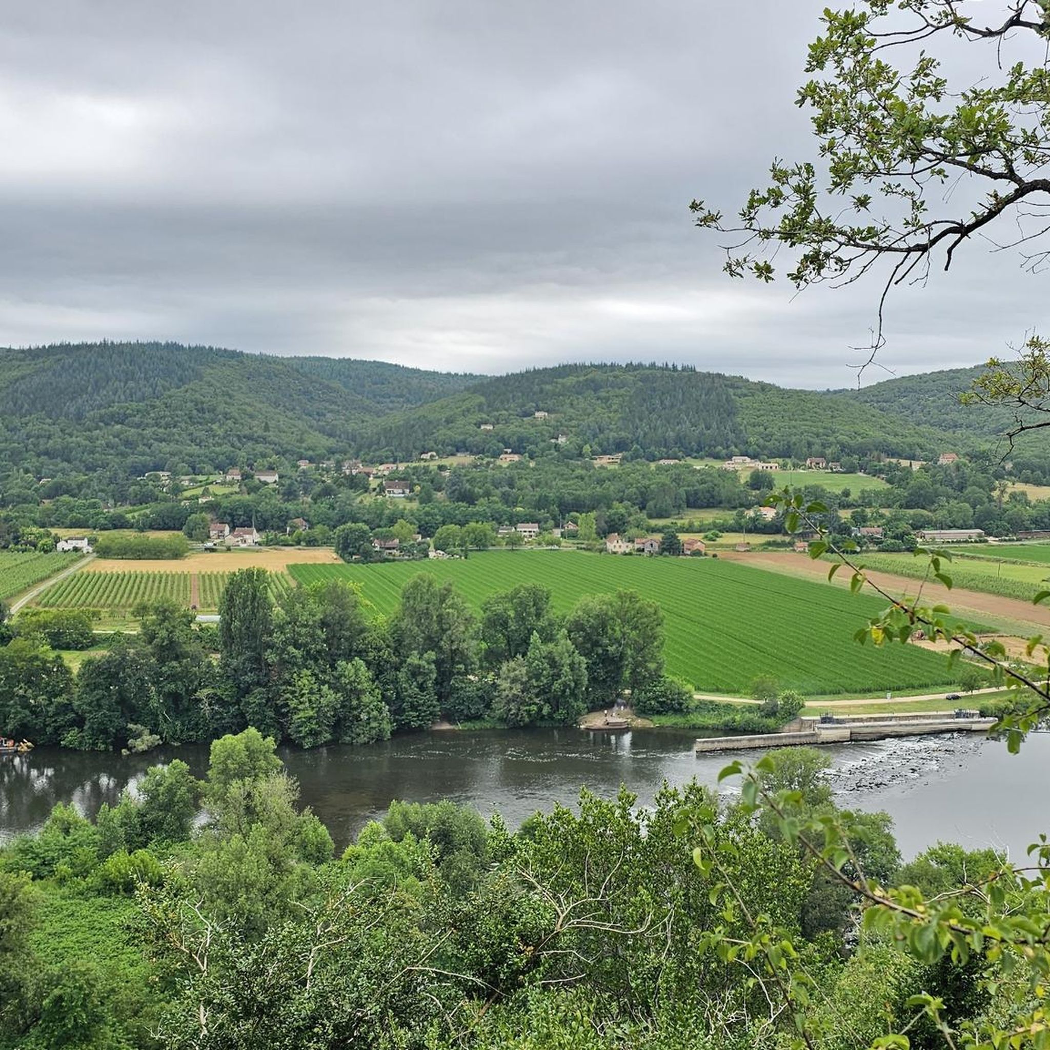
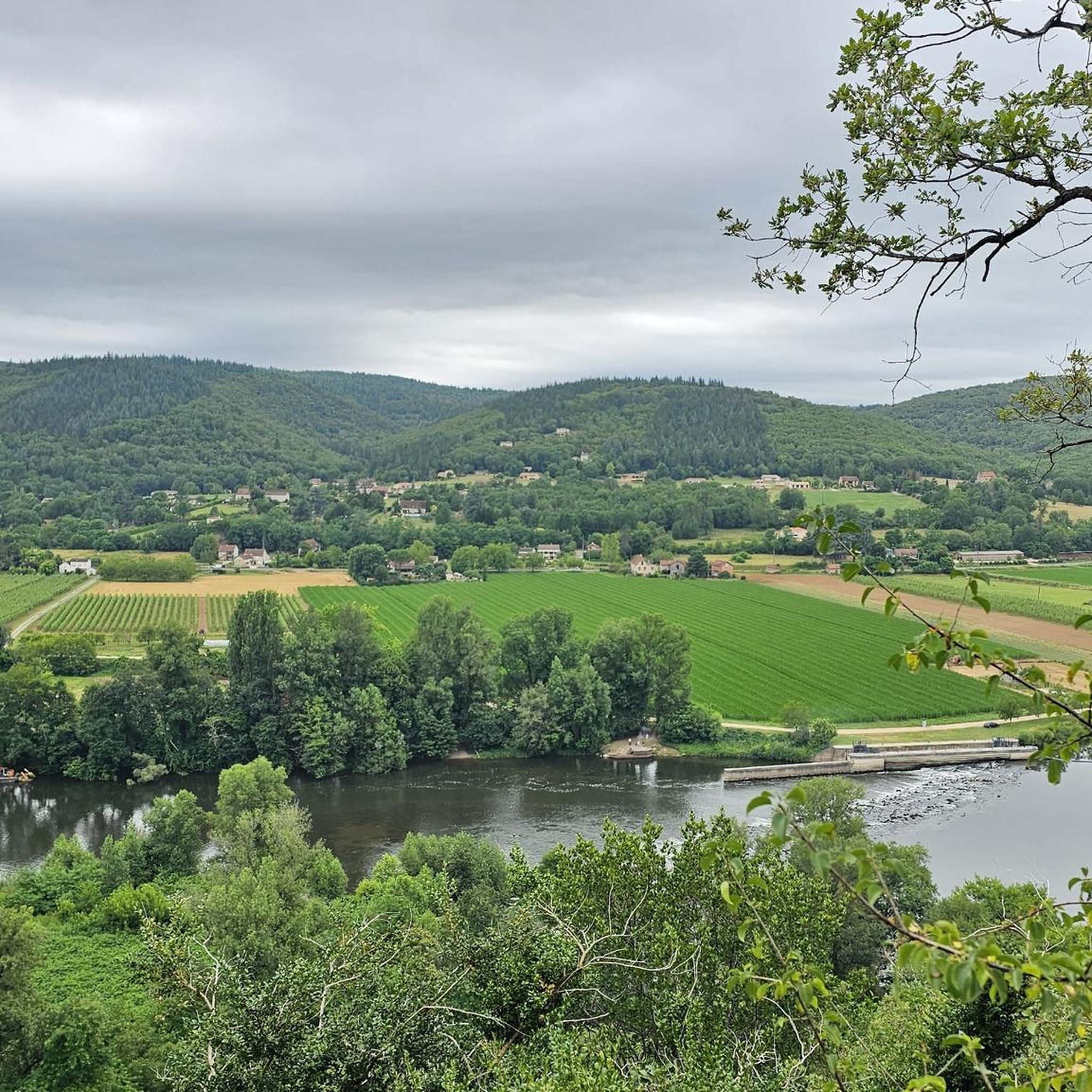


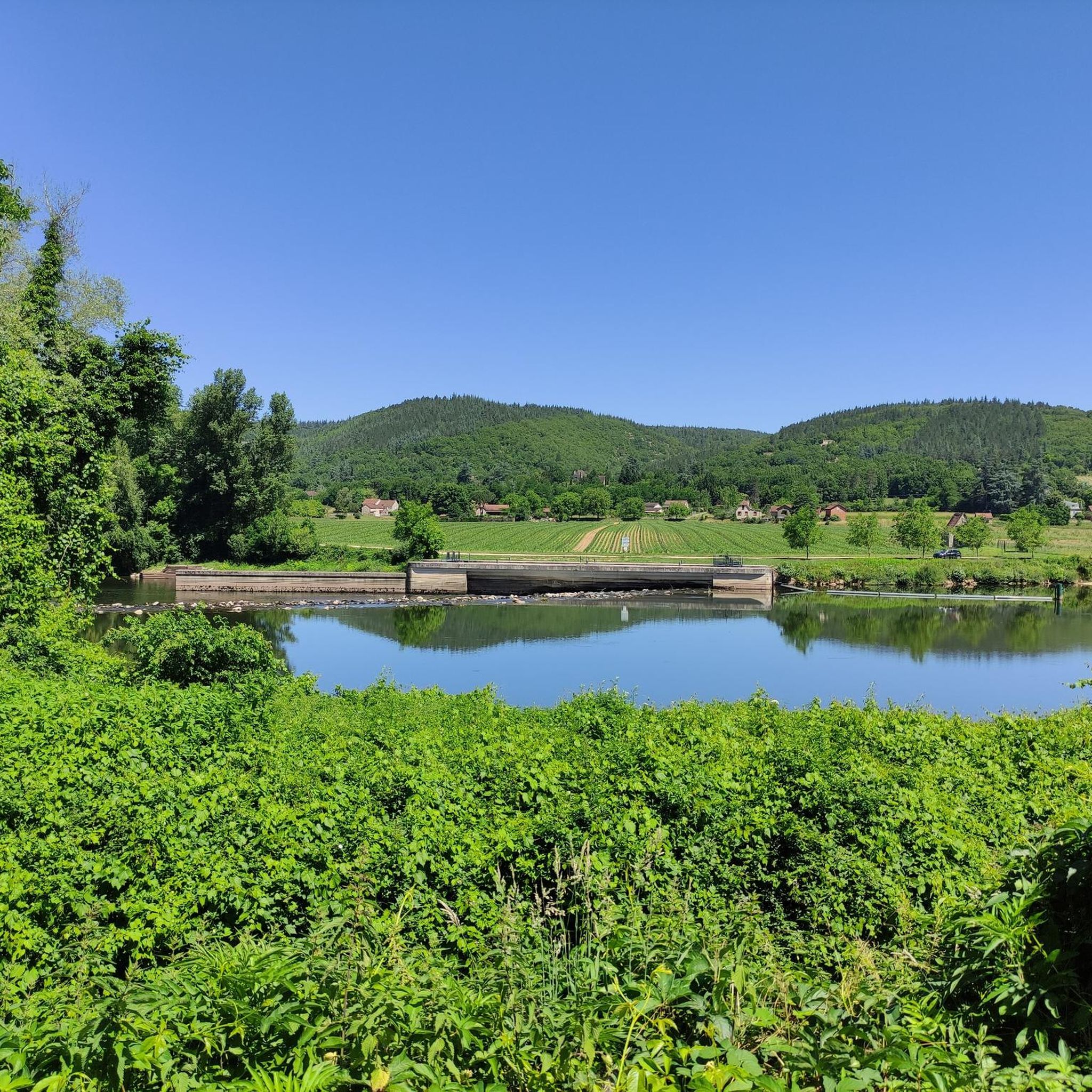
Tips from the Community

A lovely place full of history! We walked along a white path and observed these buildings in a beautiful landscape!
0
0


These wells are aligned on a geological fold characterized by a layer of impermeable clay located under the outcropping limestone. Each well is built above a "cistern" dug into the rock. The wells are therefore independent of each other. The "cisterns" are filled in two ways: by vertical infiltration of rainwater and by lateral flow of water. Here we can see the determination and ingenuity of the Caussenards to capture water that is particularly rare in the region.
2
0

Built between the 12th and the 16th century; for more than a century and a half the Armagnac family has owned it.
0
0

This dolmen is slightly larger and in better condition than its neighbor. It was therefore used as a sheepfold in the past.
2
0
Joncas Dolmen features a huge capstone and the dolmen is just under a meter high. Very impressive.
2
0

Impressive private castle in the town of Varaire, which can be visited from May to October. It includes a farm inn where it is possible to taste Lotoise gastronomy and Quercy products. A nice stopover before heading into the Natural Reserve of Geological Interest, which is a stone's throw away.
1
0

Frequently Asked Questions
How many hiking trails are available around Vaylats?
Vaylats offers a diverse network of over 50 hiking trails. These routes cater to various fitness levels, with options ranging from easy strolls to more challenging long-distance treks across the limestone plateaus and woodlands.
What do other hikers say about the trails in Vaylats?
The hiking trails around Vaylats are highly regarded by the komoot community, holding an average rating of 4.4 stars from over 100 reviews. Hikers often praise the region's unique geological features, ancient historical sites like dolmens, and the varied woodland paths.
Are there easy hiking trails suitable for beginners or families in Vaylats?
Yes, Vaylats has 13 easy hiking trails perfect for beginners or families. A great option is the Lac de Marcenac loop from Laval, which is a gentle 3.1-mile (5.1 km) path circling a scenic lake, offering a pleasant outdoor experience for all ages.
Are there any challenging long-distance hikes in Vaylats?
For experienced hikers seeking a challenge, Vaylats offers 7 difficult routes. One notable long-distance option is the Dolmen de Ferrières – Dolmen de Joncas loop from Bach, an 18.35-mile (29.5 km) trail that takes you through significant historical sites and varied terrain.
What kind of natural features or landmarks can I expect to see on hikes near Vaylats?
Hiking around Vaylats allows you to explore a landscape rich in natural and historical landmarks. You'll encounter unique geological formations, including ancient phosphorite beds, and numerous dolmens. Highlights include the impressive Dolmen du lac d'Aurié and the Dolmen de Joncas.
Are there any historical sites to explore on the trails?
Absolutely. The Vaylats region is dotted with historical sites, particularly ancient dolmens, which are prehistoric megalithic tombs. The Dolmen de Ferrières – Dolmen de Joncas loop from Bach is an excellent route for exploring several of these fascinating structures. You might also encounter the historic Château Saint-Projet nearby.
Are there circular hiking routes around Vaylats?
Yes, many trails in Vaylats are designed as circular routes, allowing you to start and end at the same point. Examples include the popular Lac de Marcenac loop from Laval and the Cloup d'Aural phosphorite beds loop from Bach, which explores unique geological features.
Can I hike with my dog in Vaylats?
Generally, dogs are welcome on most hiking trails in the Vaylats region, especially on public footpaths. However, it's always advisable to keep your dog on a leash, particularly in areas with livestock or protected wildlife, and to check specific trail regulations if available. Always carry water for your pet.
What is the best time of year to go hiking in Vaylats?
The best time for hiking in Vaylats is typically during the spring (April to June) and autumn (September to October). During these seasons, the weather is mild and pleasant, and the natural scenery is particularly vibrant with wildflowers or autumn colors. Summers can be hot, making early morning or late afternoon hikes preferable, while winters are generally cool and can be damp.
Are there trails that highlight the unique geology of the region?
Yes, the Vaylats area is known for its distinctive limestone plateaus, or 'causses,' and ancient geological formations. The Cloup d'Aural phosphorite beds loop from Bach is an excellent moderate trail that specifically explores an area known for its unique geological features, including ancient phosphorite beds.
Are there hiking routes with good parking facilities in Vaylats?
Most popular trailheads and starting points for hikes around Vaylats, especially those near villages or attractions, typically offer designated parking areas. It's always recommended to check the route details on komoot for specific parking information before you set out, as some smaller, less-frequented trails might have limited facilities.
Most popular attractions around Vaylats

Get inspired with the komoot mobile app


Explore more
Browse the best Hikes in other regions.
