The best road cycling routes around Bragayrac
4.6
(23)
880
riders
136
rides
Road cycling around Bragayrac, located in the Haute-Garonne department of southwestern France, offers varied terrain suitable for cyclists. The commune's elevation ranges from 669 to 1,070 feet (204 to 326 meters), providing inclines and descents across its landscape. This area is part of the Occitanie region, known for its natural scenery and potential for outdoor activities. The local road cycling routes navigate through this undulating countryside, offering diverse experiences.
Best road cycling routes around Bragayrac
- The most popular road cycling…
Last updated: July 2, 2026
44
riders
55.4km
02:26
520m
520m
Moderate road ride. Good fitness required. Mostly well-paved surfaces and easy to ride.
20
riders
12.4km
00:32
110m
110m
Easy road ride. Great for any fitness level. Mostly well-paved surfaces and easy to ride.

Sign up for free
4.0
(1)
12
riders
49.4km
02:07
380m
380m
Moderate road ride. Good fitness required. Mostly well-paved surfaces and easy to ride.
17
riders
65.2km
02:52
600m
600m
Moderate road ride. Good fitness required. Mostly well-paved surfaces and easy to ride.
9
riders
76.9km
03:29
730m
730m
Moderate road ride. Good fitness required. Mostly well-paved surfaces and easy to ride.
Get access to more routes and recommendations from other explorers.
Sign up for free
Already have an account?
Our route recommendations are based on thousands of hikes, rides, and runs completed by other people on komoot.
Start today with a free account
Your next adventure awaits.
Login or Signup
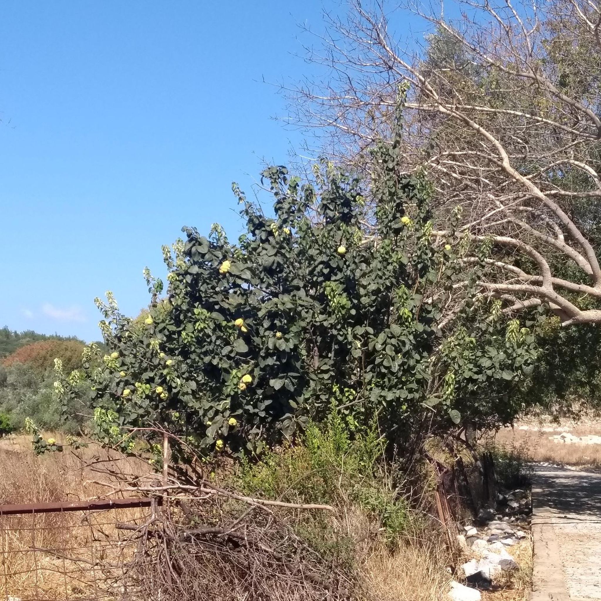
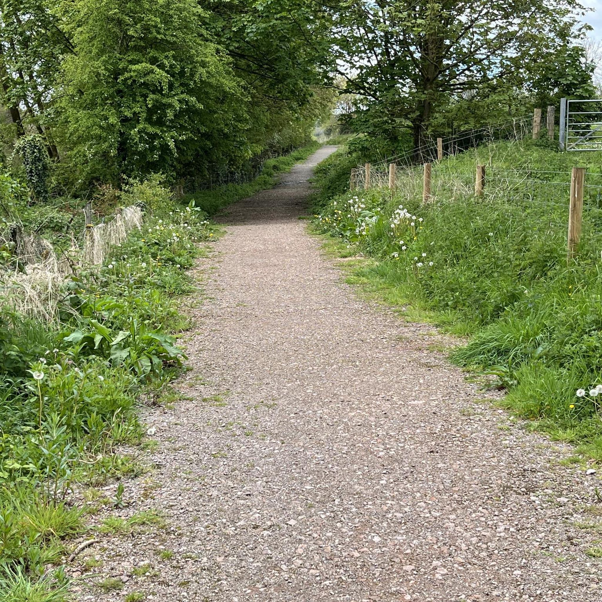
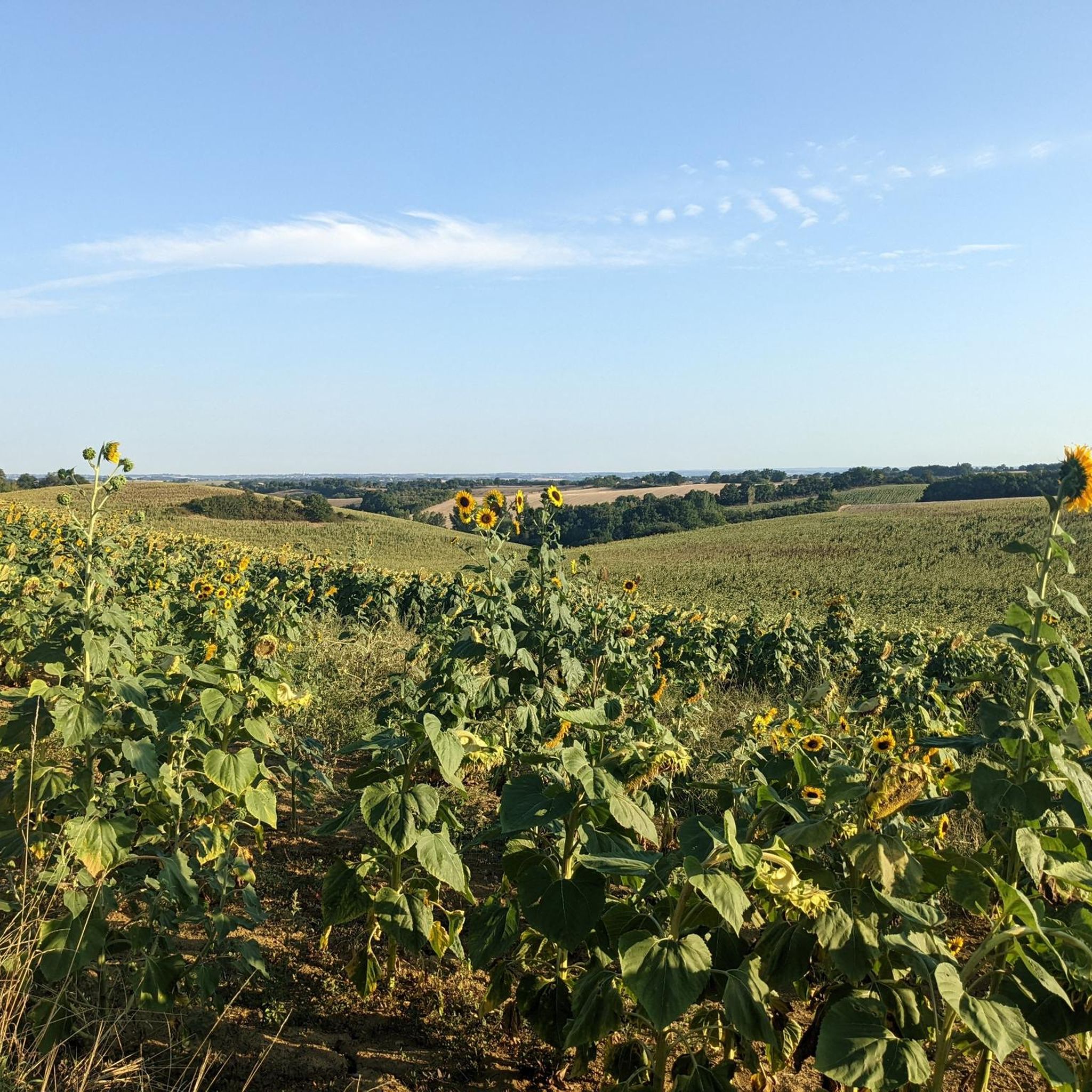
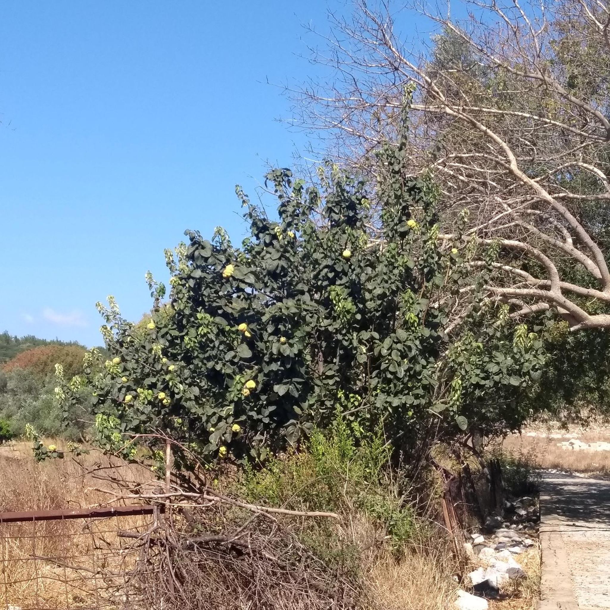
Tips from the Community

Very pretty town with a beautiful covered market.
0
0

Simorre is located in the Astarac region, a very hilly area in the south of Gers, with clay soil, which runs along the Lannemezan plateau. You will be dazzled by this small medieval village and especially by the Notre-Dame-de-l'Assomption church which sits majestically in the middle of the village. As it is fortified, it looks as much like a church as a fortified castle. It is surprising.
1
0


Beautiful chateau near Cazaux-Saves. Unfortunately you cannot visit it as it is privately owned.
0
0
Beautiful nature and great views of the surrounding area.
1
0
A nice little place with a beautiful church and a great view of the surrounding area. There is even a baguette machine here.
1
0

Two big lakes just on the outskirts f town offer water based activities; swimming and a "water park" for kids.
1
0
Frequently Asked Questions
What kind of terrain can I expect when road cycling around Bragayrac?
Road cycling around Bragayrac offers varied terrain, characterized by gentle hills and open countryside. The commune's elevation ranges from 204 to 326 meters (669 to 1,070 feet), providing a mix of inclines and descents across its landscape. This undulating countryside offers diverse experiences for cyclists.
How many road cycling routes are available in the Bragayrac area?
There are over 140 road cycling routes available around Bragayrac. These routes cater to various skill levels, including easy, moderate, and challenging options.
Are there any easy road cycling routes suitable for beginners or shorter rides?
Yes, there are easy routes available. For instance, the Roadbike loop from Saint-Thomas is an easy 12.4 km (7.7 miles) trail that can be completed in about 32 minutes, perfect for a shorter, less strenuous ride through the rural landscape.
What are some notable landmarks or attractions I can see while cycling around Bragayrac?
While cycling, you might encounter various points of interest. Some attractions in the wider area include Caumont Castle, the bustling Samatan Covered Market, and the serene Lake Saint-Thomas. You can also discover historical paths like the Roman Road of Bois de Nérat.
What do other road cyclists say about the routes in Bragayrac?
The road cycling routes in Bragayrac are highly regarded by the komoot community, holding an average rating of 4.7 stars from over 27 reviews. Cyclists often appreciate the varied terrain and the scenic countryside views.
Are there any challenging road cycling routes with significant elevation gain?
Yes, for those seeking a challenge, routes like the Caumont Castle – Samatan Covered Market loop from Sainte-Foy-de-Peyrolières offer substantial elevation gain, with over 650 meters (2,130 feet) of climbing over 51.6 km (32 miles).
What is the best time of year for road cycling in Bragayrac?
Bragayrac is located in southwestern France, part of the Occitanie region. Generally, spring and autumn offer pleasant temperatures for road cycling, avoiding the potentially hot summer months and cooler winter conditions. Always check local weather forecasts before your ride.
Are there circular road cycling routes available?
Yes, many of the routes around Bragayrac are designed as loops. For example, the L'Isle-Jourdain Town Center – Caumont Castle loop from Pompiac is a moderate 49.4 km (30.7 miles) circular route that allows you to start and finish at the same point.
Is Bragayrac suitable for family-friendly road cycling?
While specific family-friendly road cycling infrastructure is not detailed, the presence of easy routes like the Roadbike loop from Saint-Thomas suggests options for families or those preferring less strenuous rides. These routes typically navigate through quieter rural landscapes.
Can I find places to eat or drink along the road cycling routes in Bragayrac?
As Bragayrac is a rural commune, specific cafes or pubs directly on every route are not guaranteed. However, routes often pass through or near small towns and villages where you can typically find local establishments for refreshments. Planning your route with potential stops in mind is advisable.
What are the options for parking when road cycling in Bragayrac?
Specific dedicated cycling parking facilities are not detailed for Bragayrac. However, in rural areas, cyclists typically find parking in village centers, near local amenities, or at designated public parking areas. It's always recommended to check local signage for parking regulations.
Are there any road cycling routes that offer particularly scenic viewpoints?
The region's undulating terrain and open countryside provide numerous opportunities for scenic views. Routes like the View from Castéra – Garac Viewpoint loop from Pompiac explicitly highlight viewpoints, suggesting picturesque vistas across the local landscape.
Most popular attractions around Bragayrac

Get inspired with the komoot mobile app


Explore more
Browse the best Road cycling routes in other regions.
