The best road cycling routes around Bienstädt
4.5
(113)
1,895
riders
58
rides
Road cycling routes around Bienstädt offer diverse terrain within the Fahnersche Höhen, a region characterized by extensive forested areas and a tradition of fruit cultivation. Situated at 351 meters above sea level, Bienstädt provides access to routes with varied elevation profiles, including both challenging climbs and scenic descents. The landscape features the largest continuous forest area in the Thuringian Basin, alongside agricultural paths. This combination creates a dynamic environment for road cyclists.
Best road cycling routes around Bienstädt
- The most…
Last updated: June 25, 2026
4.5
(20)
105
riders
43.4km
01:59
470m
470m
Moderate road ride. Good fitness required. Mostly well-paved surfaces and easy to ride.
4.0
(1)
62
riders
46.4km
02:06
280m
280m
Moderate road ride. Good fitness required. Some segments of this route may be unpaved and difficult to ride.

Sign up for free
3.0
(1)
29
riders
11.2km
00:33
160m
160m
Easy road ride. Great for any fitness level. Mostly well-paved surfaces and easy to ride.
12
riders
18.7km
00:49
120m
120m
Easy road ride. Great for any fitness level. Mostly well-paved surfaces and easy to ride.
4.5
(2)
104
riders
Moderate road ride. Good fitness required. Some segments of this route may be unpaved and difficult to ride.
Get access to more routes and recommendations from other explorers.
Sign up for free
Already have an account?
Our route recommendations are based on thousands of hikes, rides, and runs completed by other people on komoot.
Start today with a free account
Your next adventure awaits.
Login or Signup
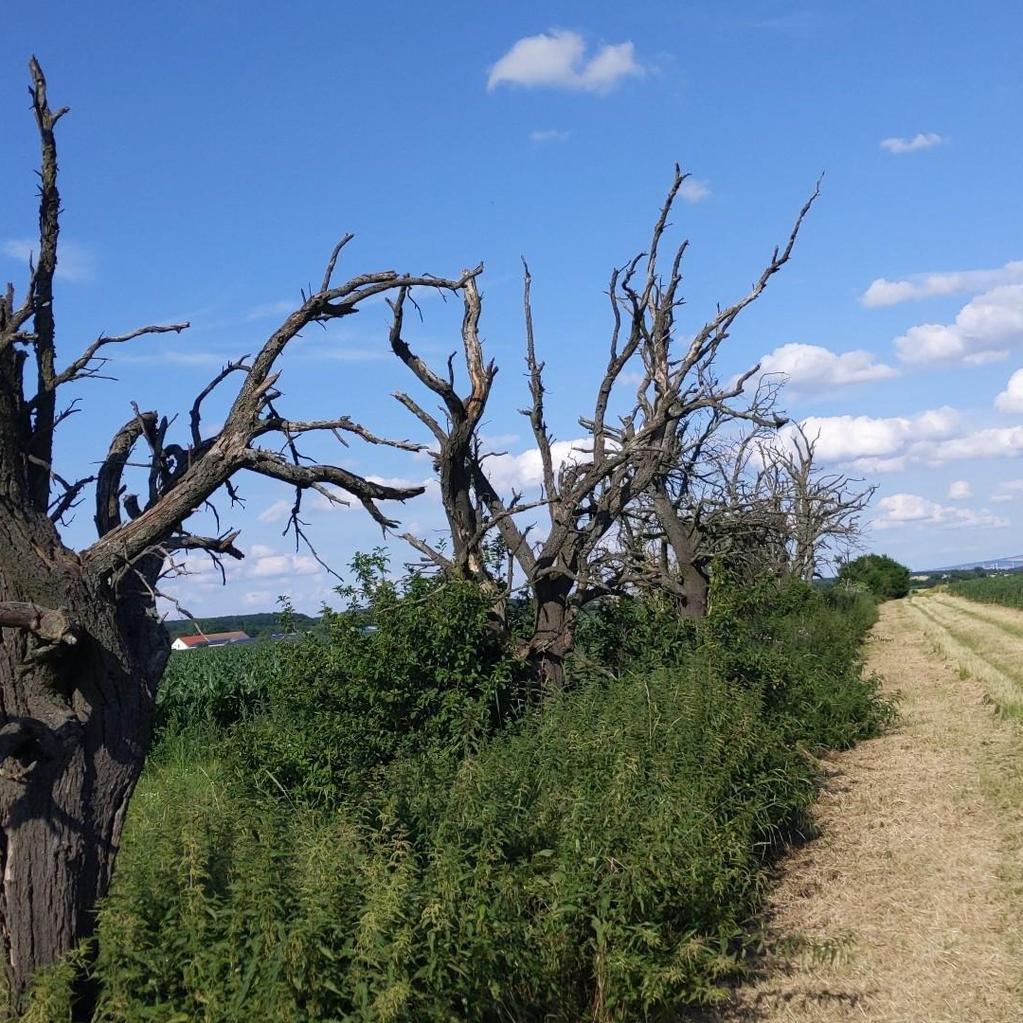
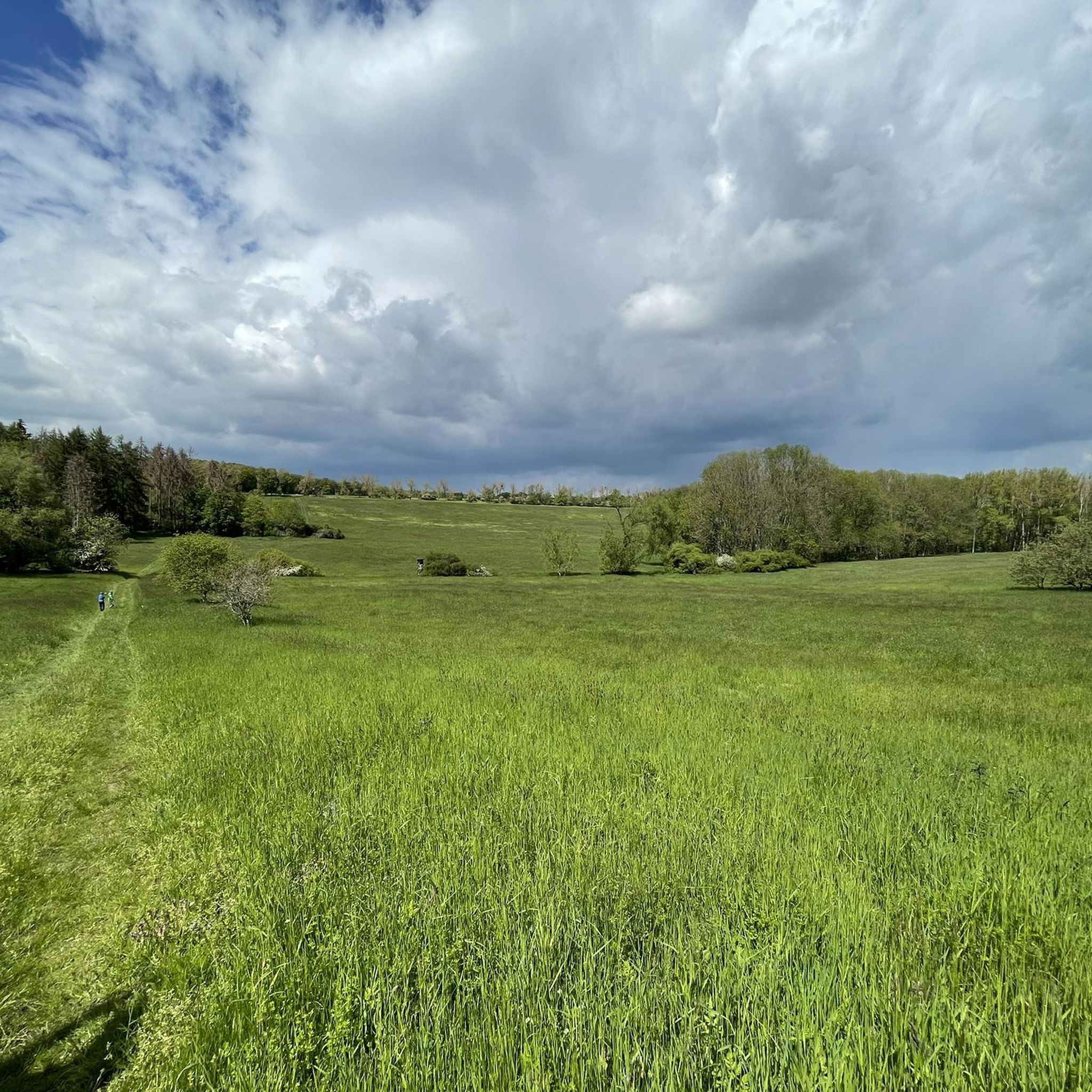
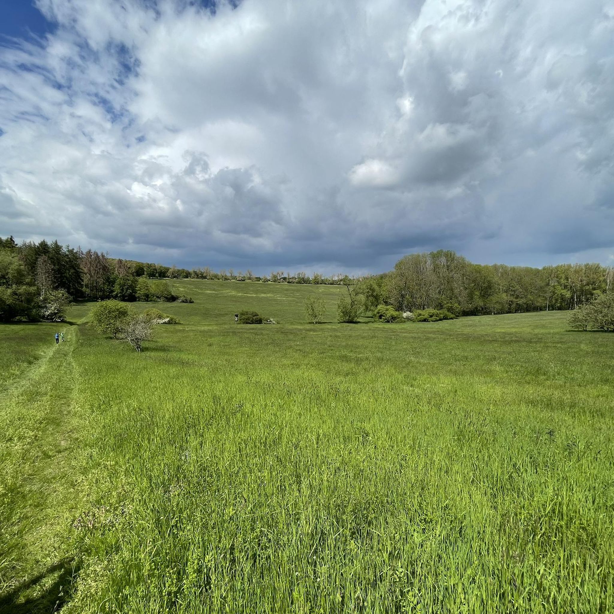
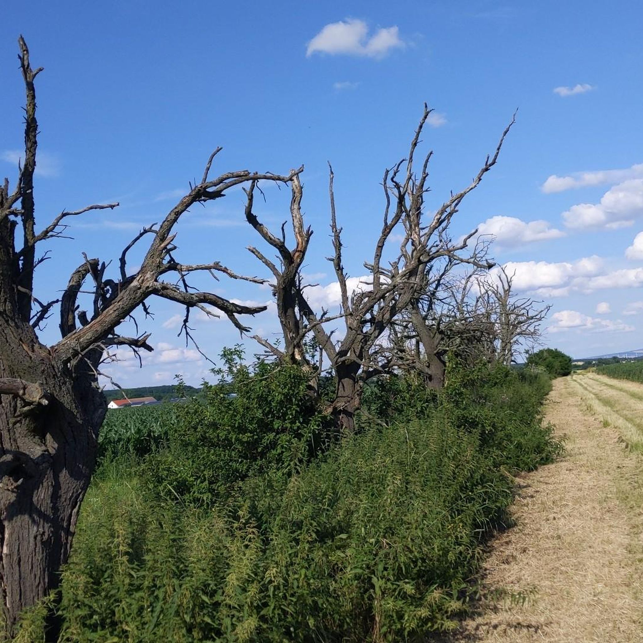

Tips from the Community

Unfortunately currently used as an emergency shelter.
0
0

Equipped with a picking bucket and a map, you can pick your own apples and cherries, depending on the season, and receive expert advice. At the end, the apples are weighed—and you take home your very own harvest basket. It doesn't get any fresher than this!
0
0

The district of Friedrichsdorf was founded in 1780 as a small colony by the agricultural inspector Neithardt von Gneisenau on the orders of the Archbishop of Mainz and sovereign Friedrich Karl Joseph von Erthal.
0
0

Every type of church is an eye-catcher.
1
2

beautiful well paved section through the fields and plantations
0
0
nice narrow cycle path, with oncoming traffic it can be very narrow
0
0

Frequently Asked Questions
How many road cycling routes are available around Bienstädt?
There are over 50 road cycling routes around Bienstädt, offering a wide range of options for different skill levels and preferences. The komoot community has explored these routes over 1,700 times, highlighting the area's popularity for road biking.
What kind of terrain can I expect when road cycling in Bienstädt?
Bienstädt, situated in the Fahnersche Höhen, offers varied terrain. You'll encounter forested hills, agricultural paths, and scenic descents, with the village itself being the highest point in the Fahnersche Höhen at 351 meters above sea level. This provides a dynamic environment with both challenging climbs and more relaxed sections.
Are there easy road cycling routes suitable for beginners or families in Bienstädt?
Yes, Bienstädt offers several easy road cycling routes. For example, the Obstpark Gierstädt – St. Veit Church Kleinfahner loop from Gierstädt is an easy 11.5-mile (18.5 km) trail that takes you through charming fruit orchards, perfect for a relaxed ride. Overall, 20 of the available routes are rated as easy.
What are some notable landmarks or attractions I can see while cycling in Bienstädt?
While cycling, you can explore historical and natural landmarks. The 15th-century Bienstädter Warte, a former watchtower, is a significant historical monument. You might also encounter the Gera River and the Arch Bridge at Gispersleben or the Unstrut Valley Nature Reserve. The region is also known for its fruit cultivation, with 'Obst'-paths offering unique agricultural scenery.
Are there any challenging road cycling routes for experienced riders?
Yes, for experienced riders seeking a challenge, Bienstädt offers routes with more significant elevation changes. While most routes are moderate, there are 3 difficult routes available. The varied landscape of the Fahnersche Höhen ensures that even moderate routes like the Backhaus Friedrichsdorf – Fahner Mill loop from Molschleben provide a good workout with over 460 meters of elevation gain.
What is the best time of year to go road cycling in Bienstädt?
The spring and autumn months are generally ideal for road cycling in Bienstädt, offering pleasant temperatures and beautiful scenery, especially when the fruit orchards are in bloom or displaying autumn colors. Summer can also be excellent, though it's advisable to start earlier in the day to avoid the midday heat.
Can I find circular road cycling routes around Bienstädt?
Yes, many of the road cycling routes around Bienstädt are designed as loops, allowing you to start and end at the same point. Examples include the Witterda–Tiefthal Scenic Route – Fahner Mill loop from Großfahner and the Witterda–Tiefthal Scenic Route – Kleinfahner Orchards loop from Witterda, which offer convenient circular tours.
What do other road cyclists say about the routes in Bienstädt?
The road cycling routes in Bienstädt are highly rated by the komoot community, with an average score of 4.5 stars from over 100 reviews. Cyclists often praise the varied landscapes, the mix of forested areas and agricultural paths, and the well-maintained routes that cater to different skill levels.
Are there any natural features or protected areas to be aware of?
Yes, the region is part of the Fahnersche Höhen, which is the largest continuous forest area in the Thuringian Basin. It's also an EU bird protection area and an FFH (Fauna-Flora-Habitat) area, highlighting its ecological importance. The Weisbach stream originates in Bienstädt, adding to the natural charm.
Is there public transport access to the road cycling routes in Bienstädt?
While Bienstädt is a smaller municipality, public transport options to nearby towns like Gotha or Erfurt may be available, from which you can cycle to Bienstädt. It's recommended to check local bus schedules for connections to Bienstädt or surrounding villages to plan your access.
Where can I find parking for my car when starting a road cycling tour in Bienstädt?
Parking is generally available in and around Bienstädt, particularly in the village center or near trailheads. Look for designated parking areas or consider starting your tour from a nearby larger town with more extensive parking facilities, such as Gierstädt or Molschleben, which are common starting points for many routes.
Are there opportunities for long-distance road cycling from Bienstädt?
Bienstädt's location within the Thuringian Basin and proximity to the Thuringian Forest Nature Park makes it a good starting point for longer rides. You can connect to extensive networks like the Gera River Cycle Path or explore the broader Fahnersche Höhen area, which offers numerous connections for extended tours.
Most popular routes around Bienstädt
Most popular attractions around Bienstädt

Get inspired with the komoot mobile app


Explore more
Browse the best Road cycling routes in other regions.
