The best MTB trails around Courcelles-Lès-Montbéliard
4.5
(473)
2,081
riders
256
rides
Mountain bike trails around Courcelles-Lès-Montbéliard are set within a hilly landscape, characterized by elevations ranging from 308m to 347m. The area features a mix of urban development, agricultural land, and significant forest cover, including the Bois de Courcelles and the Parc des Sablières. This diverse terrain, situated on the left bank of the Allan river, provides varied conditions for mountain biking.
Best mountain bike trails around Courcelles-Lès-Montbéliard
- The most popular mountain bike trail is Dolmen de Brevilliers – Mine Shaft…
Last updated: July 7, 2026
4.7
(15)
66
riders
48.5km
04:31
700m
700m
Hard mountain bike ride. Good fitness required. Advanced riding skills necessary. Some portions of the route may require you to push your bike.
4.8
(19)
56
riders
31.6km
01:56
140m
140m
Moderate mountain bike ride. Great for any fitness level. Advanced riding skills necessary.

Sign up for free
4.4
(12)
51
riders
46.4km
03:43
740m
740m
Hard mountain bike ride. Good fitness required. Advanced riding skills necessary. Some portions of the route may require you to push your bike.
4.5
(4)
21
riders
28.9km
02:23
510m
510m
Moderate mountain bike ride. Good fitness required. Advanced riding skills necessary.
4.3
(3)
23
riders
47.0km
04:22
850m
850m
Hard mountain bike ride. Good fitness required. Advanced riding skills necessary. Some portions of the route may require you to push your bike.
Get access to more routes and recommendations from other explorers.
Sign up for free
Already have an account?
Our route recommendations are based on thousands of hikes, rides, and runs completed by other people on komoot.
Start today with a free account
Your next adventure awaits.
Login or Signup
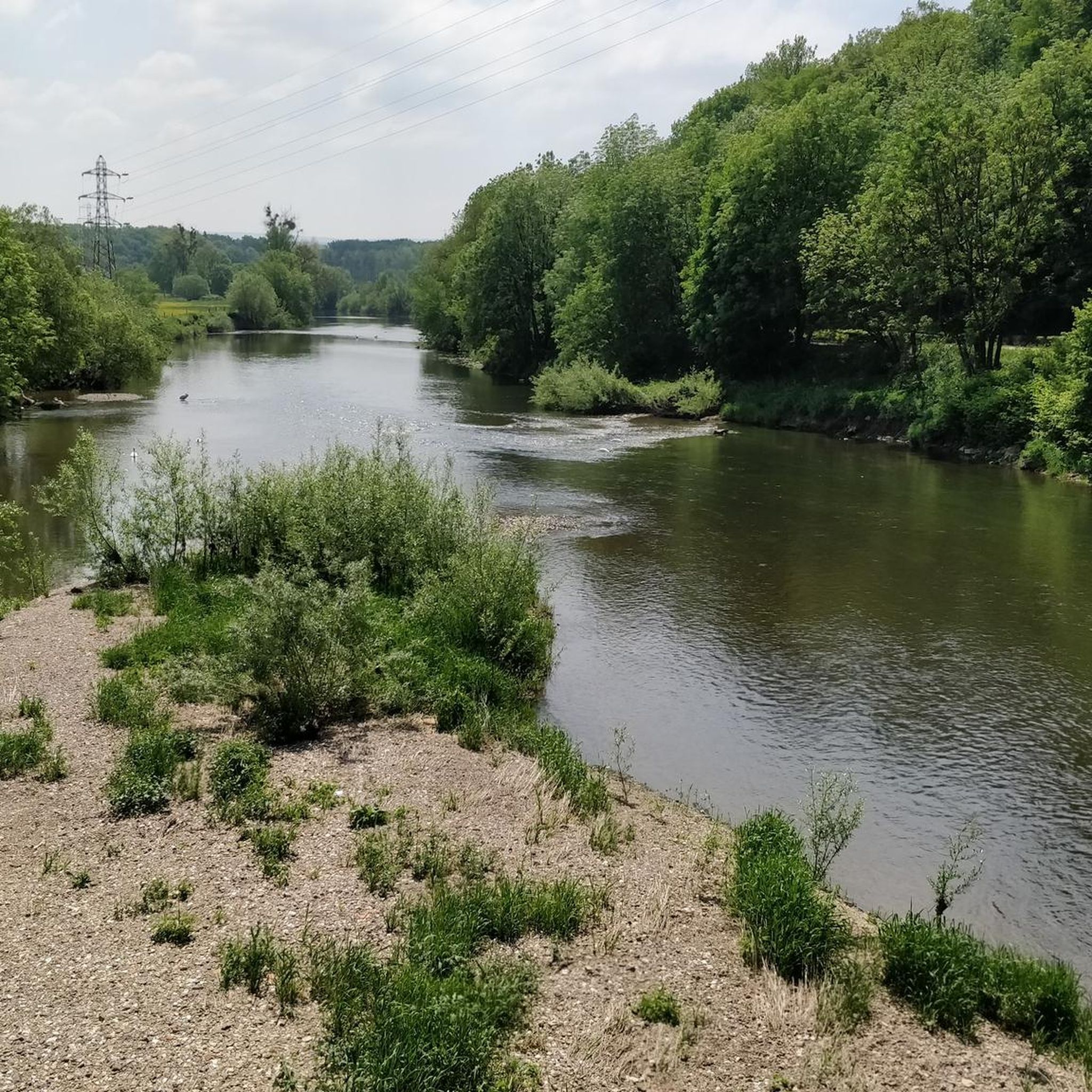


Tips from the Community

An impressively large amphitheater dating from Roman times
1
0

nice tour along chanels and rivers.. for now from Mulhouse to Besançon... and further... until Nevers
0
0

Great bike paths, very beautiful area.
0
0

A beautiful green paradise between the highway and the city. The birdsong even drowns out the highway noise.
0
0

A beautiful strip of nature with waters and wet meadows, between the motorway and the city, for relaxation and enjoyment of nature.
3
0

This obviously interested me in my search for a good tour and that's why I looked here as I had no idea what dolmens were: https://www.lieux-insolites.fr/hsaone/brevilliers/brevilliers.htm The Brévilliers dolmen This dolmen was excavated between 1976 and 1984 by Messrs Petrequin and Pinigre. It is part of a group of 18 megaliths located on the limestone plateau of the Haute-Saône, north of the Jura Arc. These monuments are the survivors of what is certainly a much larger whole. Archival documents refer to a second dolmen in Brévilliers. But this one has unfortunately disappeared. ………….
1
0

a beautiful place, at the top of a good hill where I "sweated" a lot...
0
0

Beautiful scenery and nice cycle path.
0
0
Frequently Asked Questions
How many mountain bike trails are available around Courcelles-Lès-Montbéliard?
There are over 270 mountain bike trails in the Courcelles-Lès-Montbéliard area. This includes a wide variety of routes, with 23 easy, 94 moderate, and 155 difficult options to choose from.
What kind of terrain can I expect on mountain bike trails in Courcelles-Lès-Montbéliard?
The terrain around Courcelles-Lès-Montbéliard is characterized by a hilly landscape with elevations ranging from 308m to 347m. You'll encounter a mix of urban development, agricultural land, and significant forest cover, including the Bois de Courcelles and the Parc des Sablières. This diverse environment provides varied conditions, from gentle paths to more challenging inclines and descents.
Are there any family-friendly mountain bike trails in the area?
Yes, the region offers several easy and moderate trails suitable for families. The Montbéliard – Trail Along the Savoureuse loop from Montbéliard is a moderate 19.7-mile (31.7 km) path that follows the Savoureuse river, providing a mix of natural and urban scenery that can be enjoyable for a family outing.
Are there circular mountain bike routes available?
Many of the mountain bike routes in the Courcelles-Lès-Montbéliard area are designed as loops. For example, the Le Rupt (Princes' Pond) – Étang des Princes loop from Montbéliard is a moderate 27.6 km circular route that offers beautiful natural scenery.
What are some of the longer mountain bike routes in the region?
For those seeking longer rides, the Dolmen de Brevilliers – Mine Shaft loop from Montbéliard is a challenging 30.1-mile (48.5 km) trail, typically taking over 4 hours to complete. Another option is the Ancient Theatre of Mandeure – Mandeure Viewpoint loop from Voujeaucourt, which is 29.7 miles (47.8 km) long.
What interesting sights can I see along the mountain bike trails?
While mountain biking, you can encounter various points of interest. The Montbéliard–Haute-Saône Canal beside the Allan offers scenic views, and you might pass by the Dolmen de Brevilliers, a historical site. The Savoureuse Valley Nature Reserve is another natural highlight to explore.
Are there any natural parks or reserves accessible by mountain bike?
Yes, the Parc des Sablières de Bart et de Courcelles (also known as Les Pouges) is a preserved natural space that is explicitly accessible to mountain bikers. It features amenities like playgrounds and picnic tables, and its paths are suitable for cycling.
What is the best time of year for mountain biking in Courcelles-Lès-Montbéliard?
The diverse landscape, including forests and river valleys, makes mountain biking enjoyable across multiple seasons. Spring and autumn offer pleasant temperatures and beautiful scenery, while summer provides longer daylight hours. Always check local weather conditions before heading out.
What do other mountain bikers say about the trails in Courcelles-Lès-Montbéliard?
The mountain bike trails in Courcelles-Lès-Montbéliard are highly rated by the komoot community, with an average score of 4.4 stars from over 400 reviews. Riders often praise the varied terrain, the extensive forest cover, and the well-maintained paths that cater to different skill levels.
Are there challenging mountain bike routes for experienced riders?
Absolutely. The region offers 155 difficult routes for experienced mountain bikers. A notable challenging option is the La Pierre plate – Mont Vaudois Fort loop from Montbéliard, a 45 km trail with significant elevation gain, providing a demanding ride.
Is there parking available near the mountain bike trailheads?
Given the area's accessibility and its integration into the wider Montbéliard network, parking is generally available near popular starting points for trails, especially in and around Montbéliard and designated natural areas like the Parc des Sablières, which is equipped with amenities.
Most popular routes around Courcelles-Lès-Montbéliard
Most popular attractions around Courcelles-Lès-Montbéliard

Get inspired with the komoot mobile app


Explore more
Browse the best MTB trails in other regions.
