The best running trails around Pontgibaud
4.5
(29)
1,082
runners
82
runs
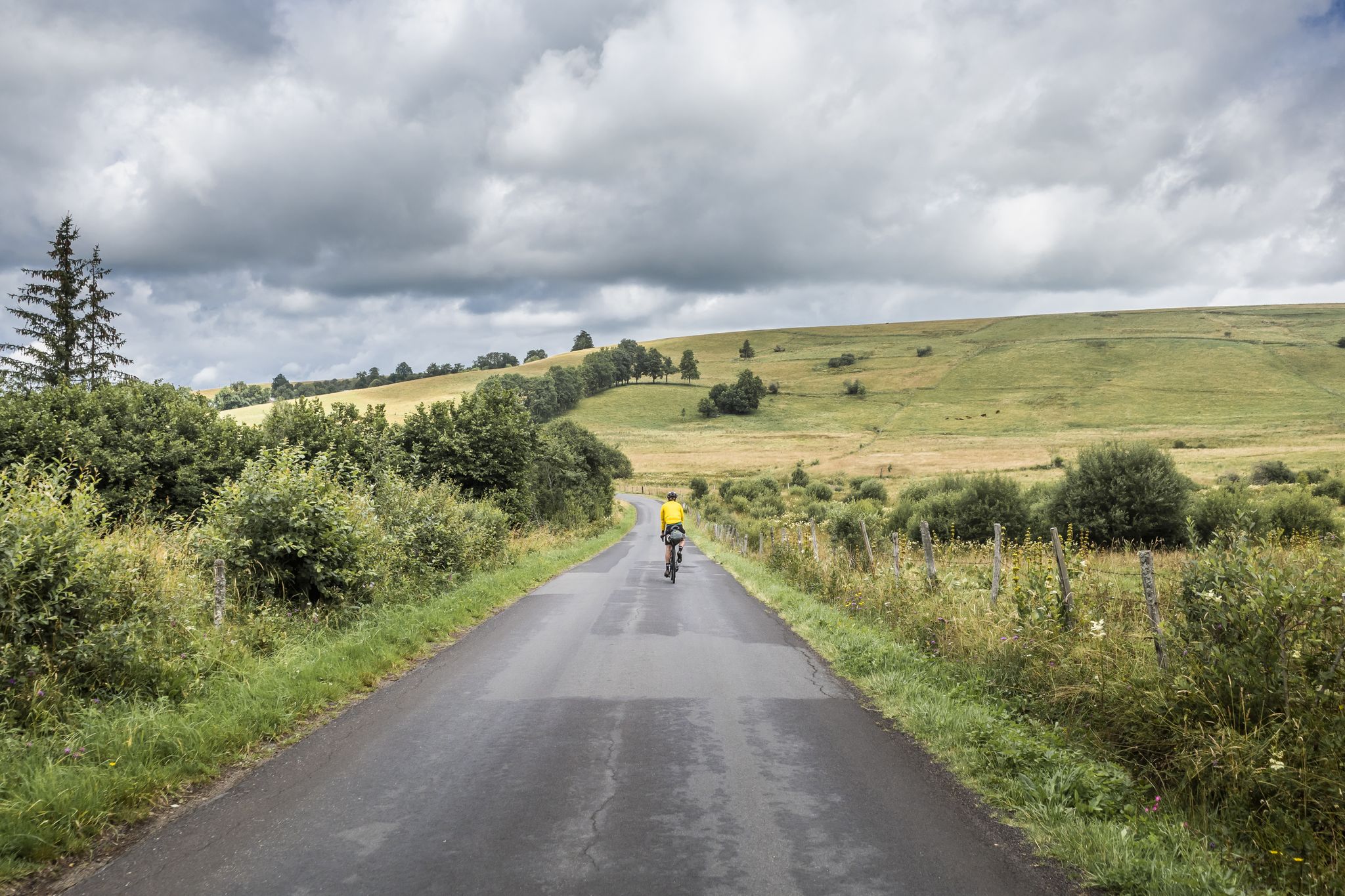
Jogging routes Pontgibaud offer a diverse landscape shaped by its volcanic origins within the Chaîne des Puys, a UNESCO World Heritage site. The region features distinctive volcanic cones, ancient lava flows like the Cheire de Pontgibaud, and wild forests of birch and hazelnut. Runners can explore varied terrain, from challenging ascents to the summits of hills like Puy de Dôme, to more gentle paths along the Sioule River. This area provides a rich natural environment for outdoor activities, combining geological…
Last updated: July 10, 2026
5.0
(1)
19
runners
4.88km
00:32
40m
40m
Moderate run. Great for any fitness level. Mostly accessible paths. Some sure footedness required.
5.0
(1)
6
runners
Moderate run. Good fitness required. Mostly accessible paths. Some sure footedness required.

Sign up for free
7
runners
6.06km
00:41
110m
110m
Moderate run. Good fitness required. Mostly accessible paths. Some sure footedness required.
3.0
(1)
6
runners
6.58km
00:42
70m
70m
Moderate run. Good fitness required. Mostly paved surfaces. Suitable for all skill levels.
5
runners
12.3km
01:19
130m
130m
Moderate run. Good fitness required. Mostly accessible paths. Some sure footedness required.
Get access to more routes and recommendations from other explorers.
Sign up for free
Already have an account?
Our route recommendations are based on thousands of hikes, rides, and runs completed by other people on komoot.
Start today with a free account
Your next adventure awaits.
Login or Signup

Other adventures around Pontgibaud

Tips from the Community


Path along the cheire de Pontgibeaud which is one of the most beautiful in the Puys chain.
0
0

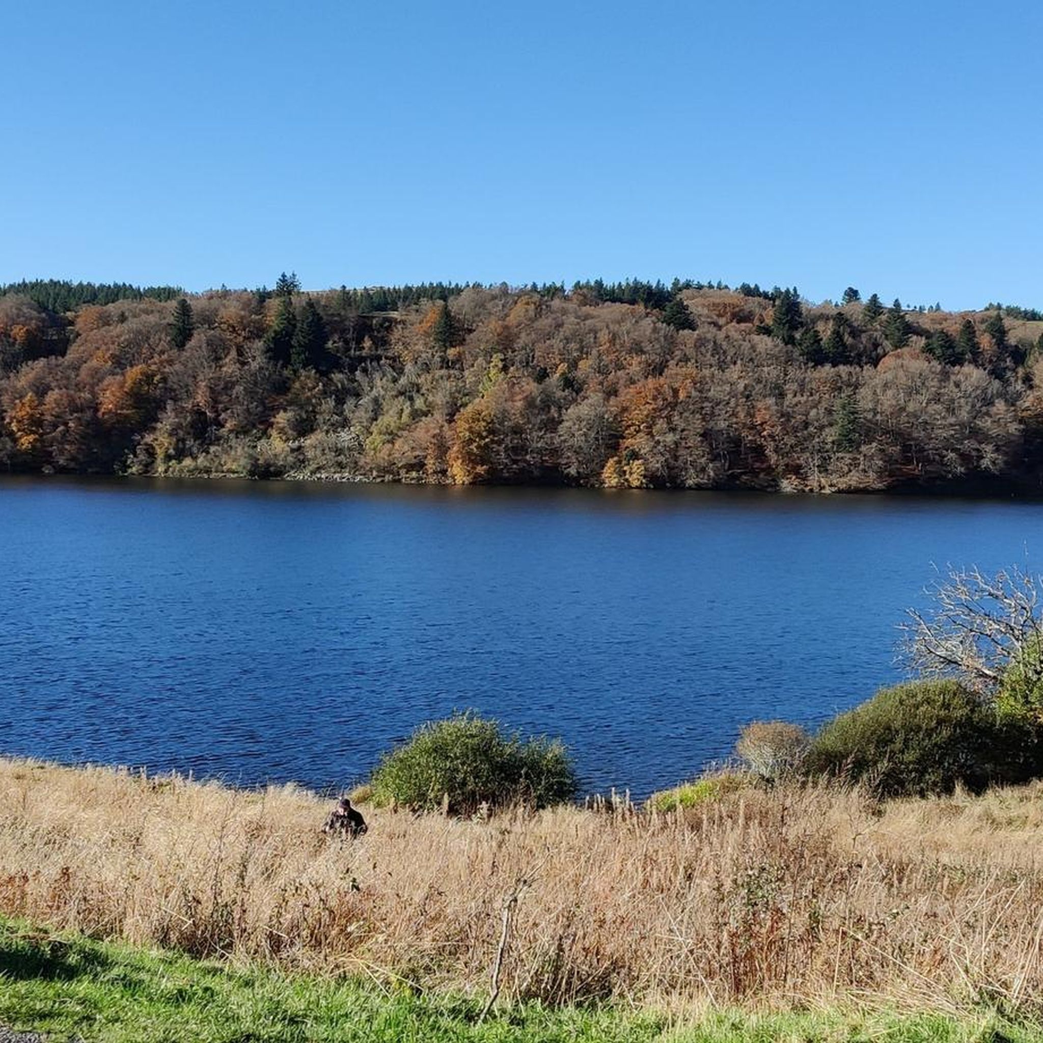
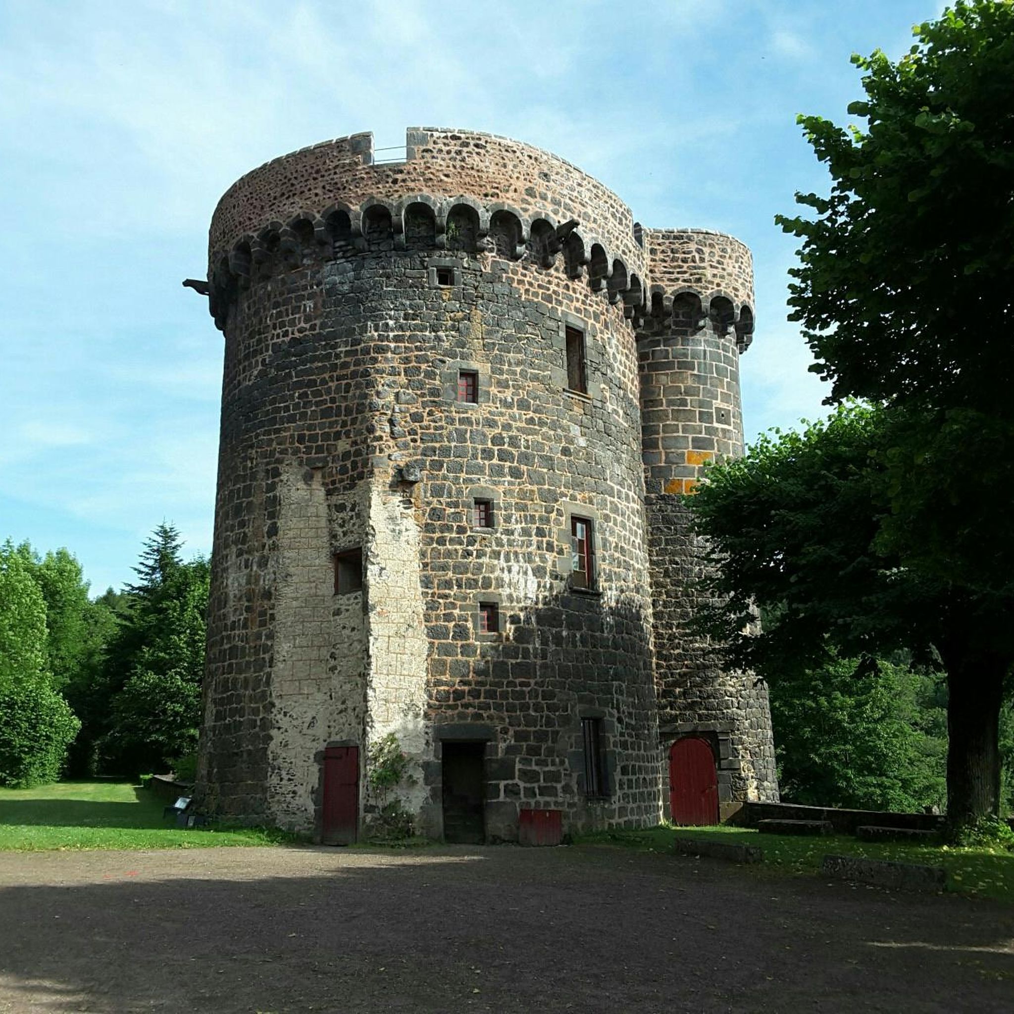
Located on the bed of the Sioule, a tributary of the Allier, the village of Pontgibaud stands out for its many architectural remains in black stone from medieval times. A place where it is interesting to take the time to walk around to discover its historical remains!
0
0
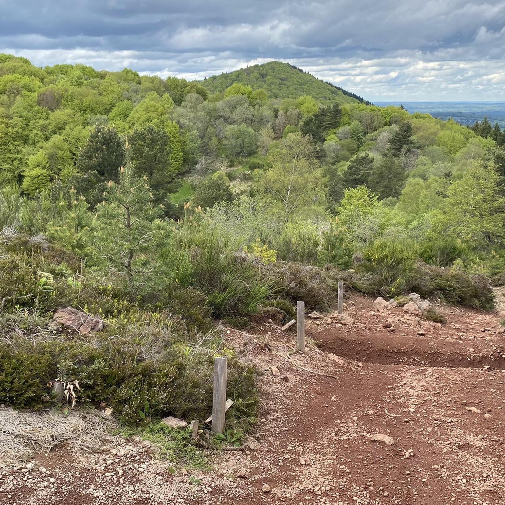
Cheires are ancient lava flows that offer incredible natural phenomena! The ecosystems that have developed there are incredibly rich and offer a corner of paradise for all hikers.
1
0
Frequently Asked Questions
How many running routes are available around Pontgibaud?
There are over 80 running routes around Pontgibaud, offering a wide variety of options for all skill levels. These include easy loops, moderate trails, and more challenging ascents through the volcanic landscape.
What kind of terrain can I expect on running trails near Pontgibaud?
The terrain around Pontgibaud is highly diverse, shaped by its volcanic origins. You can expect to run through distinctive volcanic cones, ancient lava flows like the Cheire de Pontgibaud, and wild forests of birch and hazelnut. Some routes also follow more gentle paths along the Sioule River, offering a mix of surfaces from rough, scoriaceous lava to forest trails.
Are there running routes suitable for beginners in Pontgibaud?
Yes, Pontgibaud offers several easier running routes perfect for beginners or those looking for a less strenuous jog. For example, the Running loop from Saint-Pierre-le-Chastel is a moderate 4.8 km trail that can be completed in about 31 minutes, leading through varied local scenery.
What do other runners say about the trails in Pontgibaud?
The running routes in Pontgibaud are highly rated by the komoot community, with an average score of 4.4 stars from over 25 reviews. Runners often praise the unique volcanic landscapes, the variety of terrain, and the stunning views, especially towards the Puy de Dôme.
Are there challenging running trails for experienced runners in the Pontgibaud area?
Absolutely. For experienced runners seeking a challenge, Pontgibaud offers 22 difficult routes. A notable option is the View of Puy de Dôme loop from Saint-Ours, a 13.1 km trail with significant elevation gain, providing a demanding workout and rewarding views of the iconic Puy de Dôme.
Can I find circular running routes around Pontgibaud?
Yes, many of the running routes around Pontgibaud are circular, allowing you to start and finish at the same point. This is convenient for exploring the diverse landscapes without needing to retrace your steps. For instance, the Château de Bonnabaud loop from Mazayes is a moderate 7.2 km circular route.
What natural landmarks or viewpoints can I see while jogging near Pontgibaud?
While jogging near Pontgibaud, you can encounter several impressive natural landmarks and viewpoints. The region is part of the Chaîne des Puys, a UNESCO World Heritage site. You might catch glimpses of the Puy de Dôme Summit, explore the unique lava flow of the Cheire de Pontgibaud, or even see the Puy Pariou summit and crater. The Puy Pariou Staircase is also a notable feature on some trails.
Are there any historical attractions or points of interest along the running routes?
Yes, the Pontgibaud area blends natural beauty with rich history. You can find historical sites like the Château Dauphin, a classified Historic Monument, which adds a cultural dimension to your run. The Chartreuse Port-Sainte-Marie, a medieval Carthusian monastery, is another serene point of interest located in a protected natural setting along the Sioule River.
Are there family-friendly running paths in Pontgibaud?
While specific 'family-friendly' designations aren't always explicit, many of the easier and moderate circular routes, particularly those under 5 km with minimal elevation, are suitable for families. These paths often provide a great way to enjoy the natural surroundings together. Always check the route details for distance and elevation to ensure it matches your family's capabilities.
Is it possible to jog with dogs on the trails around Pontgibaud?
Generally, dogs are welcome on many outdoor trails in France, especially in natural areas like those around Pontgibaud. However, it's always advisable to keep your dog on a leash, especially in protected natural sites or areas with livestock, and to clean up after them. Specific rules may apply in certain areas, so look for local signage.
What is the best time of year for running in Pontgibaud?
The best time for running in Pontgibaud is typically from spring to autumn (April to October), when the weather is milder and the volcanic landscapes are vibrant. Summer offers long daylight hours, but can be warm, while spring and autumn provide cooler temperatures and beautiful scenery. Winter running is possible, but some higher elevation trails might be affected by snow or ice, requiring appropriate gear.
Are there options for parking near the running trailheads in Pontgibaud?
Yes, many running routes around Pontgibaud, especially those starting from villages or popular natural sites, offer designated parking areas. For example, routes starting from Saint-Pierre-le-Chastel or Saint-Ours typically have accessible parking. It's always recommended to check the specific route details on komoot for parking information before you head out.
Where can I learn more about the unique Cheire de Pontgibaud lava flow?
The Cheire de Pontgibaud is a remarkable natural feature, one of the most beautiful lava flows in the Chaîne des Puys. You can explore its mysterious landscapes, characterized by a rough, fertile surface and wild forests. For more detailed information about this unique geological site, you can visit the Combrailles Auvergne Tourisme website: combrailles-auvergne-tourisme.fr.
Most popular routes around Pontgibaud
Most popular attractions around Pontgibaud

Get inspired with the komoot mobile app


Explore more
Browse the best Running Trails & Routes in other regions.
