The best walks and hikes around Sauliac-Sur-Célé
4.6
(1394)
7,777
hikers
14
hikes
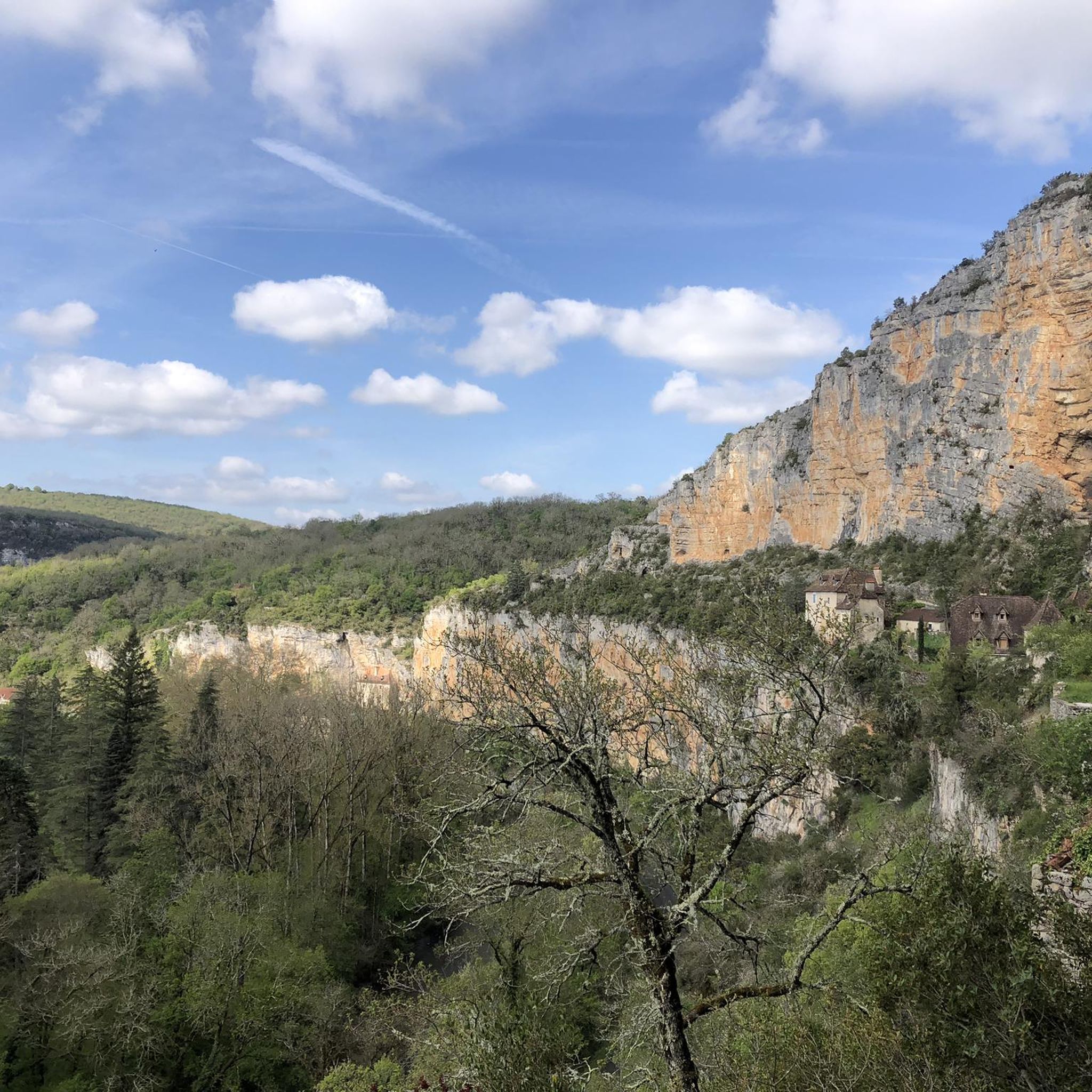
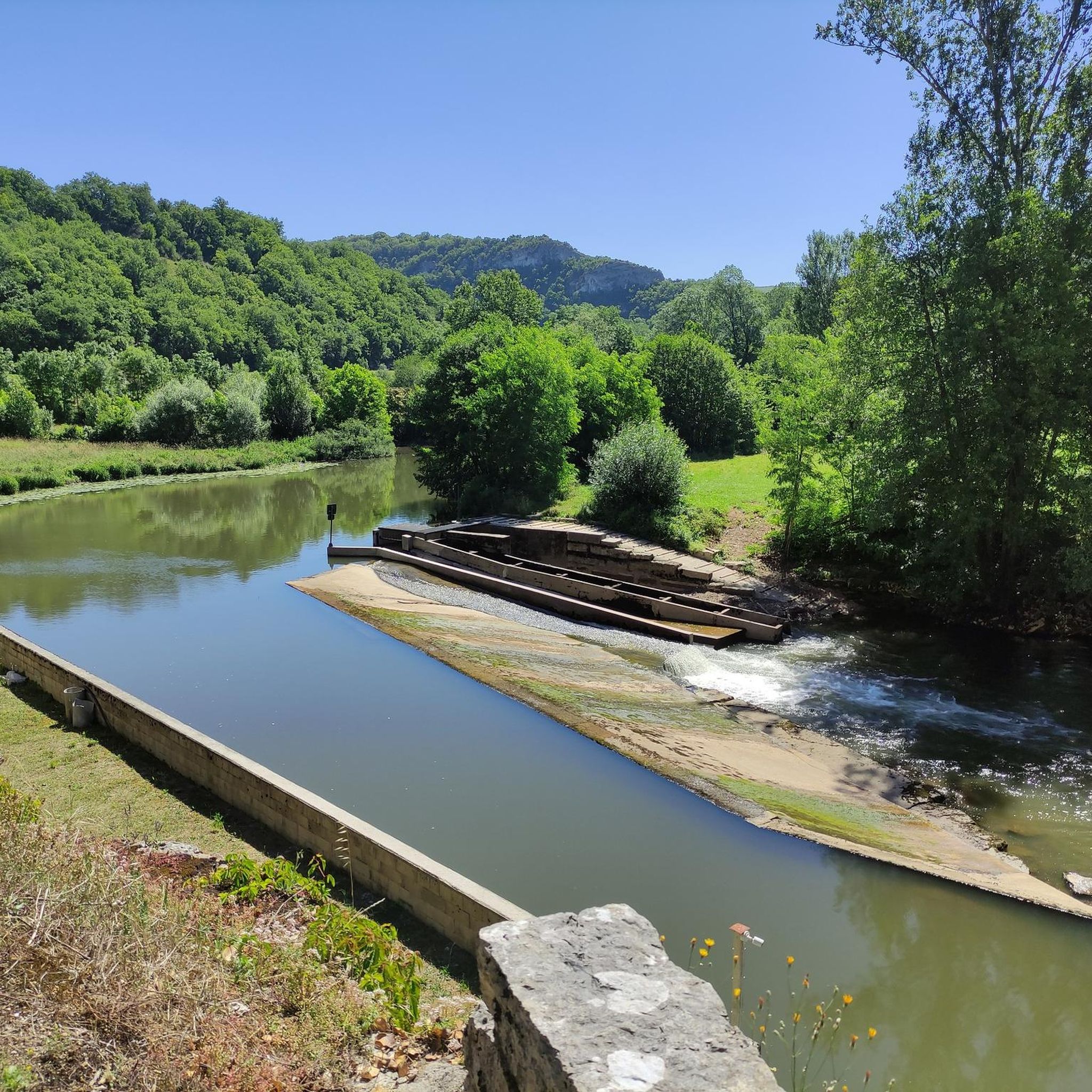
Hiking around Sauliac-Sur-Célé offers diverse trails within the dramatic Célé Valley, characterized by imposing limestone cliffs and the meandering Célé River. The landscape features typical Causses du Quercy vegetation, including dry-stone walls, ancient caselles, and semi-troglodytic houses built into the rock face. This region provides a variety of natural environments, from rocky habitats to aquatic ecosystems, suitable for different hiking experiences.
Best hiking trails around Sauliac-Sur-Célé
- The most popular hiking route is Sauliac-sur-Célé – Gravel path to Vieux Sauliac loop…
Last updated: October 26, 2026
4.8
(18)
104
hikers
Easy hike. Easily walkable paths.
4.8
(13)
114
hikers
22.5km
06:45
640m
640m
Hard hike. Very good fitness required. Mostly walkable paths. Sure-footedness required.

5.0
(5)
56
hikers
Hard hike. Very good fitness required. Easily walkable paths.
4.8
(8)
31
hikers
14.3km
04:07
360m
360m
Moderate hike. Good fitness required. Easily walkable paths.
4.5
(4)
36
hikers
15.5km
04:36
460m
450m
Moderate hike. Good fitness required. Easily walkable paths.
Get access to more routes and recommendations from other explorers.
Already have an account?
Our route recommendations are based on thousands of hikes, rides, and runs completed by other people on komoot.
Start today with a free account
Your next adventure awaits.

Tips from the Community

One of the most beautiful villages in France, full of charm! Very steep too, so it's better to visit it on foot, but it's worth wandering through the narrow streets, with your bike in hand if necessary.
0
0
Magnificent village! Especially the ruined abbey, a place full of history which, at least out of season, is a peaceful and quiet place where it is good to recharge your batteries!
0
0

The magnificent corniche road overlooking the meanders of the river is located at the level of the spectacular Lot valley, particularly on the heights of the limestone plateaus and cliffs. In Saint-Cirq-Lapopie: The Lapopie rock and the Bancourel dovecote offer a spectacular 360-degree plunging view over the river.
0
0
La Maison André Breton (historically known as Auberge des Mariniers) is the oldest inhabited building in the medieval village of Saint-Cirq-Lapopie in the Lot. Purchased in 1951 by the poet and theorist of surrealism André Breton, it was his summer refuge until his death in 1966 and the gathering place for many major artists of the time (such as Max Ernst, Man Ray or Joan Miró).
0
0
In the Middle Ages, the village was a major stronghold in the Quercy region. The site was shared between three major feudal dynasties (the Lapopie, the Gourdon, and the Cardaillac), each of whom owned their own castle at the top of the rock. The name comes from Saint Cyr (a young Christian martyr from the 4th century) and the feudal family of Lapopie, who gave their name to the steep rock (la popa meaning "the breast" in Occitan, evoking the shape of the cliff).
0
0
The Ganil towpath: Carved directly into the limestone cliff rock in 1845, it once allowed horses to tow barges up the Lot river. Between 1985 and 1989, the artist Daniel Monnier sculpted an impressive bas-relief there, depicting local fauna and flora. The path connects Bouziès to Saint-Cirq-Lapopie over approximately 4 to 5 km of easy walking.
0
0
The Ganil towpath: Carved into the limestone cliff face in 1845, it once allowed horses to tow barges up the Lot. Between 1985 and 1989, artist Daniel Monnier sculpted an impressive bas-relief here depicting local fauna and flora. The path connects Bouziès to Saint-Cirq-Lapopie over about 4 to 5 km of easy walking.
0
0

A must-see. On the other hand, very crowded
0
0
Frequently Asked Questions
What kind of landscapes and natural features can I expect to see while hiking in the Célé Valley?
The Célé Valley offers a dramatic and intimate environment, characterized by imposing limestone cliffs and the clear, meandering Célé River. You'll traverse typical Causses du Quercy vegetation, encountering ancient dry-stone walls, traditional stone huts known as caselles, and dolmens. The region is also notable for its semi-troglodytic houses built into the cliffs, and the lower Célé valley holds Natura 2000 status for its diverse ecosystems.
What are the different difficulty levels for hiking trails in Sauliac-sur-Célé?
Sauliac-sur-Célé offers a range of hiking difficulties. There are 3 easy routes, 7 moderate routes, and 4 difficult routes available. This variety ensures options for different fitness levels, from leisurely strolls to more challenging treks.
Are there any historical landmarks or notable viewpoints along the trails?
Yes, the region is rich in historical landmarks and offers breathtaking viewpoints. You can explore the historic village of Sauliac-sur-Célé itself, with its houses clinging to the rock face. Trails also lead to the impressive Château des Anglais (English Castle) of Bouziès, which clings to the cliffside. Many routes provide panoramic views of the Célé Valley, such as from St-Cirq-Lapopie Heights or the View of the Célé Valley.
What do other hikers enjoy most about hiking in Sauliac-sur-Célé?
The hiking routes in Sauliac-sur-Célé are highly rated by the komoot community, with an average score of 4.6 stars from over 1,300 reviews. Hikers often praise the dramatic limestone cliffs, the serene Célé River, and the unique dry-stone structures like caselles that dot the landscape. The variety of terrain and the well-maintained paths are also frequently highlighted.
Are there any family-friendly hiking options in Sauliac-sur-Célé?
Yes, there are several options suitable for families. An easy 4.2 km loop, Sauliac-sur-Célé – Gravel path to Vieux Sauliac loop from Sauliac-sur-Célé, specifically takes visitors through the old historic village and offers splendid views of Vieux Sauliac and the Célé meander, making it a great choice for a family outing.
Can I find circular hiking trails in the Sauliac-sur-Célé area?
Yes, many of the trails in the region are circular, allowing you to start and end in the same location. For example, the popular Sauliac-sur-Célé – Gravel path to Vieux Sauliac loop from Sauliac-sur-Célé is a loop route. Another moderate option is the Gravel path to Vieux Sauliac – Old Sauliac loop from Sauliac-sur-Célé, which is a 14.6 km loop through the Célé Valley.
Are there opportunities for wild swimming or cooling off after a hike?
Yes, the Célé River itself provides opportunities for swimming in its translucent waters. You can find pebble and grassy beaches near villages like Espagnac-Sainte-Eulalie, which are perfect for cooling off after a hike. For more information on bathing spots, you can visit tourisme-figeac.com.
What other villages or sites can I explore near Sauliac-sur-Célé while hiking?
The hiking network extends to connect with other picturesque villages in the Célé Valley. You can reach Cabrerets, known for the famous Pech Merle cave, or Marcilhac-sur-Célé, organized around its ancient fortified Benedictine abbey. Espagnac-Sainte-Eulalie, home to an ancient priory, is also accessible. A challenging 21.1 km route, Gravel path to Vieux Sauliac – Marcilhac-sur-Célé loop from Sauliac-sur-Célé, connects Sauliac-sur-Célé with Marcilhac-sur-Célé.
What is the best time of year to go hiking in Sauliac-sur-Célé?
The Célé Valley is beautiful throughout much of the year. Spring and autumn generally offer pleasant temperatures for hiking, with vibrant flora in spring and rich colors in autumn. Summer can be warm, but the Célé River provides opportunities for cooling off. It's always advisable to check local weather conditions before heading out.
Are there any trails that follow the GR651 (Ledge Path) in the area?
Yes, part of the famous GR651, also known as the Ledge Path and part of the Camino de Santiago, runs through the Célé Valley. This path offers remarkable views and is integrated into some of the longer routes in the region, providing a unique hiking experience along the valley's edge.
Where can I find information about other hiking routes in the wider Figeac area?
For a broader selection of walks and hikes in the Figeac area, which includes the Célé Valley, you can consult the local tourism website. Visit tourisme-figeac.com for additional inspiration and details on routes beyond Sauliac-sur-Célé.
Most popular routes around Sauliac-Sur-Célé
Most popular attractions around Sauliac-Sur-Célé

Get inspired with the komoot mobile app


Explore more
Browse the best Hikes in other regions.
