The best MTB trails around Marcilhac-Sur-Célé
4.4
(164)
836
riders
89
rides
Mountain biking around Marcilhac-Sur-Célé features routes that traverse the varied terrain of the Célé and Lot river valleys. The landscape is characterized by limestone cliffs, dense woodlands, and scenic plateaus, offering diverse riding experiences. Trails often follow ancient paths and towpaths, providing a mix of technical sections and flowing singletrack. This region provides a natural setting for mountain biking, with elevation changes typical of river valley systems.
Best mountain bike trails around Marcilhac-Sur-Célé
- The most popular mountain bike trail is…
Last updated: October 25, 2026
4.8
(4)
16
riders
46.6km
04:22
1,220m
1,220m
Hard mountain bike ride. Very good fitness required. Advanced riding skills necessary.
24
riders
41.7km
04:02
940m
940m
Hard mountain bike ride. Very good fitness required.

5.0
(4)
39
riders
50.9km
04:51
1,140m
1,140m
Hard mountain bike ride. Very good fitness required. Advanced riding skills necessary.
14
riders
53.3km
05:19
1,310m
1,310m
Hard mountain bike ride. Very good fitness required.
12
riders
96.1km
09:13
2,340m
2,340m
Hard mountain bike ride. Very good fitness required. Advanced riding skills necessary. Some portions of the route may require you to push your bike.
Get access to more routes and recommendations from other explorers.
Already have an account?
Our route recommendations are based on thousands of hikes, rides, and runs completed by other people on komoot.
Start today with a free account
Your next adventure awaits.




Other adventures around Marcilhac-Sur-Célé

Tips from the Community

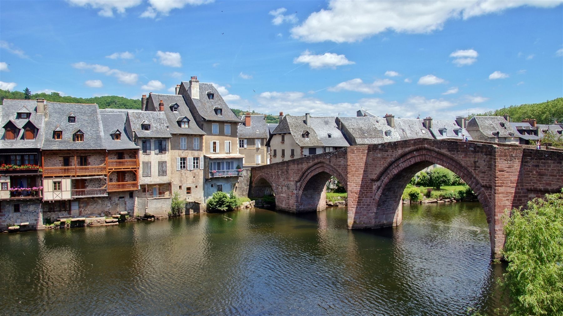
Magnificent village! Especially the ruined abbey, a place full of history which, at least out of season, is a peaceful and quiet place where it is good to recharge your batteries!
0
0

The spectacular silhouette of the Château de Larroque-Toirac is the soul of the village. A bastion of the Hundred Years' War: Built between the 12th and 15th centuries, this listed historic monument has retained its entire original defensive system despite repeated assaults by the English. A living dwelling: Unlike many medieval ruins, the castle has the distinction of always having been inhabited. Its guided tour allows you to discover an intact period kitchen, magnificent 15th-century fireplaces, and superb 16th-century polychrome frescoes. Prehistoric origins: Just behind the building, the cliff face houses troglodytic caves that already served as shelters for humans from the Neolithic period.
0
0
Medieval village perched on a rocky outcrop overlooking the Lot valley, facing the cliffs of Saut de la Mounine, known for the ruins of its 13th-century castle.
0
0
Medieval village perched on a rocky outcrop overlooking the Lot valley, facing the cliffs of Saut de la Mounine, known for the ruins of its 13th-century castle.
0
0
In the heart of the Causses du Quercy Regional Natural Park. Located at the confluence of the Lot and Célé valleys, the village of Bouziès, with around 90 inhabitants, is world-renowned for its spectacular natural and historical heritage. The Château des Anglais: Fortifications from the 11th and 12th centuries anchored directly into the vertical cliff face overlooking the road and the river. This site once served as a fortified refuge for the inhabitants during conflicts.
0
0
In the heart of the Causses du Quercy Regional Natural Park. Located at the confluence of the Lot and Célé valleys, the village of Bouziès, with around 90 inhabitants, is world-renowned for its spectacular natural and historical heritage. The Château des Anglais: Fortifications from the 11th and 12th centuries anchored directly into the vertical cliff face overlooking the road and the river. This site once served as a fortified refuge for the inhabitants during conflicts.
0
0

Pleasant walking spot, although touristy
0
0

Snack bar, ice cream and refuge for pilgrims
0
0
Frequently Asked Questions
How many mountain bike trails are available around Marcilhac-Sur-Célé?
There are over 80 mountain bike trails around Marcilhac-Sur-Célé, offering a wide range of options for different skill levels and preferences. The region's diverse terrain, characterized by river valleys, limestone cliffs, and forested plateaus, provides varied riding experiences.
What is the general difficulty level of mountain bike trails in Marcilhac-Sur-Célé?
The trails around Marcilhac-Sur-Célé cater to a range of abilities, with the majority being moderate to difficult. Specifically, there are 6 easy routes, 48 moderate routes, and 33 difficult routes. This variety ensures that both experienced riders and those looking for a challenge can find suitable options.
Are there any family-friendly mountain bike routes in the area?
While many routes in Marcilhac-Sur-Célé feature moderate to difficult terrain, there are 6 easy routes available that could be suitable for families or beginners. These trails typically offer less challenging gradients and smoother surfaces, allowing for a more relaxed riding experience.
What kind of terrain can I expect on mountain bike trails around Marcilhac-Sur-Célé?
You can expect a varied landscape, including trails that traverse the Célé and Lot river valleys. The terrain often features limestone cliffs, dense woodlands, and scenic plateaus. Many routes follow ancient paths and towpaths, providing a mix of technical sections and flowing singletrack with elevation changes typical of river valley systems.
Are there any circular mountain bike routes in Marcilhac-Sur-Célé?
Yes, many of the mountain bike routes around Marcilhac-Sur-Célé are designed as loops. For example, the Saint-Cirq-Lapopie – St-Cirq-Lapopie Heights loop from Larnagol is a moderate 28.8 km circular route. Another option is the Brengues – Espagnac Sainte-Eulalie loop from Brengues, a moderate 42.1 km trail.
What are some scenic viewpoints or attractions along the mountain bike trails?
The region offers several scenic spots and attractions. You might encounter the Cliffs Along the Lot River, offering extensive views, or the View of the Célé Valley. Historic sites like Saint-Cirq-Lapopie and the English Castle of Bouziès are also accessible near some routes.
What is the best season for mountain biking in Marcilhac-Sur-Célé?
The spring and autumn months generally offer the most pleasant conditions for mountain biking in Marcilhac-Sur-Célé, with milder temperatures and less crowded trails. Summer can be warm, especially in the river valleys, so early morning or late afternoon rides are often preferred. Winters are typically cool and can be wet, but some trails remain rideable.
Can I download GPX tracks for the mountain bike routes?
Yes, all routes on komoot, including those around Marcilhac-Sur-Célé, provide GPX tracks for download. Once you've selected a tour, you can easily export the GPX file to use with your GPS device or other navigation apps, ensuring you stay on track during your ride.
What do other mountain bikers say about the trails in Marcilhac-Sur-Célé?
The mountain bike trails around Marcilhac-Sur-Célé are highly rated by the komoot community, with an average score of 4.5 stars from over 100 reviews. Riders often praise the varied terrain, the stunning views along the river valleys, and the mix of challenging sections and flowing singletrack that make for an engaging experience.
Are there any challenging mountain bike trails for advanced riders?
Absolutely. Marcilhac-Sur-Célé offers 33 difficult mountain bike routes for advanced riders. The Chemin des Cazelles – Cliff habitat loop from Brengues, for instance, is a difficult 41.2 km path that explores unique cliff habitats and presents challenging terrain. Another demanding option is the Ganil towpath – St-Cirq-Lapopie Heights loop from Larnagol, a 43.7 km trail with significant elevation changes.
What should I wear for mountain biking in this region?
Given the varied terrain and potential for technical sections, it's advisable to wear appropriate mountain biking gear. This includes a helmet, gloves, padded shorts, and sturdy cycling shoes. Layered clothing is recommended to adapt to changing weather conditions, especially during spring and autumn. Always carry water and basic repair tools.
Are there any trails that follow the river?
Yes, many trails in the region utilize the natural landscape of the Célé and Lot river valleys. The Ganil towpath – St-Cirq-Lapopie Heights loop from Larnagol is a prime example, leading through river towpaths and offering elevated viewpoints of the Lot River. These routes often provide a mix of flat, scenic sections and climbs to viewpoints.
Most popular routes around Marcilhac-Sur-Célé
Most popular attractions around Marcilhac-Sur-Célé

Get inspired with the komoot mobile app


Explore more
Browse the best MTB trails in other regions.
