The best road cycling routes around Bart
4.5
(232)
4,614
riders
36
rides
Road cycling routes around Bart offer a diverse range of terrain, from flat, scenic paths to challenging, hilly climbs. The region features a mix of paved pathways and steeper ascents, providing varied experiences for cyclists. Physical features include river valleys, agricultural landscapes, and forested areas, with routes often following waterways and passing through small towns. The elevation changes can range from gentle gradients to significant climbs, catering to different fitness levels.
Best road cycling routes around Bart
- The most popular…
Last updated: June 25, 2026
5.0
(1)
45
riders
58.4km
03:06
880m
880m
Moderate road ride. Good fitness required. Some segments of this route may be unpaved and difficult to ride.
4.8
(5)
96
riders
Moderate road ride. Good fitness required. Mostly well-paved surfaces and easy to ride.

Sign up for free
27
riders
Moderate road ride. Good fitness required. Some segments of this route may be unpaved and difficult to ride.
15
riders
43.9km
02:27
740m
740m
Moderate road ride. Good fitness required. Some segments of this route may be unpaved and difficult to ride.
12
riders
63.7km
02:47
520m
520m
Moderate road ride. Good fitness required. Mostly well-paved surfaces and easy to ride.
Get access to more routes and recommendations from other explorers.
Sign up for free
Already have an account?
Our route recommendations are based on thousands of hikes, rides, and runs completed by other people on komoot.
Start today with a free account
Your next adventure awaits.
Login or Signup


Tips from the Community

Loop Loop completed with our travel gravel bikes, on one day without luggage. A quick stop in Delle for a very good kebab.
0
0

The town of Montbéliard was part of Württemberg for 400 years and was called “Mömpelgard”.
3
0

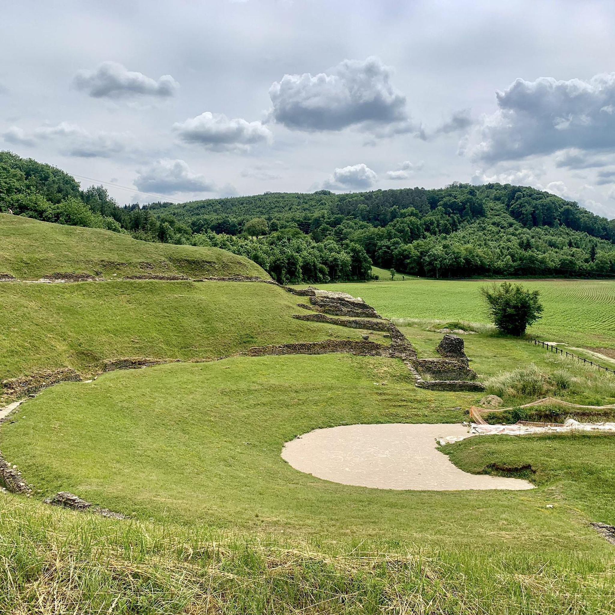
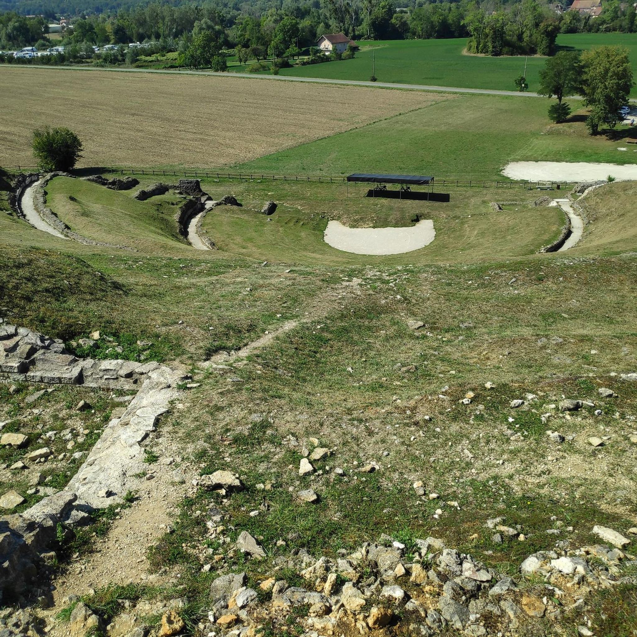
A change of direction to Mandeure is worthwhile, as the Roman amphitheater is located right at the town entrance on the right—freely accessible!
0
0


These 🚤⛵️🛥 are the welcome change on the EV6
2
0


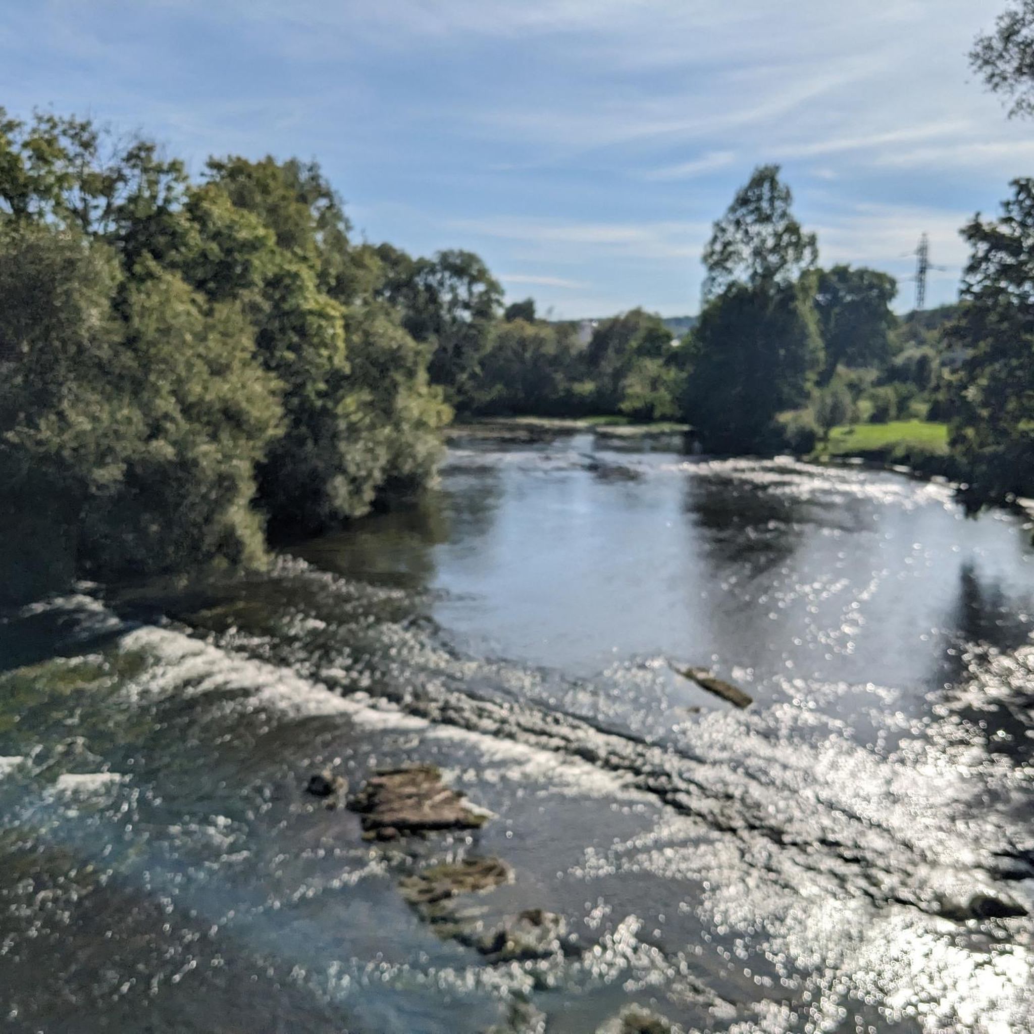
I noticed this highlight during my search. However, it is not on the Haute Saône Canal but on an independent river, the Savoureuse. According to Wikipedia: The Savoureuse is a right tributary of the Allan, around 41 kilometers long, in the French department of Territoire de Belfort in the Bourgogne-Franche-Comté region. It flows through the city of Belfort and drains the western part of the department to the Mediterranean via the Allan, Doubs, Saône and Rhône water system. The Savoureuse catchment area covers an area of around 225 km². The river name comes from the Patois expression savour (saw). https://de.m.wikipedia.org/wiki/Savoureuse
2
0

Beautiful scenery and nice cycle path.
0
0
Frequently Asked Questions
How many road cycling routes are available around Bart?
There are over 35 road cycling routes around Bart, offering a diverse range of experiences. These include 3 easy routes, 23 moderate routes, and 9 difficult routes, catering to various skill levels.
What kind of terrain can I expect on road cycling routes near Bart?
The Bart region offers a wide spectrum of road cycling terrain, from flat, scenic paths along river valleys and agricultural plains to challenging, hilly climbs through forested areas. You'll find a mix of paved pathways and steeper ascents, with routes often following waterways and passing through small towns. The elevation changes can range from gentle gradients to significant climbs, providing varied experiences.
What is the best time of year for road cycling around Bart?
The 'Bart Springtime,' typically from March to May, is an ideal period for road cycling. During this time, the weather is mild and sunny, and you can enjoy abundant wildflowers, making for a particularly scenic ride.
Are there road cycling routes suitable for beginners or families near Bart?
Yes, there are several options for easier rides. The region offers 3 routes classified as easy. For a leisurely experience, consider the Le Doubs – L'Isle-sur-le-Doubs loop from Voujeaucourt, which follows the Doubs river. Additionally, the Bay Area's Bay Trail from Emeryville to Richmond offers mostly dedicated, flat pathways with scenic views, and the Lakeside Nature Trail at Lafayette Reservoir provides a relaxed option.
Where can I find challenging road cycling routes around Bart?
For experienced cyclists seeking a challenge, Bart offers 9 difficult routes. Notable climbs in the broader Bay Area include Mount Diablo, Bear Creek Road (known as 'The Three Bears'), Palomares Road, Calaveras Road, and Mines Road. The Colombier-Fontaine Church loop from Voujeaucourt also features significant elevation gain, leading through rural landscapes.
Are there scenic road cycling routes with viewpoints around Bart?
Absolutely. Many routes offer stunning views. The Bay Trails provide scenic vistas of San Francisco and the Golden Gate. Wildcat Canyon Regional Park offers stunning views of grassy, oak- and laurel-dotted hills. For panoramic views, the summit of Mount Diablo is a significant challenge. The Château Georges Peugeot – Brunnen 🥵 loop from Voujeaucourt also features varied terrain with scenic sections.
Can I find loop trails for road cycling near Bart?
Yes, many road cycling routes around Bart are designed as loops. For example, the Saint-Hippolyte – Saint-Hippolyte village loop from Voujeaucourt is a popular option. In the wider Bay Area, Lake Chabot Regional Park offers a 9-mile loop for hikers and a 15-mile loop for mountain bikers, which can be adapted for road cycling on paved sections.
What attractions or landmarks can I see along road cycling routes near Bart?
While cycling around Bart, you can encounter various points of interest. Along the Montbéliard–Haute-Saône Canal, you might pass the Montbéliard–Haute-Saône Canal beside the Allan or the Étupes Lock on the EV6. The Chemin de Halage Allenjoie, EV6 is a dedicated cycle path. Further afield, the Bay Area offers landmarks like the Golden Gate Bridge, Coit Tower, Pier 39, and Ghirardelli Square, accessible via cycling routes from BART stations.
How does BART help with accessing road cycling routes?
BART significantly enhances access to road cycling routes across the Bay Area. It actively promotes 'BART-bike adventures,' allowing you to combine public transit with cycling. BART has improved bike areas in train cars and bike stair channels at stations, making it convenient to bring your bicycle. Many routes are specifically designed to start and end at BART stations, offering easy access to diverse landscapes.
Are there any specific regional parks accessible for road cycling via BART?
Yes, several regional parks are easily accessible. Coyote Hills Regional Park is reachable from Fremont BART, and Lafayette Reservoir is near the Lafayette BART station. Wildcat Canyon Regional Park and Lake Chabot Regional Park also offer extensive trail networks that can be incorporated into road cycling plans, often with paved sections suitable for road bikes.
What do other road cyclists enjoy the most about road cycling in Bart?
The area is highly rated by the komoot community, with an average score of 5.0 stars from over 8 reviews. Reviewers often praise the region's varied terrain, which offers options for different ability levels, from scenic river valleys to challenging forested hills. The well-maintained paths and the opportunity to explore charming small towns are also frequently highlighted.
Can I find routes that combine urban exploration with natural scenery?
Yes, the Bay Area's unique geography allows for this. You can cycle from Embarcadero BART to the Golden Gate Bridge, passing urban landmarks like Coit Tower and Pier 39, then transition to more natural, scenic routes along the waterfront. The Ohlone Greenway, often called the 'BART Path,' runs under BART tracks and connects parks and recreation areas in Berkeley and El Cerrito, blending urban convenience with green spaces.
Most popular attractions around Bart

Get inspired with the komoot mobile app


Explore more
Browse the best Road cycling routes in other regions.
