The best walks and hikes around Oulches
4.3
(82)
247
hikers
22
hikes
Hiking around Oulches offers diverse landscapes, characterized by the tranquil environment of the Creuse River valley and its proximity to the Parc naturel régional de la Brenne. The region features a network of well-maintained trails that traverse varied terrain, including riverbanks, ponds, and former railway lines. These paths provide opportunities to explore both natural features and historical attractions.
Best hiking trails around Oulches
- The most popular hiking route is Along the Creuse from Rivarennes, a 4.2 miles (6.8 km)…
Last updated: July 5, 2026
3.8
(6)
20
hikers
6.83km
01:48
60m
60m
The Rivarennes loop is a moderate 4.2-mile (6.8 km) hike offering views of Château de la Tour and diverse terrain.
3.8
(6)
15
hikers
8.64km
02:15
60m
60m
Moderate hike. Good fitness required. Easily-accessible paths. Suitable for all skill levels.

Sign up for free
4.7
(12)
28
hikers
10.9km
02:48
40m
40m
Moderate hike. Good fitness required. Easily-accessible paths. Suitable for all skill levels.
4.3
(10)
25
hikers
7.36km
01:55
50m
50m
Easy hike. Great for any fitness level. Easily-accessible paths. Suitable for all skill levels.
4.7
(12)
23
hikers
10.9km
02:47
40m
40m
Moderate hike. Good fitness required. Easily-accessible paths. Suitable for all skill levels.
Get access to more routes and recommendations from other explorers.
Sign up for free
Already have an account?
Our route recommendations are based on thousands of hikes, rides, and runs completed by other people on komoot.
Start today with a free account
Your next adventure awaits.
Login or Signup

Tips from the Community

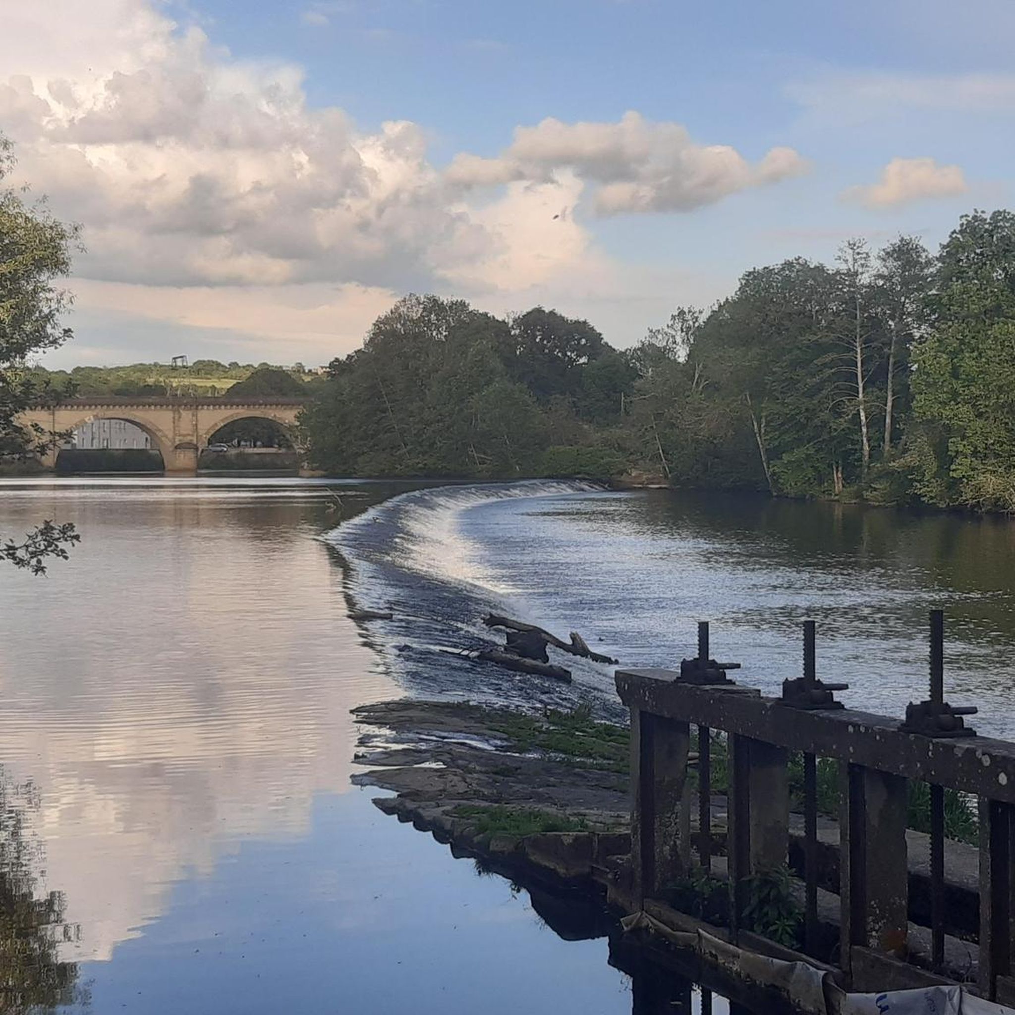
Château de la Tour is a true gem. From the bridge over the Creuse River, you have a beautiful view of the water and, of course, the château.
3
0
We deviated slightly from the route and paused at the "plage/beach" with picnic tables and benches and a beautiful view of the Château. Highly recommended!
3
0

This 12th century Romanesque building housed a lamp that shone in honor of the dead buried in the nearby cemetery. Previously, lamps were placed in the center of cemeteries.
3
0
The castle was built between 1180 and 1190 and restored between 1872 and 1877. The building was remodeled in 1921. Built in a square, this castle shows its military origins. It has known many owners over the centuries and many renovations.
3
0
Enjoy the feeling of being enveloped by this small wooded trail.
2
0
Hidden out of the way, this is the best place to take a peek at the Château de la Tour.
2
0
Frequently Asked Questions
How many hiking trails are available around Oulches?
There are over 20 hiking trails around Oulches, offering a variety of experiences. These include 8 easy routes and 14 moderate routes, ensuring options for different fitness levels.
What kind of terrain can I expect on hikes in Oulches?
Hiking in Oulches features diverse terrain, from the tranquil banks of the Creuse River to the numerous ponds within the Parc naturel régional de la Brenne. You'll also find paths along the accessible "Green Line" (Voie Verte), which is a converted railway line, offering smoother surfaces. Expect a mix of flat sections, gentle inclines, and varied natural habitats.
Are there any family-friendly hiking options in Oulches?
Yes, Oulches offers several easy routes suitable for families. The "Green Line" (Voie Verte) is particularly good for a relaxed outing, as it's a paved path. Many of the trails are well-maintained and pass through scenic areas, making them enjoyable for all ages. Consider routes that explore the edges of ponds or the Creuse River for picturesque and generally less strenuous walks.
Can I bring my dog on the hiking trails in Oulches?
Many of the natural trails around Oulches are suitable for dogs, especially those along the Creuse River and through the countryside. However, it's always recommended to keep your dog on a leash, particularly in areas with wildlife or near agricultural land, and to check local signage for any specific restrictions in certain nature reserves or protected areas within the Parc naturel régional de la Brenne.
Are there any circular hiking routes in Oulches?
Yes, Oulches has several excellent circular routes. For example, the Ciron loop is a moderate 8.6 km path that explores the local area. Another option is the Étang Batardet – Étang Communal loop from Luzeret, which is an 11 km trail leading through diverse watery environments.
What historical landmarks or points of interest can I see while hiking?
Oulches and its surroundings are rich in historical and natural landmarks. You can discover sights like Château de la Rochechevreux, which offers expansive views, or the historical La lanterne des morts at Ciron, which is featured on the Lantern of the Dead loop from Ciron. The region also features charming old railway buildings and scenic Greenway bridges offering panoramic views.
What is the best time of year to go hiking in Oulches?
The spring and autumn months are generally ideal for hiking in Oulches, offering pleasant temperatures and beautiful scenery as nature awakens or changes colors. Summer can also be enjoyable, especially along the riverbanks or in shaded areas, but it's advisable to start early to avoid the midday heat. Winter hiking is possible, but trails might be damp, and some facilities could have reduced hours.
Are there any hikes that offer views of castles or other notable buildings?
Yes, some routes provide views of historical structures. The Along the Creuse from Rivarennes trail, for instance, offers views of the Château de la Tour. Additionally, the Château de la Rochechevreux is perched on a hill, providing a rewarding stop with valley views.
What do other hikers say about the trails in Oulches?
The hiking trails in Oulches are highly regarded by the komoot community, with an average rating of 4.3 out of 5 stars from over 60 reviews. Hikers often praise the diverse landscapes, the tranquility of the Creuse River valley, and the well-maintained paths that make exploring the region enjoyable.
Are there any longer, more challenging hikes available?
While most routes are easy to moderate, some trails offer longer distances for those seeking a more extended walk. For example, the Oulches and surroundings loop from Oulches covers about 9.5 km, providing a good moderate challenge with varied elevation changes. The region's network allows for combining sections to create longer excursions if desired.
Is public transport available to reach hiking trailheads in Oulches?
Information on specific public transport links directly to every trailhead in Oulches is limited. However, the region is accessible, and local bus services might connect to larger towns like Argenton-sur-Creuse, from which some trails, such as those along the "Green Line," can be accessed. For precise planning, it's best to check local transport schedules for the Indre department.
Where can I find parking near the hiking trails?
Many trailheads in and around Oulches, especially in villages like Rivarennes, Ciron, or Luzeret, typically offer designated parking areas. For routes utilizing the "Green Line" (Voie Verte), parking is often available at access points in towns along its length. It's advisable to check specific route details or local village information for the most convenient parking spots.
Most popular attractions around Oulches

Get inspired with the komoot mobile app


Explore more
Browse the best Hikes in other regions.
