
The best running trails around Saint-Michel-De-Bannières
4.3
(52)
623
runners
141
runs
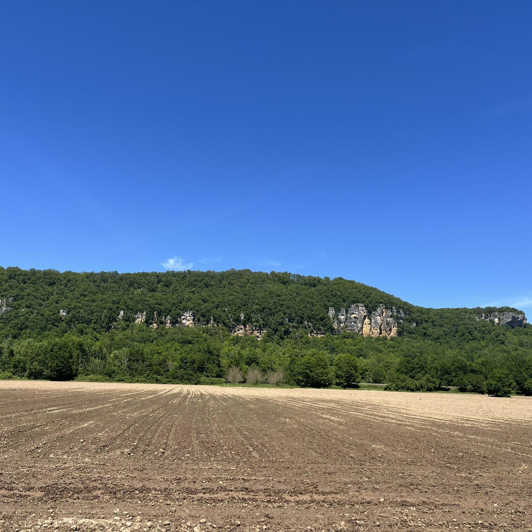
Jogging routes around Saint-Michel-De-Bannières traverse the northern Lot department in France's Occitanie region, offering diverse natural landscapes. The area is situated within the Causse de Martel, a karst plateau between the Limousin region and the Tourmente and Dordogne river valleys. Runners can explore a network of rural paths, open fields, and gentle inclines, with routes often passing through picturesque countryside and wooded areas. The terrain includes both flat sections and moderate elevation changes, suitable for various fitness levels.
Best jogging…
Last updated: June 29, 2026
5
runners
11.4km
01:20
240m
240m
Moderate run. Good fitness required. Mostly paved surfaces. Suitable for all skill levels.
3
runners
11.8km
01:25
270m
270m
Moderate run. Good fitness required. Mostly paved surfaces. Suitable for all skill levels.

Sign up for free
4
runners
12.0km
01:16
130m
130m
Moderate run. Good fitness required. Mostly paved surfaces. Suitable for all skill levels.
4
runners
8.92km
00:59
160m
160m
Moderate run. Good fitness required. Mostly paved surfaces. Suitable for all skill levels.
4.0
(2)
4
runners
7.92km
00:50
80m
80m
Moderate run. Good fitness required. Mostly paved surfaces. Suitable for all skill levels.
Get access to more routes and recommendations from other explorers.
Sign up for free
Already have an account?
Our route recommendations are based on thousands of hikes, rides, and runs completed by other people on komoot.
Start today with a free account
Your next adventure awaits.
Login or Signup
Frequently Asked Questions
How many running routes are available around Saint-Michel-De-Bannières?
There are over 120 dedicated running routes around Saint-Michel-De-Bannières, offering a wide variety of options for all fitness levels. These include 5 easy routes, over 100 moderate paths, and 22 more challenging trails.
What kind of terrain can I expect on the jogging trails in this region?
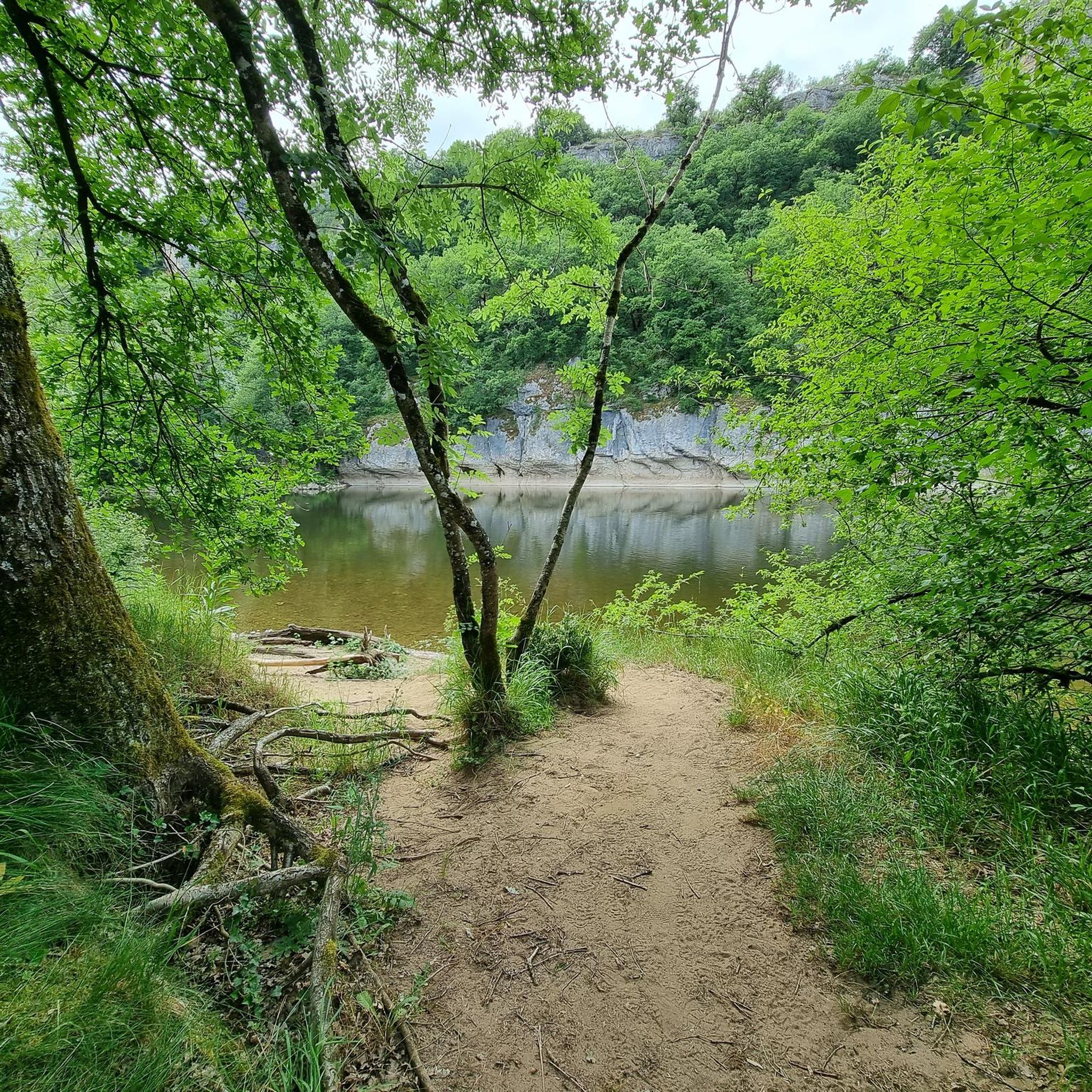
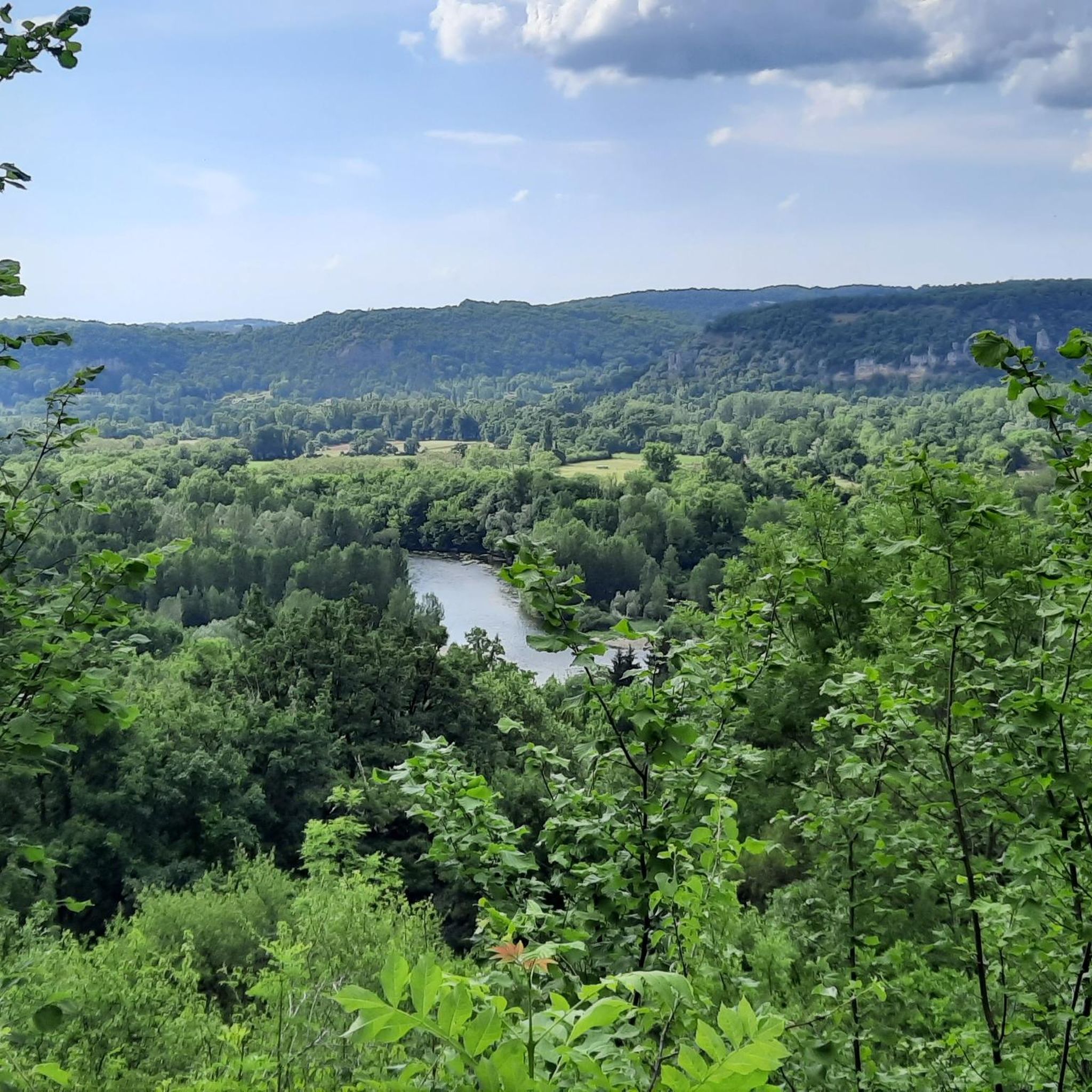
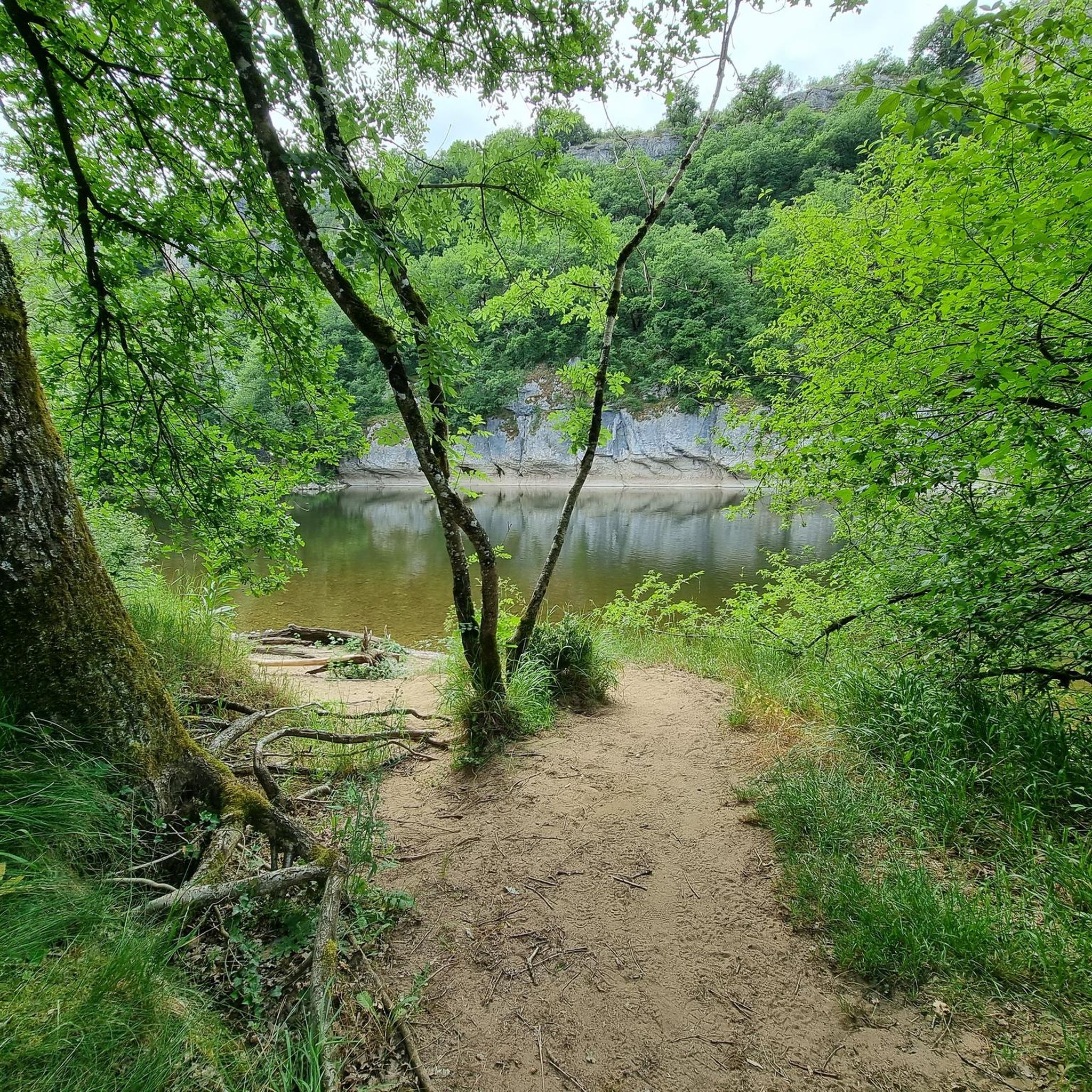
The terrain around Saint-Michel-De-Bannières is quite varied, characterized by the Causse de Martel, a karst plateau. You'll find a mix of rural paths, open fields, gentle inclines, and wooded areas. Routes often pass through picturesque countryside, with some sections running alongside the Tourmente and Dordogne river valleys. Expect both flat stretches and moderate elevation changes.
Are there any easy running routes suitable for beginners or a relaxed jog?
Yes, there are 5 easy running routes available around Saint-Michel-De-Bannières. These paths are generally less demanding, perfect for beginners or those looking for a more relaxed pace through the scenic countryside.
Can I find circular running routes in the Saint-Michel-De-Bannières area?
Absolutely. Many of the running paths in the region are circular, allowing you to start and finish at the same point. For example, the Pech Laprune loop from Strenquels is a popular 11.2 km circular route, and the Running loop from Les Quatre-Routes-du-Lot offers a 7.9 km circular experience.
What do other runners say about the trails in Saint-Michel-De-Bannières?
The running routes in Saint-Michel-De-Bannières are highly rated by the komoot community, with an average score of 4.2 stars from over 40 reviews. Runners often praise the diverse natural landscapes, the tranquility of the wooded paths, and the picturesque countryside views.
Are there any notable landmarks or attractions I can see while running?
Yes, the region is rich in historical and natural sights. While jogging, you might pass by charming villages or historical sites. Nearby attractions include the stunning Collonges-la-Rouge Village, the Historic Village of Carennac, or the Medieval Center of Martel. Some routes may also offer glimpses of impressive castles like Vassinhac Castle.
Are the running routes suitable for families with children?
Many of the easier and moderate routes, particularly those with gentle inclines and through open fields, can be suitable for families. The diverse landscapes and picturesque villages offer an engaging experience. Consider routes like the Uxellodunum loop from Saint-Michel-de-Bannières for a moderate family outing.
Are dogs allowed on the running trails in the Saint-Michel-De-Bannières area?
Generally, dogs are welcome on many of the rural paths and trails in the Lot department, especially if kept on a leash. However, it's always advisable to check local signage or specific route descriptions for any restrictions, particularly in nature reserves or private lands. The varied terrain and wooded areas make for enjoyable runs with your canine companion.
What is the best time of year to go jogging in Saint-Michel-De-Bannières?
The region offers pleasant conditions for jogging for much of the year. Spring and autumn provide mild temperatures and beautiful scenery with blooming flowers or vibrant fall foliage. Summer mornings and evenings are also ideal to avoid the midday heat. Winters can be cooler but still offer crisp, refreshing runs, especially on less exposed paths.
Are there any routes that pass by rivers or offer water views?
Yes, the region is known for the valleys of the Tourmente and Dordogne rivers. Some running routes will lead you alongside these picturesque waterways, offering tranquil views. The "prairies naturelles de la vallée de la Tourmente" is a recognized ecological zone, providing beautiful natural settings for your run.
Where can I find parking for the running trails?
Parking is generally available in or near the starting points of many routes, especially in the villages or designated trailheads. For specific routes, it's recommended to check the route details on komoot, as they often include information about parking facilities near the start of the trail.
What are some longer running options for experienced runners?
For experienced runners looking for longer distances, routes like the Château Dubourguet – Uxellodunum loop from Saint-Denis-près-Martel, at nearly 12 km, offer a good challenge with moderate elevation changes and varied terrain through the local countryside.
Most popular routes around Saint-Michel-De-Bannières
Most popular attractions around Saint-Michel-De-Bannières

Get inspired with the komoot mobile app


Explore more
Browse the best Running Trails & Routes in other regions.
